The best walks and hikes around Poppenbüll
4.5
(3512)
24,463
hikers
327
hikes
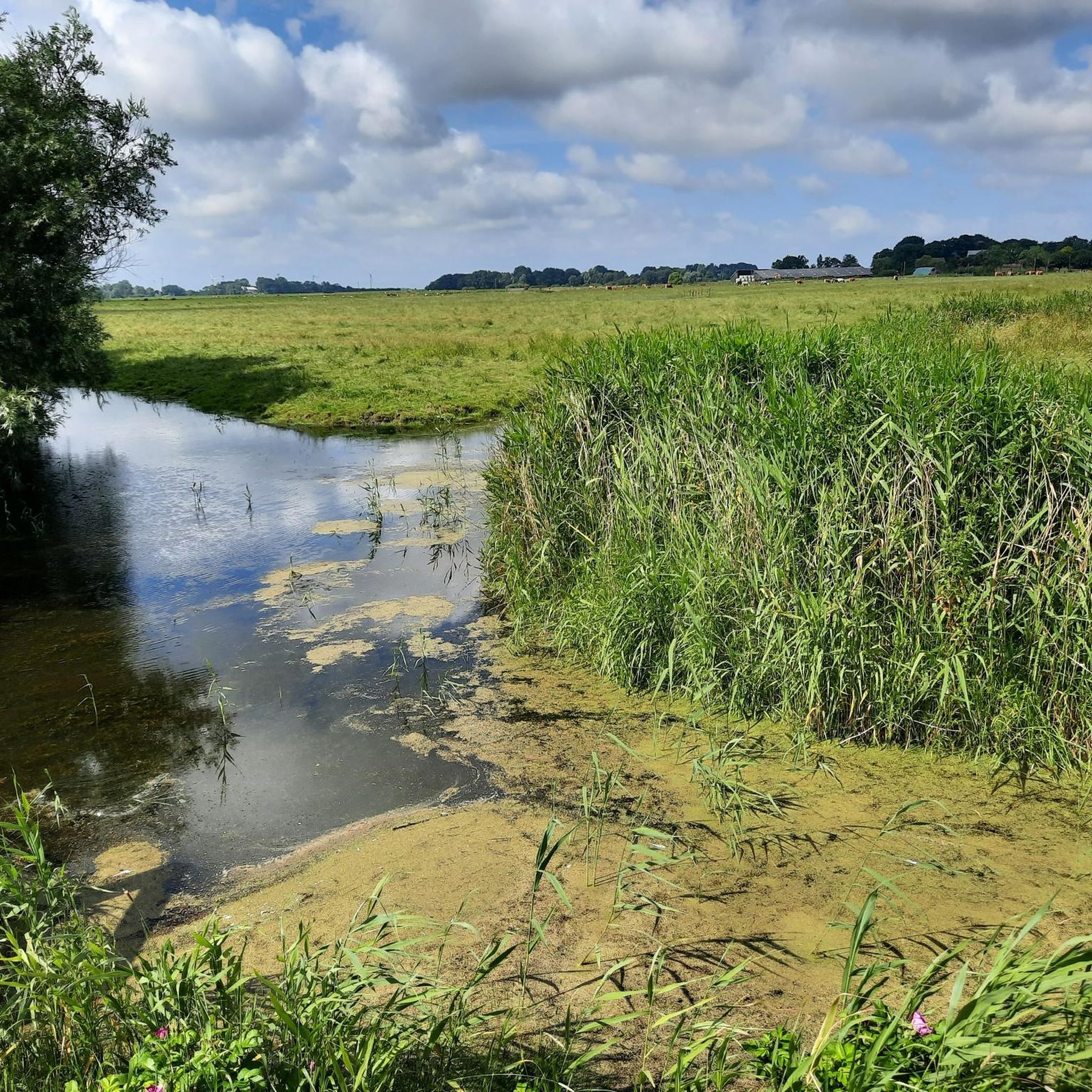
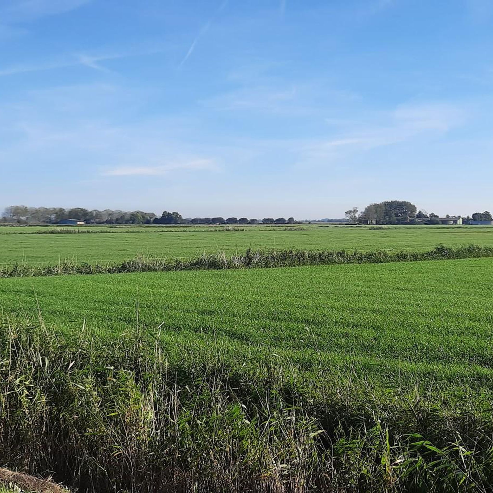
Hiking around Poppenbüll offers diverse landscapes on the Eiderstedt peninsula, bordering the Schleswig-Holstein Wadden Sea National Park. The region features expansive coastal areas, historic dikes, and flat agricultural fields. This unique geography provides a variety of trails, from coastal walks to routes through traditional rural scenery. The terrain is generally low-lying, with minimal elevation changes.
Best hiking trails around Poppenbüll
- The most popular hiking route is Westerhever Storm Surge Marker – Westerheversand Lighthouse loop from Tümlauer Koog, a 10.3…
Last updated: October 13, 2026
4.8
(9)
32
hikers
Moderate hike. Good fitness required. Easily-accessible paths. Suitable for all skill levels.
5.0
(1)
8
hikers
Moderate hike. Good fitness required. Easily-accessible paths. Suitable for all skill levels.

4.0
(1)
10
hikers
24.9km
06:18
10m
10m
Hard hike. Very good fitness required. Easily-accessible paths. Suitable for all skill levels.
5.0
(1)
10
hikers
Easy hike. Great for any fitness level. Easily-accessible paths. Suitable for all skill levels.
4.0
(2)
7
hikers
Moderate hike. Good fitness required. Easily-accessible paths. Suitable for all skill levels.
Get access to more routes and recommendations from other explorers.
Already have an account?
Our route recommendations are based on thousands of hikes, rides, and runs completed by other people on komoot.
Start today with a free account
Your next adventure awaits.
Tips from the Community

🧭St. Peter-Ording – one of probably the best-known and most popular holiday resorts in Schleswig-Holstein🧭. Besides a 12 km long sandy beach, North German landmarks, a unique nature, North German stories, stilt houses, relaxation by the sea as far as the eye can see. https://www.strandbar-54grad-nord.de/ueber-uns High above the sea, however, they defy storm surges and spring tides and also offer guests a wonderful, wide view over the North Sea🌊. Thus, the maritime buildings, unique on the German coast, became a landmark of St. Peter-Ording.
2
0
🍴Very nice staff, a welcoming place to stop not far from the Westerheversand lighthouse❤️🤍❤️- the fish roll/salmon roll was very tasty😋. A nice location after a hike around the lighthouse ❤️🤍❤️.
0
0
👌🏼🔄A great circular route with a main highlight: the ❤️🤍❤️Westerheversand lighthouse & its kilometer-long dikes💚... Here then through the 🌿meadows, a wonderfully varied picture of lush green🌿, 🐑sheep & 🐄cows- and wonderful tranquility. 💚A break for stressed souls 💚
2
0

Charging station with numerous plugs
0
0

Also a beautiful place.
0
1

Please also observe and follow the signs. Unfortunately, too many still do not.
0
0

Great spot on the beach of St. Peter Ording
1
0

New building is finished and beautiful
1
0
Frequently Asked Questions
What kind of terrain can I expect on hikes around Poppenbüll?
Hiking around Poppenbüll offers a diverse landscape, primarily characterized by its low-lying terrain with minimal elevation changes. You'll encounter expansive coastal areas, historic dikes, and flat agricultural fields. The region borders the Schleswig-Holstein Wadden Sea National Park, so expect unique mudflats and sandy beaches. The Eiderstedt peninsula also features traditional 'Fennen' (pastures) and 'Warften' (artificial dwelling mounds), adding a historical dimension to the natural environment.
Are there hiking routes suitable for beginners or those looking for easy walks?
Yes, Poppenbüll offers a wide range of routes, with over 230 easy hikes available. These trails are perfect for beginners or anyone seeking a relaxed walk through the scenic coastal and rural landscapes. An example of an easy route is the Stiff breeze on the coast – Westerhever Storm Surge Marker loop from Westerhever, which is about 3 miles (4.8 km) long and takes just over an hour.
What are some notable landmarks or natural features to see while hiking in Poppenbüll?
Poppenbüll's trails lead to several iconic landmarks and natural features. A must-see is the Westerhever Lighthouse, which is accessible via scenic routes. You can also enjoy views of the lighthouse and the Tümlauer Koog from various viewpoints. The unique mudflats of the Wadden Sea National Park are a major draw, and the area also features historical elements like old dikes and the ancient Tauteich of Helmfleeth.
Can I find circular hiking routes in the Poppenbüll area?
Yes, many of the hiking routes around Poppenbüll are designed as loops, allowing you to start and end at the same point. For instance, the Westerhever Storm Surge Marker – Westerheversand Lighthouse loop from Tümlauer Koog is a popular moderate circular trail that covers about 10.3 miles (16.6 km).
What is the best time of year to go hiking in Poppenbüll?
The Eiderstedt peninsula offers appealing hiking opportunities throughout the year. Spring and summer provide pleasant weather for coastal walks and exploring the green fields. Autumn brings unique colors to the landscape, while winter offers a stark beauty, especially along the Wadden Sea. However, be mindful of seasonal weather changes, particularly strong winds or tides, which can impact coastal routes.
Are there any family-friendly hiking options around Poppenbüll?
Yes, with over 230 easy routes, there are many family-friendly options. The generally low-lying terrain and well-maintained paths make it suitable for walks with children. You can choose shorter loops or trails that lead to interesting points like the village square of Poppenbüll or viewpoints overlooking the Wadden Sea, providing engaging stops for all ages.
What do other hikers enjoy most about the trails in Poppenbüll?
The hiking trails in Poppenbüll are highly rated by the komoot community, with an average score of 4.5 stars from over 3,200 reviews. Hikers often praise the diverse coastal and rural scenery, the unique Wadden Sea experience, and the well-maintained paths that cater to various fitness levels. The opportunity to see iconic landmarks like the Westerhever Lighthouse is also a frequently mentioned highlight.
Are dogs allowed on the hiking trails in Poppenbüll?
Many trails in the Poppenbüll area are dog-friendly, allowing you to explore the beautiful landscapes with your canine companion. However, as parts of the region border the Schleswig-Holstein Wadden Sea National Park and involve agricultural areas, it's always recommended to keep dogs on a leash, especially near livestock or protected wildlife areas, and to check local regulations for specific trails.
How long do typical hikes around Poppenbüll take?
Hike durations vary significantly depending on the route and your pace. You can find short walks lasting around an hour, such as the Stiff breeze on the coast – Westerhever Storm Surge Marker loop from Westerhever. Longer, more challenging treks can take up to five hours or more, like the Westerhever Storm Surge Marker – Westerheversand Lighthouse loop from Tümlauer Koog, which typically takes over 4 hours to complete.
What kind of wildlife can I expect to see while hiking in Poppenbüll?
Poppenbüll's proximity to the Schleswig-Holstein Wadden Sea National Park makes it an excellent area for wildlife spotting, particularly birdlife. The Wadden Sea is a UNESCO World Heritage site renowned for its rich bird populations, especially during migration seasons. You might also spot various coastal flora and fauna, and sheep grazing on the 'Fennen' are a common sight in the rural areas.
Are there any longer, more challenging hikes available?
While much of the terrain is low-lying, there are indeed longer and more challenging options for experienced hikers. The region offers 13 difficult routes, which typically cover greater distances. An example is the Ordinger Beach – St. Peter-Ording Pier loop from Tümlauer Koog, a challenging 17-mile (27.4 km) hike that can take over 6 hours to complete.
Most popular attractions around Poppenbüll

Get inspired with the komoot mobile app


Explore more
Browse the best Hikes in other regions.
