The best walks and hikes around Pottiga
4.6
(8048)
30,309
hikers
935
hikes
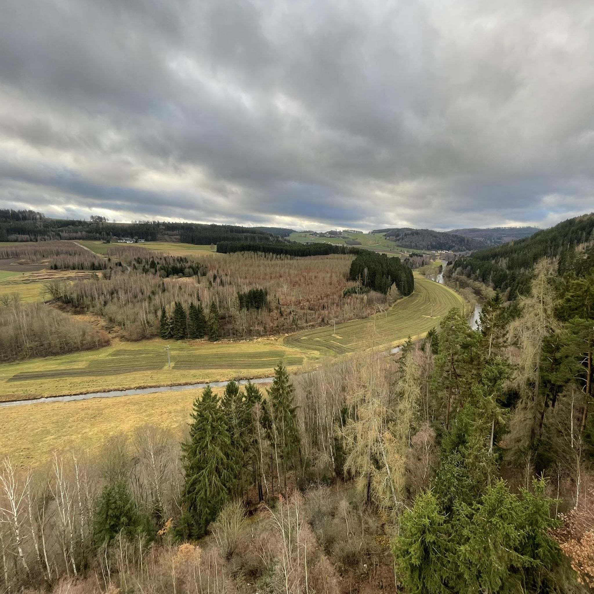
Hiking around Pottiga offers diverse landscapes within the Saale-Orla district, characterized by rolling hills, idyllic valleys, and dense forests. The region is situated on a south-facing slope towards the Saale River, featuring the scenic "Saale Loop" and the fjord-like Bleiloch-Stausee. These geological features are part of the Southeast Thuringian Slate Mountains, providing varied terrain for outdoor activities.
Best hiking trails around Pottiga
- The most popular hiking route is Skywalk at Wachhügel, Pottiga – View near Pottiga loop from Pottiga,…
Last updated: June 29, 2026
4.7
(62)
175
hikers
7.85km
02:12
160m
160m
Moderate hike. Good fitness required. Easily-accessible paths. Suitable for all skill levels.
4.3
(43)
130
hikers
13.6km
03:43
220m
220m
Moderate hike. Good fitness required. Easily-accessible paths. Suitable for all skill levels.

Sign up for free
4.3
(36)
97
hikers
6.69km
02:00
190m
190m
Moderate hike. Good fitness required. Mostly accessible paths. Sure-footedness required.
4.7
(9)
47
hikers
13.0km
03:46
320m
320m
Moderate hike. Good fitness required. Mostly accessible paths. Sure-footedness required.
4.7
(65)
199
hikers
15.1km
04:11
260m
260m
Moderate hike. Good fitness required. Easily-accessible paths. Suitable for all skill levels.
Get access to more routes and recommendations from other explorers.
Sign up for free
Already have an account?
Our route recommendations are based on thousands of hikes, rides, and runs completed by other people on komoot.
Start today with a free account
Your next adventure awaits.
Login or Signup
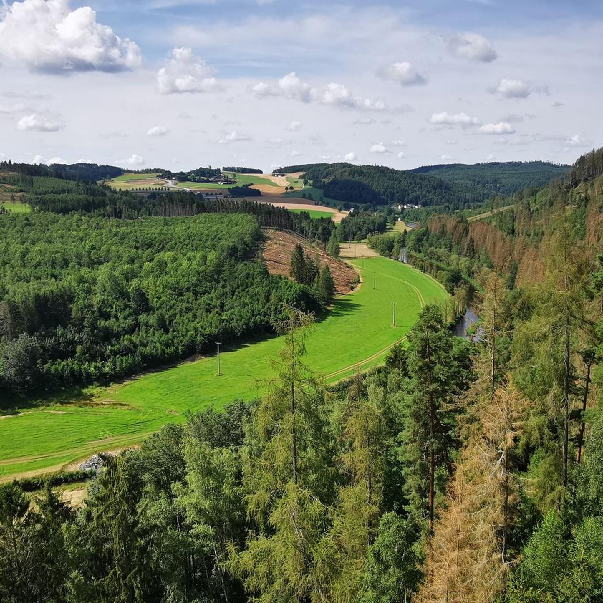
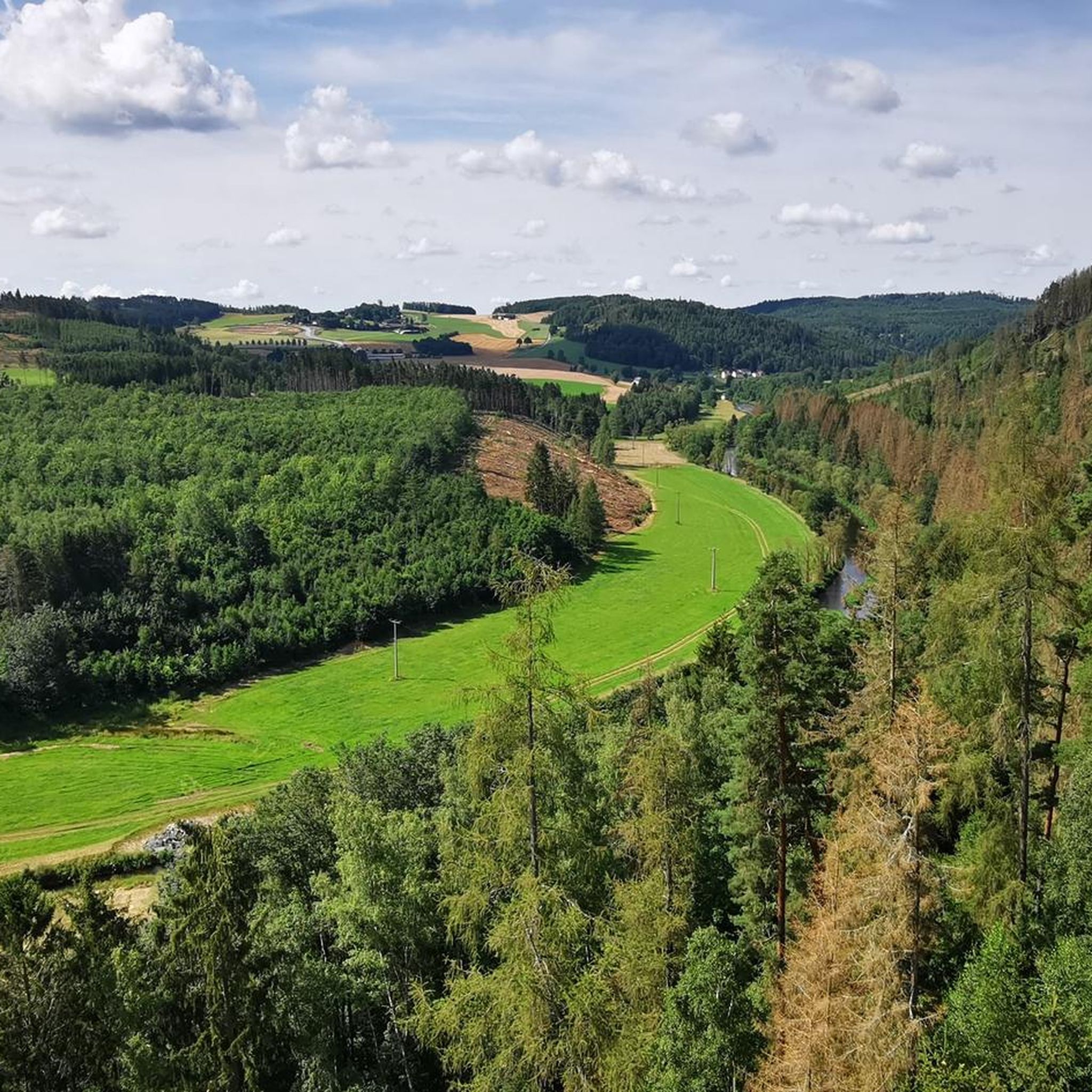
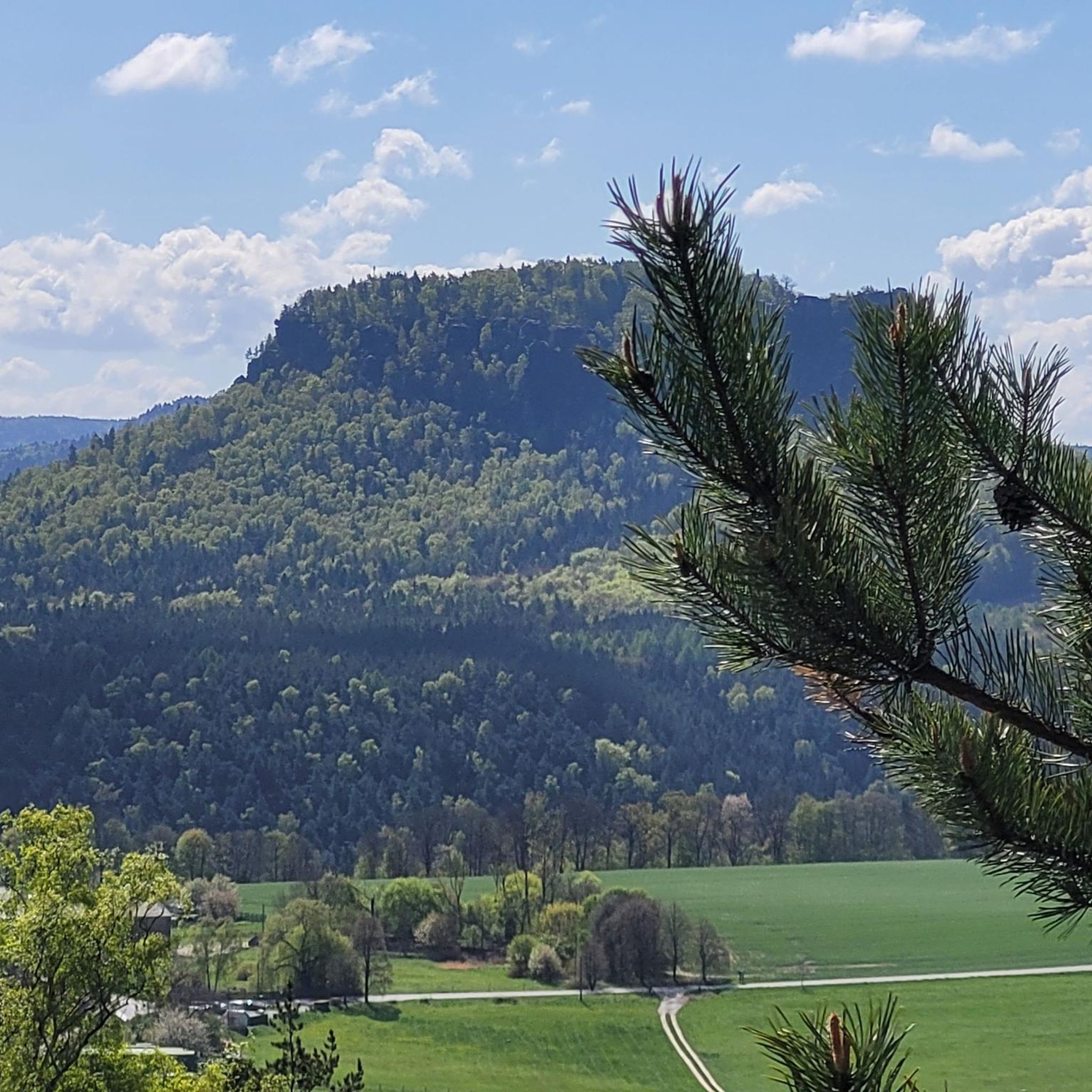
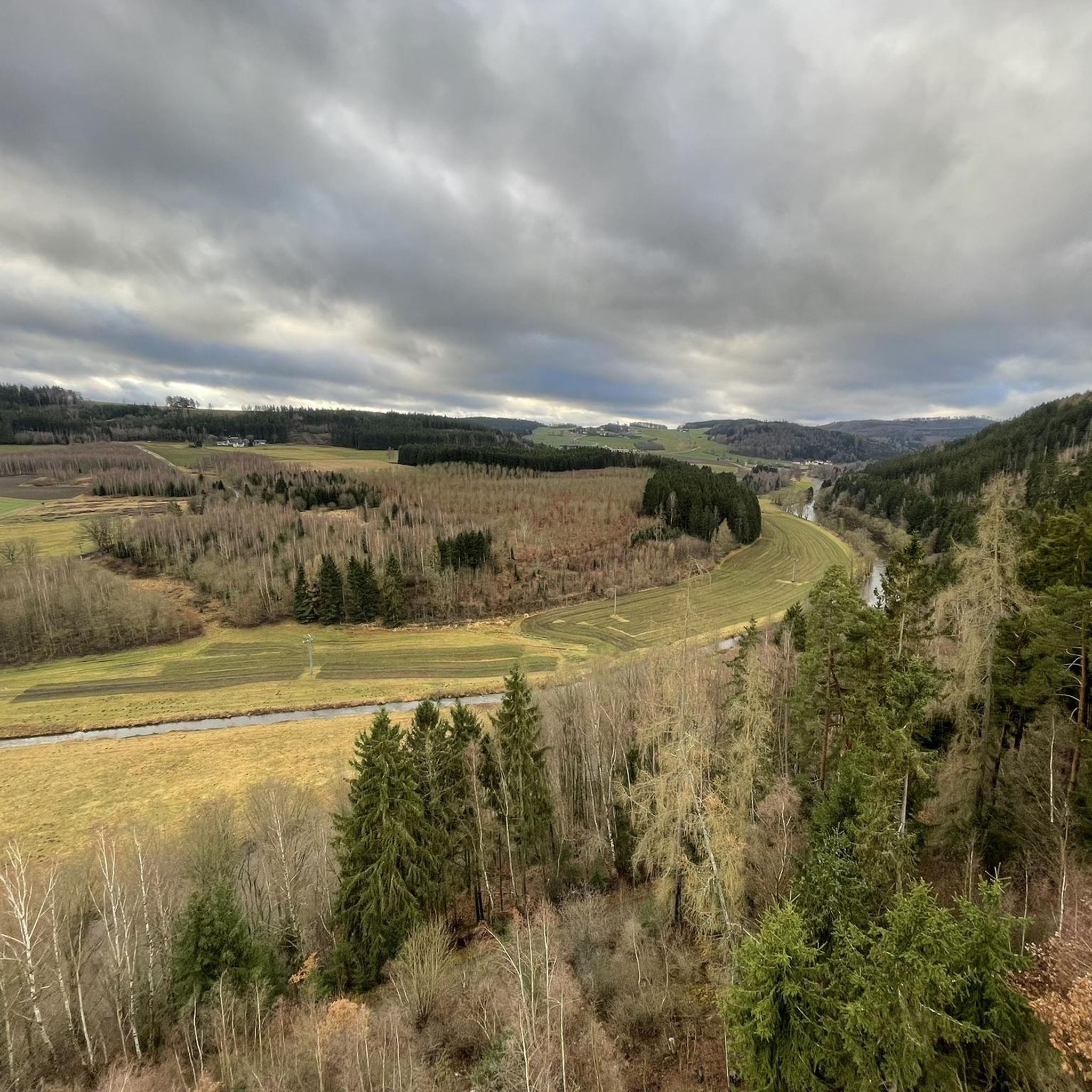
Tips from the Community

Offers an opportunity to rest
0
0

It's just incredibly beautiful here 😊.
0
1
It's just incredibly beautiful here 😊.
0
0

The Rennsteig Trail ends at this bridge—the border between Thuringia and Bavaria. Here, the pebbles collected from the Werra in Hörschel are transferred to the Selbitz River.
8
0

A wonderful old church. If you have the opportunity to take a guided tour, definitely take it!
0
0
We were here for the medieval festival. Small, quaint, and still worth a visit. The small campsite next door is ideal.
0
0

Beautiful Saale Valley!!!
0
0
Frequently Asked Questions
How many hiking trails are available around Pottiga?
Pottiga offers a wide variety of hiking experiences, with over 950 routes available. These trails cater to different preferences, from easy strolls to more challenging paths through the diverse landscapes of the Saale-Orla district.
Are there easy hiking trails suitable for beginners or families in Pottiga?
Yes, Pottiga has numerous easy trails perfect for beginners or families. For instance, the Skywalk at Wachhügel, Pottiga – View near Pottiga loop from Pottiga is an easy 4.1 km route that includes the Skywalk, offering panoramic views. The region is known for its varied terrain, including routes suitable for strollers, such as the local "Pottiga for families - The village round" mentioned in regional research.
What kind of terrain can I expect when hiking near Pottiga?
Hiking around Pottiga means exploring a landscape characterized by picturesque rolling hills, idyllic valleys, and dense forests. The area is part of the Southeast Thuringian Slate Mountains and is situated on a south-facing slope towards the Saale River, featuring the scenic "Saale Loop" and the fjord-like Bleiloch-Stausee. This diverse geology provides a mix of forest paths, riverside trails, and elevated viewpoints.
Are there any circular hiking routes around Pottiga?
Yes, many of the trails around Pottiga are designed as loops, allowing you to start and end at the same point. Examples include the popular Skywalk at Wachhügel, Pottiga – View near Pottiga loop from Pottiga, or the more moderate Tunnel to Totenfels – Stadenmene Homestead loop from Harra, which leads through varied forested and open terrain.
Can I bring my dog on hikes in Pottiga?
Generally, dogs are welcome on most hiking trails around Pottiga. The natural environment with its forests and open spaces provides a great setting for walks with your canine companion. However, it's always advisable to keep dogs on a leash, especially in nature reserves or areas with wildlife, and to respect local regulations.
What are some notable natural attractions or landmarks to see while hiking?
The region around Pottiga is rich in natural beauty and historical landmarks. You can visit the Rock Path Höllental or the Höllental (Frankenwald Nature Park), known for its dramatic gorges. The View of the Höllental and Lichtenberg castle ruins offers a scenic vista. Don't miss the Skywalk at Wachhügel near Pottiga, which provides stunning views and insights into the region's history as part of the former inner German border.
Is the Skywalk at Wachhügel accessible via a hiking trail?
Yes, the Skywalk at Wachhügel is a prominent feature on local hiking trails. The Skywalk at Wachhügel, Pottiga – View near Pottiga loop from Pottiga is an easy and popular route that directly incorporates this viewing platform, offering beautiful vistas of the surrounding landscape.
What is the "Green Belt" and can I hike along it near Pottiga?
The "Green Belt" is a unique natural and historical landscape that follows the former inner German border. Near Pottiga, you can explore sections of this path of peace and reflection, such as the "Former Border Strip Trail along the Saale River." This offers a chance to experience both nature and a significant piece of German history.
What do other hikers say about the trails in Pottiga?
The hiking trails in Pottiga are highly regarded by the komoot community, with an average rating of 4.6 stars from over 7,400 reviews. Hikers often praise the diverse landscapes, the well-maintained paths, and the scenic views, particularly along the Saale River and from viewpoints like the Skywalk at Wachhügel.
Are there any longer, more challenging hikes for experienced hikers?
Yes, for those seeking more challenging routes, Pottiga offers moderate trails that cover longer distances and greater elevation changes. An example is the View from Totenfels – View from Agnesruh loop from Harra, an 13.9 km trail with over 260 meters of elevation gain, leading through river valleys and offering multiple viewpoints. The region also provides access to parts of the famous Rennsteig, a long-distance trail for experienced hikers.
When is the best time of year to go hiking in Pottiga?
The diverse landscapes around Pottiga are beautiful year-round. Spring brings blooming flora, while summer offers lush greenery and pleasant temperatures. Autumn is particularly scenic with vibrant fall colors. Even winter can be appealing for crisp, quiet walks, though some trails might be more challenging with snow or ice.
Are there any gorges or unique geological features to explore?
Yes, the region is part of the Thuringian Slate Mountains and features several interesting geological formations. The nearby Höllental is a notable area with dramatic gorges, including the Höllental Gorge (Franconian Forest), offering unique hiking experiences through its rugged terrain.
Most popular routes around Pottiga
Most popular attractions around Pottiga

Get inspired with the komoot mobile app


Explore more
Browse the best Hikes in other regions.
