The best walks and hikes around Prackenbach
4.4
(628)
1,963
hikers
54
hikes
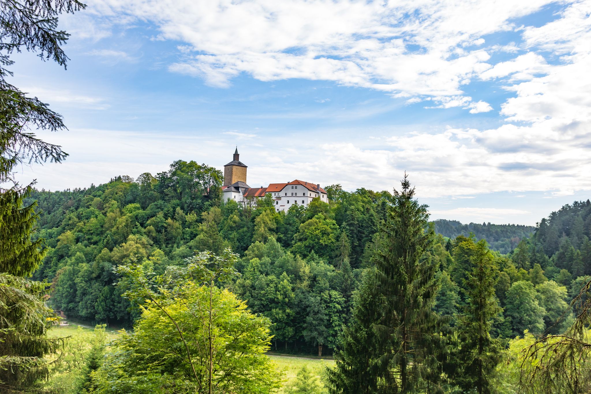
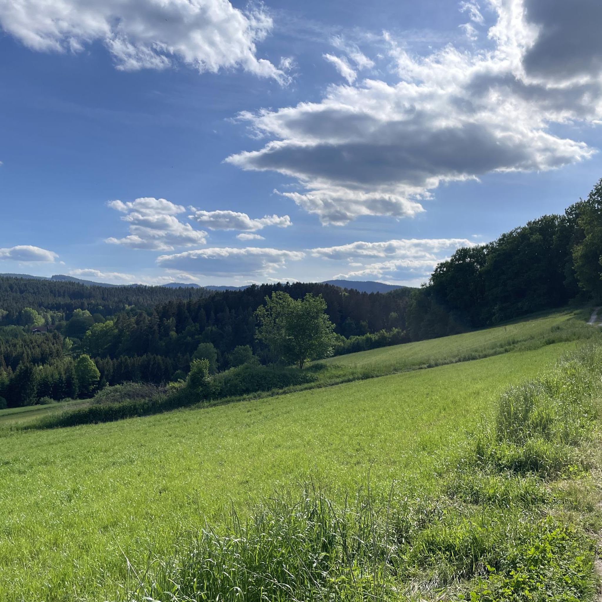
Hiking around Prackenbach offers diverse landscapes within the Bavarian Forest, characterized by rolling hills, dense woodlands, and river valleys. The region features notable natural monuments like the Großer Pfahl, a prominent quartz reef, and the scenic Höllensteinsee. These physical features contribute to a varied terrain suitable for outdoor exploration. The area's extensive network of trails provides access to forests, meadows, and unique geological formations.
Best hiking trails around Prackenbach
- The most popular hiking route is Großer Pfahl rock formation –…
Last updated: September 30, 2026
4.7
(441)
1,361
hikers
Easy hike. Great for any fitness level. Easily-accessible paths. Suitable for all skill levels.
4.6
(26)
143
hikers
Moderate hike. Good fitness required. Easily-accessible paths. Suitable for all skill levels.

4.3
(6)
28
hikers
Moderate hike. Good fitness required. Mostly accessible paths. Sure-footedness required.
4.7
(7)
39
hikers
Moderate hike. Good fitness required. Easily-accessible paths. Suitable for all skill levels.
4.4
(14)
40
hikers
9.53km
02:56
350m
360m
Moderate hike. Good fitness required. Easily-accessible paths. Suitable for all skill levels.
Get access to more routes and recommendations from other explorers.
Already have an account?
Our route recommendations are based on thousands of hikes, rides, and runs completed by other people on komoot.
Start today with a free account
Your next adventure awaits.

Other adventures around Prackenbach

Tips from the Community

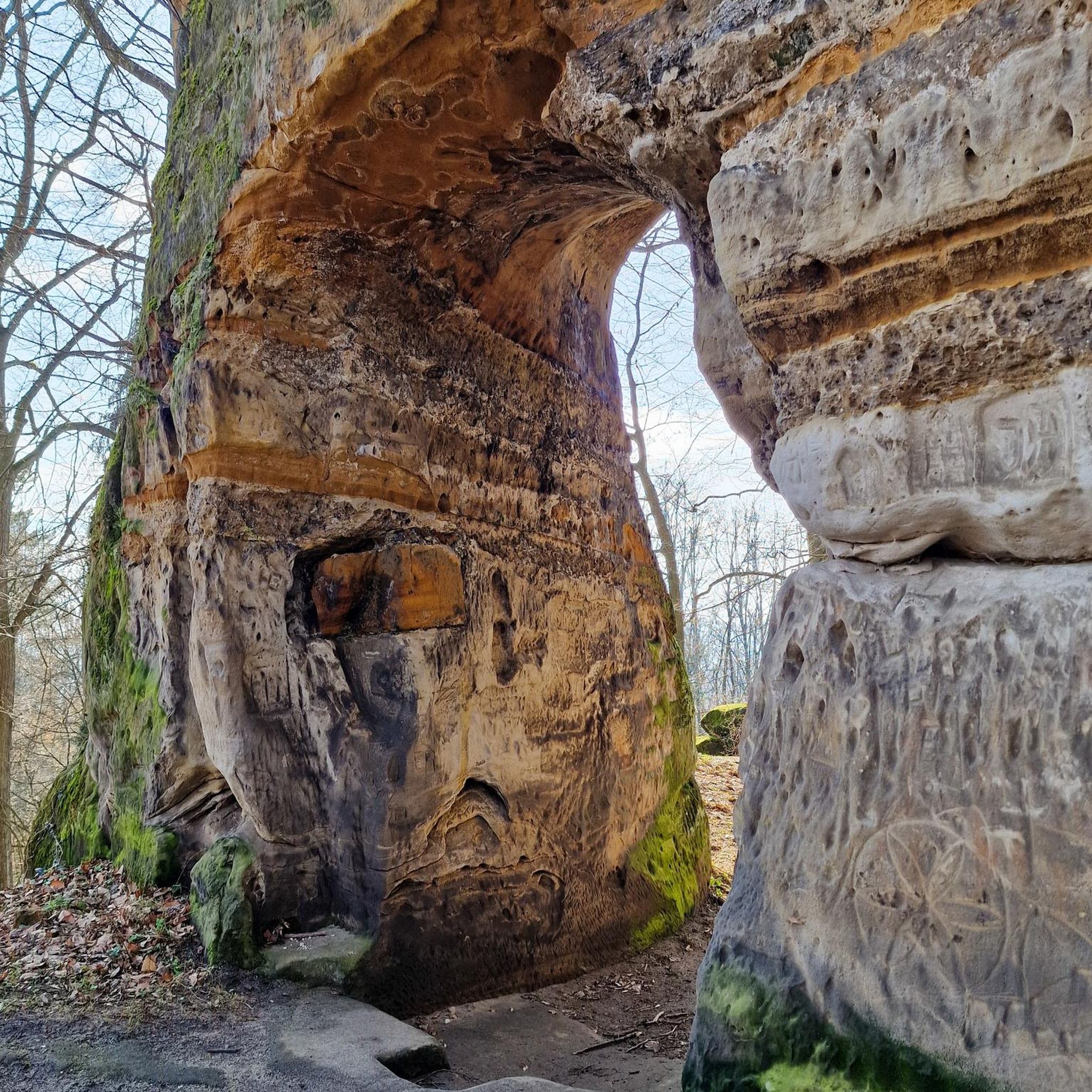
A small circular trail (0.8 km) and a large circular trail (3 km) lead beautifully along the Großer Pfahl near Viechtach.
1
0

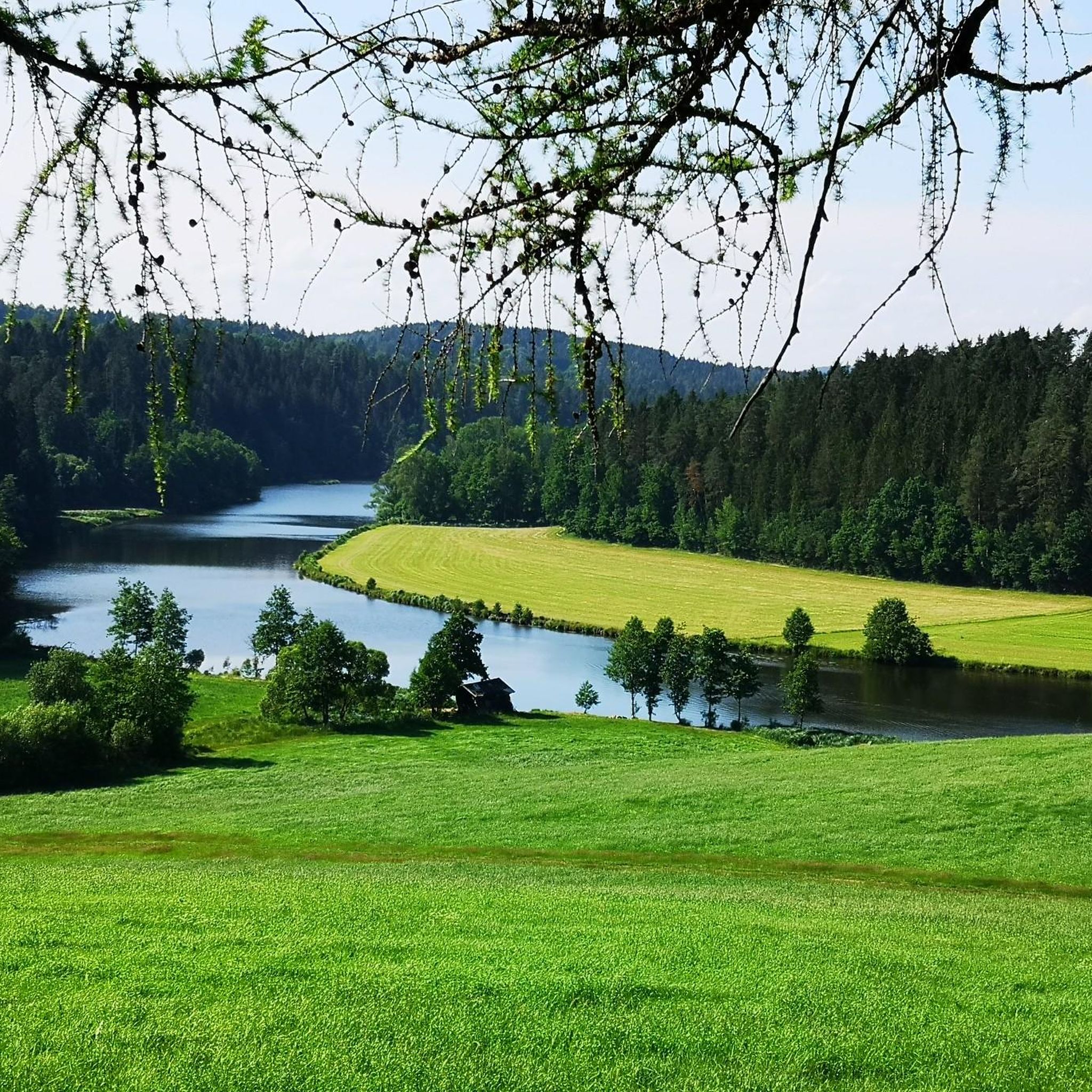
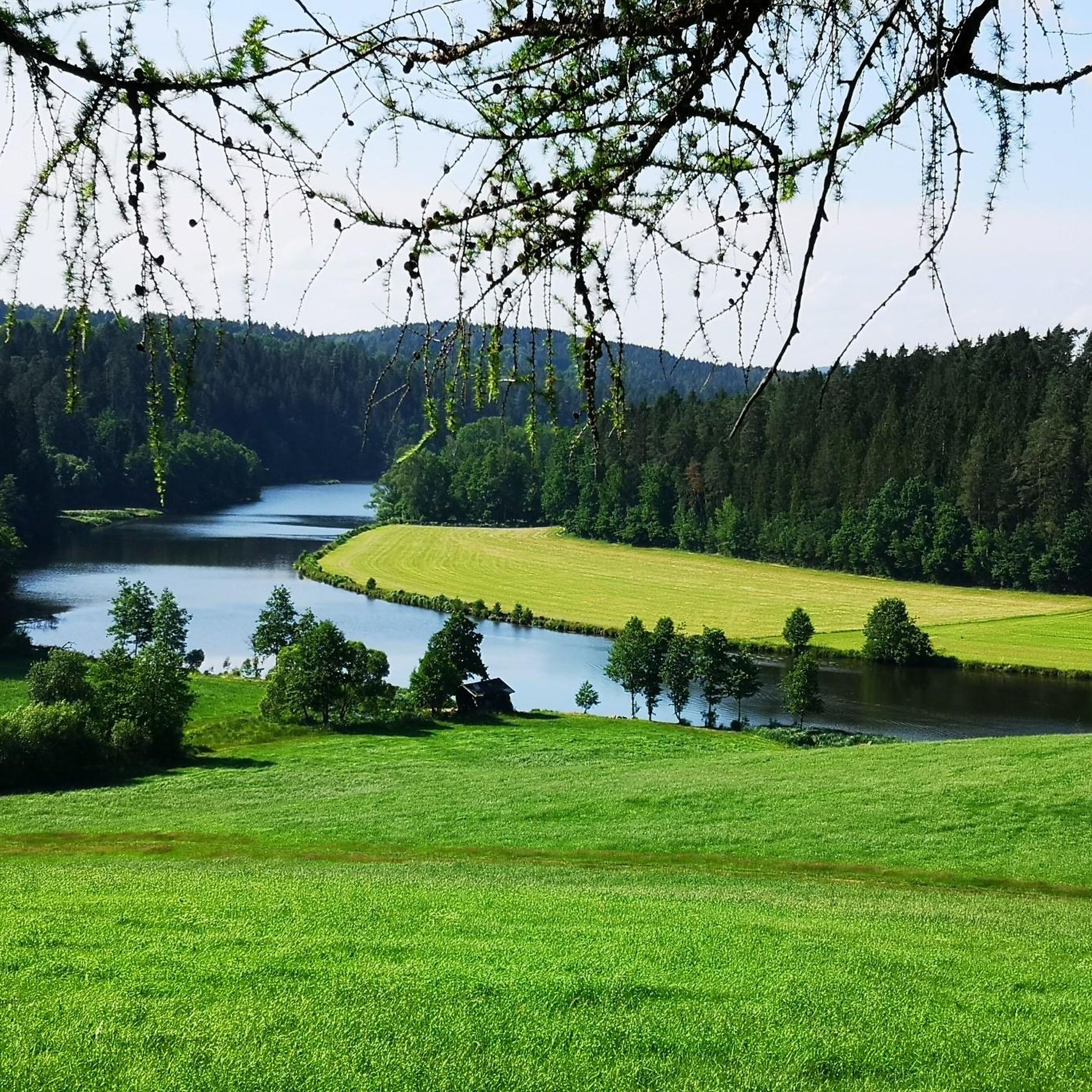
Beautiful view over the lake, beautiful hiking trails in every direction.
0
0
Here the path leads through houses, across a meadow into the forest. It's not directly on the water, but it's very beautiful.
0
0

Geology of the Großer Pfahl The towering rock wall of Pfahl quartz near Viechtach is probably one of the most striking formations on the entire Pfahl. To the west lies a former quarry where Pfahl quartz was mined. An educational trail explains the special features of the region. The Pfahl is the quartz-infused core of the Pfahl zone, which was shaped by Pleistocene erosion from Tertiary weathering formations, a fault zone that runs through the entire Bavarian Forest from NW to SE. The geotop has been awarded the seal of approval "Bavaria's 100 most beautiful geotopes" and is explained on-site with an information board. Further information at https://www.lfu.bayern.de/geologie/bayerns_schoenste_geotope/index.htm Bavarian State Office for the Environment (LfU). https://www.umweltatlas.bayern.de/standortauskunft/rest/reporting/sb_geotope/generate?additionallayerfieldvalue=276R002
1
1
This important geotop is also called Teufelsmühle. The Teufelsmühle (also named Teufelsstein) is a wall-like, double-towered granite summit cliff with "wollsack" and "matrazen" weathering. In sections with close jointing, the rock is weathered in a honeycomb pattern. At the foot of the southern cliff, a slab of anatectic gneiss penetrated by a pegmatite dyke is preserved in the granite. Bayerisches Landesamt für Umwelt (LfU). https://www.umweltatlas.bayern.de/standortauskunft/rest/reporting/sb_geotope/generate?additionallayerfieldvalue=278R009
0
0

The approach from the north via Oberstein, the last section is already quite steep but doable;
0
0


Start at parking lot A.. Höllensteinsee, cross the power station, then turn right towards Krailing, in Blaibach coffee break at Café Lieblingsplatz, continue towards Bad Kötzting (circular route)..over Blaibacher See, turn right (path BL15) to the Höllsteinsee power station, about 5 km..partially well described..
0
0
Frequently Asked Questions
What kind of terrain can I expect when hiking in Prackenbach?
Prackenbach, nestled in the Bavarian Forest, offers diverse landscapes. You'll encounter rolling hills, dense woodlands, and river valleys. Notable natural features include the impressive quartz reef formations of the Großer Pfahl and the scenic Höllensteinsee. The trails vary from easy forest walks to more challenging routes with greater elevation gain.
Are there hiking trails suitable for families with children in Prackenbach?
Yes, Prackenbach offers family-friendly options. The region research mentions a stroller-friendly path to Höllensteinsee. Many of the local circular trails are also suitable for families, providing accessible ways to enjoy nature.
Can I bring my dog on the hiking trails in Prackenbach?
Generally, dogs are welcome on hiking trails in the Bavarian Forest region, including Prackenbach. However, it's always advisable to keep them on a leash, especially in nature reserves or areas with wildlife, and to respect local signage regarding pet regulations.
What natural landmarks or points of interest can I discover while hiking in Prackenbach?
Prackenbach is rich in natural and historical landmarks. You can explore the unique quartz reef of the Großer Pfahl, visit the tranquil Lake Höllenstein, or wander through the Moosbacher Pfahl Nature Reserve. Other points of interest include the ancient Keltenstein cult site and the historic Kesselbodenkapelle.
Are there circular hiking routes available in Prackenbach?
Yes, Prackenbach is known for its numerous well-marked circular hiking trails (Rundwanderwege). Many local routes, such as those starting directly from Prackenbach to destinations like Schwaben, Höllensteinsee, Zellerhöhe, or the Großer Pfahl, are designed as loops, making them convenient for day trips.
What is the best time of year to go hiking in Prackenbach?
The spring, summer, and autumn months generally offer the best conditions for hiking in Prackenbach, with pleasant temperatures and vibrant scenery. Autumn is particularly beautiful with the changing colors of the Bavarian Forest. While some trails may be accessible, winter hiking can be challenging due to snow and ice, though nearby areas offer winter sports opportunities.
Are there easy hiking options for beginners in Prackenbach?
Yes, Prackenbach offers a good selection of easy hikes. Out of the 52 total routes, 32 are classified as easy. An example is the Großer Pfahl rock formation – Great Pfahl loop, which is an easy 4.1-mile (6.7 km) trail exploring the quartz reef formations.
Can I find places to eat or rest along the hiking trails in Prackenbach?
While specific cafes or pubs directly on every trail are not guaranteed, Prackenbach and its surrounding villages offer various establishments where you can find refreshments and meals. Many trails pass through or near these communities, providing opportunities for a break. The tranquil Kunzenweiher pond also serves as a pleasant resting spot on some paths.
Is parking available at the trailheads in Prackenbach?
Yes, for many of the local circular trails and popular routes in Prackenbach, designated parking areas are available at or near the trailheads. It's always a good idea to check specific route information for details on parking facilities.
What do other hikers enjoy most about hiking in Prackenbach?
The hiking experience in Prackenbach is highly rated by the komoot community, with an average score of 4.4 stars from over 500 reviews. Hikers often praise the diverse landscapes, the unique geological features like the Großer Pfahl, and the well-maintained network of trails that cater to various skill levels.
Are there any long-distance hiking trails that pass through Prackenbach?
Yes, Prackenbach is part of significant long-distance hiking networks. The challenging Pandurensteig passes through the municipality, as does the Ostbayerischer Jakobsweg (Eastern Bavarian Way of St. James), offering opportunities for multi-day or spiritual hiking experiences.
What is the Moosbacher Pfahl Nature Reserve and what can I see there?
The Moosbacher Pfahl Nature Reserve is a unique natural area featuring a prominent quartz reef, similar to the Großer Pfahl. It's known for its impressive rock formations and offers dedicated hiking trails. You can explore this area on routes like the Moosbach Church – Moosbachier Pfahl Forest Path loop, which leads through the reserve.
Most popular routes around Prackenbach
Most popular attractions around Prackenbach

Get inspired with the komoot mobile app


Explore more
Browse the best Hikes in other regions.
