The best road cycling routes around Riegsee
4.5
(1641)
25,256
riders
306
rides
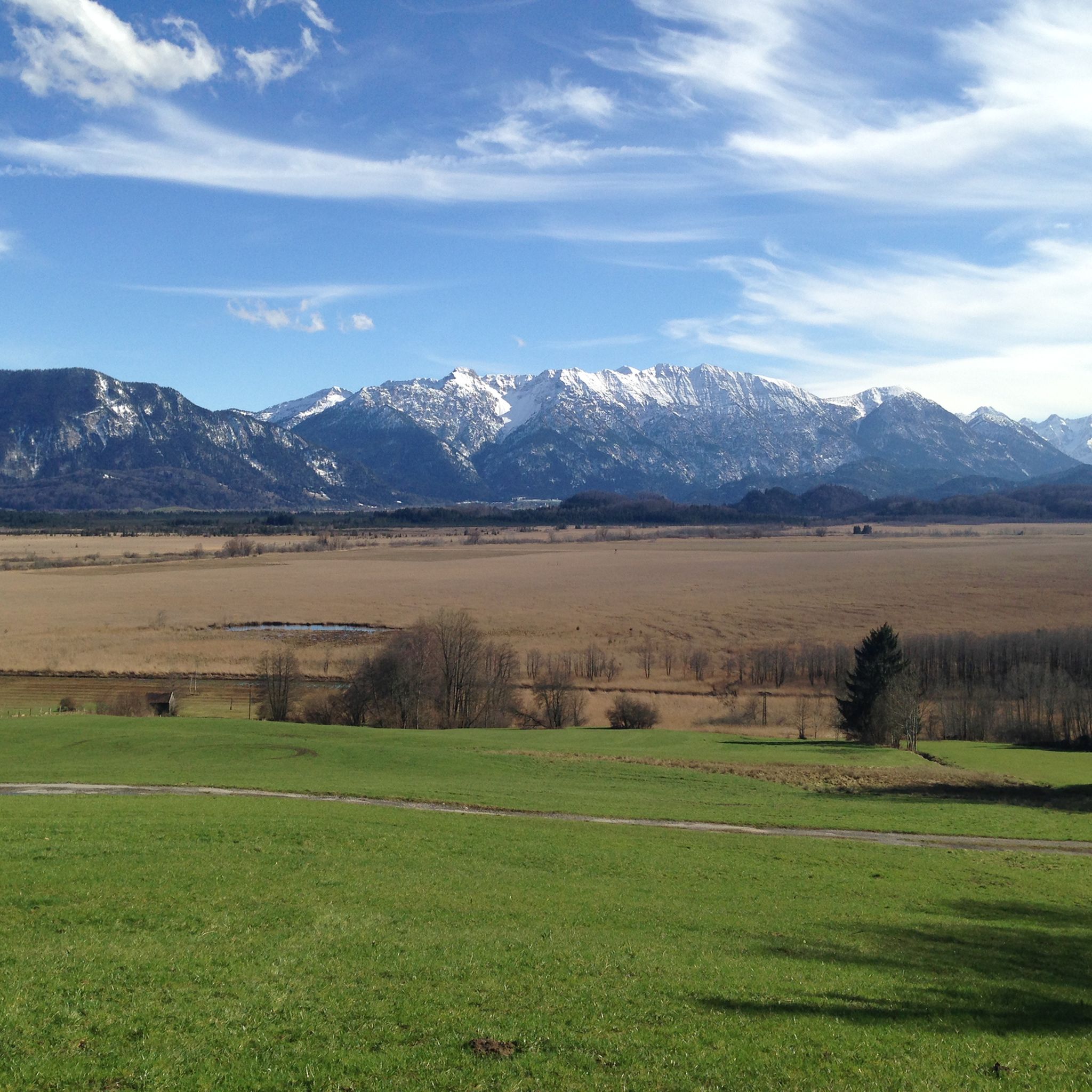
Road cycling routes around Riegsee are set within the Upper Bavarian Pre-Alps, characterized by a landscape of rolling hills, forests, and numerous lakes. The region offers varied terrain, from gentle paths around the lakes to routes with significant elevation gains leading to panoramic mountain views. Cyclists can expect a mix of paved surfaces and dedicated cycle paths, providing access to the area's natural features. Distant views of the Alps, including the Zugspitze massif, are a common backdrop for rides.
Best…
Last updated: September 25, 2026
4.6
(32)
236
riders
Moderate road ride. Good fitness required. Some segments of this route may be unpaved and difficult to ride.
17
riders
67.2km
02:55
570m
570m
Moderate road ride. Good fitness required. Mostly well-paved surfaces and easy to ride.

5.0
(3)
23
riders
38.4km
01:42
250m
250m
Easy road ride. Great for any fitness level. Mostly well-paved surfaces and easy to ride.
29
riders
18.0km
00:42
30m
30m
Moderate road ride. Great for any fitness level. Some segments of this route may be unpaved and difficult to ride.
5.0
(2)
17
riders
12.4km
00:35
120m
120m
Easy road ride. Great for any fitness level. Mostly well-paved surfaces and easy to ride.
Get access to more routes and recommendations from other explorers.
Already have an account?
Our route recommendations are based on thousands of hikes, rides, and runs completed by other people on komoot.
Start today with a free account
Your next adventure awaits.


Tips from the Community

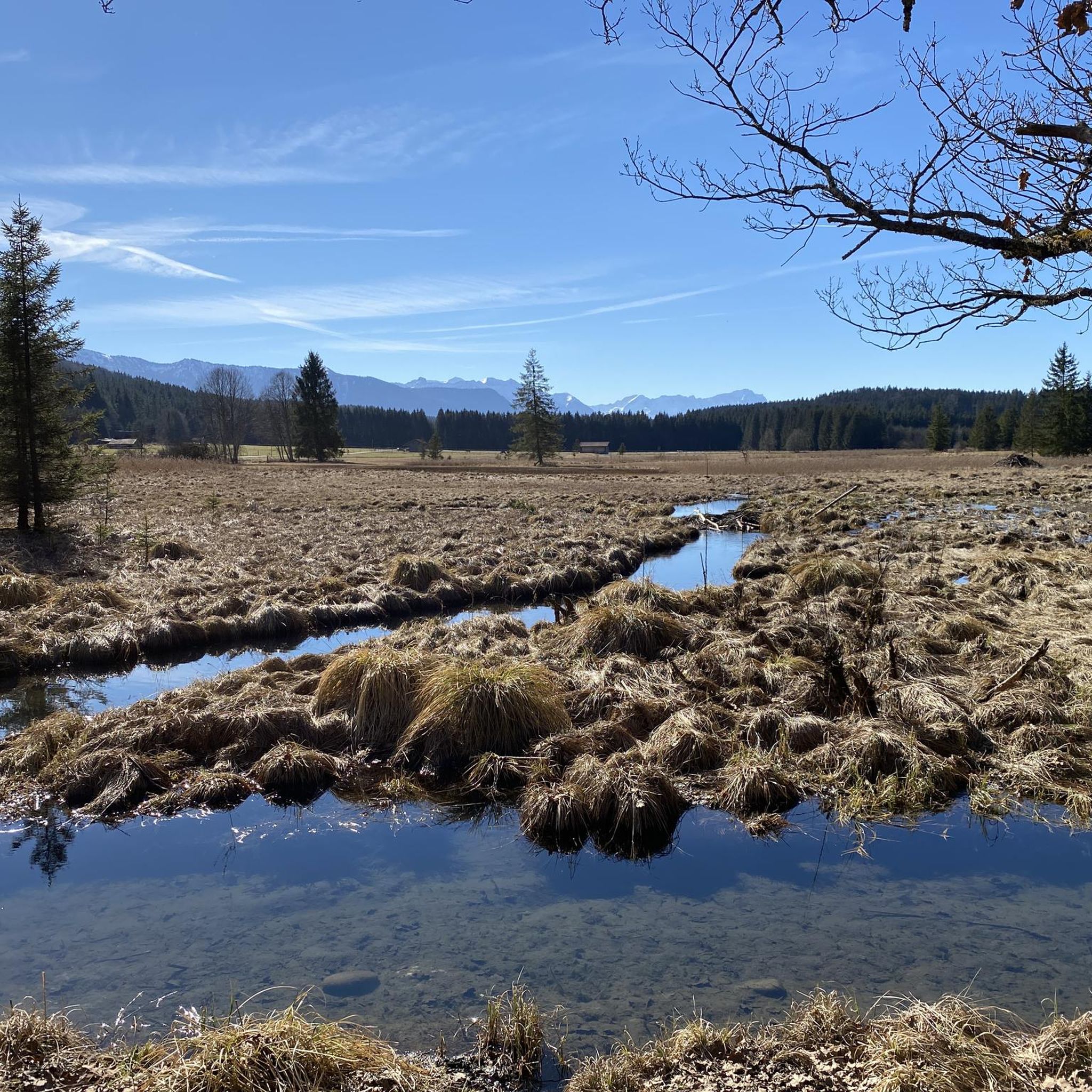
From Kochelsee to its mouth in the Isar It leaves the lake on its northern edge west of Kochel, passes Benediktbeuern and Penzberg and there definitively leaves the northern foothills of the Bavarian Alps. It still flows through Eurasburg and flows into the Isar north of Wolfratshausen in the Auwald Pupplinger Au. Source https://de.wikipedia.org/wiki/Loisach
2
0
From the source to the Bavarian border The Loisach rises in the state of Tyrol between the Lechtal Alps in the west and the Mieminger Mountains in the east, below and northeast of the Fern Pass. Its sources are located in the municipality of Biberwier, near the Mittersee lake, close to the B 179. From there, its water flows northwards through the Ehrwalder Becken and then along the B 187 through Ehrwald and westwards past the Zugspitze to the German border. From Garmisch-Partenkirchen to Kochelsee On the Bavarian side, it first passes Griesen in a northeasterly direction and then flows past Grainau to Garmisch, the largest district of Garmisch-Partenkirchen. Afterwards, it continues north between the Ammergau Alps in the west and the Estergebirge in the east. Via Farchant, Oberau and Eschenlohe, as well as past Ohlstadt and Murnau, the Loisach reaches Großweil, where it turns southeast and flows into the western part of Kochelsee near Schlehdorf, north of the Herzogstand. Source https://de.wikipedia.org/wiki/Loisach
3
0
The name is based on the Indo-Germanic root *leubʰ, meaning 'dear'. It is derived with an s as a suffix. The name refers to the pleasant course of the river.[3] Earlier name forms are Liubasa (1003), Lyubasa (ca. 1052), Liubisaha (1148–1155), Livbisaha (12th century), Liubsaha (1258), Leusach (1332), Leusach (1348), Lewsach (1424), Loysach (1536) and finally Loisach in 1553.[4] Source https://de.wikipedia.org/wiki/Loisach
3
0
The Loisach is a 113.2 km[1] long, south-southwesterly and left tributary of the Isar in Austria and Germany. It originates north of the Fern Pass in Tyrol and flows into the Isar after a northeasterly course near the Bavarian town of Wolfratshausen. Source https://de.wikipedia.org/wiki/Loisach
3
0

The only and natural outflow of Kochelsee is the river Loisach. It leaves the lake in the northeast at Kochel am See, after having previously flowed into the lake on the west side (near Schlehdorf), and flows from there further north.
15
0

Beautiful view over the lake towards the mountains
1
0
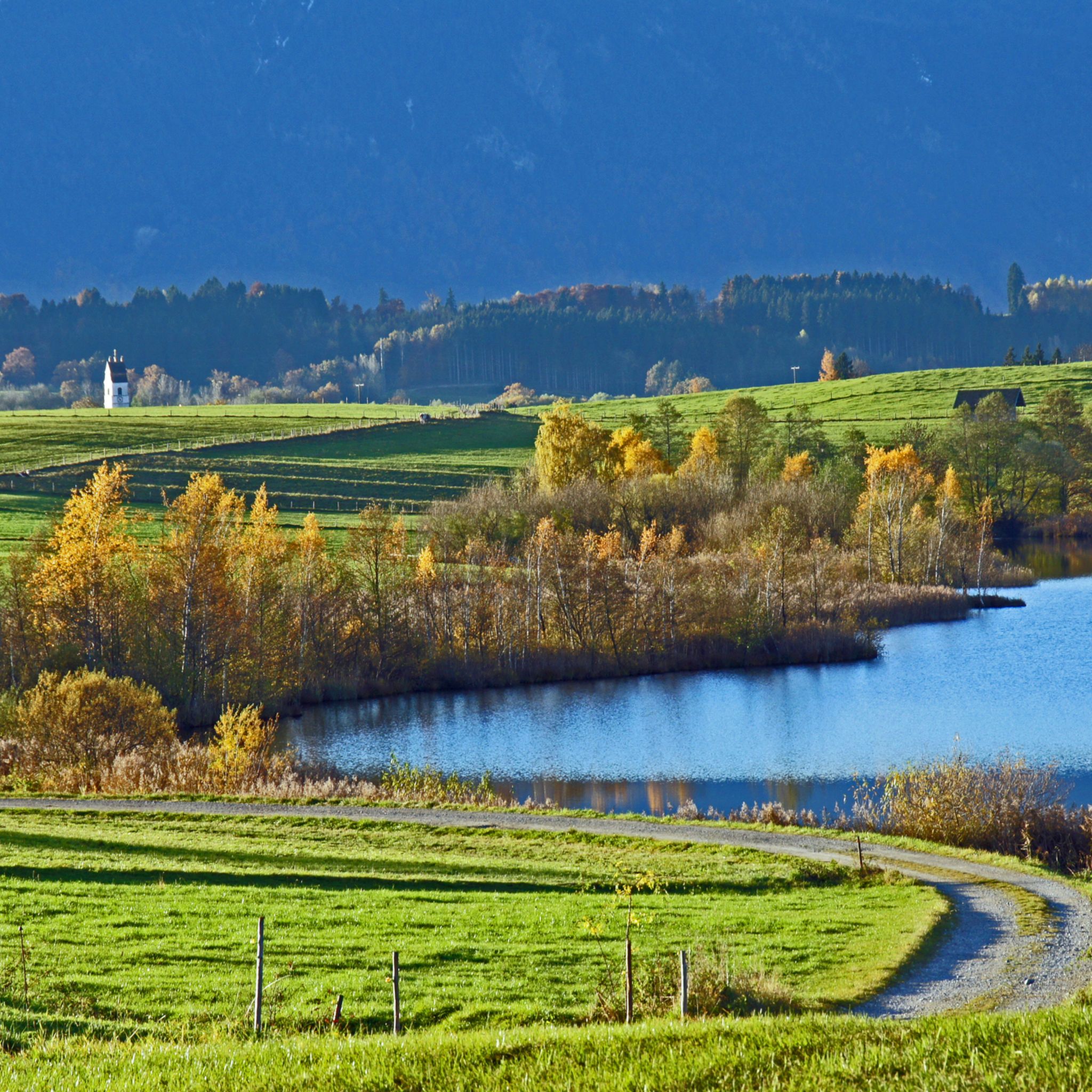
Beautiful lawn and bathing area at Froschhauser See
3
0

Beautiful cycle path with views of the Alpine panorama
0
0
Frequently Asked Questions
How many road cycling routes are available around Riegsee?
The Riegsee region offers an extensive network of over 300 road cycling routes, catering to various fitness levels and preferences. These routes are highly rated by the komoot community, with an average score of 4.5 stars.
What kind of terrain can I expect on road cycling routes in the Riegsee region?
Road cycling around Riegsee features diverse terrain, from gentle paths around the lakes to routes with significant elevation gains leading to panoramic mountain views. You'll find a mix of paved surfaces and dedicated cycle paths, with distant views of the Alps, including the Zugspitze massif, as a common backdrop.
Are there road cycling routes suitable for beginners or families in Riegsee?
Yes, the Riegsee area offers numerous easy road cycling routes perfect for beginners or families. There are 66 easy routes available, providing a relaxed way to explore the picturesque landscape without significant climbs. An example is the Höhlenmühle Aidling – Rest Area on the Lake Shore loop from Riegsee, which is 7.9 miles (12.6 km) long.
What are the best times of year for road cycling around Riegsee?
June and August are particularly popular months for road cycling in the Riegsee region due to favorable weather conditions. However, the season generally extends from spring through autumn, offering pleasant temperatures and stunning natural beauty.
What do other cyclists say about the road cycling experience in Riegsee?
The road cycling routes in Riegsee are highly regarded by the komoot community, with an average rating of 4.5 stars from over 1,200 reviews. Cyclists often praise the region's Pre-Alpine idyll, the clear lakes, and the impressive mountain vistas, as well as the well-maintained network of paths.
What scenic viewpoints or natural features can I see while road cycling near Riegsee?
Many routes offer gigantic panoramas of the Wetterstein mountains, the Zugspitze, and the Alpspitze. You can also enjoy views of the Benediktenwand, Herzogstand, Heimgarten, and the Estergebirge. Notable natural features include the Langer Filz boardwalk in Murnauer Moos and the Lainbach Waterfall.
Are there routes that connect Riegsee with other lakes?
Yes, several routes connect Riegsee with other beautiful lakes in the region, such as Lake Staffelsee, Kochelsee, Osterseen, and Froschhauser Lake. These connections provide opportunities for scenic breaks and even swimming. An example is the View of Lake Starnberg – View of Riegsee loop from Kleinweil.
Can I find routes that pass through the Murnauer Moos?
Absolutely. The Murnauer Moos, a significant moorland area, can be incorporated into road cycling routes. A popular option is the Murnauer Moos – Scenic Road in Upper Bavaria loop from Murnau am Staffelsee, which offers scenic views through this unique ecological landscape.
Are there any circular road cycling routes around Riegsee?
Many of the road cycling routes in the Riegsee area are designed as loops, allowing you to start and end at the same point. Examples include the Paved Cycle Path Zell–Kochel loop from Habach and the Eichsee – Unterau–Großweil Connector loop from Großweil.
Are there any challenging road cycling routes for experienced riders?
Yes, while there are many easy and moderate routes, the Riegsee region also offers 31 difficult road cycling routes with significant elevation gains for those seeking a challenge. These routes often lead to higher vantage points with rewarding panoramic views.
Are there opportunities for wild swimming near the road cycling routes?
The Riegsee itself is one of the warmest bathing lakes in Bavaria, and its clean water is pleasant for swimming. Additionally, routes often connect to other clear lakes like Staffelsee, Kochelsee, and the Osterseen, providing further opportunities for refreshing dips.
Can I find cafes or places to stop for refreshments along the routes?
Routes often pass through idyllic Bavarian villages, where you can find local cafes and traditional inns to stop for refreshments and experience local culture. The region emphasizes 'gentle tourism,' meaning you'll find peaceful environments in quiet villages.
Most popular routes around Riegsee
Most popular attractions around Riegsee

Get inspired with the komoot mobile app


Explore more
Browse the best Road cycling routes in other regions.
