The best road cycling routes around Prüll
4.7
(133)
1,689
riders
139
rides
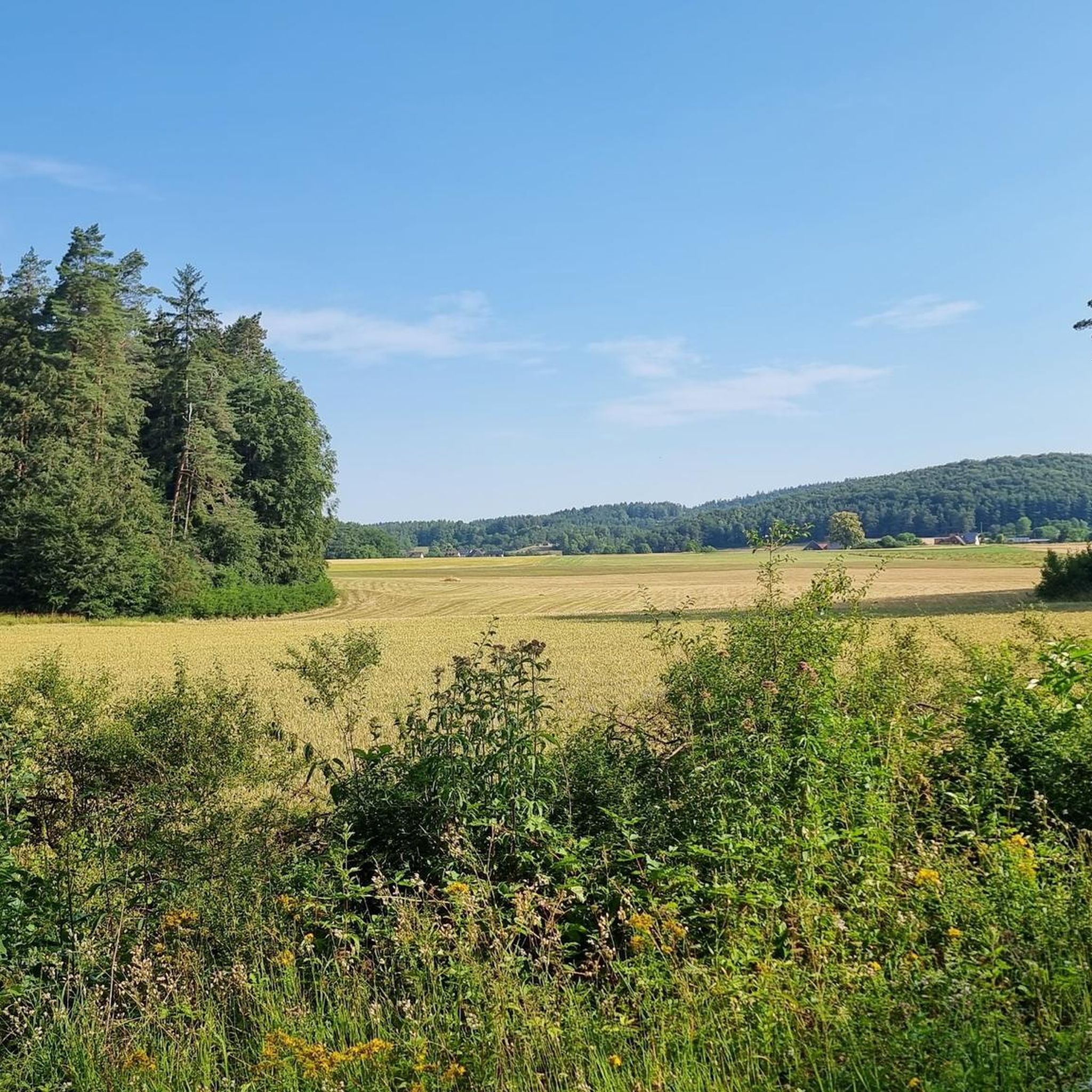
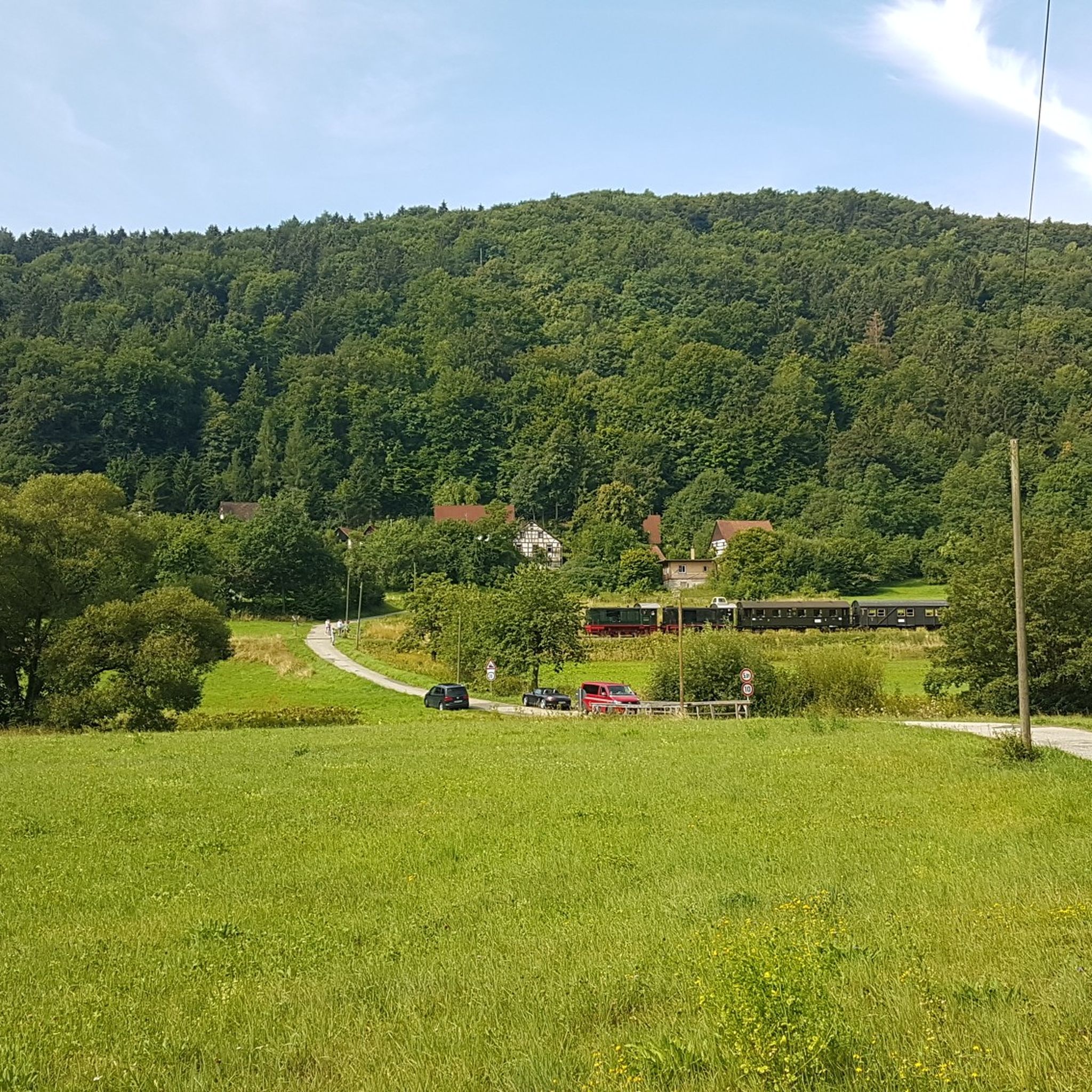
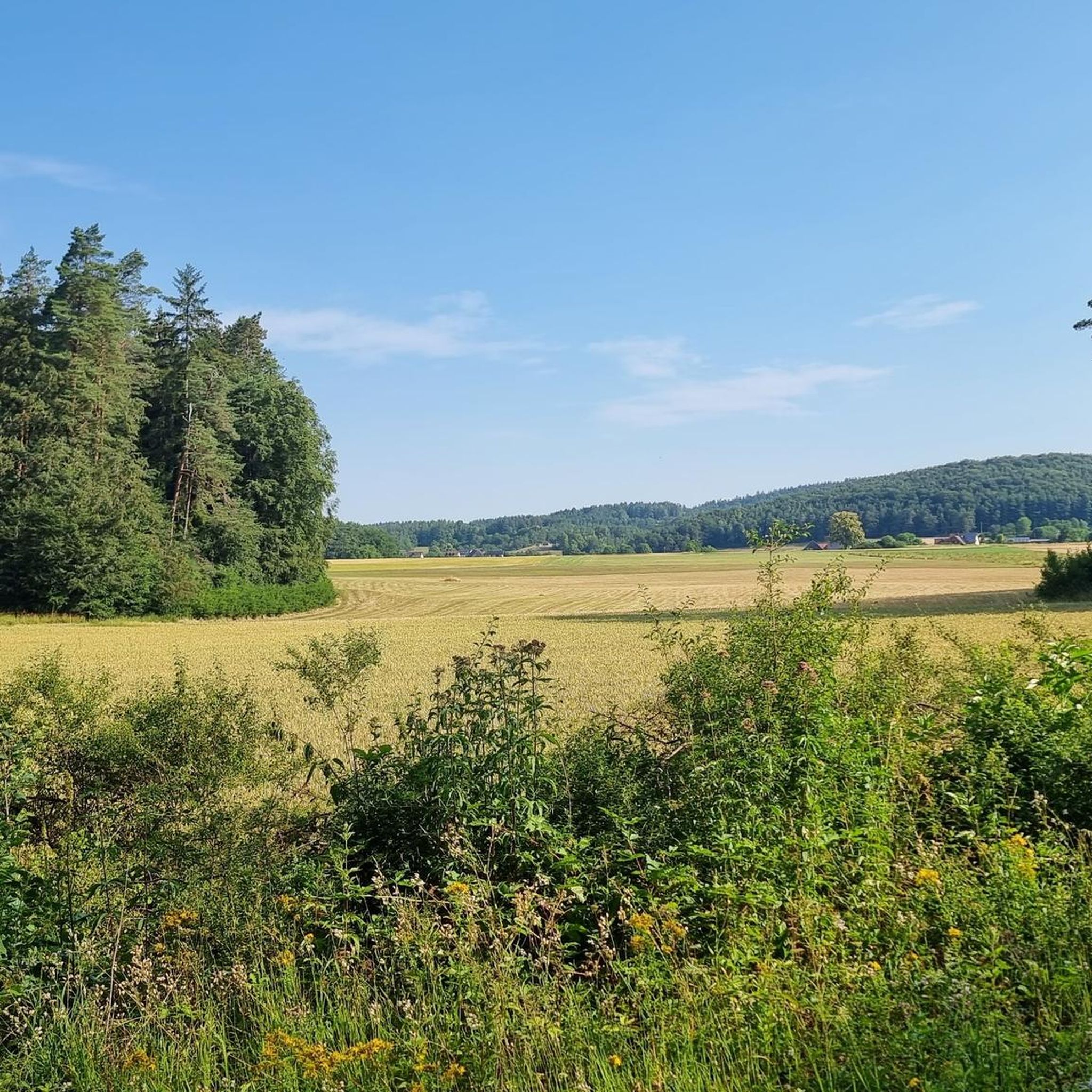
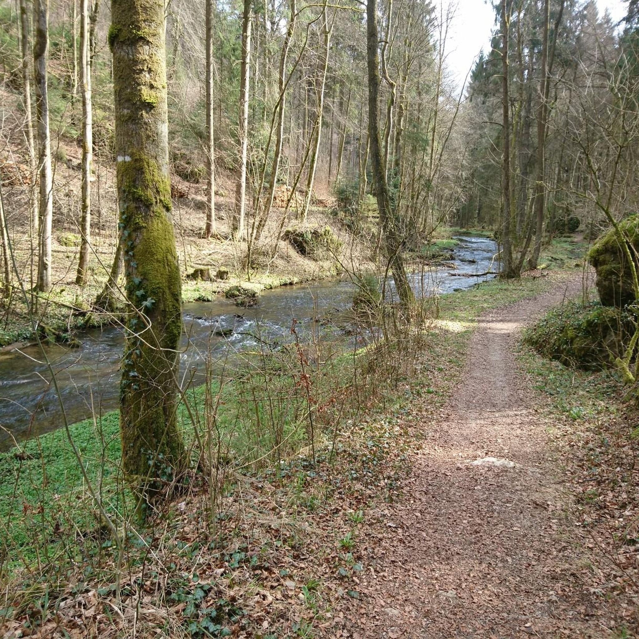
Road cycling routes around Prüll traverse a varied landscape characterized by rolling hills and scenic valleys, typical of the Prüll region. The terrain often includes ascents and descents, providing diverse challenges for road cyclists. This geographic location features routes that wind through forested areas and open countryside, offering a mix of shaded sections and expansive views. The area's elevation changes contribute to the moderate to difficult ratings of many routes.
Best road cycling routes around Prüll
- The most popular road…
Last updated: July 10, 2026
5.0
(2)
31
riders
30.8km
01:35
470m
460m
Moderate road ride. Good fitness required. Mostly well-paved surfaces and easy to ride.
5.0
(1)
17
riders
50.4km
02:37
750m
750m
Moderate road ride. Good fitness required. Mostly well-paved surfaces and easy to ride.

Sign up for free
5.0
(3)
16
riders
45.2km
02:10
580m
580m
Moderate road ride. Good fitness required. Mostly well-paved surfaces and easy to ride.
6
riders
59.9km
03:06
930m
930m
Hard road ride. Very good fitness required. Some segments of this route may be unpaved and difficult to ride.
5.0
(1)
7
riders
44.6km
02:22
610m
610m
Moderate road ride. Good fitness required. Some segments of this route may be unpaved and difficult to ride.
Get access to more routes and recommendations from other explorers.
Sign up for free
Already have an account?
Our route recommendations are based on thousands of hikes, rides, and runs completed by other people on komoot.
Start today with a free account
Your next adventure awaits.
Login or Signup

Tips from the Community

The marketplace of Waischenfeld, officially named Bischof-Nausea-Platz today, forms the historical and social heart of the state-recognized climatic health resort in the Wiesenttal valley. Characterized by well-preserved Franconian half-timbered houses, the area reflects over 700 years of town history. The square extends across the valley floor directly below the striking Jura cliffs and the medieval Waischenfeld Castle with its famous round tower, the "Steinerner Beutel". As a central hub, it houses important municipal facilities such as the town hall and the tourist information office in the historic Baderhaus, and also serves as a backdrop for traditional markets and town festivals. Furthermore, the square functions as an ideal starting point for the historical city tour and the short panorama trail.
1
0
The Mariengrotte above the Bärenschlucht is a significant memorial and devotional site, closely linked to the region's history. It is hidden on the rock faces between the Bärenschlucht and the village of Weidmannsgesees. The grotto was erected in memory of a soldier from Weidmannsgesees who returned severely wounded from World War I in 1917. It has served as a place of silence and prayer ever since. Like many grottos in Franconian Switzerland, it is designed in the style of a Lourdes grotto, often with a statue of Mary and small candle offerings from visitors. Especially in the evening, when lights are burning on holidays, it is considered a very atmospheric place in the middle of the forest.
1
0

From November 9, 2025, the cave will be in winter mode, meaning it will only be open on Sundays. Guided tours will take place on Sundays at the following fixed times: 11:00 AM, 12:20 PM, 1:40 PM, and 3:00 PM. Between December 26 and January 6, the cave will be open daily at the same tour times.
8
0

The old town hall formerly served as a sales hall for bread and meat products, a frequently used dance floor, a prison (known as the "Narrenhäuslein"), a fire extinguisher's house, and a post office. Later, it housed the savings bank. Today, the old town hall houses the residents' registration office, the passport office, the assembly hall, and the wedding hall.
0
0

It is dedicated to St. John the Baptist and was dedicated in June 1952.
0
0

Great bike path with great views
0
0

Donated in 1917 for the safe return from the war
0
0

Great view! 🏞 The path there isn't really suitable for road bikes... But it's only about 200m of gravel road, after turning off the main road! ;) 🫡
1
0
Frequently Asked Questions
What is the general terrain like for road cycling around Prüll?
The road cycling routes around Prüll feature a varied landscape of rolling hills and scenic valleys. You can expect routes that include both ascents and descents, winding through forested areas and open countryside, offering a mix of shaded sections and expansive views. The elevation changes contribute to the moderate to difficult ratings of many routes.
How many road cycling routes are available in the Prüll area?
There are over 140 road cycling routes available in the Prüll area, catering to various skill levels. This includes 11 easy routes, 92 moderate routes, and 38 difficult routes, ensuring options for every cyclist.
Are there any easy road cycling routes for beginners in Prüll?
Yes, there are 11 easy road cycling routes around Prüll. These routes are generally shorter and have less significant elevation changes, making them suitable for beginners or those looking for a more relaxed ride.
What kind of landmarks or attractions can I see along the road cycling routes in Prüll?
Many routes offer views of historical sites and natural formations. For instance, you might encounter Pottenstein — Old Town and Castle, Rabenstein Castle, or Pottenstein Castle. Natural highlights include Riesenburg Collapse Cave and Rock formations on the Jägersteig.
Are there any long-distance road cycling routes in the Prüll region?
Yes, the Prüll region offers several longer routes. For example, the View of Pottenstein – Adlitz Scenic Road loop from Pottenstein is a difficult 37.2-mile (59.9 km) route with significant elevation gain, ideal for experienced cyclists looking for a challenge.
What do other road cyclists say about the routes in Prüll?
The road cycling routes in Prüll are highly rated by the komoot community, with an average score of 4.6 stars from over 130 reviews. Cyclists often praise the varied terrain, scenic views, and the mix of challenging climbs and enjoyable descents.
Are there road cycling routes that pass through historic towns or offer cultural sights?
Absolutely. The Betzenstein Old Town – View of Pottenstein loop from Pottenstein is a 28.0-mile (45.1 km) trail that leads through Betzenstein Old Town and towards scenic viewpoints, offering a blend of cycling and cultural exploration.
Can I find routes with castle views in the Prüll area?
Yes, several routes provide excellent views of local castles. The View of Rabeneck Castle – View of Pottenstein loop from Pottenstein is a moderate 31.3-mile (50.4 km) path that offers varied scenery, including views of Rabeneck Castle.
What is the typical difficulty level of road cycling routes in Prüll?
The majority of road cycling routes in Prüll are rated as moderate (92 routes) or difficult (38 routes). This indicates that most routes involve significant elevation changes and require a good level of fitness, though there are also 11 easy routes available.
Are there any specific routes that offer particularly good viewpoints?
Many routes are designed to showcase the region's beauty. The View of Pottenstein – Old Town Hall Pegnitz loop from Pottenstein is a popular route that offers scenic vistas, including views towards Pottenstein and Pegnitz.
What kind of natural features can I expect to see while road cycling in Prüll?
The region is known for its diverse natural features, including dense forested sections and open countryside. You might also encounter unique geological formations like the Riesenburg Collapse Cave or the Gößweinstein Rock Trail, which are part of the broader natural landscape.
Most popular attractions around Prüll

Get inspired with the komoot mobile app


Explore more
Browse the best Road cycling routes in other regions.
