The best MTB trails in the Purcell Mountains
5.0
(4)
201
riders
22
rides
Mountain biking in the Purcell Mountains offers a diverse landscape for riders, characterized by rugged terrain, glaciated peaks, and extensive forest cover. The region features a network of trails winding through alpine lakes, vast meadows, and along rapid rivers. This area of British Columbia provides varied elevation changes and natural features suitable for mountain biking.
Best mountain bike trails in the Purcell Mountains
- The most popular mountain bike trail is Toby Creek loop from BJ's Bench, a 5.1 miles…
Last updated: September 28, 2026
5.0
(1)
35
riders
8.23km
00:48
140m
140m
Hard mountain bike ride. Great for any fitness level. Advanced riding skills necessary. Some portions of the route may require you to push your bike.
21
riders
22.5km
02:01
350m
350m
Moderate mountain bike ride. Good fitness required. Suitable for all skill levels.

5.0
(1)
15
riders
18.0km
01:55
460m
460m
Moderate mountain bike ride. Good fitness required. Advanced riding skills necessary.
15
riders
19.2km
02:12
600m
600m
Moderate mountain bike ride. Good fitness required. Advanced riding skills necessary.
15
riders
Hard mountain bike ride. Good fitness required. Advanced riding skills necessary. Some portions of the route may require you to push your bike.
10
riders
55.2km
04:55
800m
800m
Moderate mountain bike ride. Good fitness required. Suitable for all skill levels.
9
riders
18.0km
01:42
330m
330m
Moderate mountain bike ride. Good fitness required. Advanced riding skills necessary.
5
riders
12.6km
01:42
580m
580m
Hard mountain bike ride. Good fitness required. Advanced riding skills necessary. Some portions of the route may require you to push your bike.
7
riders
12.3km
01:06
220m
220m
Easy mountain bike ride. Great for any fitness level. Suitable for all skill levels.
5
riders
21.5km
02:02
380m
380m
Moderate mountain bike ride. Good fitness required. Suitable for all skill levels.
Get access to more routes and recommendations from other explorers.
Already have an account?
Our route recommendations are based on thousands of hikes, rides, and runs completed by other people on komoot.
Start today with a free account
Your next adventure awaits.
Popular around Purcell Mountains

Pacific Northwest National Scenic Trail — From Alpine to Alava through the untamed Northwest

Cross Canada Ride — heading east for 6,800km

BC Epic 1000
Hiking in the Purcell Mountains
Road Cycling Routes in the Purcell Mountains
Cycling in the Purcell Mountains
Running Trails in the Purcell Mountains
Gravel biking in the Purcell Mountains


Tips from the Community

Placer Trail follows a wide former mining road through the forest above Toby Creek in Panorama’s valley. The gently undulating route offers regular views over the creek and surrounding evergreen forest as it winds toward Hale Hut. It’s ideal for a hike or a mountain bike ride to enjoy the quieter side of Panorama’s mountain landscape.
0
0
Toby Creek is a clear mountain stream fed by the peaks of the Purcell Mountains. Its fast-flowing waters accompany most of the Nordic trail network, adding the sound of rushing water to hikes, rides, and ski outings, and is one of the best features of exploring the routes along this part of the Panorama landscape.
0
0

Mount Baker Downhill Trailhead is down the dirt Gold Creek Road, park in a dirt lot just off the main road, and begin your hike there. There are no pit toilets or water fountains here.
0
0

Here there is a bridge on the side through which you can cross this small stream
0
0
The SW Passage trail is steep enough to ride a bike
0
0
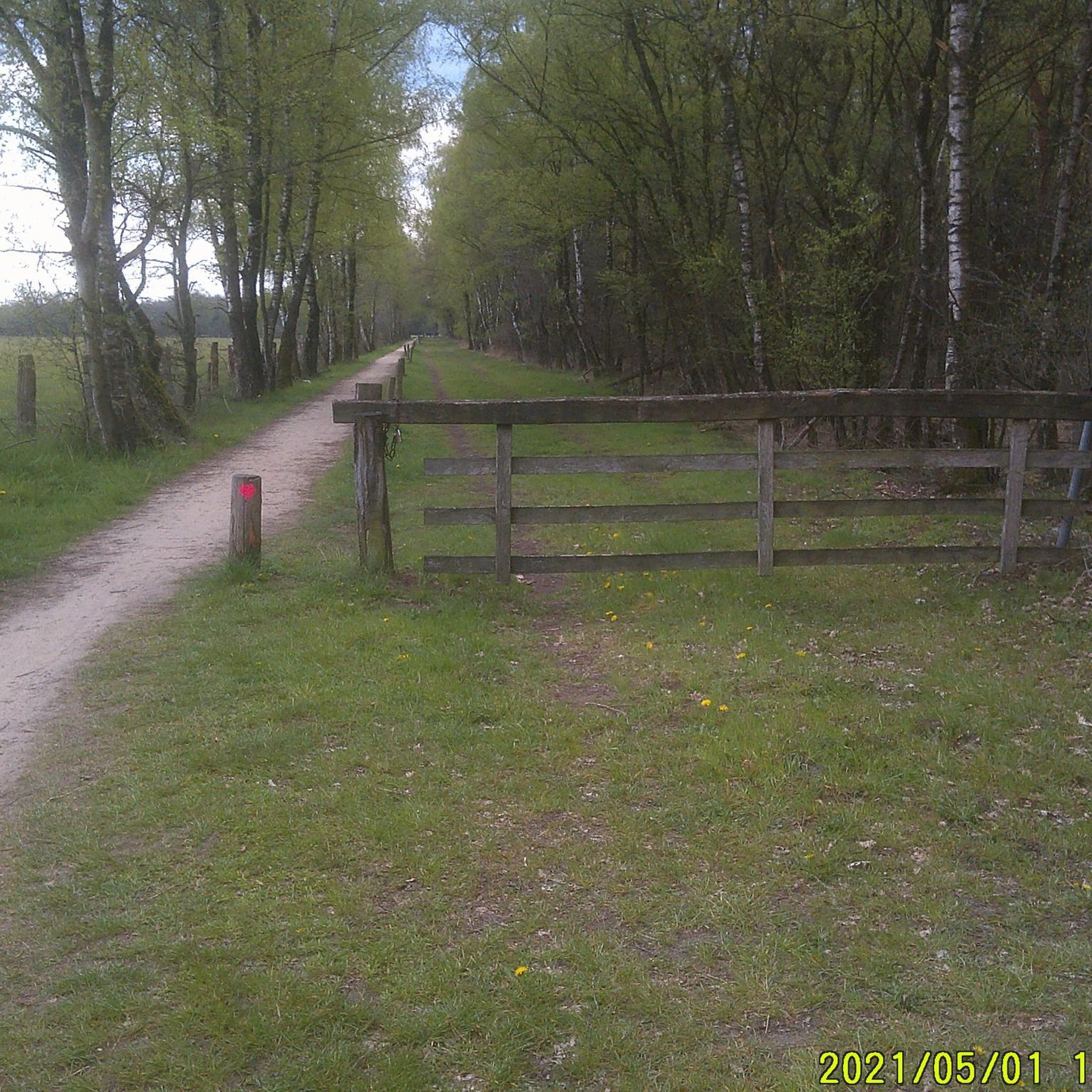
Wide trail with little slope
0
0
Frequently Asked Questions
How many mountain bike trails are available in the Purcell Mountains?
The Purcell Mountains offer a network of over 20 mountain bike trails, catering to various skill levels. You'll find everything from easier paths to challenging downhill routes, with 2 easy, 14 moderate, and 6 difficult trails recorded.
Are there any easy mountain bike trails suitable for beginners in the Purcell Mountains?
Yes, there are a few easier trails. For a pleasant ride, consider the Toby Creek loop from Panorama Mountain Village, which is rated as easy and covers about 12.7 km.
Which mountain bike trails offer a moderate challenge in the Purcell Mountains?
Many trails in the Purcell Mountains are moderately challenging. A popular option is the Mountainbike loop from 30th Ave N at Panorama Rd (SB), which is 22.5 km long and offers varied terrain through forests and open areas. Another great choice is the Moonraker Bike Trails loop from Seymour Arm, an 18 km trail through diverse forest landscapes.
Where can I find more challenging mountain bike trails in the Purcell Mountains?
For a more demanding experience, the Purcell Mountains have several difficult trails. The Toby Creek loop from BJ's Bench is a technical 8.2 km route with significant elevation changes. Another difficult option is the Forest Trail – Wooden Bridge Over Stream loop from Kimberley Riverside Campground, covering 11.4 km with considerable elevation gain.
Are there any circular mountain bike routes in the Purcell Mountains?
Yes, many of the mountain bike trails in the Purcell Mountains are designed as loops. Examples include the Moonraker Bike Trails loop from Moonraker Cedar Lake Trailhead, a 19.2 km moderate route, and the Mountainbike loop from Radium Wetlands Recreation Site, a challenging 12.6 km ride.
What natural features or landmarks can I see along the mountain bike trails?
The Purcell Mountains are rich in natural beauty. Along your rides, you might encounter dramatic glaciated peaks, pristine alpine lakes, and lush old-growth forests. Notable attractions in the wider region include the Canyon Creek Gorge and the tranquil Cedar Lake Picnic Area. You can also find scenic waterfalls like Lower Bugaboo Falls.
What is the best time of year for mountain biking in the Purcell Mountains?
The best time for mountain biking in the Purcell Mountains is typically from late spring through early autumn. The region experiences significant snowmelt, so trails at higher elevations may not be accessible until later in the season. Always check local conditions before heading out, especially for backcountry routes.
Are there any dog-friendly mountain bike trails in the Purcell Mountains?
While specific trails aren't designated as dog-friendly in the provided data, many trails in the Purcell Mountains are multi-use. It's always best to check local regulations for specific trailheads and ensure your dog is well-behaved and on a leash. The region's diverse wildlife, including bears and caribou, makes responsible pet management crucial.
Are there family-friendly mountain bike trails in the Purcell Mountains?
For families, focusing on the easier and shorter moderate trails is recommended. The Toby Creek loop from Panorama Mountain Village is an easy option. When planning a family outing, consider the distance, elevation gain, and technical difficulty to match everyone's skill level.
What do other mountain bikers enjoy most about the Purcell Mountains?
The Purcell Mountains are highly rated by the komoot community, with an average score of 5.0 stars. Riders frequently praise the diverse terrain, from rugged glaciated peaks to extensive forest cover, and the variety of trails suitable for different abilities. The stunning natural scenery, including alpine lakes and rapid rivers, is also a major draw.
Where can I find parking or public transport options near the mountain bike trails?
While specific parking details for every trailhead are not listed, many trails originate near towns like Kimberley, Cranbrook, Fernie, Invermere, and Radium Hot Springs, which typically offer parking facilities. Public transport options are generally limited in this rugged region, so personal vehicle access is often necessary for reaching trailheads.
What towns are nearby for amenities like cafes or accommodation?
The Purcell Mountains are bordered by several towns in the Kootenay Rockies that offer amenities. Kimberley, Cranbrook, Fernie, Invermere, and Radium Hot Springs all provide comprehensive services, including cafes, pubs, and various accommodation options, making them excellent bases for exploring the trails.
Are there any long-distance or bikepacking routes in the Purcell Mountains?
The Purcell Mountains are increasingly popular for bikepacking, with multi-day traverses through the southern Purcells. These routes often involve substantial elevation gains and sections where bikes may need to be carried, offering a challenging backcountry experience. While not explicitly listed in the provided routes, the region's vast wilderness supports such adventures.
Most popular routes in the Purcell Mountains
Most popular attractions in the Purcell Mountains

Get inspired with the komoot mobile app


Explore more
Browse the best MTB trails in other regions.
