The best walks and hikes around Puschendorf
4.6
(49)
382
hikers
49
hikes
Hiking around Puschendorf offers access to the diverse landscapes of the Franconian region in Bavaria, Germany. The area is characterized by a mix of forests, rolling hills, and agricultural land, providing varied terrain for outdoor activities. Trails often follow river valleys, such as the Fembach Valley, and traverse woodlands. The elevation changes are generally gentle, making many routes accessible for different fitness levels.
Best hiking trails around Puschendorf
- The most popular hiking route is Fembachtal Valley – MFC Grundig Model…
Last updated: July 18, 2026
4.3
(12)
45
hikers
8.47km
02:16
100m
100m
Moderate hike. Good fitness required. Easily-accessible paths. Suitable for all skill levels.
4.8
(4)
22
hikers
9.44km
02:34
130m
130m
Moderate hike. Good fitness required. Easily-accessible paths. Suitable for all skill levels.

Sign up for free
3.8
(4)
17
hikers
5.23km
01:24
60m
60m
Easy hike. Great for any fitness level. Easily-accessible paths. Suitable for all skill levels.
4.7
(3)
15
hikers
5.16km
01:25
80m
80m
Easy hike. Great for any fitness level. Easily-accessible paths. Suitable for all skill levels.
3.0
(1)
9
hikers
Moderate hike. Good fitness required. Easily-accessible paths. Suitable for all skill levels.
Get access to more routes and recommendations from other explorers.
Sign up for free
Already have an account?
Our route recommendations are based on thousands of hikes, rides, and runs completed by other people on komoot.
Start today with a free account
Your next adventure awaits.
Login or Signup
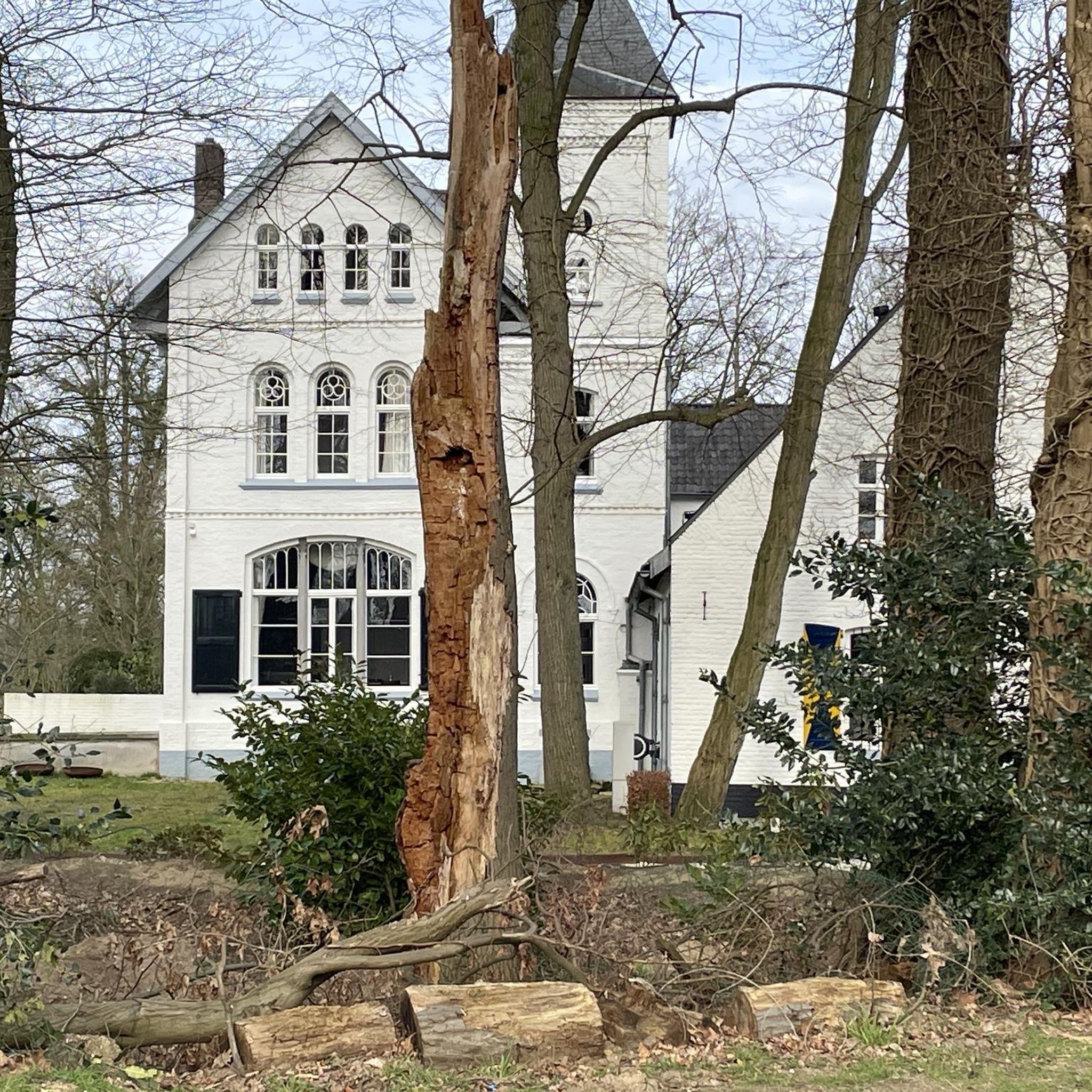
Tips from the Community

Meanwhile, the condition is good again and the chapel is also very picturesque from the inside. A nice place to linger.
0
0
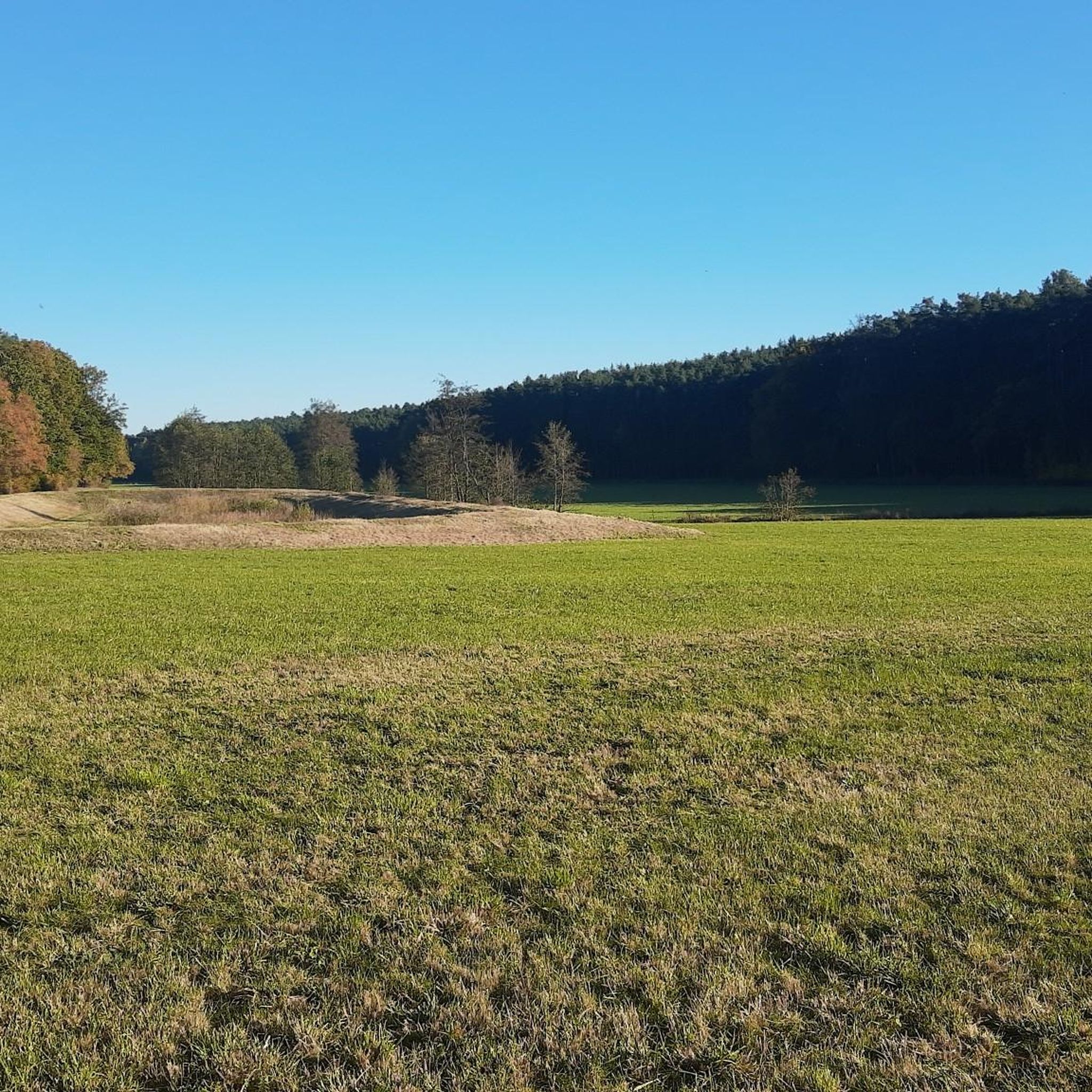
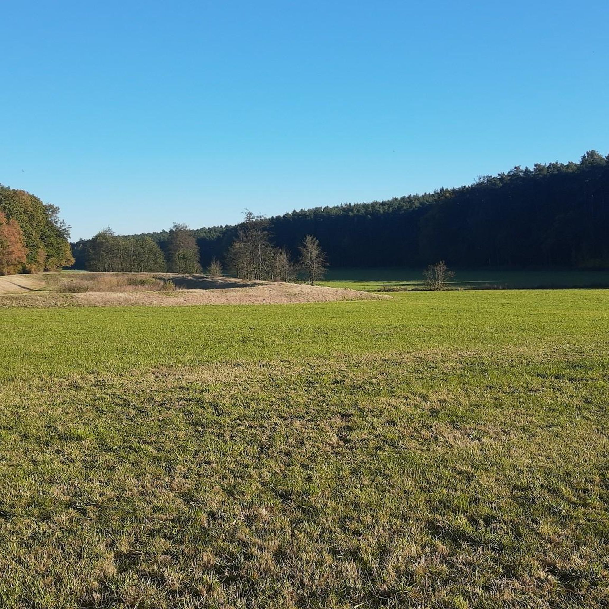
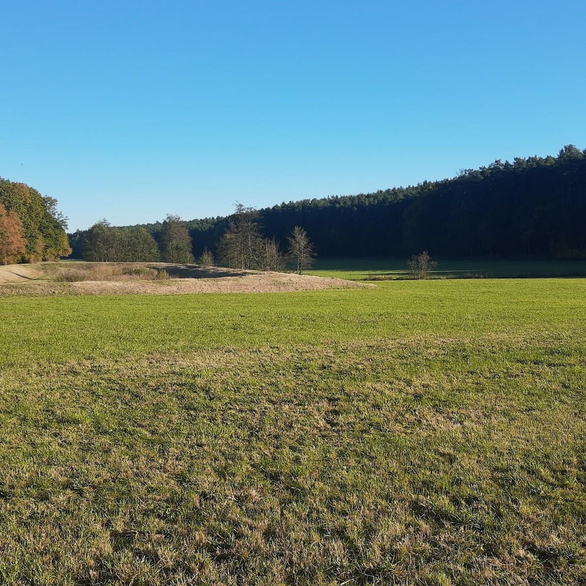
Here the path also leads into the beautiful Fembachtal.
0
0

There used to be a chapel built over the spring here.
0
0
Unfortunately only open to visitors on the 1st Sunday of the month.
0
0
There are hardly any rest areas with tables on Puschendorf's hiking trails, so they might be important for route planning. Otherwise, it's not a highlight.
0
0
It's just a forest path. What's supposed to be a highlight about it?
0
0
Erected by her family in memory of Mrs. Schneider, who died in the bombing of Nuremberg in May 1945, the gate and door are unlocked. Numerous statues adorn the small property.
0
0
Frequently Asked Questions
How many hiking trails are available around Puschendorf?
There are over 45 recorded hiking trails around Puschendorf, offering a variety of options for different preferences and fitness levels.
What kind of terrain can I expect on hikes around Puschendorf?
The region around Puschendorf, part of the Franconian countryside, features a mix of rolling hills, dense woodlands, and agricultural areas. Trails often follow river valleys, such as the Fembach Valley, with generally gentle elevation changes.
Are there easy hiking trails suitable for beginners or families in Puschendorf?
Yes, Puschendorf offers many easy trails. For example, the Eis Carlo – 900-Year-Old Oak Tree loop from Puschendorf is an easy 3.2 km route that takes about an hour to complete, perfect for a relaxed family outing.
Can I hike with my dog in Puschendorf?
Yes, many trails around Puschendorf are suitable for dogs. The natural environment of forests and open fields provides a great setting for walks with your canine companion. Always ensure your dog is under control and respect local wildlife and agricultural areas.
Are there any circular walks around Puschendorf?
Yes, many routes in Puschendorf are designed as circular walks. The Fembachtal – Signpost to Puschendorf loop from Puschendorf is an easy 5.1 km circular trail that offers scenic views of the Fembach Valley.
What are some notable landmarks or natural features to see on the trails?
You can discover several interesting spots. The Sandstone Quarry in Fürther Stadtwald is a natural monument nearby. Additionally, the Druidenstein — Lindenstein Memorial offers a historical natural feature to explore.
Where can I find historical sites along the hiking routes?
Several routes pass by historical points of interest. The St. Wolfgang Church – Rangau Forest Chapel loop from Puschendorf connects two significant historical sites, offering a blend of nature and heritage.
What do other hikers enjoy the most about hiking in Puschendorf?
The hiking trails around Puschendorf are highly rated by the komoot community, with an average score of 4.6 stars from over 40 reviews. Hikers often praise the well-maintained paths, the peaceful forest sections, and the diverse Franconian landscape.
What are the options for parking when hiking in Puschendorf?
Puschendorf, being a municipality, typically offers various public parking options within the village or at designated trailheads. Specific parking details can often be found on individual route pages on komoot or local signage.
How can I reach the hiking trails in Puschendorf using public transport?
Puschendorf is connected to the regional public transport network. You can often reach trail starting points by bus or local train services. It's advisable to check local transport schedules for the most up-to-date information on connections to Puschendorf.
What is the best time of year to go hiking in Puschendorf?
The Franconian region around Puschendorf is pleasant for hiking during spring, summer, and autumn. Spring brings blooming nature, summer offers warm days for longer excursions, and autumn provides beautiful foliage. Winter hikes are also possible, especially on cleared paths, but require appropriate gear.
Are there any cafes or pubs near the hiking trails in Puschendorf?
Yes, Puschendorf and its surrounding villages offer local cafes and pubs where you can stop for refreshments after your hike. These establishments often provide traditional Bavarian hospitality and local cuisine.
Are there any longer, more challenging hikes available in the area?
While many trails are easy to moderate, some routes offer a bit more distance and elevation. The Fembachtal Valley – MFC Grundig Model Airfield loop from Puschendorf is a moderate 8.5 km trail that provides a good workout and takes around 2 hours 15 minutes to complete.
Most popular routes around Puschendorf
Most popular attractions around Puschendorf

Get inspired with the komoot mobile app


Explore more
Browse the best Hikes in other regions.
