The best walks and hikes around Camigliano
4.1
(75)
259
hikers
26
hikes
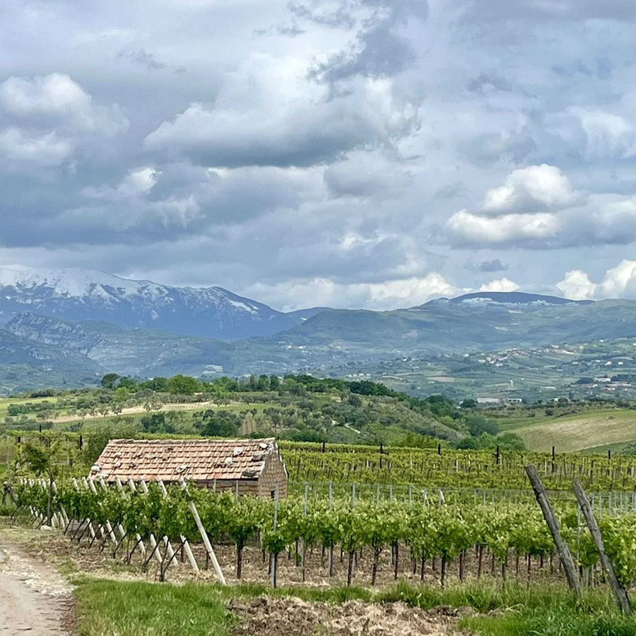
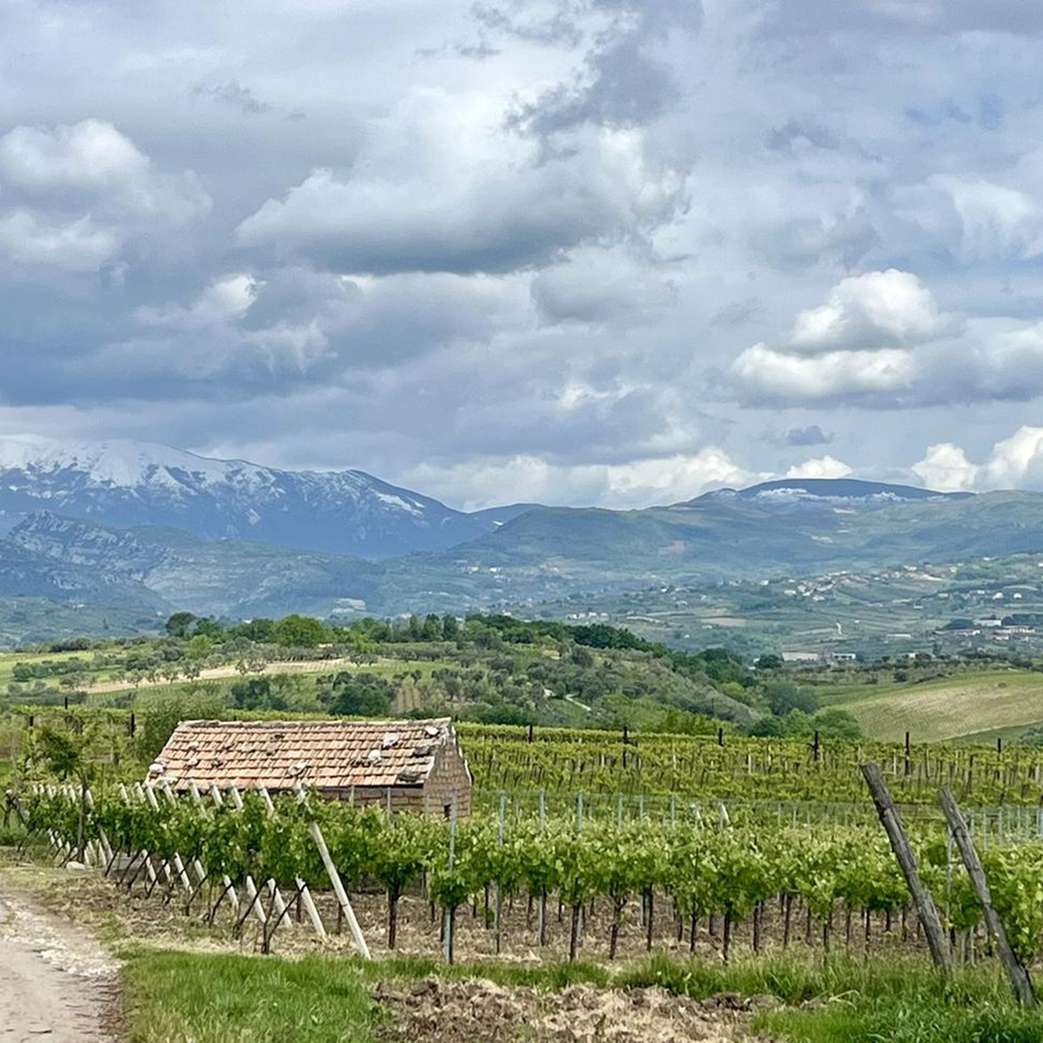
Hiking around Camigliano offers access to diverse landscapes characterized by rolling hills, natural oases, and Mediterranean scrubland. The region features areas like the Montemaiulo and Montebriano hills, providing varied terrain for outdoor activities. Hikers can explore protected natural areas rich in flora such as holm oaks and olive trees, alongside historical parklands. The elevation changes are generally moderate, making the area suitable for a range of hiking experiences.
Best hiking trails around Camigliano
- The most popular hiking route is Sant'Angelo…
Last updated: July 8, 2026
1
hikers
5.74km
02:06
360m
360m
Embark on the Sant'Angelo in Formis loop tour, a moderate hike spanning 3.6 miles (5.7 km) with an elevation gain of 1177 feet (359 metres). This route takes about 2…
2.0
(1)
2
hikers
11.9km
04:01
490m
490m
Hike the moderate 7.4-mile Via Micaelica Transit Trail through diverse Italian landscapes, with 1623 feet of elevation gain.

Sign up for free
7
hikers
9.18km
02:47
310m
310m
Hike the moderate 5.7-mile Fontana Lazzaro to Monte Friento Trail, gaining 1005 feet for panoramic views of the Volturno plain and Mount Ves
4.0
(6)
13
hikers
Moderate hike. Good fitness required. Easily-accessible paths. Suitable for all skill levels.
4.7
(3)
6
hikers
3.56km
01:53
310m
300m
Moderate hike. Good fitness required. Mostly accessible paths. Sure-footedness required.
Get access to more routes and recommendations from other explorers.
Sign up for free
Already have an account?
Our route recommendations are based on thousands of hikes, rides, and runs completed by other people on komoot.
Start today with a free account
Your next adventure awaits.
Login or Signup

Tips from the Community


path all in the shade with a cave and two excellent viewpoints. Mandatory trekking shoes and recommended poles. 4 km long but requires good mastery. To be considered as EE....
1
0

Mount Friento has breathtaking views of the Trebulani mountains and with its 770 meters it dominates the Volturno plain.
0
0

If I'm not mistaken it's in Campania, not in Calabria.
2
0

Mount Friento which with its 770 meters dominates the Volturno plain and offers excellent views of the Trebulani mountains.
1
0
One of the small fractions of the municipality of Rocchetta and Croce. You can get here with the famous Trombettiere climb.. you will hardly forget it.
1
0

This bivouac is managed by the CAI Caserta and is located in an area of community interest. There are various paths that can be traveled from here, from Monte Marmolelle to the Temple of Jupiter, and you can even go as far as Casertavecchia.
1
0
Here there is a beautiful panoramic point next to the Sanctuary of San Salvatore. The church of S. Salvatore is still today the destination of many pilgrims, and every 1st May the Holy Mass is celebrated.
2
0
Frequently Asked Questions
How many hiking trails are available around Camigliano?
There are over 15 hiking trails around Camigliano, offering a variety of experiences from easy walks to more challenging moderate routes. The komoot community has explored these routes over 200 times, providing an average rating of 4.1 stars.
Are there any circular walks in Camigliano?
Yes, several circular walks are available. A popular option is the Sant'Angelo in Formis – loop tour, which is 3.6 miles (5.7 km) long and takes about 2 hours to complete. Another is the Hiking loop from Rocchetta e Croce, a shorter 2.2 miles (3.5 km) route.
What kind of terrain can I expect on hikes around Camigliano?
Hiking around Camigliano features rolling hills, natural oases, and Mediterranean scrubland. You'll find varied terrain, including sections with moderate elevation gain, particularly in areas like the Montemaiulo and Montebriano hills. The region is known for its rich flora, including holm oaks and olive trees.
Are there any family-friendly hiking options in Camigliano?
While specific 'family-friendly' routes aren't explicitly categorized, the region offers diverse terrain. Many of the trails are moderate, but shorter sections or less strenuous paths within areas like the Vaccheria Panoramic Trail or the San Vito Trails could be suitable for families looking for easier walks.
What are some interesting places to explore near the hiking trails?
Near Camigliano, you can explore the Piazza della Vaccheria and the Church of Santa Maria delle Grazie. For nature lovers, the Oasi WWF Bosco di San Silvestro, located between the Montemaiulo and Montebriano hills, offers thematic trails to discover local flora and fauna. The majestic Royal Palace of Caserta, with its extensive park, is also about 15 km away and provides grand settings for long walks.
Are there any trails with significant viewpoints or panoramic views?
Yes, the region offers several spots with good views. The Vaccheria Panoramic Trail is specifically designed for scenic vistas. Additionally, routes that ascend hills like the Monte Tifata – Monte Sommacco Bivouac loop will provide elevated perspectives of the surrounding countryside.
What is the longest hiking trail available in Camigliano?
One of the longer trails is the Via Micaelica Transit Trail, which spans 7.4 miles (11.9 km) and typically takes around 4 hours to complete. This route traverses varied terrain with moderate elevation changes.
What do other hikers enjoy most about hiking in Camigliano?
The area is highly rated by the komoot community, with an average score of 4.1 stars from over 60 reviews. Reviewers often praise the diverse landscapes, from rolling hills to natural oases, and the opportunity to explore Mediterranean scrubland and historical parklands.
Are there any specific natural reserves or protected areas to hike through?
Yes, the Oasi WWF Bosco di San Silvestro is a significant natural oasis near Camigliano (Caserta). It spans 76 hectares and features rich flora, including Mediterranean scrub, holm oaks, olive trees, and various wild orchid species, along with diverse fauna. It offers dedicated trails for exploration and environmental education.
What is the difficulty level of most hikes in Camigliano?
Most of the hikes in Camigliano are classified as moderate. Out of the 18 available routes, 16 are moderate, with one easy and one difficult option. This makes the area suitable for hikers with some experience looking for engaging trails.
Can I find trails that lead to higher elevations or mountains?
Yes, routes like the Fontana Lazzaro to Monte Friento Trail and the Monte Tifata – Monte Sommacco Bivouac loop involve ascents into the hills and offer views from higher points, providing a more challenging experience with notable elevation gains.
Most popular attractions around Camigliano

Get inspired with the komoot mobile app


Explore more
Browse the best Hikes in other regions.
