The best walks and hikes around Quirla
4.7
(5277)
17,867
hikers
20
hikes
Hiking around Quirla offers access to diverse landscapes within Thuringia, characterized by gently rolling terrain, wooded areas, and paths alongside streams. The region features prominent natural areas such as the Zeitzgrund and Nossengrund Valleys, providing varied scenery for outdoor activities. Trails often follow water features and lead through forests, with elevations generally remaining moderate. The area's geography supports a network of paths suitable for different hiking preferences.
Best hiking trails around Quirla
- The most popular hiking route is Papiermühle Railway…
Last updated: August 20, 2026
4.6
(14)
39
hikers
5.13km
01:24
80m
80m
Easy hike. Great for any fitness level. Easily-accessible paths. Suitable for all skill levels.
4.2
(10)
26
hikers
10.5km
02:50
140m
140m
Moderate hike. Good fitness required. Easily-accessible paths. Suitable for all skill levels.

Sign up for free
5.0
(3)
12
hikers
8.09km
02:10
90m
90m
Moderate hike. Good fitness required. Easily-accessible paths. Suitable for all skill levels.
4.4
(7)
15
hikers
22.9km
06:14
330m
330m
Hard hike. Very good fitness required. Easily-accessible paths. Suitable for all skill levels.
4.8
(10)
26
hikers
4.49km
01:13
60m
60m
Easy hike. Great for any fitness level. Easily-accessible paths. Suitable for all skill levels.
Get access to more routes and recommendations from other explorers.
Sign up for free
Already have an account?
Our route recommendations are based on thousands of hikes, rides, and runs completed by other people on komoot.
Start today with a free account
Your next adventure awaits.
Login or Signup
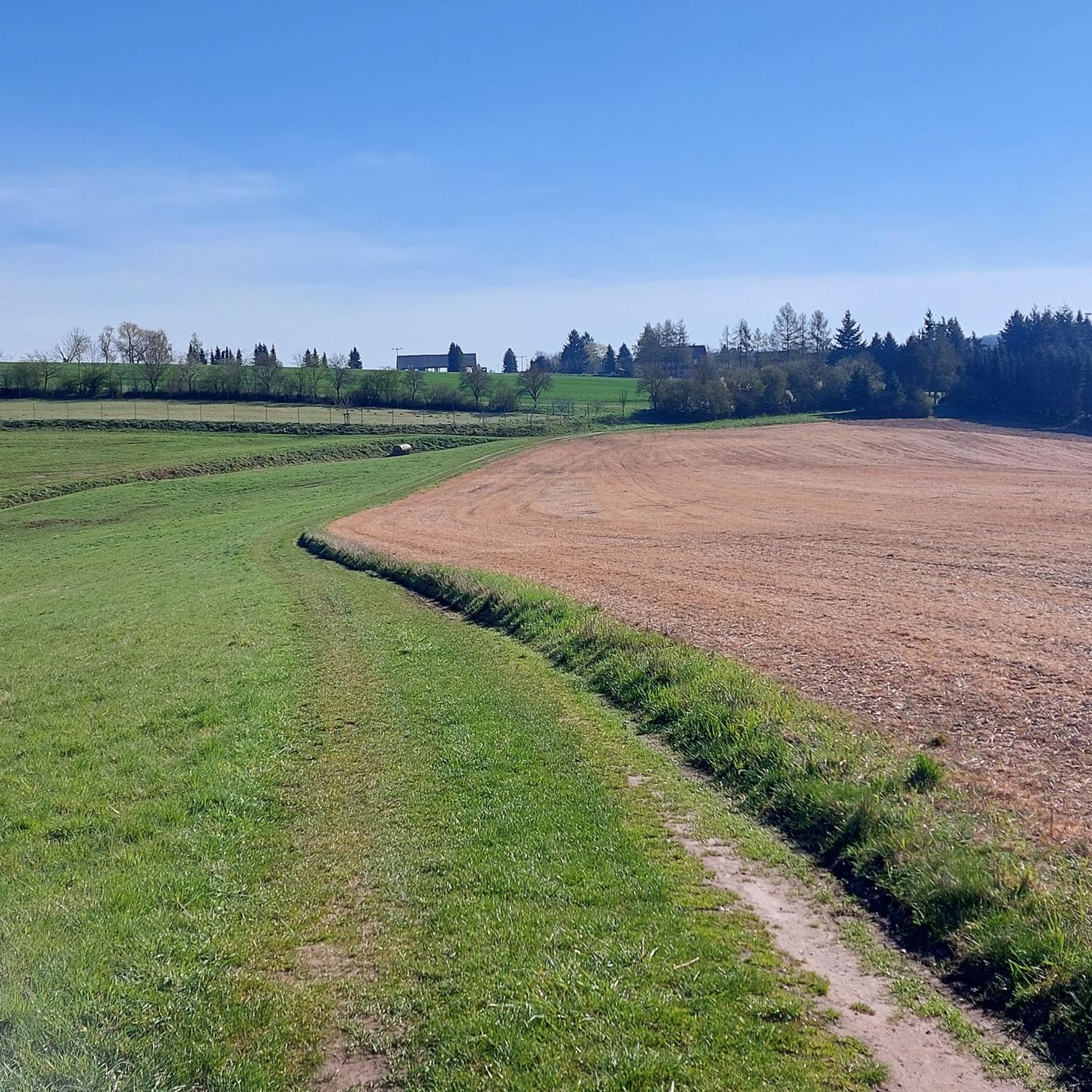
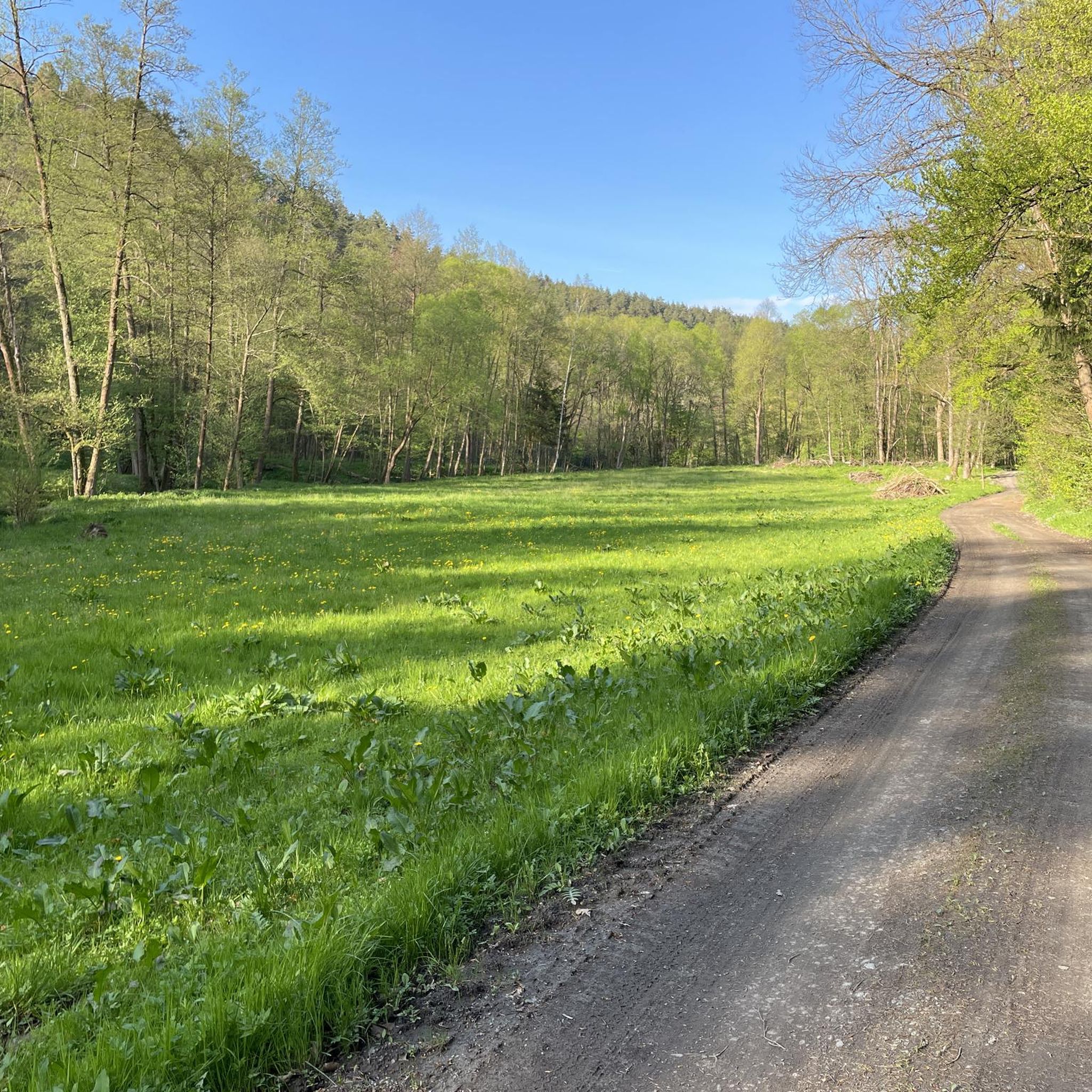
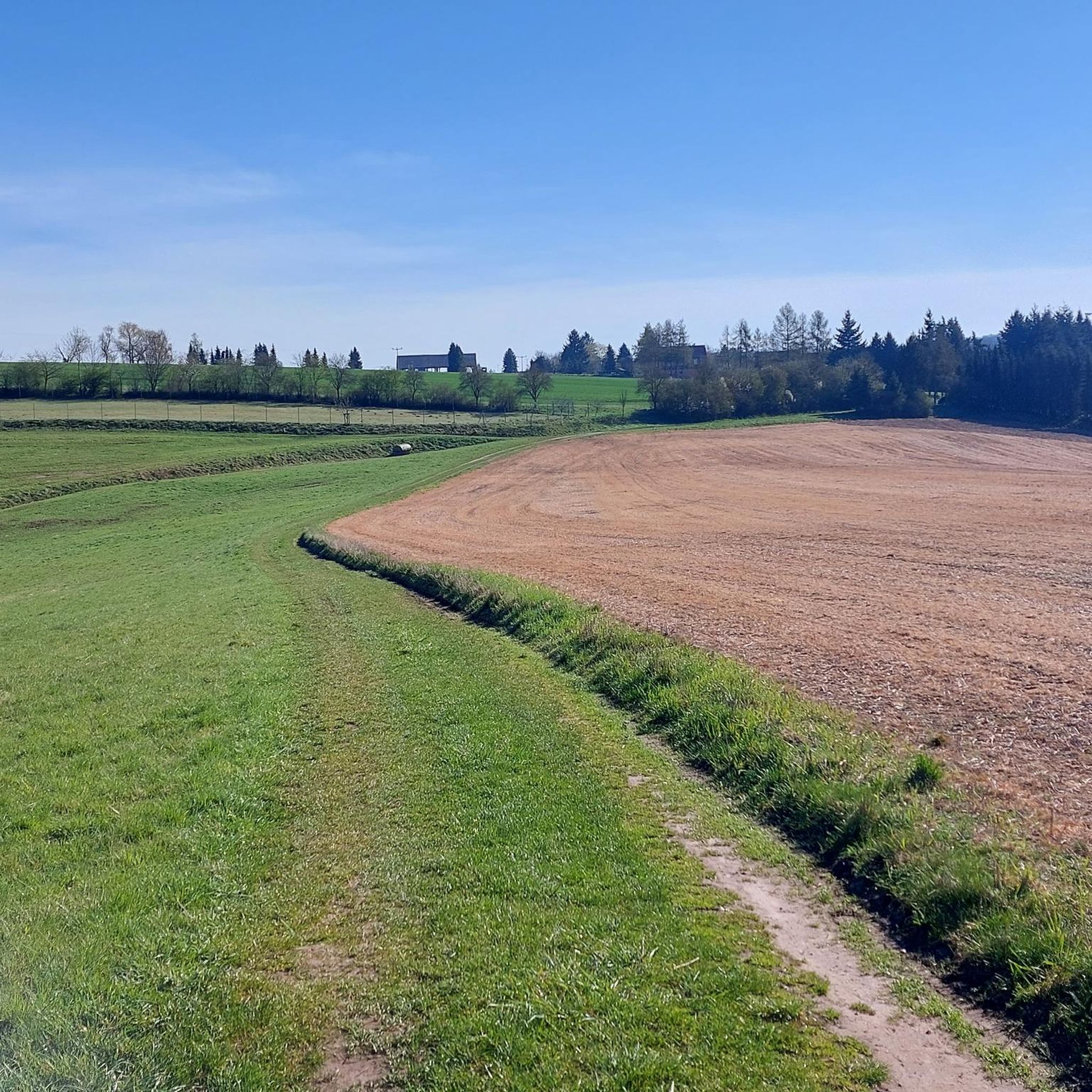
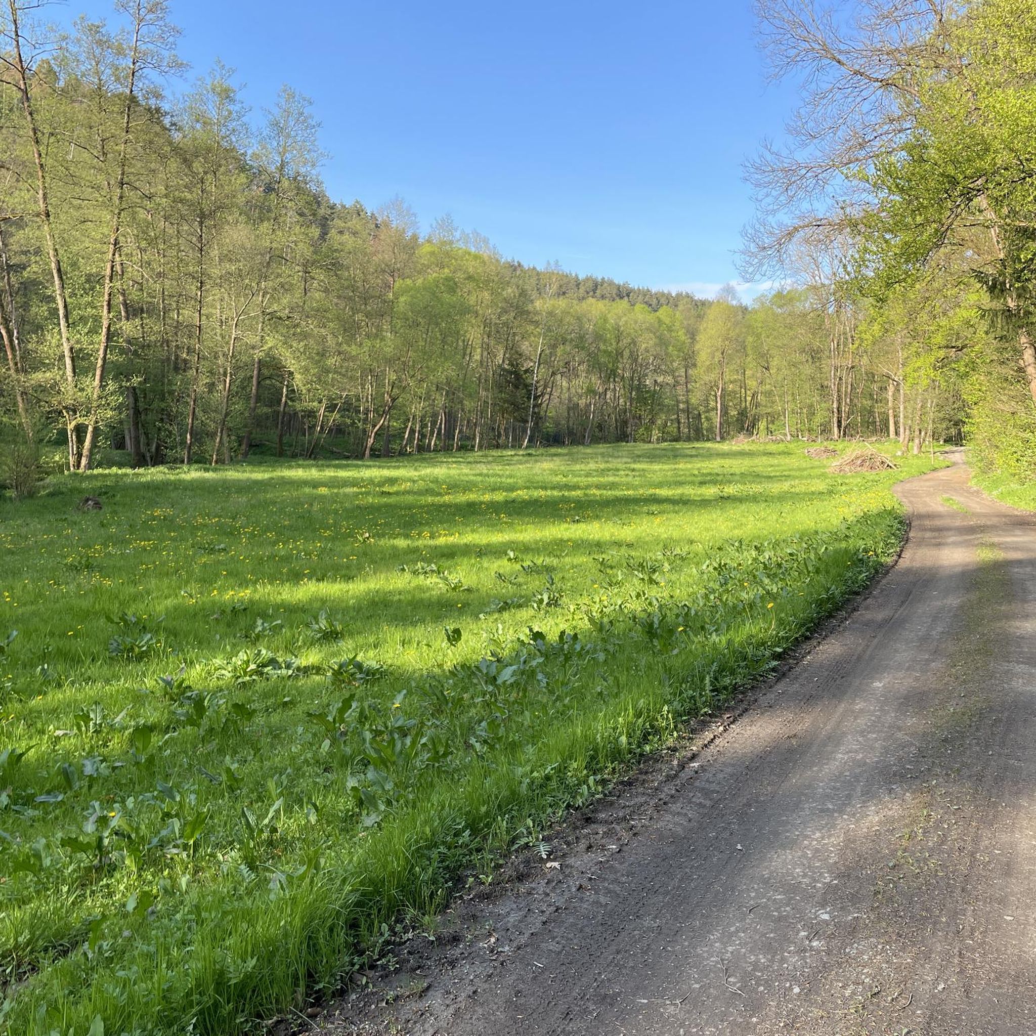
Tips from the Community

Coming from Hermsdorf, this is essentially the last mill in the Zeitzgrund region. Abandoned, dilapidated. It's probably been there since 1989 and is now a refuge for birds, bats, and other wildlife. Video surveillance. A warning is issued against entry.
1
0

The ten-kilometer-long Zeitz(g)rundweg (Circular Trail) is a circular hiking trail that connects various regional adventure and viewpoints, as well as the four mills of the unspoiled Zeitzgrund region between Hermsdorf and Stadtroda. With its pristine flora and fauna amidst the narrow valley, the Zeitzgrund appears a little wilder than the nearby Eisenberger Mühltal. Due to its many rare mosses, ferns, and pristine mixed forests of Douglas firs and beeches, the Zeitzgrund is a designated landscape conservation area. The mills of the Zeitzgrund region can be traced back to the 14th century and today warmly welcome guests as cozy restaurants, guesthouses, or riding stables. https://www.outdooractive.com/de/route/wanderung/saale-unstrut/zeitz-g-rundweg/18551239/
0
0

The pitch kiln is absolutely worth seeing and impressive. The adjacent information panel explains the process of producing pitch, tar, and charcoal.
25
0

A pitch kiln is a facility for producing wood tar and wood vinegar, which are produced by the carbonization of resinous wood.
26
0

Start of a beautiful leisurely hike
2
0
I don't know what people get out of destroying everything all the time. The hiking trail is generally fine again. I thought it was very nice and can only recommend it. It's also easy for older people to walk on.
2
0

A narrow and romantic path leads through the Nossengrund, past the Amselfall and into the Zeitzgrund.
0
0
Great hiking valley with many highlights and beautiful nature
0
0
Frequently Asked Questions
What kind of terrain can I expect on hiking trails around Quirla?
Hiking around Quirla features gently rolling terrain, wooded areas, and paths that often follow streams and valleys. You'll find diverse scenery, particularly in the Zeitzgrund and Nossengrund Valleys, with elevations generally remaining moderate. The broader Thuringian region, where Quirla is located, is known for its lush green environments and extensive natural landscapes.
Are there hiking trails suitable for families or beginners in Quirla?
Yes, Quirla offers a good selection of trails suitable for various fitness levels, including easy walks perfect for families or beginners. Out of over 20 routes available, 11 are classified as easy, making them accessible for a wide range of hikers. Many paths are described as easily-accessible, ensuring a pleasant experience for everyone.
Are there any circular hiking routes available near Quirla?
Yes, many of the trails around Quirla are designed as loops, offering convenient circular routes. For example, you could explore the Papiermühle Railway Station – Nossengrund Trail loop from Quirla, a moderate 10.6 km route through the Nossengrund Valley, or the Nossengrund Trail – Weihertal Mill loop from Quirla, an 8.1 km moderate path winding through wooded areas.
What are some notable natural features or landmarks I can see while hiking in Quirla?
While hiking around Quirla, you can discover several interesting natural features and landmarks. The trails often lead through the scenic Zeitzgrund and Nossengrund Valleys. You might encounter the Hubertus Spring, a natural monument, or enjoy views from points like View of the valley from Alter Gleisberg. There are also several peaks such as Ferdinandberg and Weißer Berg offering elevated perspectives.
What do other hikers say about the trails in Quirla?
The hiking routes in Quirla are highly regarded by the komoot community, holding an average score of 4.6 stars from over 1500 reviews. More than 6500 hikers have explored Quirla's varied terrain using komoot, often praising the diverse landscapes, well-maintained paths, and the peaceful atmosphere of the Zeitzgrund and Nossengrund Valleys.
Are there any longer or more challenging hikes around Quirla?
For those seeking a more challenging experience, Quirla does offer some longer routes. One notable difficult trail is the Zeitzgrund Stream – Historic Tar Kiln loop from Quirla, which spans 21.7 km and typically takes nearly 6 hours to complete. This route provides a more extensive exploration of the Zeitzgrund Stream area.
Can I find places to eat or rest along the hiking trails in Quirla?
Yes, you can find options for refreshments and rest. Along some routes, you might come across places like the Ziegenmühle Köhlersberg, which is a pub, or the Lobdeburg Inn, a restaurant. There are also shelters such as Kühn's Height Shelter and Tatenberg Shelter for a break.
What is the best time of year to go hiking in Quirla?
Quirla, located in Thuringia, offers pleasant hiking experiences across multiple seasons. The region's lush green environments suggest spring and summer are ideal for enjoying the full bloom and warmer weather. Autumn would also be beautiful with changing foliage. Winter hiking is possible, but conditions might vary, so checking local weather is always recommended.
How many hiking routes are available in total around Quirla?
There are over 20 distinct hiking routes available around Quirla. This includes a variety of options, with 11 easy, 8 moderate, and 2 difficult trails, ensuring there's something for every skill level and preference.
Are there any trails that pass by picnic areas or scenic viewpoints?
Yes, some trails are designed to include scenic spots. For instance, the Zeitzgrund Stream – Schau ins Land Picnic Area loop from Quirla is a moderate 7.7 km route that specifically passes by the Schau ins Land Picnic Area, offering a perfect spot for a break with views.
What are the typical distances and durations for hikes in Quirla?
Hikes in Quirla vary in length and duration. Easy routes can be shorter, while moderate trails typically range from 7 to 11 km, taking around 2 to 3 hours. More difficult routes, like the 21.7 km Zeitzgrund Stream – Historic Tar Kiln loop, can take nearly 6 hours to complete, offering options for both quick outings and longer excursions.
Most popular attractions around Quirla

Get inspired with the komoot mobile app


Explore more
Browse the best Hikes in other regions.
