The best walks and hikes around Raisting
4.6
(153)
848
hikers
68
hikes
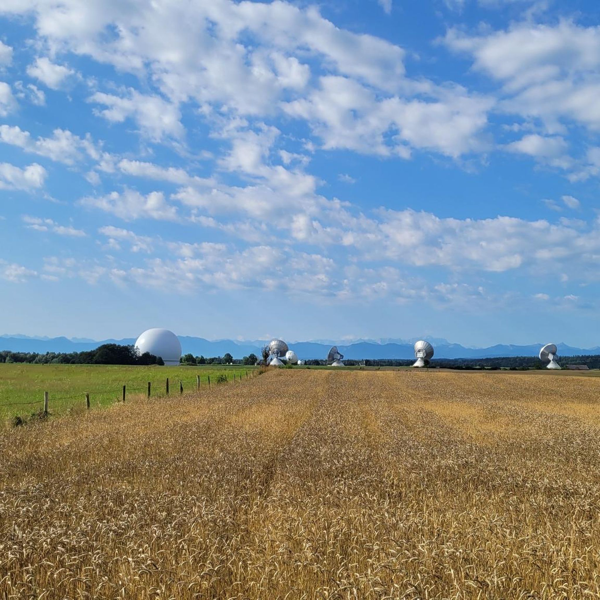
Hiking around Raisting offers diverse landscapes, including picturesque shores of Lake Ammersee and undulating hills. The region is characterized by idyllic forests, expansive fields of the Ammer Basin, and views towards the Upper Bavarian Alpine foothills. Notable features include the Raisting Radome and the nearby Königsdorf Forest with its beech stands.
Best hiking trails around Raisting
- The most popular hiking route is Raisting Earth Station – Radom Raisting loop from Raisting, an easy 3.4 miles (5.4 km) trail that takes 1 hour 22 minutes to complete. This route combines natural beauty with the impressive Radome industrial monument.
- Another top favourite among local hikers is Courtyard Beer Garden – St. Remigius Church, Raisting loop from Raisting, a moderate 5.9 miles (9.5 km) path. This trail leads through local landscapes, passing the St. Remigius Church.
- Local hikers also love the Sankt Mechtildis Chapel – Royal Bench With a View loop from Raisting, a 17.7 miles (28.5 km) trail leading through varied terrain with views, often completed in about 7 hours 41 minutes.
- Hiking around Raisting is defined by its lake views, rolling hills, and forest paths. The network offers options for different ability levels, from easy strolls to more challenging treks.
- The routes in Raisting are highly rated by the komoot community with an average score of 4.6 stars from over 100 reviews. More than 700 hikers have used komoot to explore Raisting's varied terrain.
Last updated: October 1, 2026
4.8
(44)
178
hikers
14.7km
03:56
160m
160m
Moderate hike. Good fitness required. Easily-accessible paths. Suitable for all skill levels.
4.5
(12)
80
hikers
5.39km
01:22
10m
10m
Easy hike. Great for any fitness level. Easily-accessible paths. Suitable for all skill levels.

4.8
(12)
41
hikers
23.2km
06:16
300m
300m
Hard hike. Very good fitness required. Easily-accessible paths. Suitable for all skill levels.
18
hikers
Easy hike. Great for any fitness level. Easily-accessible paths. Suitable for all skill levels.
5.0
(3)
19
hikers
Moderate hike. Good fitness required. Easily-accessible paths. Suitable for all skill levels.
Get access to more routes and recommendations from other explorers.
Already have an account?
Our route recommendations are based on thousands of hikes, rides, and runs completed by other people on komoot.
Start today with a free account
Your next adventure awaits.

Tips from the Community

The beautifully shaped linden tree is 25 meters high, the trunk has a circumference of about 14 meters, which is the third largest circumference of a linden tree in Bavaria.
1
0
Very beautiful view into the Bavarian Alps, Königsbänke are located in several places.
2
0
Very beautiful, traffic-calmed market square.
1
0

Beautiful forest nature trail with well-designed information boards and some carved animal sculptures.
2
0
The marketplace, not far from the lake promenade, was redesigned a few years ago in a very successful traffic-calming manner. Nice atmosphere and some restaurants with outdoor seating.
6
0
Since April 2016, the 2.30 m high sculpture Der Diez by artist Matthias Rodach has stood on a roughly 6 m high oak trunk on Untermüllerplatz at the end of Mühlstraße. It shows a fisherman proudly holding a golden carp. Beautiful sculpture in a very atmospheric place.
6
0

Beautiful place and just a trip to the mountains 👀
1
0

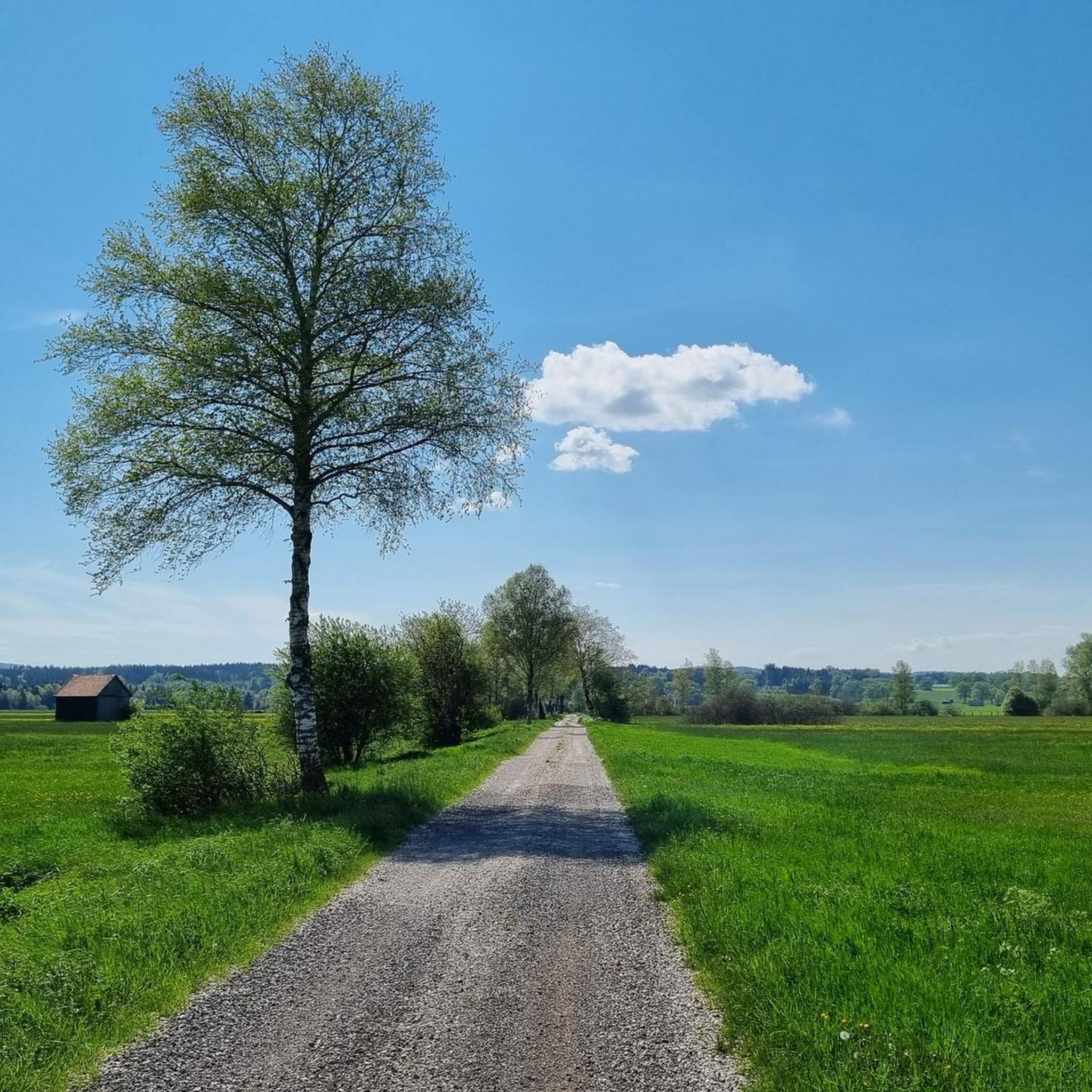
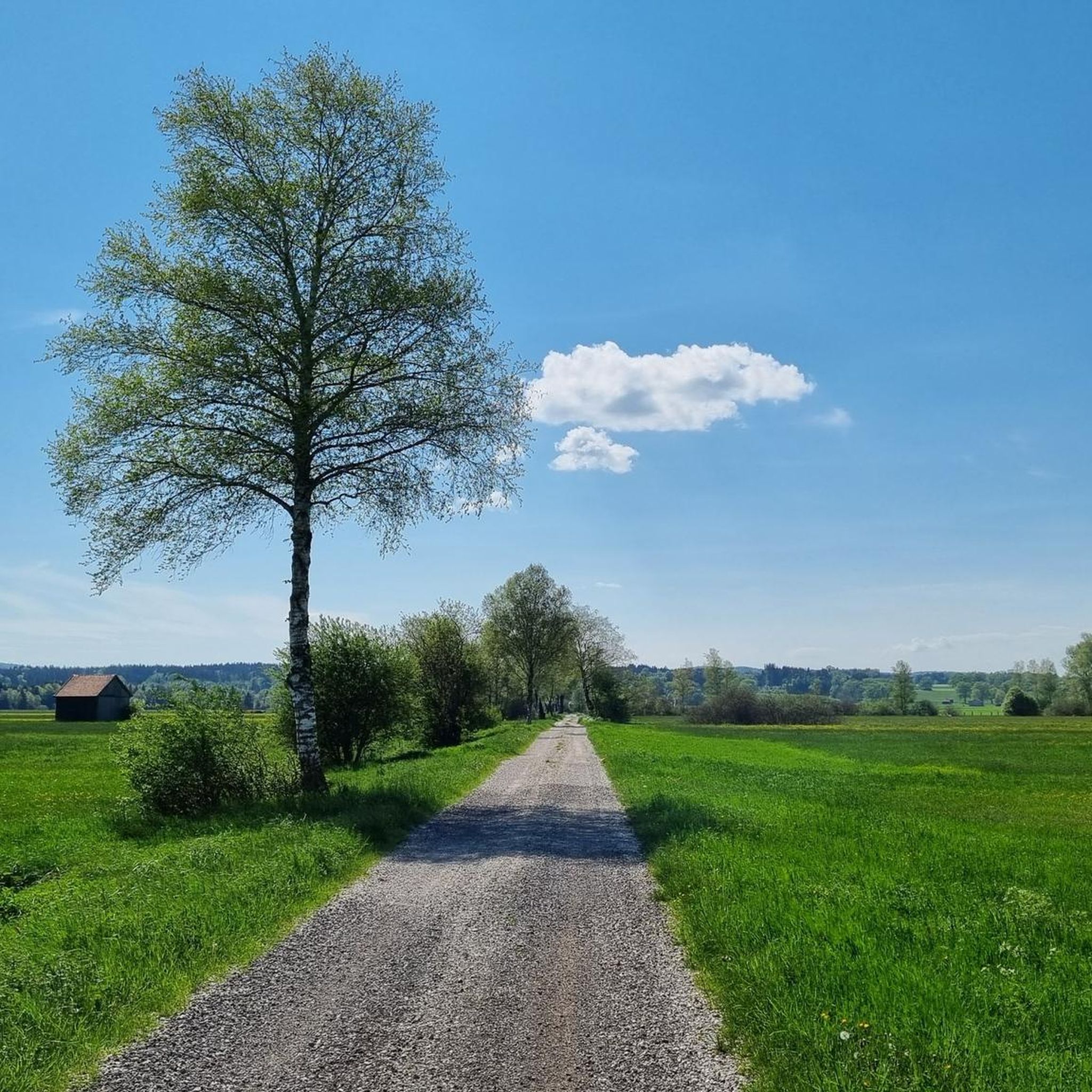
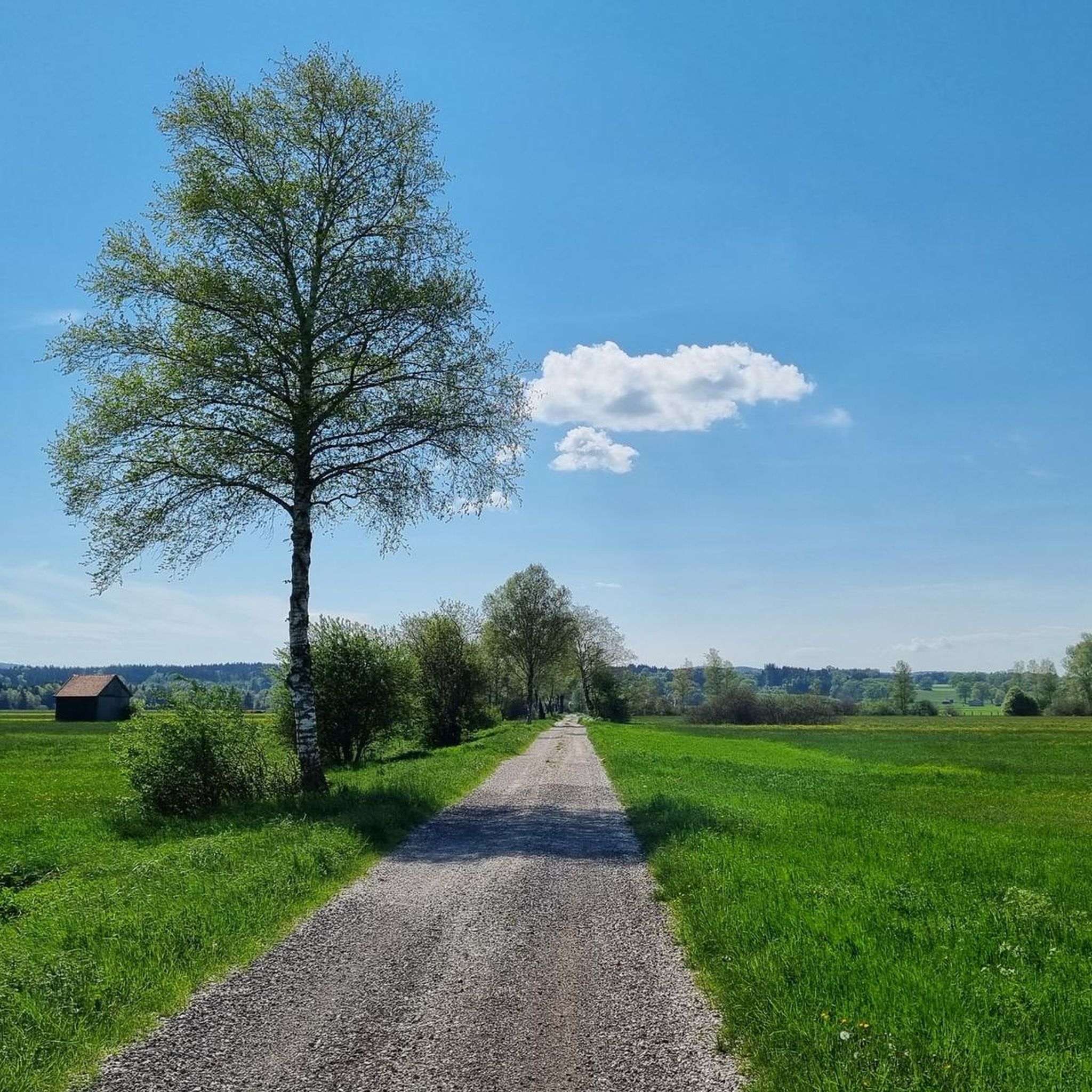
Here, the landscape opens up from the Hohen Peißenberg to the Ammer Basin – a place of transition where narrowness and vastness, earth and sky meet. At the rest area by the stream, the change in the landscape becomes palpable: behind us, the sheltering hills of the Hohen Peißenberg; before us, the expanse of the Ammer Basin. The path leads here from the shelter of the forests into open, welcoming spaces – a transition between inside and outside, between stillness and movement. On the opposite bank, Andechs Monastery comes into view. Nearby stand the antennas of the Raisting Earth Station – symbols of connection and exchange, of receiving and transmitting. The theme of "transition" reminds us that life itself consists of such thresholds: moments of letting go, of opening up, and of growing into the new.
0
0
Frequently Asked Questions
How many hiking trails are available around Raisting?
There are over 70 hiking routes around Raisting, catering to various preferences and fitness levels. This includes 49 easy trails, 20 moderate paths, and 1 more challenging trek.
What is the best time of year for hiking in Raisting?
Spring is particularly recommended for hiking in Raisting, as countless flowers bloom along the shores of Lake Ammersee, creating a vibrant landscape. Autumn also offers beautiful scenery with golden-hued leaves. The region's diverse terrain makes it enjoyable across multiple seasons.
Are there any family-friendly hiking options in Raisting?
Yes, Raisting offers several family-friendly hiking options. Trails along the shores of Lake Ammersee are particularly well-suited for families, providing stunning lake views and numerous rest areas. An easy option is the Raisting Earth Station – Radom Raisting loop from Raisting, which is 3.4 miles (5.4 km) long and takes about 1 hour 22 minutes.
What kind of landscapes can I expect to see while hiking in Raisting?
Hikers in Raisting will experience diverse landscapes, including the picturesque shores of Lake Ammersee, idyllic forests, and rolling hills. The region also features the expansive Ammer Basin with views of the Upper Bavarian Alpine foothills, and the Königsdorf Forest known for its impressive beech stands.
Are there any interesting landmarks or attractions along the hiking trails?
Yes, several trails feature notable landmarks. The Raisting Earth Station – Radom Raisting loop from Raisting combines nature with technology, passing the impressive Radom Raisting, an industrial monument. Other routes might lead you past the Mühlfeld Castle or offer views of the Rösselsberg Castle.
What do other hikers say about the trails in Raisting?
The hiking routes in Raisting are highly rated by the komoot community, with an average score of 4.6 stars from over 100 reviews. Hikers often praise the diverse terrain, from lake views to forest paths, and the well-maintained trails suitable for various ability levels.
Are there any circular hiking routes in Raisting?
Yes, Raisting offers several circular hiking routes. Examples include the Raisting Earth Station – Radom Raisting loop from Raisting, and the Courtyard Beer Garden – St. Remigius Church, Raisting loop from Raisting. These loops provide convenient starting and ending points in the same location.
Are dogs allowed on the hiking trails in Raisting?
Generally, dogs are welcome on hiking trails in Raisting. However, it's always advisable to keep them on a leash, especially in nature reserves, near livestock, or in areas with wildlife. Please be mindful of local regulations and other hikers.
Are there options for longer, more challenging hikes?
For those seeking a more challenging experience, Raisting offers routes like the Sankt Mechtildis Chapel – Royal Bench With a View loop from Raisting. This difficult trail spans 17.7 miles (28.5 km) and typically takes about 7 hours 41 minutes to complete, leading through varied terrain with expansive views.
Are there places to eat or drink along the hiking routes?
Yes, some routes incorporate opportunities for refreshments. For instance, the Zur Post Inn – Courtyard Beer Garden loop from Stillern suggests a stop at a traditional inn with a beer garden, allowing hikers to enjoy local hospitality.
What kind of wildlife can be spotted in the Raisting area?
The Königsdorf Forest, located near Raisting, is known for its rich diversity of animal species. While hiking through the forests and fields, you might spot various birds, small mammals, and insects. Observing wildlife is best done quietly and from a distance.
Is there parking available at the trailheads?
While specific parking details vary by trailhead, Raisting, as a community focused on outdoor activities, generally provides parking options near popular starting points for hiking trails. It's recommended to check local signage upon arrival for designated parking areas.
Most popular attractions around Raisting

Get inspired with the komoot mobile app


Explore more
Browse the best Hikes in other regions.
