The best road cycling routes around Ramlinsburg
4.7
(473)
9,750
riders
149
rides
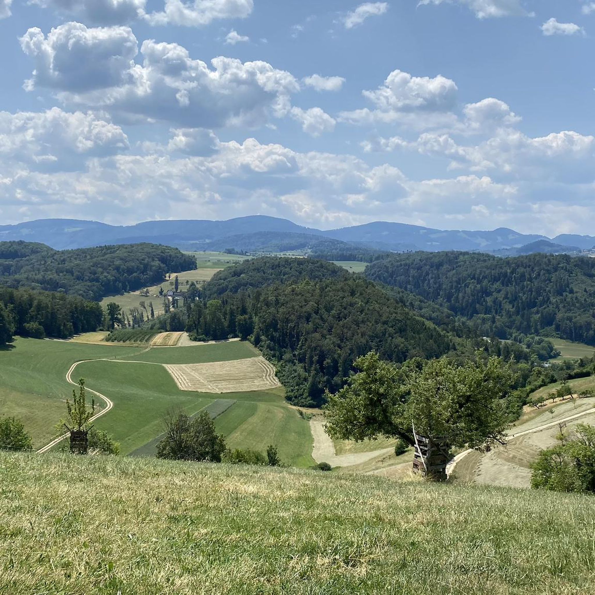
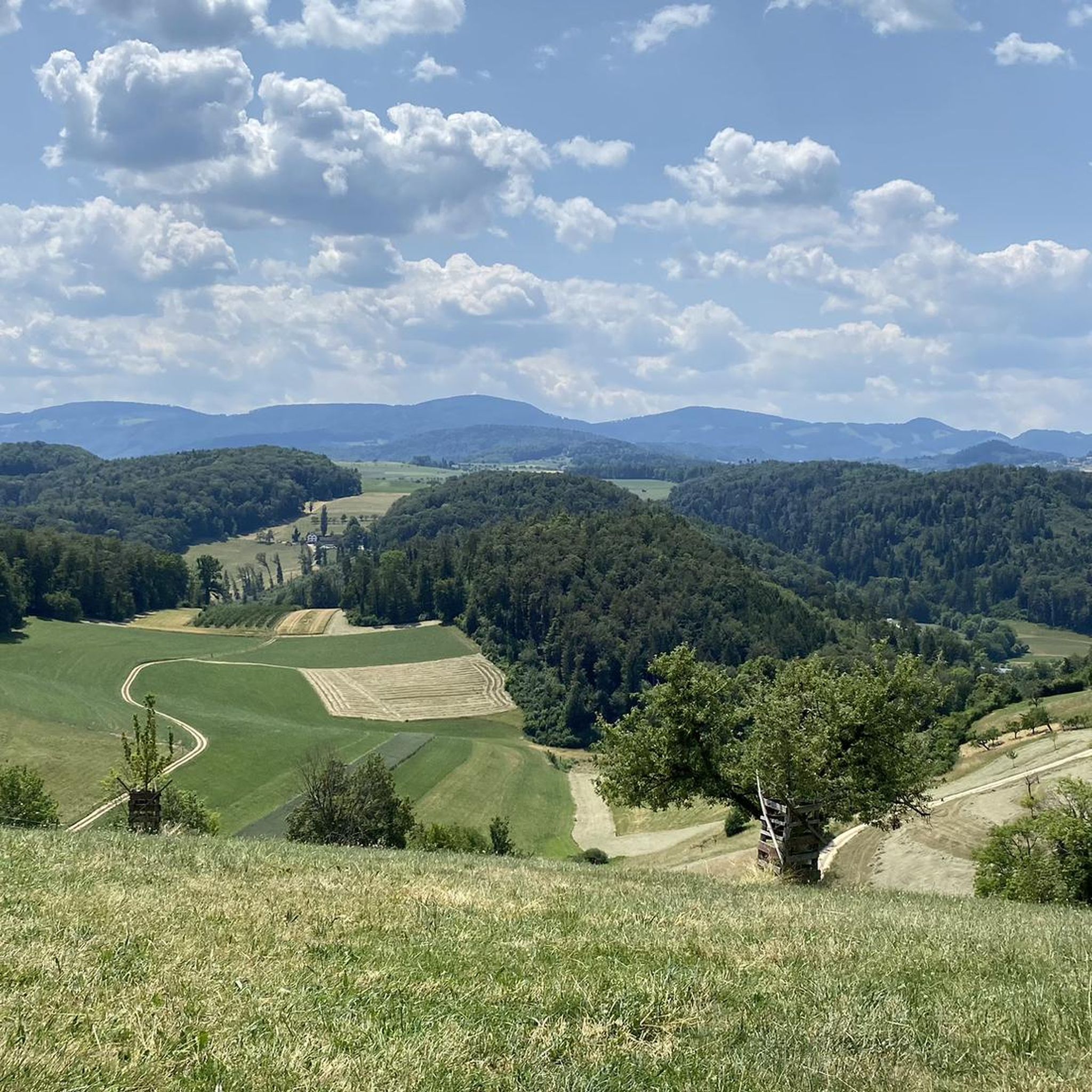
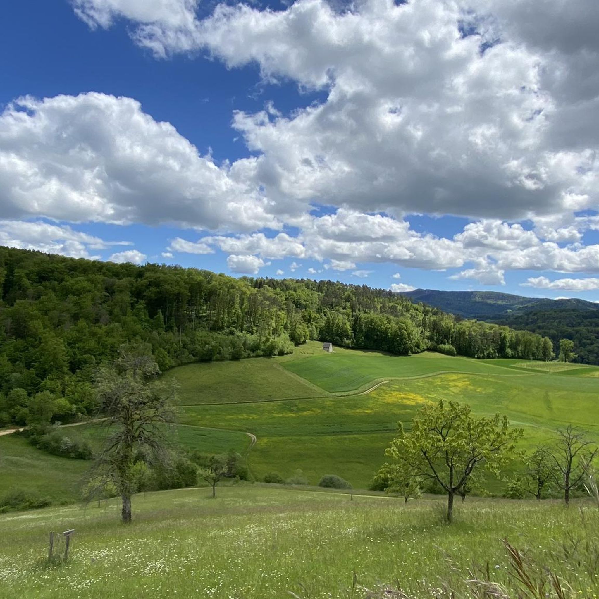
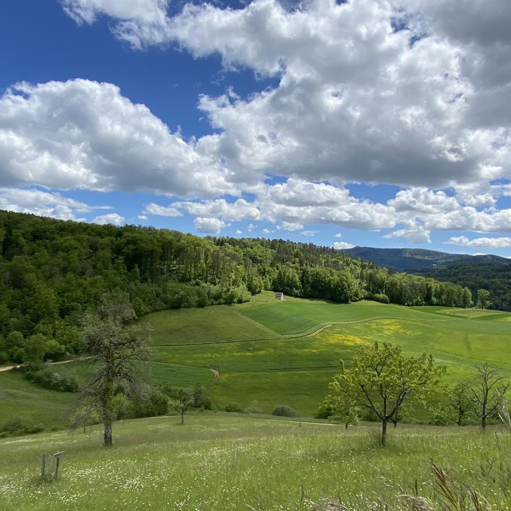
Road cycling routes around Ramlinsburg are characterized by a varied topography, offering a diverse landscape for cyclists. Situated in the Vorderen Frenke valley, the region features elevations ranging from 383 to 578 meters above sea level. Nearly 47% of Ramlinsburg's land is covered by forests, with over 40% dedicated to agriculture, creating a mosaic of green fields and tree-lined areas. This terrain provides a mix of rolling hills and ascents, making it suitable for different road cycling abilities.
Best road…
Last updated: September 30, 2026
4.6
(36)
609
riders
55.2km
02:21
410m
410m
Moderate road ride. Good fitness required. Mostly well-paved surfaces and easy to ride.
5.0
(5)
92
riders
53.3km
03:07
1,240m
1,240m
Hard road ride. Very good fitness required. Mostly well-paved surfaces and easy to ride.

4.8
(5)
107
riders
43.9km
02:30
970m
970m
Hard road ride. Very good fitness required. Mostly well-paved surfaces and easy to ride.
4.5
(2)
73
riders
74.8km
03:30
790m
790m
Moderate road ride. Good fitness required. Mostly well-paved surfaces and easy to ride.
5.0
(4)
62
riders
25.9km
01:31
410m
410m
Moderate road ride. Good fitness required. Mostly well-paved surfaces and easy to ride.
Get access to more routes and recommendations from other explorers.
Already have an account?
Our route recommendations are based on thousands of hikes, rides, and runs completed by other people on komoot.
Start today with a free account
Your next adventure awaits.
Tips from the Community

The water tower is one of the city's landmarks. The 35-meter-high tower was built between 1898 and 1899 and was in operation until 1971. In the 1980s, the tower was renovated and has been used by the Fools' Museum since 1993.
0
0

Quiet mountain road with excellent surface. Some commuters during rush hour.
0
0

The "Obere Tor" (also called Törli) is the landmark of Liestal and the rest of the medieval city fortification. The substructure was built in the first half of the 13th century, the subsequently added barbican had to make way in 1879 for traffic reasons. The tower has probably been painted since 1498/99, the current paintings are by local painter Otto Plattner from the years 1949/50 and show on the inside the Rütli oath and St. George the dragon slayer, on the outside Chronos and a warrior with a Swiss banner.
0
0
Liestal is a municipality with a rich and eventful past, dating back to Roman and pre-Roman times. The town was often under the influence of Basel. The town's landmark is the Obere Tor (Törli), a remnant of the medieval fortification. Liestal offers a rich cultural scene.
0
0

Feldschlösschen is the largest brewery in Switzerland and is considered a landmark of Rheinfelden. It was founded in 1876 by Theophil Roniger and Mathias Wüthrich. The striking, castle-like brewery building has developed over time into one of Switzerland's most famous industrial monuments. Today, Feldschlösschen combines traditional brewing art with modern production and belongs to the Carlsberg Group. The «Feldschlösschen Brauwelt» is particularly popular, where visitors can learn more about the history of beer brewing and take part in guided tours with tastings. The visitor centre is open Tuesdays to Thursdays from 10 am to 5 pm, Fridays and Saturdays from 10 am to 7 pm, and on Sundays and public holidays from 10 am to 5 pm. Public guided tours take place several times a week; a tour including a beer tasting costs around CHF 20 per person. For spontaneous visits to the interactive exhibition, admission is CHF 15 including tasting.
0
0

There are better places to admire the Birs: It's always quite busy and there's heavy traffic here. Therefore, I recommend: Take a look as you drive by and move on.
0
0

In the evening, you may be blinded by the low sun as you cruise downstream along the Rhine.
0
0

Historic Old Town Gate with drawings by Otto Plattner
0
0
Frequently Asked Questions
How many road cycling routes are available around Ramlinsburg?
There are over 150 road cycling routes around Ramlinsburg, offering a wide variety of options for different skill levels and preferences. These routes are highly rated by the komoot community, with an average score of 4.7 stars.
What is the terrain like for road cycling in Ramlinsburg?
Ramlinsburg's terrain is characterized by a varied topography, featuring rolling hills, dense woodlands, and agricultural fields. Elevations range from 383 to 578 meters above sea level, providing a mix of ascents and descents suitable for both challenging climbs and more relaxed rides.
Are there challenging road cycling routes in the Ramlinsburg area?
Yes, Ramlinsburg offers challenging routes with significant ascents. For instance, the Breitenhöchi Pass – Passwang Tunnel loop from Talhaus is a difficult 53.3 km path with over 1200 meters of elevation gain. Another challenging option is the Climb to Seewen – Gempenstrasse loop from Talhaus, which features nearly 1000 meters of climbing over 43.9 km.
Are there any beginner-friendly road cycling routes?
While many routes involve rolling hills, there are easier options available. Approximately 37 routes are classified as easy, offering a gentler introduction to road cycling in the region. These typically feature less elevation gain and shorter distances, allowing for a more relaxed experience.
What kind of scenic viewpoints can I expect on a road cycling tour?
The hilly terrain around Ramlinsburg provides breathtaking views of the surrounding valleys and picturesque landscapes. Notable viewpoints include the local Aussichtspunkt Rüti. Further afield, the Gempenturm Observation Tower offers panoramic vistas of the wider region.
What historical landmarks can I see along the routes?
The area around Ramlinsburg is rich in historical sites. You can explore several castles and their ruins. For example, the historic Wildenstein Castle is a prominent attraction. Other nearby castle ruins include Homburg Castle Ruins and Farnsburg Castle Ruins, adding a historical dimension to your ride.
Are there any loop road bike trails in Ramlinsburg?
Yes, many of the road cycling routes around Ramlinsburg are designed as loops, allowing you to start and end at the same point. An example is the Rheinfelden Old Town – Feldschlösschen Brewery loop from Talhaus, a 56.3 km route that takes you through historic areas and scenic landscapes.
What is the best season for road biking in Ramlinsburg?
The region is generally pleasant for road cycling from spring through autumn. The mild weather during these seasons makes for comfortable riding conditions, allowing you to fully enjoy the green fields, orchards, and forests. Winter cycling might be possible, but conditions can be more challenging due to colder temperatures and potential snow or ice.
Are there places to stop for refreshments or food along the routes?
Yes, the region offers various opportunities for refreshment stops. You'll find several mountain inns and huts in the vicinity, such as the Ober-Bölchen Mountain Inn or the Waldweid Mountain Inn, which can be integrated into your cycling tours for a break and a meal.
What do other cyclists say about road biking in Ramlinsburg?
The road cycling routes around Ramlinsburg are highly regarded by the komoot community, with an average rating of 4.7 stars from over 400 reviews. Cyclists often praise the varied terrain, the quiet natural setting, and the beautiful views of the surrounding valleys and agricultural landscapes.
Can I find routes that pass through historic towns?
Absolutely. Many routes connect Ramlinsburg with nearby historic towns. For example, the Bad Säckingen Wooden Bridge – Rheinfelden Old Town loop from Talhaus is a 74.7 km route that leads through charming historic towns and along river sections, offering a cultural and scenic experience.
What are the typical distances and elevations for road cycling routes here?
Routes vary significantly in distance and elevation. You can find shorter rides like the Liestal City Gate (Törli) – Liestal–Bubendorf Cycle Route loop from Talhaus, which is 26.3 km with around 428 meters of elevation gain. Longer and more challenging options, such as the Bad Säckingen Wooden Bridge – Rheinfelden Old Town loop from Talhaus, can span over 74 km with nearly 800 meters of climbing.
Most popular routes around Ramlinsburg
Most popular attractions around Ramlinsburg

Get inspired with the komoot mobile app


Explore more
Browse the best Road cycling routes in other regions.
