The best walks and hikes around Ranis
4.6
(6603)
21,364
hikers
42
hikes
Hiking around Ranis, located in Germany's Saale-Orla district, offers diverse terrain at the edge of the Thuringian Forest. The region is characterized by rolling hills, dense woodlands, and the distinctive geological formations of the Thuringian Slate Mountains and Zechstein reefs. Trails often provide views over the Orla valley and lead through areas featuring meandering streams and historical landmarks.
Best hiking trails around Ranis
- The most popular hiking route is Zechsteinriff geological trail with the Pinsenberg, a 4.8 miles (7.7…
Last updated: September 29, 2026
4.8
(52)
164
hikers
7.70km
02:11
170m
180m
Moderate hike. Good fitness required. Easily-accessible paths. Suitable for all skill levels.
4.7
(40)
113
hikers
13.7km
03:53
280m
280m
Moderate hike. Good fitness required. Mostly accessible paths. Sure-footedness required.

4.8
(19)
69
hikers
9.03km
02:32
180m
180m
Moderate hike. Good fitness required. Easily-accessible paths. Suitable for all skill levels.
5.0
(7)
27
hikers
7.39km
02:02
120m
120m
Moderate hike. Good fitness required. Easily-accessible paths. Suitable for all skill levels.
4.8
(10)
20
hikers
8.04km
02:15
150m
150m
Moderate hike. Good fitness required. Easily-accessible paths. Suitable for all skill levels.
Get access to more routes and recommendations from other explorers.
Already have an account?
Our route recommendations are based on thousands of hikes, rides, and runs completed by other people on komoot.
Start today with a free account
Your next adventure awaits.
Other adventures around Ranis

Tips from the Community

The bison enclosure is open all year round and free of charge.
3
0

It is one of the most varied hiking trails we have ever walked 👍 Nature, animals, culture and simply beautiful.
1
0


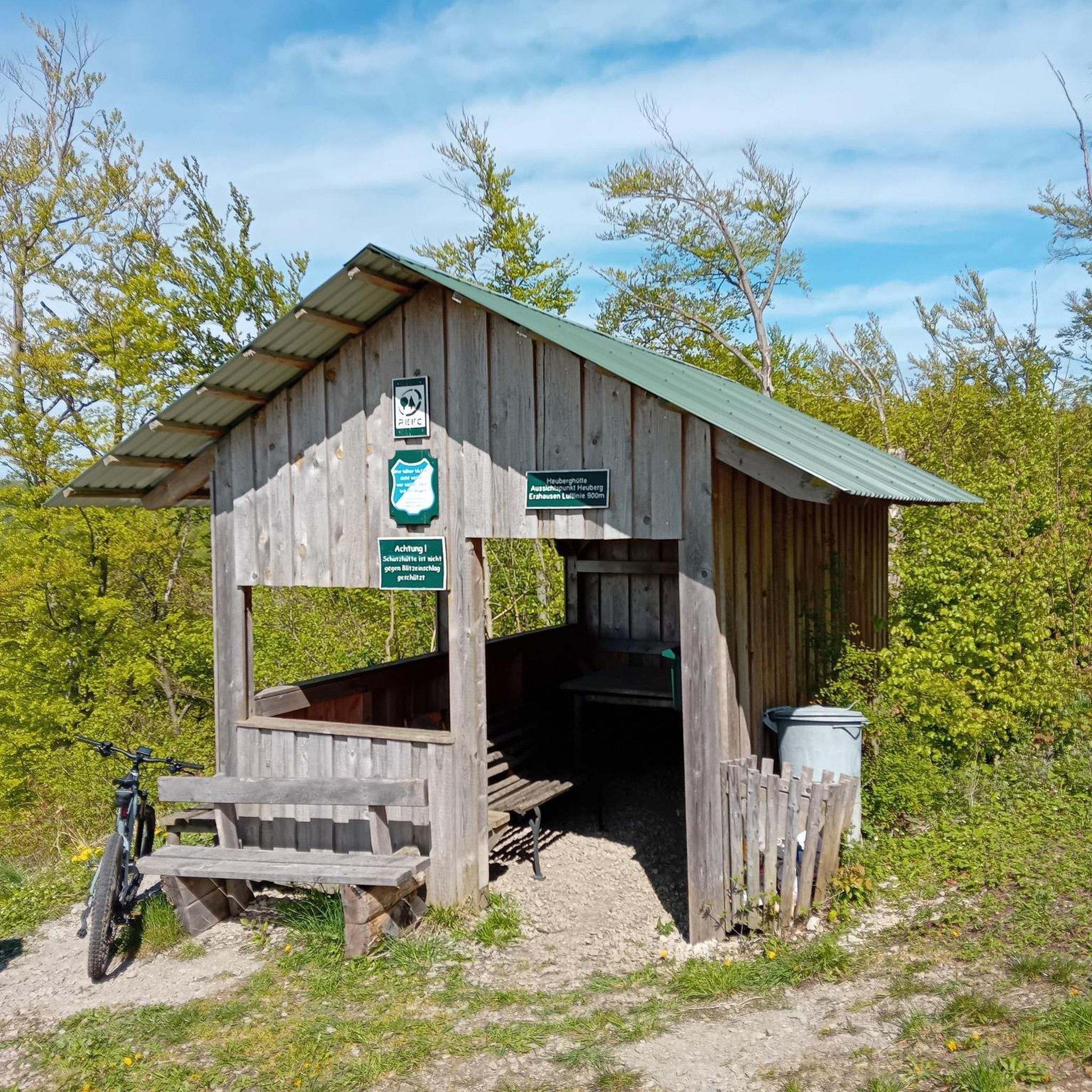
Rest area with a wonderful view 🤩.
26
0
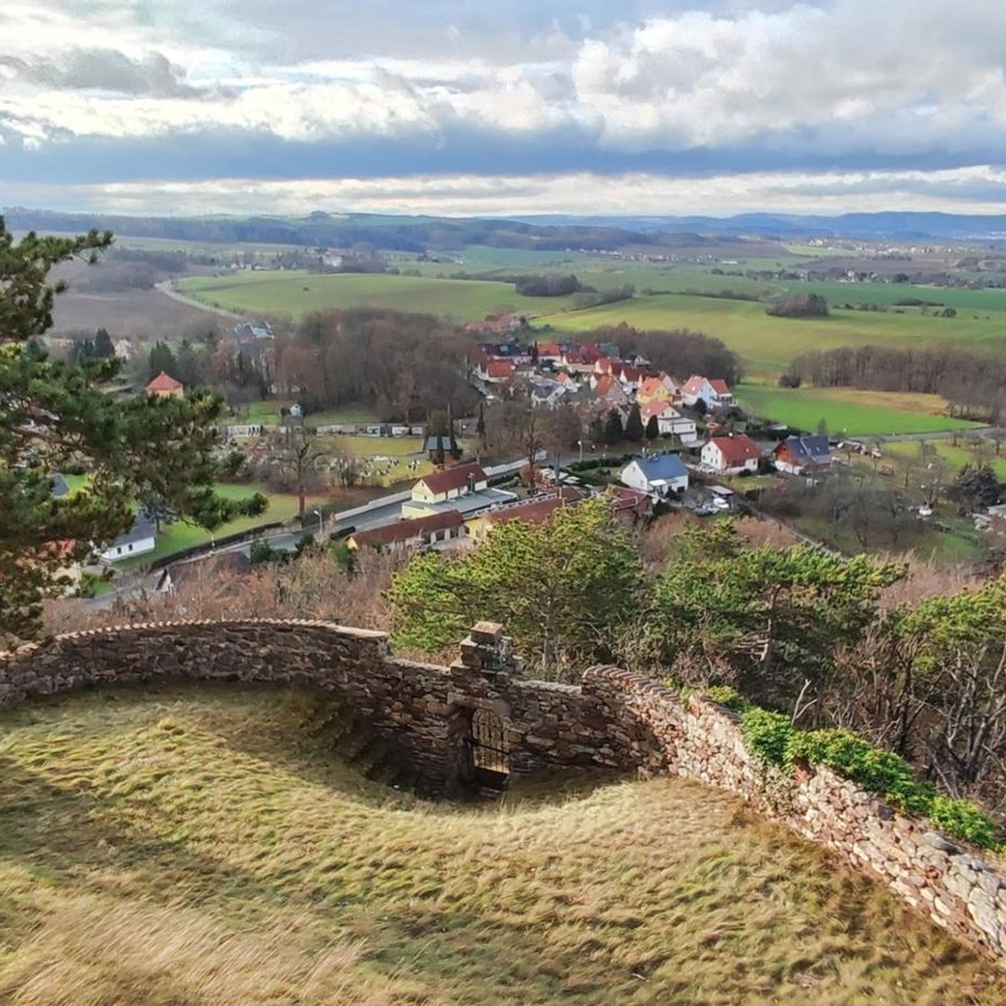
Brandenstein Castle, also known as Brandenstein Castle, stands on a Zechstein reef in the Brandenstein district of the town of Ranis in the Saale-Orla district in Thuringia 🏰.
27
0
Very interesting cave in which Stone Age people may have once lived.
21
0
From the bridge you have a good and safe view of the meadow duck 🦬.
21
0
Frequently Asked Questions
How many hiking trails are available around Ranis?
There are over 40 hiking trails around Ranis, offering a variety of experiences from easy strolls to more challenging ascents. The komoot community has rated these routes highly, with an average score of 4.7 stars.
What kind of terrain can I expect on hikes around Ranis?
Hikes around Ranis feature diverse terrain, including rolling hills, dense forests, and unique geological formations like the Zechstein reefs. You'll find paths winding through the Thuringian Slate Mountains, offering views over the Orla valley and along meandering streams.
Are there any family-friendly hiking options in Ranis?
Yes, Ranis offers several family-friendly trails. The region research mentions paths like the "Zwergenpfad" (Dwarf Path) designed for playful exploration. Many of the easier routes, such as those with shorter distances and less elevation gain, are also suitable for families.
Are there any circular hiking routes near Ranis?
Yes, many routes around Ranis are circular. For example, the Bildermollen Cave – Wisent Bridge loop from Ranis is a moderate 13.6 km path, and the Wisent Bridge – Ranis Wisent Enclosure loop from Ranis is a 9 km trail. The Raniser Raubrittersteig is also a well-known circular route in the area.
What are some notable landmarks or natural features to see while hiking in Ranis?
Hikers can explore several significant landmarks and natural features. The thousand-year-old Ranis Castle offers panoramic views, and beneath it lies the Ilsenhöhle cave. You can also discover the distinctive Zechstein reefs, particularly along the Zechsteinriff geological trail with the Pinsenberg. The Hohenwartestausee, often called the "Thuringian Sea," provides stunning fjord-like views.
What is the best time of year to go hiking in Ranis?
The best seasons for hiking in Ranis are spring and autumn. During these times, the weather is mild, and you can enjoy wildflowers in bloom or the vibrant golden hues of autumn foliage. While winter hiking is possible, conditions can vary, so checking local forecasts is advisable.
Are there any dog-friendly hiking trails around Ranis?
Many trails in the Ranis region are suitable for dogs, especially those through forests and open countryside. It's always recommended to keep dogs on a leash, particularly near wildlife enclosures like the Wisent Enclosure, which you can pass on routes such as the Ranis Wisent Enclosure – Ranis Castle loop from Wernburg.
Are there any easy hiking trails for beginners or those looking for a relaxed walk?
Yes, Ranis offers 24 easy hiking routes. These trails typically have less elevation gain and shorter distances, making them ideal for beginners or those seeking a more relaxed experience. Many paths through the Orla valley or around the smaller villages provide gentle walks.
What are the typical distances and durations for hikes in Ranis?
Hikes in Ranis vary in distance and duration. You can find shorter routes like the Zechsteinriff geological trail with the Pinsenberg, which is about 7.7 km and takes around 2 hours. Longer, moderate trails, such as the Bildermollen Cave – Wisent Bridge loop from Ranis, can be up to 13.6 km and take over 3 hours.
What do other hikers enjoy most about hiking in Ranis?
The area is highly rated by the komoot community, with an average score of 4.7 stars from over 200 reviews. Reviewers often praise the diverse landscape, the well-maintained paths, and the combination of natural beauty with historical sights like Ranis Castle and the unique Zechstein reefs.
Are there opportunities to see wildlife while hiking in Ranis?
Yes, the diverse natural environment of Ranis, including dense forests and the Thuringian Slate Mountains/Upper Saale Nature Park, provides opportunities to observe wildlife. Routes like the Wisent Bridge – Ranis Wisent Enclosure loop from Ranis pass by the Ranis Wisent Enclosure, where you can see European bison.
Can I find viewpoints with panoramic vistas on the trails?
Absolutely. Many trails around Ranis offer breathtaking vistas. Ranis Castle itself provides impressive panoramic views over the Orla valley. The Panorama Trail, a 12-kilometer route, is specifically designed to showcase stunning views of the surrounding countryside and historical sights.
Most popular attractions around Ranis

Get inspired with the komoot mobile app


Explore more
Browse the best Hikes in other regions.
