The best cycling routes around Fresagrandinaria
4.5
(85)
515
riders
37
rides
Touring cycling routes around Fresagrandinaria traverse a landscape characterized by coastal plains and gentle inland hills within Italy's Abruzzo region. The area offers diverse terrain, from quiet, well-maintained roads to routes winding through agricultural areas and along the Adriatic coast. Cyclists can experience moderate elevation changes, with views of the Majella Massif and Gran Sasso Massif in the distance. The village itself, a medieval settlement at about 390 meters altitude, provides a base for exploring both local hills and coastal…
Last updated: October 21, 2026
4.4
(17)
82
riders
Easy bike ride. Mostly paved surfaces.
4.0
(1)
29
riders
48.7km
03:07
560m
560m
Hard bike ride. Very good fitness required. Mostly paved surfaces.

27
riders
61.3km
03:48
640m
640m
Hard bike ride. Very good fitness required. Mostly paved surfaces.
10
riders
Hard bike ride. Very good fitness required. Mostly paved surfaces.
4.0
(2)
12
riders
Easy bike ride. Mostly paved surfaces.
Get access to more routes and recommendations from other explorers.
Already have an account?
Our route recommendations are based on thousands of hikes, rides, and runs completed by other people on komoot.
Start today with a free account
Your next adventure awaits.

Tips from the Community

Connection of the Adriatic cycle path with San Salvo
0
0

Via Verde dei Trabocchi – Cycling on the most beautiful balcony of the Adriatic Sea. If there is one cycling route you must ride in your life, it is the Via Verde dei Trabocchi. This breathtaking cycle path, over 50 kilometers long, is built on the spectacular route of a former railway line, right along the rugged coast of the Italian region of Abruzzo. Because the route is never steep and is completely car-free, it offers pure, carefree enjoyment for every type of cyclist. You are literally cycling just a stone's throw from the lapping water. Historic, cool railway tunnels, hidden pebble coves (calette), and idyllic little harbors alternate at an incredible pace. The absolute stars of the route are the iconic trabocchi: monumental, centuries-old wooden fishing platforms on stilts that float like giant spiders above the turquoise sea. Once a clever invention of local fishermen, today they are the most unique seafood restaurants you will ever see.
1
0

Strolling along the Cristoforo Colombo seafront, you can indulge in a regenerating break, lulled by the breeze and the colors of the Adriatic coast.
0
0

The route through the hinterland is definitely recommended compared to the Strada Statale along the coast
0
0

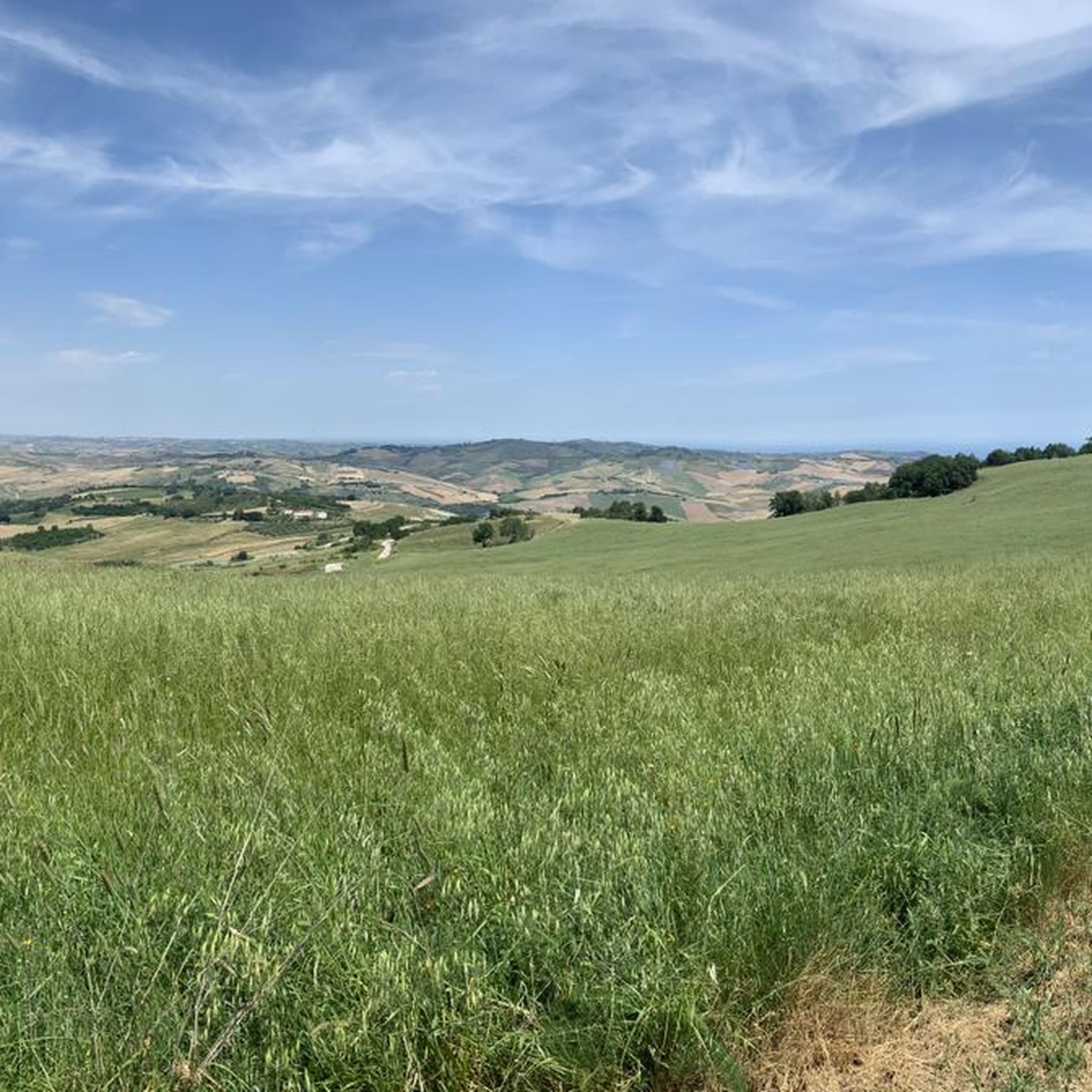
Outside the town centre, there is a nice stretch of mixed dirt and light asphalt which, with not too demanding descents and climbs, makes you lose yourself on the Molise hills, worth trying.
0
0

From the mouth of the Sinacra river you can enjoy a beautiful stretch of cycle path
0
0
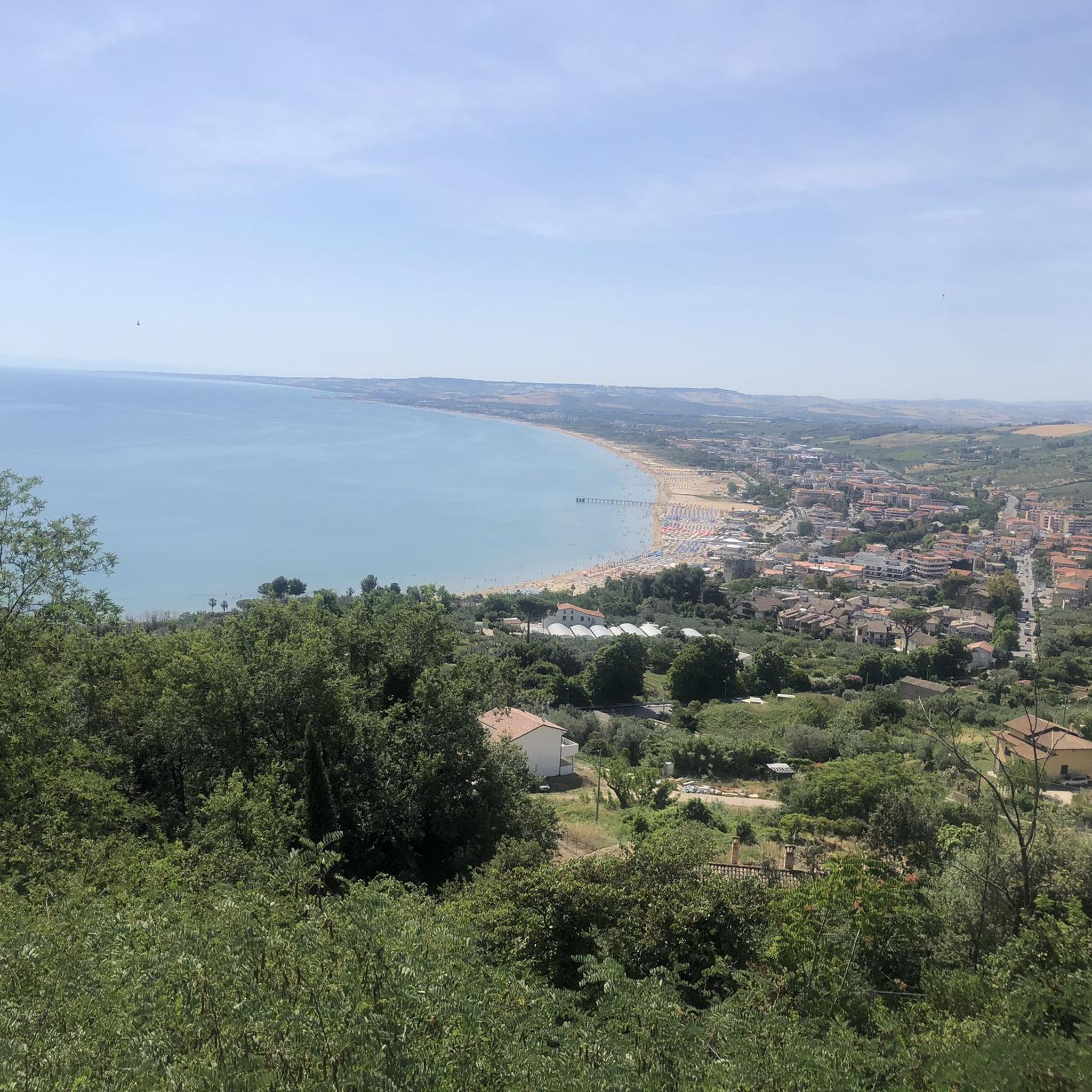
Breathtaking panorama, the Gargano promontory and the Majella.
0
0
The existing stretch is the northern seafront of Termoli, which starts from the mouth of the Sinarca.
1
0
Frequently Asked Questions
How many touring cycling routes are available around Fresagrandinaria?
There are over 35 touring cycling routes around Fresagrandinaria, offering a variety of options for different skill levels and preferences.
Are there easy touring cycling routes suitable for beginners or families?
Yes, Fresagrandinaria offers several easy touring cycling routes. For instance, the Cycle and pedestrian path to Vasto – San Salvo Cycle Path loop from San Salvo is a straightforward 9.9-mile (16.0 km) trail, perfect for a relaxed ride.
What kind of terrain can I expect on touring cycling routes in Fresagrandinaria?
The region features a mix of coastal plains and gentle inland hills. Routes often follow the coastline or wind through agricultural areas, with generally moderate elevation changes. You'll find both flat sections and some rolling hills.
Are there any challenging touring cycling routes for experienced riders?
Absolutely. For those seeking a more demanding ride, routes like the Cycle and pedestrian path to Vasto – Trabocco Cungarelle loop from San Salvo offer a longer distance of 33.6 miles (54.1 km) and more significant elevation changes, leading through varied coastal and inland areas.
What are some scenic highlights or attractions I can see along the routes?
Many routes offer beautiful coastal views. You can also explore natural attractions such as the Marina di Vasto Regional Nature Reserve or enjoy panoramic vistas like the View of the badlands. The region also features unique geological formations like the Cave of the Madonna di Bisaccia.
Are most touring cycling routes in Fresagrandinaria circular?
Many of the touring cycling routes in the area are designed as loops, allowing you to start and finish at the same point. Examples include the Trabocco Cungarelle – The Bather of Vasto loop from San Salvo and the Cycle and pedestrian path to Vasto – San Salvo Cycle Path loop from San Salvo.
What do other touring cyclists say about cycling in Fresagrandinaria?
The touring cycling routes around Fresagrandinaria are highly rated by the komoot community, with an average score of 4.8 stars from nearly 20 reviews. Cyclists often praise the diverse landscapes, from coastal paths to agricultural areas, and the accessibility of routes for various skill levels.
What is the typical length and duration of touring cycling routes in this area?
Route lengths vary significantly. You can find shorter rides like the 9.9-mile (16.0 km) Cycle and pedestrian path to Vasto – San Salvo Cycle Path loop from San Salvo, which takes about an hour, up to longer excursions such as the 33.6-mile (54.1 km) Cycle and pedestrian path to Vasto – Trabocco Cungarelle loop from San Salvo, typically completed in around 3 hours 20 minutes.
Where do touring cycling routes typically start around Fresagrandinaria?
Many routes originate from nearby towns and coastal areas, such as San Salvo or Rione Istonio, offering convenient access points. For example, the Trabocco Cungarelle – The Bather of Vasto loop from Rione Istonio starts from Rione Istonio.
Is it possible to find touring cycling routes that include stops for refreshments or local experiences?
While specific pub stops aren't detailed for every route, the routes often pass through or near coastal towns and villages where you can find cafes, restaurants, and local shops to stop for refreshments and experience local culture.
What is the best time of year for touring cycling in Fresagrandinaria?
The spring and autumn months generally offer the most pleasant conditions for touring cycling in Fresagrandinaria, with milder temperatures and less crowded routes. Summer can be warm, especially along the coast, but still enjoyable for early morning or late afternoon rides.
Most popular attractions around Fresagrandinaria

Get inspired with the komoot mobile app


Explore more
Browse the best Cycling routes in other regions.
