The best cycling routes around Archi
4.4
(48)
510
riders
75
rides
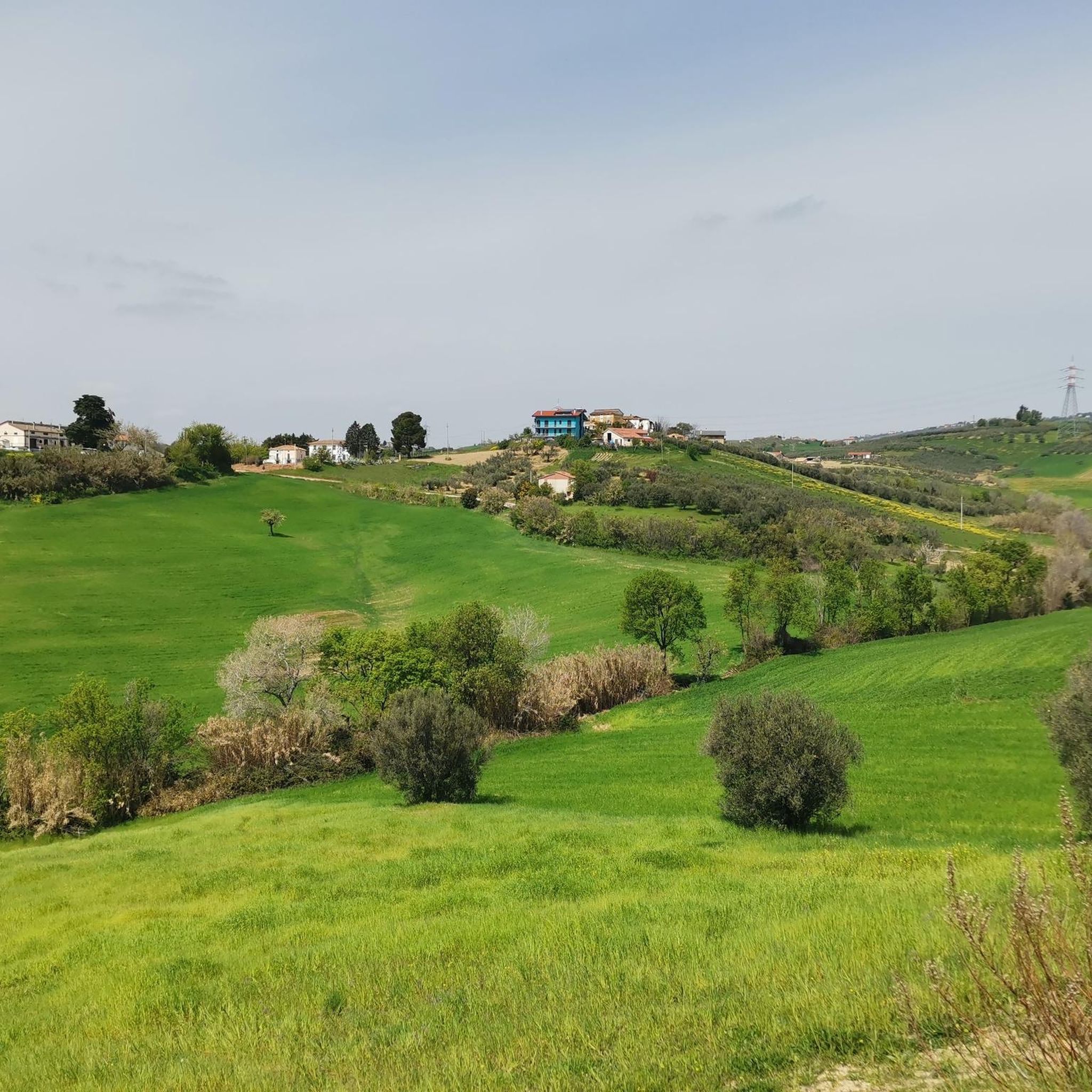
Touring cycling routes around Archi, a municipality in Italy's Abruzzo region, traverse diverse landscapes. The area features mountainous terrain with significant elevation changes, alongside river valleys like the Val di Sangro and the presence of lakes such as Lago di Bomba. Routes often utilize secondary roads, providing an engaging way to explore pristine forests and natural areas.
Best touring cycling routes around Archi
- The most popular touring cycling route is Fossacesia Old Railway Station – Adriatic Cycle Route loop from…
Last updated: October 9, 2026
24
riders
Moderate bike ride. Good fitness required. Mostly paved surfaces. Suitable for all skill levels.
4.8
(6)
17
riders
96.0km
06:06
1,130m
1,120m
Hard bike ride. Very good fitness required. Mostly paved surfaces. Suitable for all skill levels.

3.0
(2)
11
riders
55.3km
03:59
990m
990m
Hard bike ride. Very good fitness required. Mostly paved surfaces. Suitable for all skill levels.
5.0
(1)
13
riders
62.1km
04:10
940m
940m
Hard bike ride. Very good fitness required. Mostly paved surfaces. Suitable for all skill levels.
14
riders
57.8km
04:27
1,310m
1,310m
Hard bike ride. Very good fitness required. You may need to push your bike for some segments of this route.
Get access to more routes and recommendations from other explorers.
Already have an account?
Our route recommendations are based on thousands of hikes, rides, and runs completed by other people on komoot.
Start today with a free account
Your next adventure awaits.



Tips from the Community

Suitable for Gravel or MTB, less so for road bikes on the dirt sections
0
0

Historic Franciscan monastery in an oasis of peace. The Convento di San Pasquale (officially the monastery of Santa Maria degli Angeli) is hidden in the greenery on the hill of Vallaspra, just outside the medieval town of Atessa. This impressive complex was founded as early as 1408 by the blessed Tommaso da Firenze. It is built entirely of natural stone and exudes a serene, historic atmosphere. Although the interior and the beautiful monastery garden with the central well (from 1709) are unfortunately often closed to the public due to varying opening hours, the complex is an absolute sight to behold from the outside. Under the large portico at the front, you can still admire a centuries-old fresco of the Pietà. Moreover, the quiet, shady surroundings are perfect for a well-deserved break during your sporting tour. Fun fact: the monastery used to lend its name to the well-known local herbal liqueur "Amaro San Pasquale", which was originally prepared by the monks with herbs from this valley.
2
0
Sangro River – The liquid border of the Costa dei Trabocchi. Crossing the Sangro River via the imposing iron bridge is an iconic moment on the Via Verde dei Trabocchi! At 122 kilometers long, the Sangro is one of Abruzzo's mightiest rivers. It begins its journey high in the Apennines and carves its way down to flow into the Adriatic Sea right here, between Fossacesia and Torino di Sangro. From the old railway bridge, you can enjoy a vast panorama of the wide river mouth. This nature reserve forms an important ecological crossroads where river dunes, rare water birds, and the salty sea breeze converge. Why is this river a top highlight? The Gustav Line: The Sangro has a troubled history. During World War II, this river formed the natural barrier for the infamous German Gustav Line. Fierce fighting took place here at the time as the Allies attempted to cross the river. Access to the Lecceta: Immediately after crossing the river heading south, you'll roll straight into the magnificent Riserva Naturale Lecceta di Torino di Sangro, a rare Mediterranean holm oak forest.
0
0
Fossacesia Marina Beach – The perfect mix of pebbles and crystal-clear water! The beach of Fossacesia Marina is an absolute top location along the Via Verde! This wide, kilometer-long beach consists of pearl-white pebbles that contrast beautifully with the intense green and blue hues of the Adriatic Sea. Thanks to these stones, the water here remains almost always crystal clear, making it a paradise for swimmers. Whether you love pure, rugged nature or comfort; this beach offers the best of both worlds. You'll find large stretches of free nature (spiaggia libera) where you can simply lay down your towel, interspersed with atmospheric lidos and beach bars where you can rent sun loungers. Why is this beach worthy of a highlight? 🌊 Crystal-clear sea: The unique, light pebble bottom ensures an incredibly turquoise water quality that has been receiving the prestigious Bandiera Blu (Blue Flag) for years. 🍹 Lively boulevard: Directly on the cycle path, you'll find numerous cozy beach bars and cafes for a quick espresso, an ice-cold drink, or a delicious Italian gelato. 🗺️ Perfect base: Located at the foot of the hill of the abbey of San Giovanni in Venere and surrounded by historic trabocchi. 💡 Komoot tip: during your bike tour, be sure to pack your water shoes in your bike bag! The pebbles can get very hot on a warm summer day, and this way you can comfortably walk into the refreshing water for the ultimate cooling down during your bike route.
4
0
Ex-Fossacesia Station – The historic railway heart by the sea. The old Fossacesia Marina train station is a fascinating cultural-historical stop right along the route. Today, this nostalgic building marks the spot where the historic Adriatic Railway (Ferrovia Adriatica) thundered along since 1862, until the railway was moved inland in 2005 to make way for the current Via Verde. Although the characteristic building was a symbol of bygone glory for many years, the place breathes pure railway history. It is also the place where the 19th-century industrial revolution and the ancient fishing tradition literally shook hands. The historical significance behind this stop: the backbone of the trabocchi: When workers laid the tracks for this station in the 19th century, they left heavy materials lying around. Resourceful fishermen used the abandoned, heavy railway sleepers, iron bolts, and telegraph cables to anchor nearby trabocchi (like Punta Rocciosa) indestructibly into the seabed. The train thus gave the fishing spiders their iron backbone! Climb to the Goddess of Love: this station was historically the gateway for travelers making pilgrimages to the higher-lying 12th-century San Giovanni in Venere Abbey. Future Tourist Hub! There's a breath of fresh air blowing through the heritage! In May 2026, the final expropriation process will be completed. The province of Chieti is currently transforming this old station into a modern tourist hub and co-working space. Komoot tip: use the ample parking around the old station as the ideal starting point for your bike tour, or pause here to capture the contrasts between the old architecture and the modern cycling infrastructure.
5
0
Castello Aragonese – Historic viewpoint above the Adriatic Sea The Castello Aragonese is the impressive northern starting point of the Costa dei Trabocchi. This 15th-century fortress stands high on a steep cliff and offers you a magnificent view over the Adriatic Sea, the port of Ortona, and the coastline of the Via Verde dei Trabocchi. The massive round towers and thick fortress walls are reminiscent of a turbulent past. The castle withstood heavy fighting during World War II, after which part of the complex was lost. As if that were not enough, in 1946, a landslide caused almost half of the fortress to disappear into the sea. Today, it is one of the most beautiful viewpoints in Ortona and an ideal stop during your cycling or hiking tour. The castle ruins and inner courtyard are freely accessible. A short, steep climb awaits from the port, but it is amply rewarded with beautiful panoramas. Around the castle, you will also find cozy terraces and shady benches to catch your breath.
1
0
Trabocco Mucchiola – Picnic with sea view Trabocco Mucchiola is a lovely place to take a break during your tour along the Via Verde dei Trabocchi. Next to the cycle path, there is a shady picnic area with tables, ideal for resting, eating something, or simply enjoying the view of the Adriatic Sea. The charming wooden trabocco stands on the rocky Punta Mucchiola and is one of the first fishing platforms you will encounter south of Ortona. Thanks to its splendid location, this is also a beautiful stop along the route to capture a beautiful memory.
4
0
Trabocco Torre Il Sole – The wooden spider above the Adriatic Sea 🌊🪵 Along the Via Verde dei Trabocchi, you'll encounter special wooden fishing platforms, but the Trabocco Torre Il Sole is a real eye-catcher. This impressive 'wooden spider' hovers on high stilts above the waves, forming one of the most photogenic spots along the coast of San Vito Chietino. The trabocchi were built centuries ago not by seafarers, but by local farmers. They sought a safe way to fish without having to venture onto the dangerous open sea. With long wooden arms, nets, and an ingenious construction, they could catch deep-sea fish from the shore. Built from strong and flexible Aleppo pine wood, these special structures have defied the salty sea air and powerful coastal winds for generations. A perfect place to pause, enjoy the view, and take an unforgettable photo with the azure Adriatic Sea as a backdrop.
1
0
Frequently Asked Questions
What kind of terrain can I expect on touring cycling routes around Archi?
The touring cycling routes around Archi traverse diverse and often challenging landscapes. You can expect mountainous terrain with significant elevation changes, alongside scenic river valleys like the Val di Sangro and the presence of lakes such as Lago di Bomba. Routes frequently utilize secondary roads, guiding you through pristine forests and natural areas, offering a blend of coastal views and inland climbs.
Are there challenging touring cycling routes for experienced cyclists in Archi?
Yes, Archi offers numerous challenging routes for experienced touring cyclists. For instance, the Trabocco Punta Cavalluccio – Via Verde dei Trabocchi loop from Atessa is a difficult 96.0 km path with substantial elevation gain, featuring varied terrain including coastal sections. Another demanding option is the Fountain – Scenic Gravel Road loop from Piana La Fara, a 53.5 km trail with significant climbing through natural landscapes.
What natural features can I see while touring cycling near Archi?
While touring cycling near Archi, you'll be immersed in unspoiled natural beauty. The routes guide you through pristine forests, along river valleys like the Val di Sangro, and past lakes such as Lago di Bomba. The broader Abruzzo region is known for its diverse landscapes, including mountains and coastlines. You might also encounter a beautiful Waterfall in Gola di Pennadomo.
Are there any historical landmarks or points of interest along the touring cycling routes?
Yes, the region around Archi offers several historical landmarks and points of interest that can enhance your cycling experience. You can visit the impressive Castello di Roccascalegna, a medieval castle offering stunning views, or the Convent of San Pasquale (Atessa). Other notable sites include the Church of Saint Peter and the Baronial Palace.
Are there circular touring cycling routes available in Archi?
Yes, many touring cycling routes around Archi are designed as loops, allowing you to start and end at the same point. Examples include the Fossacesia Old Railway Station – Adriatic Cycle Route loop from Chiesa San Benedetto, the Trabocco Punta Cavalluccio – Via Verde dei Trabocchi loop from Atessa, and the Fountain – Scenic Gravel Road loop from Piana La Fara.
What is the best time of year for touring cycling in Archi?
The Abruzzo region, where Archi is located, generally offers pleasant cycling conditions during spring and autumn. These seasons provide milder temperatures and beautiful scenery, making them ideal for exploring the mountainous terrain and coastal areas. While specific seasonal conditions for Archi are not detailed, avoiding the peak heat of summer and potential winter snow in higher elevations is advisable for touring cyclists.
Are there family-friendly touring cycling options in Archi?
While many routes in Archi feature significant elevation changes, there are options that might be more suitable for families or those seeking a less strenuous ride. The Fossacesia Old Railway Station – Adriatic Cycle Route loop from Chiesa San Benedetto is rated as moderate and offers coastal views, which could be a pleasant option for families looking for a scenic ride without extreme climbs.
What do other touring cyclists say about the routes in Archi?
The touring cycling routes in Archi are highly regarded by the komoot community, with an average rating of 4.2 stars from over 40 reviews. More than 500 touring cyclists have used komoot to explore Archi's varied terrain, often praising the unspoiled natural beauty, the engaging routes on secondary roads, and the blend of mountainous and coastal landscapes.
Are there any gravel sections on the touring cycling routes?
Yes, some touring cycling routes around Archi incorporate scenic gravel sections. For example, the Fountain – Scenic Gravel Road loop from Piana La Fara is specifically highlighted for leading through scenic gravel roads and natural landscapes. Another route, the Fonte Gelata – Scenic Gravel Road loop from Atessa, also features gravel sections.
Where can I find parking for touring cycling routes around Archi?
While specific parking locations are not detailed for every trailhead, many routes around Archi start from towns or villages like Atessa or Piana La Fara. It is generally advisable to look for public parking areas within these municipalities, especially near the starting points of popular routes. These areas often provide convenient access to the cycling trails.
Are there places to eat or stay near the touring cycling routes?
The region around Archi, being part of Italy's Abruzzo, offers opportunities to experience local culture, which typically includes local eateries and accommodation. While specific cafes, pubs, or hotels directly on the routes are not listed, towns like Archi itself, Atessa, or other nearby villages would provide options for refreshments and overnight stays, allowing cyclists to refuel and relax after their rides.
Are there any moderate touring cycling routes in Archi?
Yes, there are moderate touring cycling routes available in Archi. The Fossacesia Old Railway Station – Adriatic Cycle Route loop from Chiesa San Benedetto is a moderate 42.6 km trail that takes approximately 2 hours and 30 minutes to complete, offering pleasant coastal views along the Adriatic without the extreme elevation gains of more difficult routes.
Most popular attractions around Archi

Get inspired with the komoot mobile app


Explore more
Browse the best Cycling routes in other regions.
