The best walks and hikes around Rauchenwarth
4.6
(1179)
6,137
hikers
387
hikes
Hiking around Rauchenwarth offers a tranquil setting within Lower Austria, characterized by gentle rolling terrain and woodlands. The area features a mix of deciduous and pine forests, providing shaded paths. While specific dramatic landscapes are not prominent, the region offers accessible trails suitable for various outdoor activities.
Best hiking trails around Rauchenwarth
- The most popular hiking route is Fischabrücke – Old Railway Bridge loop from Ebergassing, a 4.5 miles (7.2 km) trail that takes 1 hour 50 minutes to…
Last updated: September 28, 2026
13
hikers
7.21km
01:50
20m
20m
Easy hike. Great for any fitness level. Easily-accessible paths. Suitable for all skill levels.
4.3
(3)
13
hikers
7.14km
01:54
70m
70m
Easy hike. Great for any fitness level. Easily-accessible paths. Suitable for all skill levels.

5.0
(3)
8
hikers
5.94km
01:34
50m
50m
Easy hike. Great for any fitness level. Easily-accessible paths. Suitable for all skill levels.
2.8
(4)
10
hikers
4.29km
01:06
20m
20m
Easy hike. Great for any fitness level. Easily-accessible paths. Suitable for all skill levels.
5.0
(4)
8
hikers
4.03km
01:02
20m
20m
Easy hike. Great for any fitness level. Easily-accessible paths. Suitable for all skill levels.
Get access to more routes and recommendations from other explorers.
Already have an account?
Our route recommendations are based on thousands of hikes, rides, and runs completed by other people on komoot.
Start today with a free account
Your next adventure awaits.

Tips from the Community


now renovated and no more plants and railway tracks on the bridge
1
0


Parking spaces directly at the church and therefore a wonderful introduction to various tours.
1
0

In the spring of 1652, in the immediate vicinity of the church, a spring came to light, which was initially used for watering cattle. But history tells of numerous miraculous healings through the sweet water. The first chapel was built that same year. Numerous people, not only from the immediate vicinity, but also from Vienna, today's Burgenland and other parts of Lower Austria, made pilgrimages to Rauchenwarth to hope for relief from their suffering or even healing. This tradition has survived to this day. The Bründl Festival is celebrated every year on the 2nd Sunday in September in Maria's name.
1
0

an old railway bridge in a beautiful state of decay must or can be passed for some kind of little adventure.
1
0
Desolate state - please do not enter
0
0
Frequently Asked Questions
How many hiking trails are available around Rauchenwarth?
There are over 400 hiking routes available around Rauchenwarth. The majority of these, more than 260, are classified as easy, making the area very accessible for various skill levels.
Are there many easy hiking trails in Rauchenwarth?
Yes, Rauchenwarth is particularly well-suited for easy hikes. Over 260 of the available routes are rated as easy, featuring gentle rolling terrain and woodlands. These trails are perfect for a relaxed outdoor experience.
What kind of terrain can I expect on hikes around Rauchenwarth?
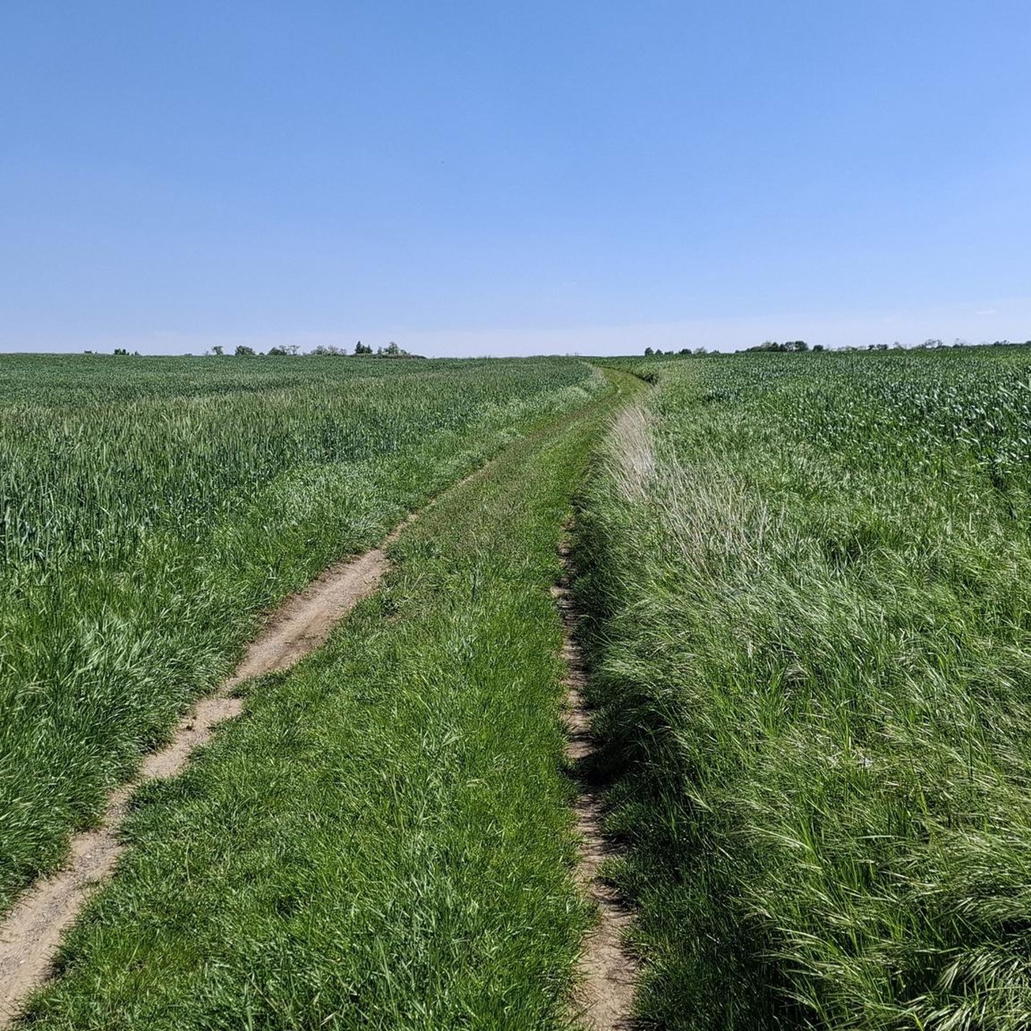
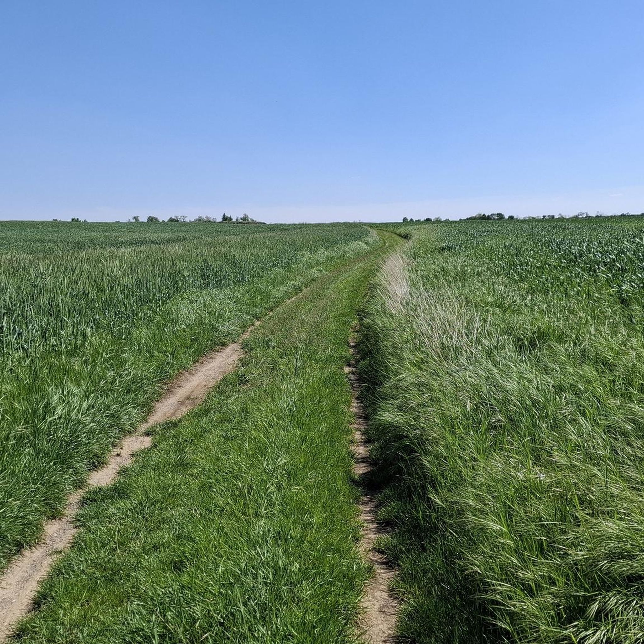
Hiking around Rauchenwarth is characterized by gentle rolling terrain, woodlands, and open fields. You'll find a mix of deciduous and pine forests, offering shaded paths, especially pleasant during warmer months. The area is part of Lower Austria, which is known for its diverse landscapes, including parts of the Vienna Woods.
Are there any circular hiking routes in Rauchenwarth?
Yes, many of the trails around Rauchenwarth are circular. For example, the Forest Path loop from Rauchenwarth is a popular 3.7-mile (5.9 km) option that takes you through wooded paths and open fields. Another is the Scenic Forest Path loop from Rauchenwarth, which is 2.6 miles (4.2 km) long.
What are some interesting places to see near the hiking trails?
While hiking, you can explore several points of interest. The historic Maria Bründl chapel, dating back to 1652, is a notable pilgrimage destination. You might also encounter a 14th-century Meierhof farm or a small wine cellar lane in the village. For specific attractions, consider visiting the Liesingbach Cycle Path: Oberlaa to Kledering, which offers scenic sections also enjoyed by walkers, or the Pig Barn – Maria Bründl Chapel loop from Rauchenwarth which passes by the chapel.
Are there any castles or historical sites to visit nearby?
Yes, the region around Rauchenwarth features several castles. You could visit Franzensburg Castle, Rothmühle Castle, or Neugebäude Palace. These historical sites offer a glimpse into the area's rich past and can be combined with a hike for a full day out.
What do other hikers enjoy most about hiking in Rauchenwarth?
The area is highly rated by the komoot community, with an average score of 4.6 stars from over 1000 reviews. Hikers often praise the tranquil setting, the accessibility of the trails, and the pleasant mix of woodlands and open fields. The well-maintained paths and the opportunity for relaxed walks are frequently highlighted.
Is Rauchenwarth suitable for family-friendly hikes?
Absolutely. With over 260 easy routes and gentle terrain, Rauchenwarth is ideal for family-friendly hikes. The trails are generally not too strenuous, allowing children and adults of all ages to enjoy the natural surroundings together. Many routes are circular, making planning easier for families.
Can I bring my dog on the hiking trails in Rauchenwarth?
Most hiking trails in Rauchenwarth are dog-friendly, offering plenty of opportunities for you and your canine companion to explore the woodlands and open fields. It's always recommended to keep your dog on a leash, especially near wildlife or agricultural areas, and to carry waste bags.
Are there any long-distance hiking trails that pass through Rauchenwarth?
Yes, Rauchenwarth is a point on the Sultans Trail (ST11 Stephansdom - Rauchenwarth stage). This international long-distance hiking trail stretches from Vienna to Istanbul, offering a unique journey through historical and cultural landscapes. While the full trail is extensive, you can experience a section of it in the Rauchenwarth area.
What is the best time of year to go hiking in Rauchenwarth?
Rauchenwarth offers pleasant hiking opportunities throughout much of the year. Spring brings blooming flower meadows, while summer provides cool, shaded paths through the forests. Autumn showcases beautiful fall foliage. Even in winter, the gentle terrain can be suitable for walks, though conditions may vary.
Is public transport available to reach hiking trailheads in Rauchenwarth?
Information on specific public transport connections directly to all trailheads is best checked with local transport providers. However, Rauchenwarth is a municipality in Lower Austria, and public transport options typically connect to nearby towns. Planning your route in advance using local bus or train schedules is advisable.
Are there places to park near the hiking trails?
While specific parking areas for every trailhead are not detailed, as a rural municipality, Rauchenwarth generally offers parking opportunities within the village or at designated points near popular trail access. It's recommended to check local signage or maps for the most convenient parking spots when planning your hike.
Most popular routes around Rauchenwarth
Most popular attractions around Rauchenwarth

Get inspired with the komoot mobile app


Explore more
Browse the best Hikes in other regions.
