The best road cycling routes around Canale Monterano
3.8
(189)
1,732
riders
45
rides
Road cycling around Canale Monterano, situated between the Tolfa and Sabatini Mountains in Lazio, offers diverse terrain for cyclists. The region features an average elevation of 336 meters, with hills reaching up to 554 meters, providing varied gradients. Roads are often lightly trafficked, contributing to a focused cycling experience. The landscape includes a mix of natural reserves, historic villages, and volcanic features.
Best road cycling routes around Canale Monterano
- The most popular road cycling route is Castello di Santa Severa…
Last updated: September 28, 2026
3.7
(3)
153
riders
74.8km
03:23
730m
730m
Moderate road ride. Good fitness required. Mostly well-paved surfaces and easy to ride.
5.0
(1)
126
riders
87.2km
04:08
1,100m
1,100m
Hard road ride. Very good fitness required. Mostly well-paved surfaces and easy to ride.

4.1
(60)
63
riders
41.7km
01:52
420m
420m
Moderate road ride. Good fitness required. Mostly well-paved surfaces and easy to ride.
3.0
(2)
48
riders
70.4km
03:19
890m
890m
Moderate road ride. Good fitness required. Some segments of this route may be unpaved and difficult to ride.
4.5
(4)
45
riders
74.1km
03:38
1,100m
1,100m
Hard road ride. Very good fitness required. Mostly well-paved surfaces and easy to ride.
Get access to more routes and recommendations from other explorers.
Already have an account?
Our route recommendations are based on thousands of hikes, rides, and runs completed by other people on komoot.
Start today with a free account
Your next adventure awaits.

Tips from the Community

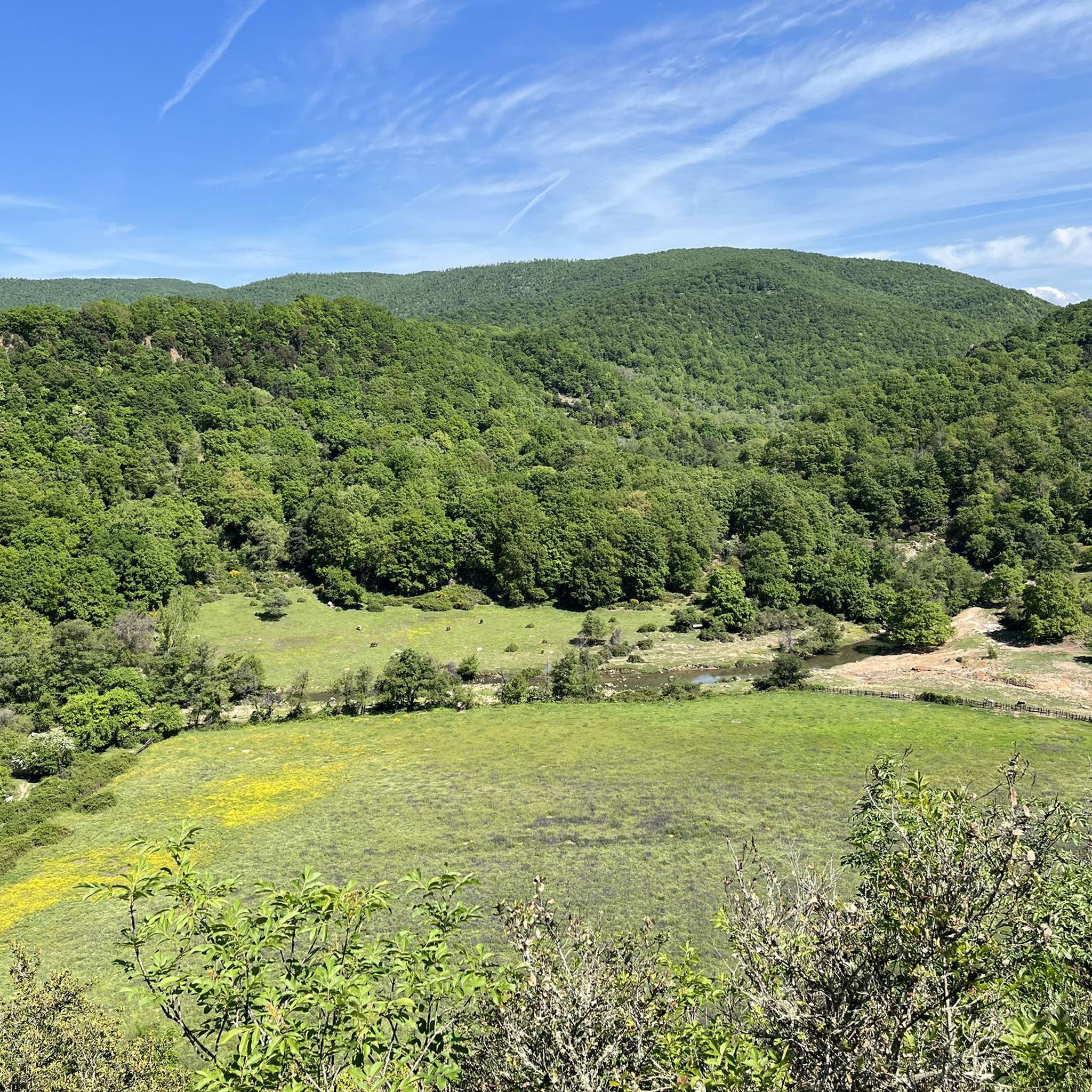
Capranica is a village in Tuscia, built on a tuff cliff between the Cimini Mountains and the Mignone River valley. Its origins are Etruscan, but the center we see today retains its medieval charm, with narrow streets, arches, ancient gates, and evocative churches such as that of Santa Maria Maddalena. Hazelnut groves, olive groves, and woods extend all around, creating a distinctive landscape. It's a pleasant stop on the Via Francigena, where history and nature meet in an authentic and welcoming atmosphere.
0
0

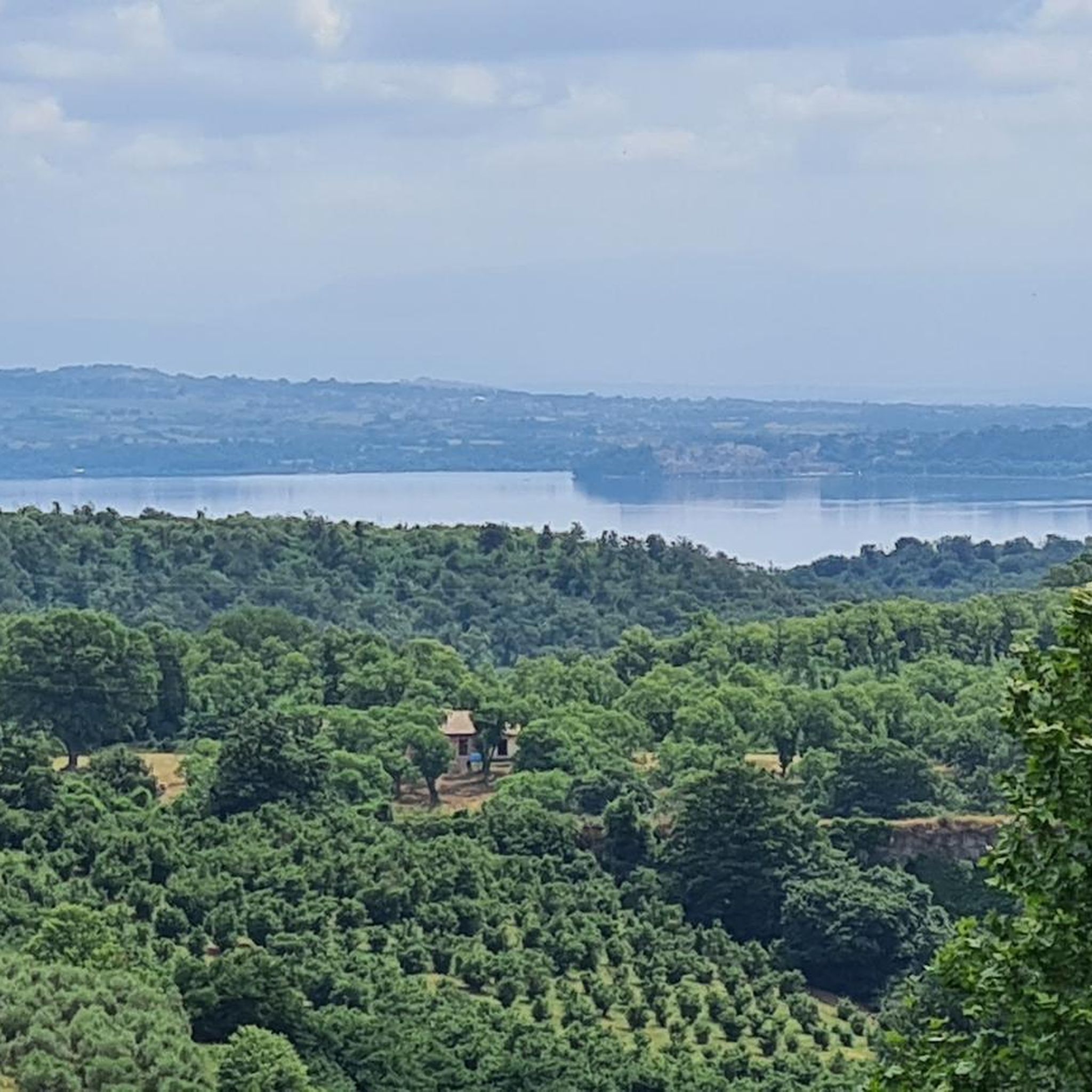
A lake of volcanic origin in the province of Viterbo, Lake Vico perhaps owes its name to the locality Vicus Matrini, an important junction on the Via Cassia that no longer exists. It is surrounded by a wetland that is also a protected natural area.
0
0

On one side Saint Marinella, on the other Saint Severe
0
0
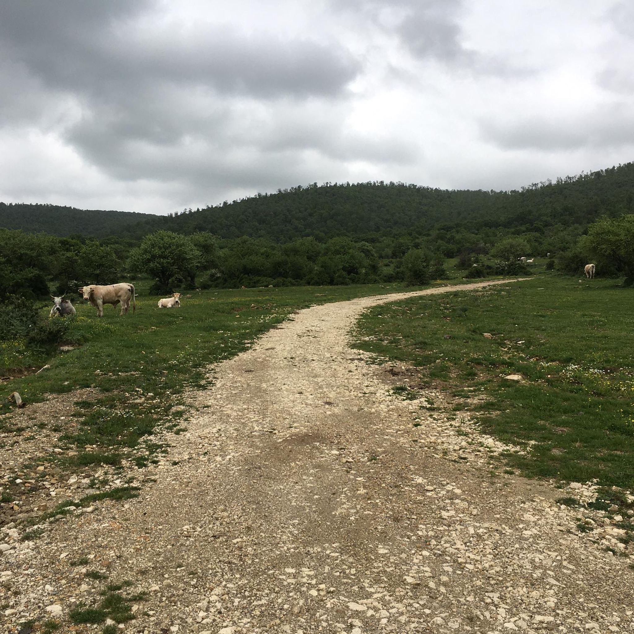
Long but rideable climb, gradients between 6/7%
0
0
From here you can start to glimpse Tolfa
0
0
Very rideable climb even if long, always 6/7%
0
0


Frequently Asked Questions
How many road cycling routes are available around Canale Monterano?
There are over 40 road cycling routes around Canale Monterano, offering a wide range of options for different skill levels and preferences. These routes have been explored by over 1000 cyclists using komoot.
What kind of terrain can I expect when road cycling in Canale Monterano?
The region offers diverse terrain, from an average elevation of 336 meters to peaks of 554 meters. You'll find rolling hills, varied gradients, and routes connecting historic villages and natural reserves. Many roads are lightly trafficked, providing a focused cycling experience.
Are there routes suitable for beginners or less experienced road cyclists?
Yes, Canale Monterano offers several routes suitable for beginners. Out of the over 40 routes, 7 are classified as easy, and 19 are moderate, featuring mostly well-paved surfaces and manageable elevation gains. A good moderate option is the Vejano – Vejano loop from Manziana - Canale Monterano.
What are some scenic highlights or landmarks I can see along the road cycling routes?
Many routes integrate historical and natural attractions. You can cycle past sites like the ancient Roman aqueduct, the Church and Convent of San Bonaventura, and the ghost town of Ancient Monterano. Scenic viewpoints include the Balcony overlooking Lake Bracciano and the Bracciano Viewpoint. Don't miss the Braccio di Mare Waterfall.
Are there any challenging road cycling routes for experienced riders?
Absolutely. For experienced riders seeking a challenge, there are 15 difficult routes available. An example is the Lake Vico – View of Lake Vico loop from Oriolo, which covers over 90 km with significant elevation gain towards Lake Vico.
What do other cyclists say about road cycling in Canale Monterano?
The road cycling routes around Canale Monterano are highly rated by the komoot community, with an average score of 4.1 stars from over 100 reviews. Cyclists often praise the low-traffic roads, diverse landscapes, and the blend of natural beauty with historical sites.
Are there circular road cycling routes available in the area?
Yes, many of the routes around Canale Monterano are designed as loops, offering convenient circular journeys. Examples include the Bracciano Castle – View of Lake Bracciano loop from Manziana-Canale Monterano and the Sutri Archaeological Park – Via delle Olmate loop from Manziana-Canale Monterano.
Can I combine road cycling with exploring historical sites?
Definitely. The region is rich in history, and many road cycling routes pass through or near historical villages and ancient ruins. You can cycle along sections of the 'Etruscan Way' or visit the ghost town of Ancient Monterano, which features ruins like the ducal palace and a fountain attributed to Bernini.
What is the best time of year for road cycling in Canale Monterano?
While specific weather data isn't provided, the Lazio region generally offers pleasant cycling conditions in spring and autumn with milder temperatures. Summer can be warm, but early mornings or late afternoons are often suitable. Winter cycling is possible, though some higher elevation routes might be cooler.
Are there any natural reserves or unique natural features to explore by bike?
Yes, the Riserva Naturale Monterano is a significant natural draw, featuring diverse ecosystems, woods, and waterways like the Mignone River. While some areas might be better explored on foot or with mountain bikes, road routes often skirt the reserve, offering views of volcanic gorges and unique vegetation. The area also has sulfur springs and the beautiful Diosilla Waterfall.
Are there routes that pass by lakes or offer lake views?
Yes, several routes provide stunning views of the nearby lakes. For instance, the Bracciano Castle – View of Lake Bracciano loop from Manziana-Canale Monterano takes you around Lake Bracciano, offering picturesque lakeside scenery and viewpoints.
Most popular routes around Canale Monterano
Most popular attractions around Canale Monterano

Get inspired with the komoot mobile app


Explore more
Browse the best Road cycling routes in other regions.
