The best walks and hikes around Raxendorf
4.6
(2562)
14,110
hikers
405
hikes
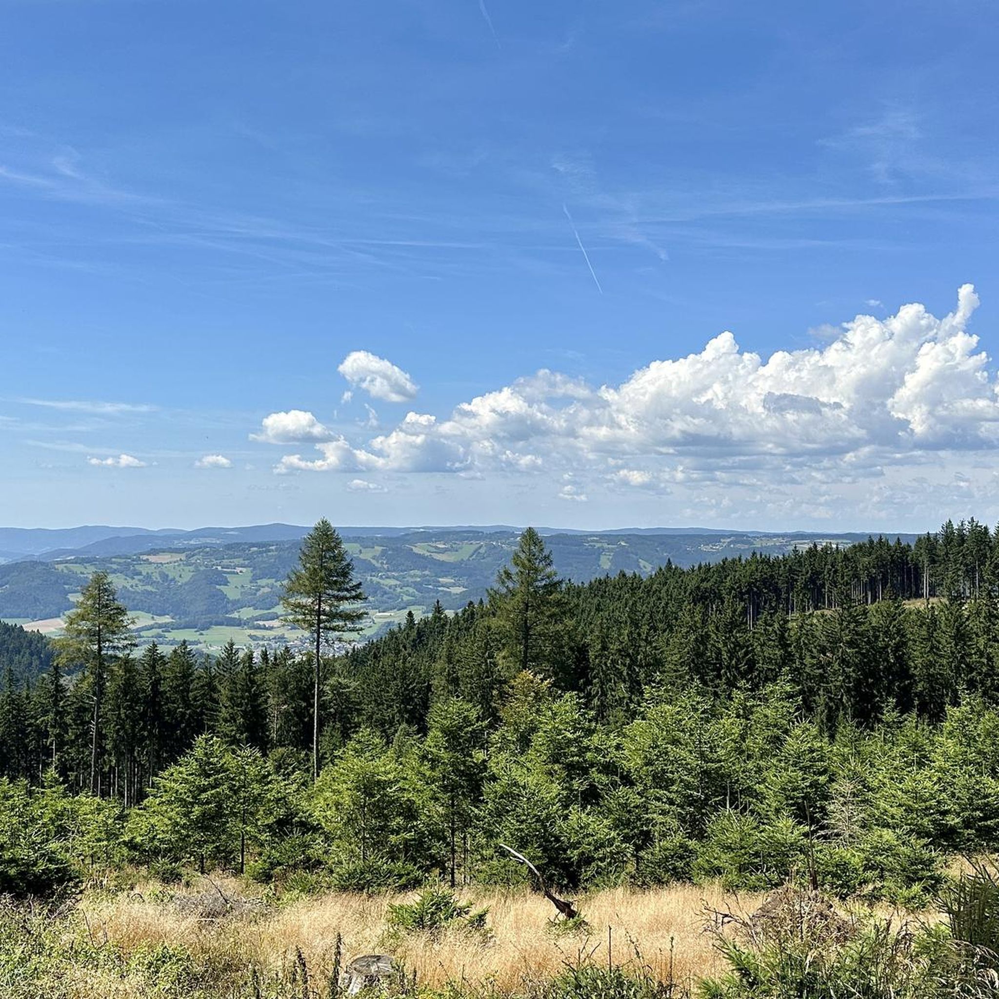
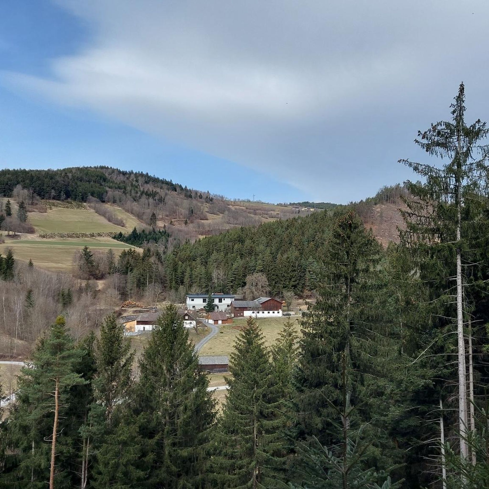
Hiking trails around Raxendorf traverse a landscape characterized by rolling hills, dense forests, and open fields within Austria's Melk district. The region offers varied terrain, including paths leading to the Jauerling, the highest elevation in the Wachau region. Hikers can expect a mix of gentle gradients and more challenging ascents, providing diverse experiences across its natural features.
Best hiking trails around Raxendorf
- The most popular hiking route is Jauerling circuit - to the highest mountain on the Danube, a…
Last updated: July 1, 2026
4.6
(37)
164
hikers
3.57km
00:59
60m
60m
Moderate hike. Great for any fitness level. Mostly accessible paths. Sure-footedness required.
4.8
(37)
185
hikers
Moderate hike. Good fitness required. Easily-accessible paths. Suitable for all skill levels.

Sign up for free
4.6
(16)
73
hikers
Moderate hike. Good fitness required. Easily-accessible paths. Suitable for all skill levels.
4.9
(7)
30
hikers
12.3km
03:41
400m
400m
Moderate hike. Good fitness required. Easily-accessible paths. Suitable for all skill levels.
4.6
(9)
35
hikers
12.0km
03:47
480m
480m
Moderate hike. Good fitness required. Easily-accessible paths. Suitable for all skill levels.
Get access to more routes and recommendations from other explorers.
Sign up for free
Already have an account?
Our route recommendations are based on thousands of hikes, rides, and runs completed by other people on komoot.
Start today with a free account
Your next adventure awaits.
Login or Signup
Popular around Raxendorf
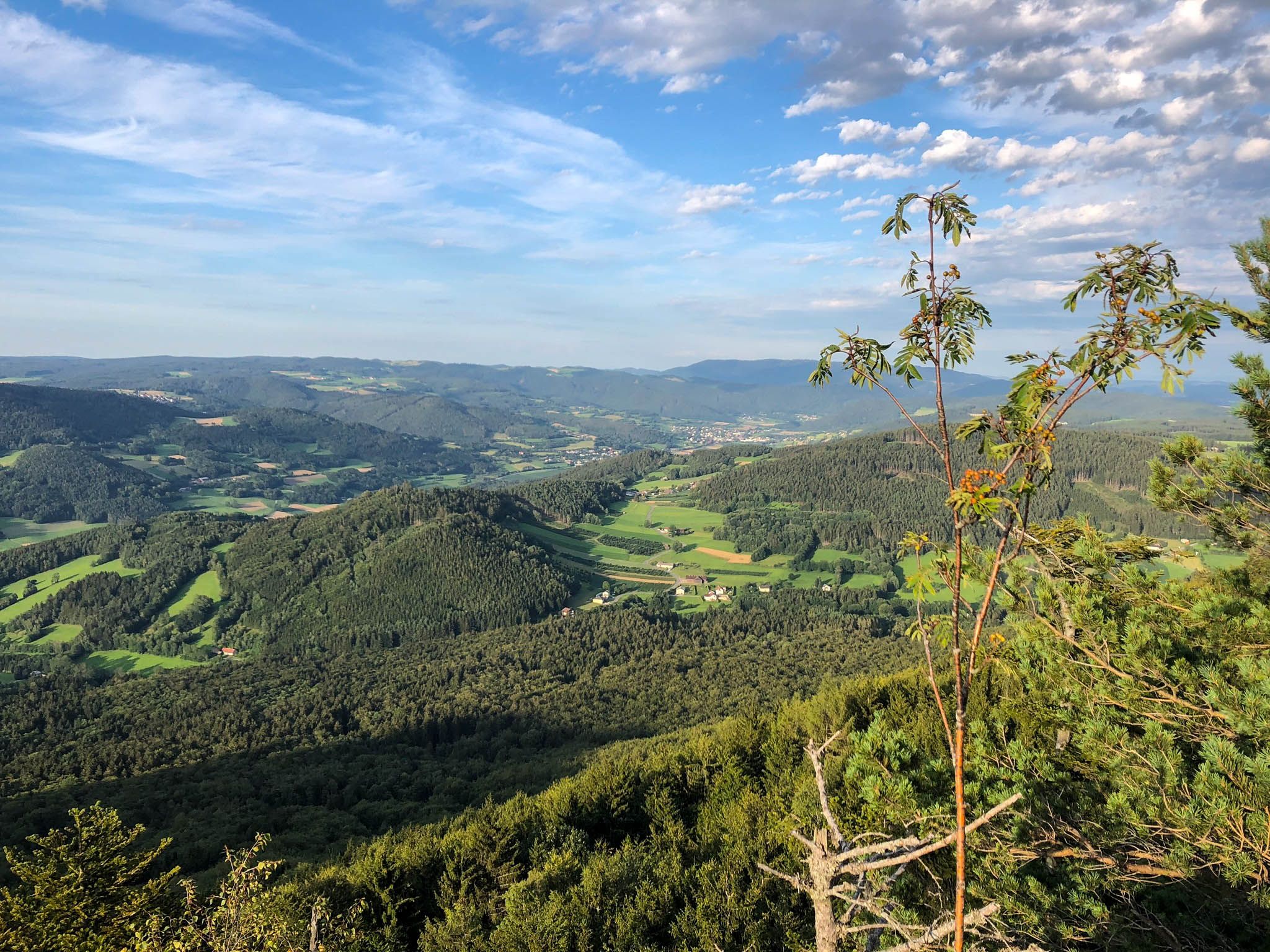
Ysper-Weitental circular hiking trail – Unwind in Austria
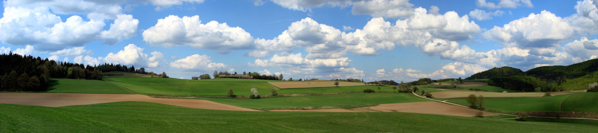
The Path of Life — A (spiritual) hike through northeastern Austria
MTB Trails around Raxendorf
Road Cycling Routes around Raxendorf
Running Trails around Raxendorf
Cycling around Raxendorf

Gravel biking around Raxendorf

Mountain Hikes around Raxendorf


Tips from the Community

This small sacral monument found here may be passed by many carelessly, but possibly one or the other hiker passing this way might want to pause for a short moment at the cross and perhaps – according to the old custom of the fathers – say „Gelobt sei Jesus Christus“. On the cross, Jesus Christ died for us, because the Son of God took this death upon himself out of love for us humans. A further thought from Christiane Völkel on this subject reads: „I have discovered that it benefits my relationship with God to at least be ready for the moments when God needs me to express [today] his love.“
0
0

Located on the side of the road near the nature park house.
0
0
Of course, the observation deck next to the transmitter is more interesting.
0
0
Flat summit with no view. But plenty to read.
0
0
Very good food and a beautiful view of the Spitzergraben, Spitz and the Danube from the terrace.
0
0
lots of interesting information - start of the various paths on the Jauerling and the path to the Nature Park House
0
0

Unspectacular summit after a spectacular ascent.
0
0

Located at 778 meters. If you follow the official tours, you will have a long and tough climb up to this point. There is a very nice large rest area here where you can take a breather.
0
0
Frequently Asked Questions
What kind of terrain can I expect on hiking trails around Raxendorf?
Hiking trails in Raxendorf traverse a varied landscape of rolling hills, dense forests, and open fields. The region is characterized by its diverse terrain, including paths leading to the Jauerling, which is the highest elevation in the Wachau region. You'll find a mix of gentle gradients suitable for leisurely walks and more challenging ascents for experienced hikers.
How many hiking trails are available in the Raxendorf area?
There are over 400 hiking routes around Raxendorf, offering a wide range of options for all skill levels. This includes approximately 180 easy trails, over 200 moderate routes, and around 30 more challenging hikes.
Are there any family-friendly hiking options in Raxendorf?
Yes, Raxendorf offers specially designed, well-signposted routes that are ideal for families with children. These trails often include engaging stops like playgrounds and picnic areas, allowing children to explore nature playfully. Many of the easier routes are suitable for families.
What are the best times of year to go hiking in Raxendorf?
The best times for hiking in Raxendorf are spring and autumn. In spring, the meadows and fields are vibrant with blooms, creating a beautiful backdrop. Autumn transforms the landscape with a stunning display of colorful leaves, offering picturesque views.
Are there any circular hiking routes in Raxendorf?
Yes, many of the trails around Raxendorf are circular routes, perfect for day trips. For example, the moderate Jauerling Observation Tower – View of the Alps loop from Katastralgemeinde Obernhof is a popular choice, offering expansive views from the Jauerling Observation Tower.
What kind of views or natural features can I expect to see on the trails?
Raxendorf is known for its panoramic views, especially from the Jauerling Mountain, which is the highest elevation in the Wachau region. You can enjoy expansive views of the Danube valley and the Waldviertel plateau. Trails like the Nonnersdorfer Kreuz – Jauerling Observation Tower loop from Zeining lead to these impressive viewpoints. The area also features dense forests and idyllic fields.
Are there any notable landmarks or attractions near the hiking trails?
Yes, the region offers several interesting landmarks. You can explore the idyllic landscapes around Raxendorf and visit the notable Kaiser Cave. Other nearby attractions include the historic Melk Abbey and the picturesque settlement of Spitz on the Danube. For natural features, consider visiting the Danube Valley in the Wachau.
What do other hikers enjoy most about the trails in Raxendorf?
The trails in Raxendorf are highly rated by the komoot community, with an average score of 4.6 stars from over 2,400 reviews. Hikers often praise the diverse terrain, the stunning panoramic views, and the well-maintained paths that cater to various skill levels. Over 14,000 hikers have used komoot to explore the area.
Are there any trails that offer a good challenge for experienced hikers?
While many trails are moderate, more experienced hikers can undertake summit hikes to nearby peaks for breathtaking panoramas. Routes with significant elevation gain, such as the View of the Alps – Maria Laach loop from Jauerling, provide a good challenge and rewarding views.
Can I learn about the local flora and fauna while hiking?
Yes, Raxendorf offers a dedicated 'nature trail' where visitors can learn about the local ecology. This trail allows you to discover the diverse flora and fauna of the region while enjoying the beautiful natural surroundings.
Are there options for longer, multi-day hikes?
Raxendorf is part of the extensive Long-distance hiking trail 05 – North-South long-distance hiking trail. This offers opportunities for multi-day treks for those looking for a more extended hiking adventure.
What is a good moderate hike to experience the Jauerling area?
A great moderate option is the Jauerling Observation Tower – Jahn Memorial on Jauerling loop from Katastralgemeinde Obernhof. This 7.9 km (4.9 miles) trail takes about 2 hours and 17 minutes, leading through forested areas and open sections, offering a balanced experience of the region.
Most popular routes around Raxendorf
Most popular attractions around Raxendorf

Get inspired with the komoot mobile app


Explore more
Browse the best Hikes in other regions.
