The best running trails around Nerola
4.1
(8)
393
runners
23
runs
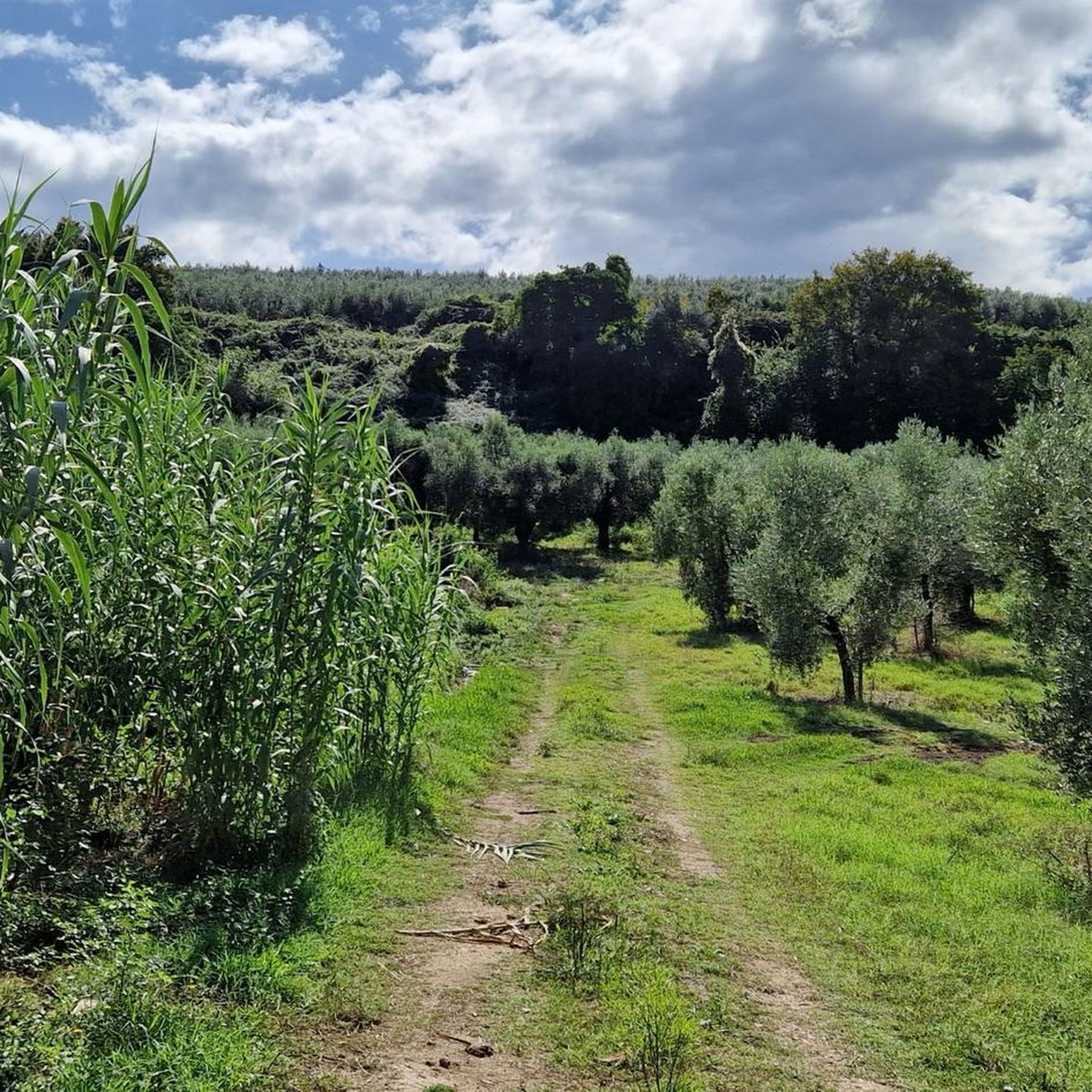
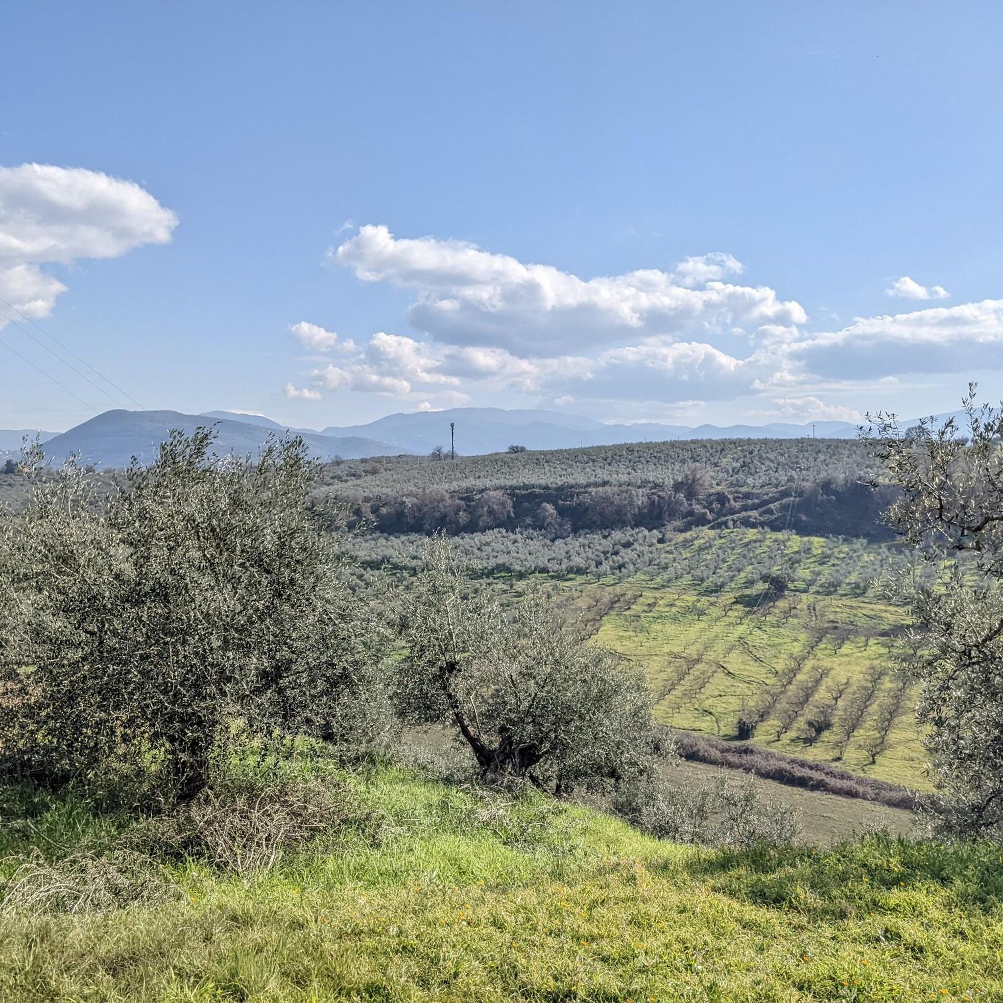
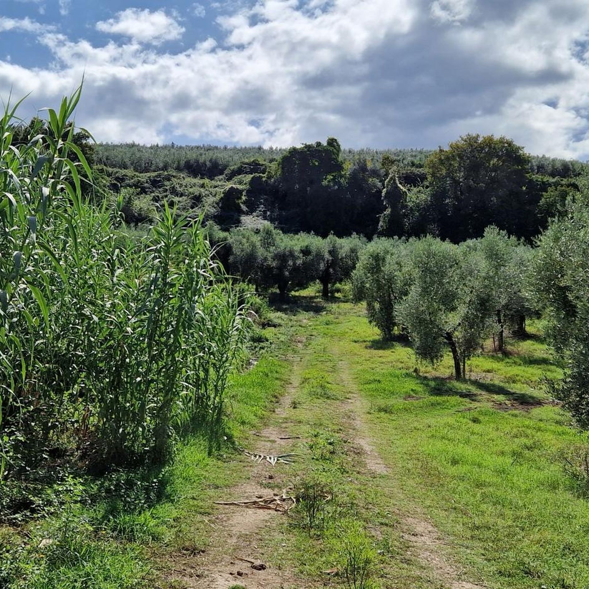
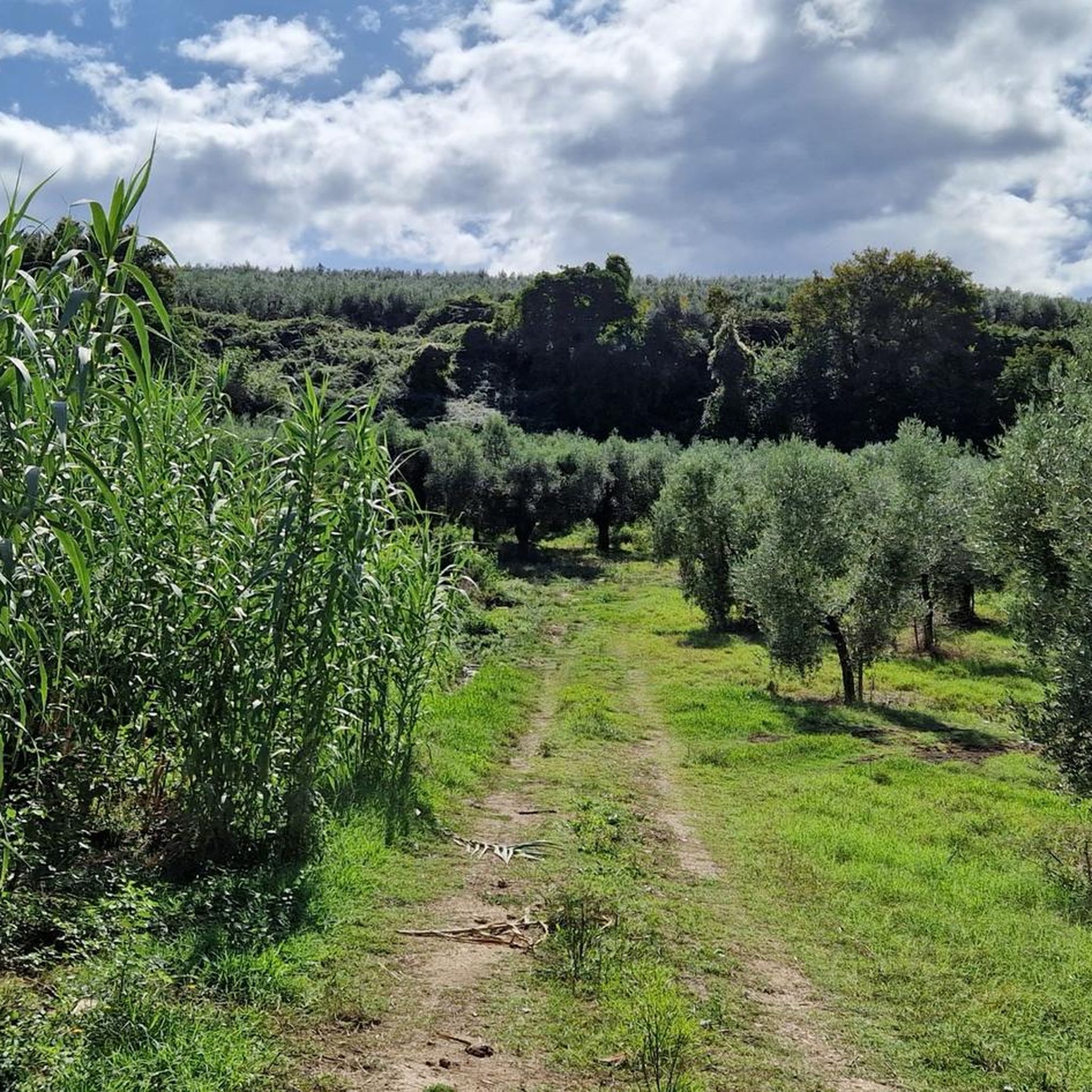
Jogging around Nerola offers diverse routes through the Lazio region's varied landscape. The area is characterized by rolling hills, ancient olive groves, and wooded paths, with routes often leading to historic sites and offering panoramic views. Runners can explore trails that traverse valleys and ascend to moderate elevations, providing both challenging climbs and gentler paths.
Best jogging routes around Nerola
- The most popular jogging route is Trail Run from Fara in Sabina to the Abbey of Farfa and Monte Acuziano…
Last updated: October 8, 2026
Hard run. Very good fitness required. Mostly paved surfaces. Suitable for all skill levels.
25
runners
10.7km
01:07
120m
120m
Moderate run. Good fitness required. Mostly paved surfaces. Suitable for all skill levels.

3
runners
25.8km
03:42
1,130m
1,130m
Hard run. Very good fitness required. Sure-footedness, sturdy shoes and alpine experience required.
5
runners
5.92km
00:40
140m
140m
Moderate run. Good fitness required. Mostly paved surfaces. Suitable for all skill levels.
4.0
(1)
7
runners
11.6km
01:50
650m
650m
Hard run. Very good fitness required. Sure-footedness, sturdy shoes and alpine experience required.
Get access to more routes and recommendations from other explorers.
Already have an account?
Our route recommendations are based on thousands of hikes, rides, and runs completed by other people on komoot.
Start today with a free account
Your next adventure awaits.

Tips from the Community

Beautiful village with an abbey that is worth a visit. From Fara Sabina there is a very long singletrack that is very fun to do only by MTB
0
0

This refuge is an excellent shelter and a good stopping point before tackling the uphill stretch to Mount Pellecchia. The portico and the tables are always accessible, while the indoor part is managed by the Municipality of Monteflavio and to stay overnight inside you have to ask them for the key.
1
0
Pizzo Pellecchia, with its 1330 meters, is the second peak of the Lucretili mountains. Pizzo Pellecchia and the top of Monte Pellecchia are part of the same wide mountain ridge and for this reason they have the same name. The name Pellecchia, in fact, derives from "penniculus" (pen), to indicate a place located on a steep hill.
1
0

Monte Pellecchia with its 1369 meters above sea level, is the highest peak of the Lucretili Mountains. At the top, the view spans 360 degrees over the most important mountain ranges of Lazio and Abruzzo.
2
0

A refuge in the middle of nowhere, it seems managed but I have not found any information. Outside there are many tables with benches and a bbq.
0
0
Reachable with a simple trek starting from the Farfa Abbey, at the top of the mountain are the ruins of the San Martino Abbey and it is possible to admire a 360° panorama that goes from the Tiber valley, to Terminillo Pellecchia and Gennaro up to Fara in Sabina on the opposite hill.
0
0

Monte Acuziano is a peak of 489 m above sea level in the Sabine mountains. At the top are the ruins of San Martino: they are the remains of an imposing abbey dating back to the 11th century and never completed. From the top of the mountain you can enjoy a beautiful view of Lazio and of the opposite side of Mount Bruzio on which the urban agglomeration of Fara in Sabina stands.
1
0
The Farfa abbey takes its name from the river of the same name (the Farfarus of Ovid) which flows nearby. The abbey is a monastery attributable to the Benedictine congregation.
1
0
Frequently Asked Questions
How many running routes are available around Nerola?
There are over 20 running routes around Nerola, offering a diverse range of experiences through the Lazio region's varied landscape.
What is the overall difficulty level of running trails in Nerola?
The trails around Nerola cater to various fitness levels. You'll find 1 easy route, 9 moderate routes, and 11 difficult routes, providing options for both casual joggers and experienced trail runners.
Are there any easy running paths suitable for beginners in Nerola?
Yes, there is at least one easy running path available. For a gentler experience, look for routes with minimal elevation gain, often found closer to the towns or along valley floors.
Where can I find longer distance running trails in Nerola?
For longer distances, consider routes like the Monte Pellecchia – Cima Fidene loop from Monteflavio, which is over 11 miles (18 km), or the challenging Fonte Malatesta – Cima Fidene loop from Monteflavio, spanning over 16 miles (26 km).
Are there circular running routes around Nerola?
Yes, many routes in the area are designed as loops. Popular options include the Trail Run from Fara in Sabina to the Abbey of Farfa and Monte Acuziano - Loop Tour, the Running loop from Passo Corese, and the Running loop from Moricone.
What kind of terrain can I expect on the jogging routes in Nerola?
You can expect diverse terrain, including rolling hills, ancient olive groves, and wooded paths. Many routes feature ascents to moderate elevations, providing both challenging climbs and gentler sections.
Are there scenic running paths with good viewpoints in Nerola?
Absolutely. The region is known for its panoramic views. Trails often lead to elevated points like Pizzo Pellecchia or offer vistas from historic sites, allowing you to enjoy expansive views of the surrounding mountainous terrain and countryside.
Can I find running routes that pass by historical sites or natural monuments?
Yes, many routes combine natural beauty with historical interest. You can run past significant landmarks such as the Abbey of Farfa, the Ruins of San Martino Abbey on Mount Acuziano, or natural features like the Acquaviva Waterfall.
What do other runners say about the trails in Nerola?
The running routes in Nerola are highly rated by the komoot community, with an average score of 3.7 stars from several reviews. Runners often praise the varied terrain, the combination of natural landscapes with historic sites, and the options for different ability levels.
What is the best time of year for running in Nerola?
Spring and autumn generally offer the most pleasant conditions for running in Nerola, with mild temperatures and vibrant scenery. Summer can be hot, making early morning or late evening runs preferable, while winter offers cooler, crisp air, though some higher elevation paths might be more challenging.
Are there any less crowded running trails around Nerola?
While popular routes can see more activity, exploring some of the moderate or difficult trails, especially during off-peak hours or weekdays, can lead you to quieter paths through the local countryside and wooded areas, offering a more solitary running experience.
Most popular attractions around Nerola

Get inspired with the komoot mobile app


Explore more
Browse the best Running Trails & Routes in other regions.
