The best walks and hikes around Redleiten
4.5
(816)
4,705
hikers
376
hikes
Hiking around Redleiten, located in Upper Austria, offers a diverse landscape for outdoor activities, particularly hiking. The region is characterized by the expansive Kobernaußerwald forest, providing numerous opportunities for scenic forest hikes. Features like Steiglberg, the highest point within the Kobernaußerwald, offer picturesque views, while the Redltal contributes to the varied terrain. This area provides a network of trails suitable for different skill levels.
Best hiking trails around Redleiten
- The most popular hiking route is Fish ponds with guesthouse –…
Last updated: October 1, 2026
4.8
(8)
29
hikers
Moderate hike. Good fitness required. Easily-accessible paths. Suitable for all skill levels.
23
hikers
4.15km
01:13
110m
110m
Easy hike. Great for any fitness level. Easily-accessible paths. Suitable for all skill levels.

4.4
(5)
21
hikers
9.48km
02:31
90m
90m
Moderate hike. Good fitness required. Easily-accessible paths. Suitable for all skill levels.
16
hikers
Moderate hike. Good fitness required. Easily-accessible paths. Suitable for all skill levels.
4.3
(4)
19
hikers
Moderate hike. Good fitness required. Easily-accessible paths. Suitable for all skill levels.
Get access to more routes and recommendations from other explorers.
Already have an account?
Our route recommendations are based on thousands of hikes, rides, and runs completed by other people on komoot.
Start today with a free account
Your next adventure awaits.
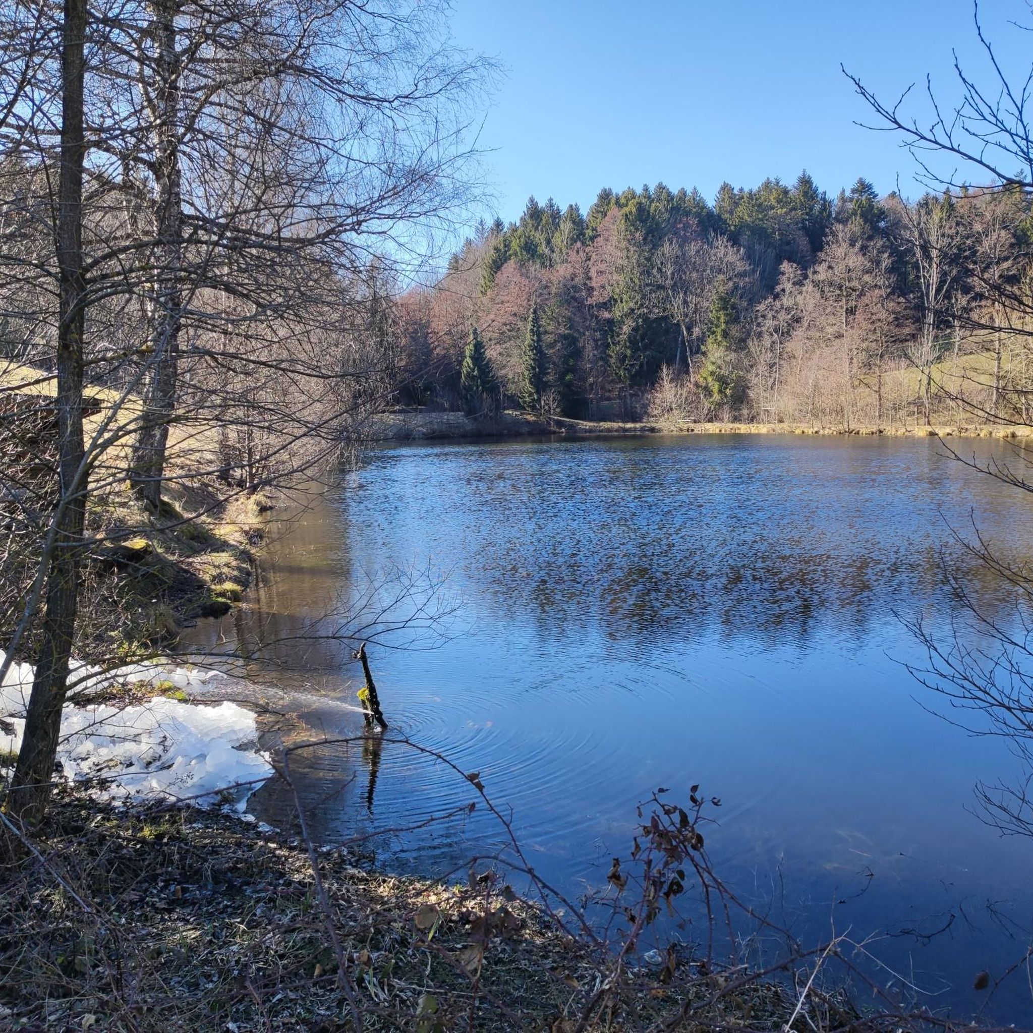
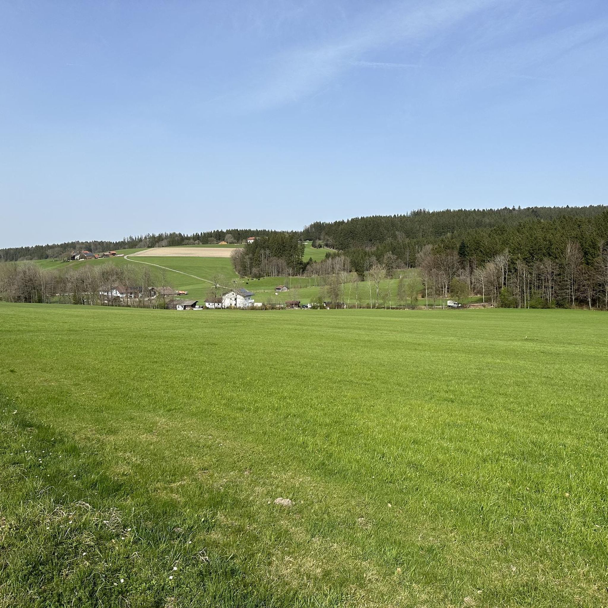
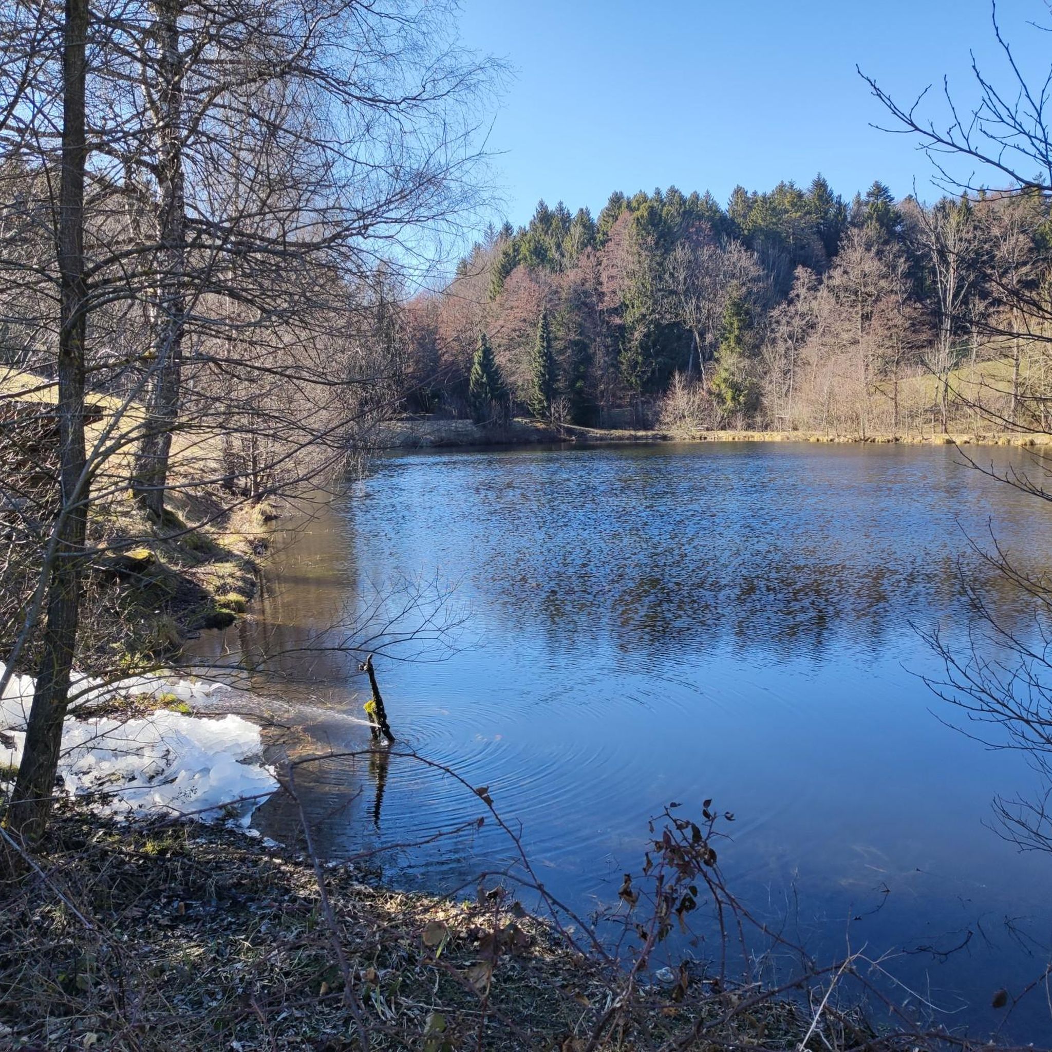
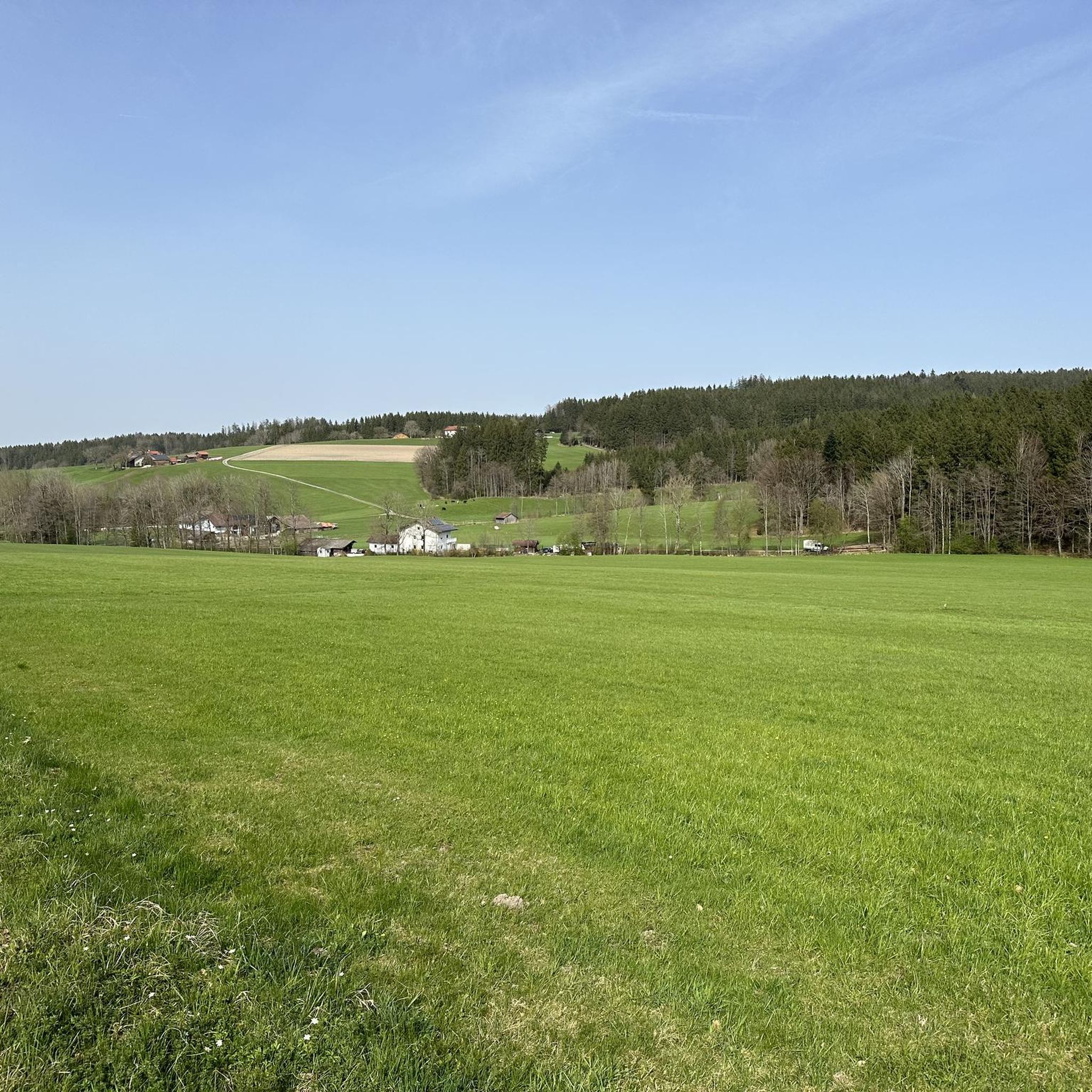
Tips from the Community

The viewing platform is easily accessible on foot from the farm below. Unfortunately, the view is increasingly obscured by the growing trees.
0
0

Göblberg lookout tower – One of the most beautiful viewpoints in the Hausruckviertel Anyone who simply drives past here misses out on one of the region's most beautiful panoramas. After climbing the wooden tower, a breathtaking 360° panoramic view opens up in clear weather – from the Höllengebirge, Traunstein, Dachstein and the peaks of the Salzkammergut, far into the Alpine foothills. The tower is located at an altitude of 790 m and is easily accessible by both bicycle and on foot. Quiet forest paths and forest roads around the Göblberg invite you to a relaxing tour. A unique atmosphere prevails here, especially at sunrise or sunset. 💡 My tip: Take a few minutes and definitely climb up – the view is worth every single step! With föhn wind or clear autumn air, the view often extends for many kilometers to the Alps.
0
0

...the actual highest point of the Hofberg with a small tree cross
1
0

ATTENTION: There are also riders on the entire routes and paths in Ampflwang. Please do NOT pass horses at full speed and drive around corners with foresight!
1
0


At this point you can plan the rest
0
0
A great rest area, shelter, nice to linger
0
0
Fantastic all-round view after 210 steps
3
0
Frequently Asked Questions
How many hiking trails are available around Redleiten?
Redleiten offers a diverse network of over 380 hiking routes. You'll find a wide range of options, including nearly 180 easy trails and almost 200 moderate paths, catering to various skill levels.
Are there family-friendly hiking options in Redleiten?
Yes, Redleiten is well-suited for families, with many easy trails available. A great option is the Hobelsberg (Ries´n) loop from Hochlehen, which is a shorter, pleasant walk through woodlands, perfect for a relaxed outing.
What kind of views can I expect on hikes around Redleiten?
The region is characterized by the expansive Kobernaußerwald forest, offering scenic forest views. Elevated points like Steiglberg provide picturesque panoramas. Many routes, such as the Fish ponds with guesthouse – Göblberg Observation Tower loop from Frankenburg am Hausruck, feature varied terrain and views towards the Göblberg Observation Tower.
Are there any challenging hikes near Redleiten?
While Redleiten primarily offers easy and moderate trails, there are a few more challenging options for experienced hikers. The region's varied terrain, including ascents to points like Steiglberg, can provide a good workout. You can find 8 routes classified as difficult in the area.
What do other hikers enjoy most about hiking in Redleiten?
The area is highly rated by the komoot community, with an average score of 4.6 stars from over 600 reviews. Hikers often praise the quiet woodlands of the Kobernaußerwald, the varied landscapes, and the well-maintained paths that offer both forest sections and open views.
Can I find circular hiking routes in Redleiten?
Yes, Redleiten features many circular routes, allowing you to start and end your hike in the same location. An example is the Göblberg Observation Tower – Hagler Marterl loop from Frankenburg am Hausruck, which offers a complete circuit through forest sections and open vistas.
Are there any notable landmarks or attractions to see while hiking?
Absolutely. The Göblberg Observation Tower is a prominent landmark offering excellent views. Other points of interest include the Kohlhofer Kreuz Summit Cross and the Kalteis Hut, which are often part of longer routes.
What is the best time of year to go hiking in Redleiten?
Redleiten offers pleasant hiking experiences throughout much of the year. Spring and autumn provide comfortable temperatures and beautiful scenery with changing foliage. Summer is also popular, especially for forest trails that offer shade. Winter hikes are possible, though conditions may vary.
Are there any long-distance hiking options in the Redleiten area?
While many routes are day hikes, the extensive network within the Kobernaußerwald allows for longer excursions by combining trails. Routes like the Göblberg Observation Tower – Göblberg Observation Tower loop from Frankenburg am Hausruck cover significant distances, providing a more extended experience in the region.
Are dogs allowed on the hiking trails in Redleiten?
Generally, dogs are welcome on hiking trails in Redleiten and the Kobernaußerwald. However, it's always recommended to keep them on a leash, especially in areas with wildlife or near agricultural land, and to be mindful of local regulations and other hikers.
Are there opportunities for refreshments or pubs along the hiking routes?
Some routes, particularly those passing through or near villages, may offer opportunities for refreshments. For example, the Fish ponds with guesthouse – Göblberg Observation Tower loop from Frankenburg am Hausruck mentions a guesthouse, indicating places where you might find food and drink.
Is public transport available to access hiking trails in Redleiten?
Access to trails in Redleiten primarily relies on personal transport due to the rural nature of the Kobernaußerwald. While some villages may have limited bus connections, planning your hike with a car is generally the most convenient way to reach trailheads.
Where can I park when hiking in Redleiten?
Parking is typically available at the start points of many popular trails, often in designated hiking car parks or near local amenities in villages. It's advisable to check specific route details on komoot for recommended parking locations.
Most popular attractions around Redleiten

Get inspired with the komoot mobile app


Explore more
Browse the best Hikes in other regions.
