The best running trails around Ronciglione
4.8
(6)
692
runners
79
runs
Jogging around Ronciglione offers a diverse landscape for runners, characterized by its proximity to Lake Vico and the surrounding volcanic hills. The region features extensive beech forests, open countryside, and historic town centers, providing varied terrain for running. Trails often include lakeside paths, forest tracks, and routes through charming local villages.
Best jogging routes around Ronciglione
- The most popular jogging route is Lake Vico – Monte Venere Beech Forest loop from Caprarola, a 9.5 miles (15.3 km) trail that…
Last updated: July 5, 2026
29
runners
15.3km
01:43
290m
290m
Hard run. Very good fitness required. Mostly paved surfaces. Suitable for all skill levels.
5.0
(1)
22
runners
Moderate run. Good fitness required. Mostly paved surfaces. Suitable for all skill levels.

Sign up for free
20
runners
7.53km
00:47
40m
40m
Moderate run. Good fitness required. Mostly paved surfaces. Suitable for all skill levels.
13
runners
8.29km
00:54
130m
130m
Moderate run. Good fitness required. Mostly paved surfaces. Suitable for all skill levels.
14
runners
14.6km
01:31
80m
80m
Moderate run. Good fitness required. Mostly paved surfaces. Suitable for all skill levels.
Get access to more routes and recommendations from other explorers.
Sign up for free
Already have an account?
Our route recommendations are based on thousands of hikes, rides, and runs completed by other people on komoot.
Start today with a free account
Your next adventure awaits.
Login or Signup

Tips from the Community

Bilious Monte Cimino towards Viterbo
0
0


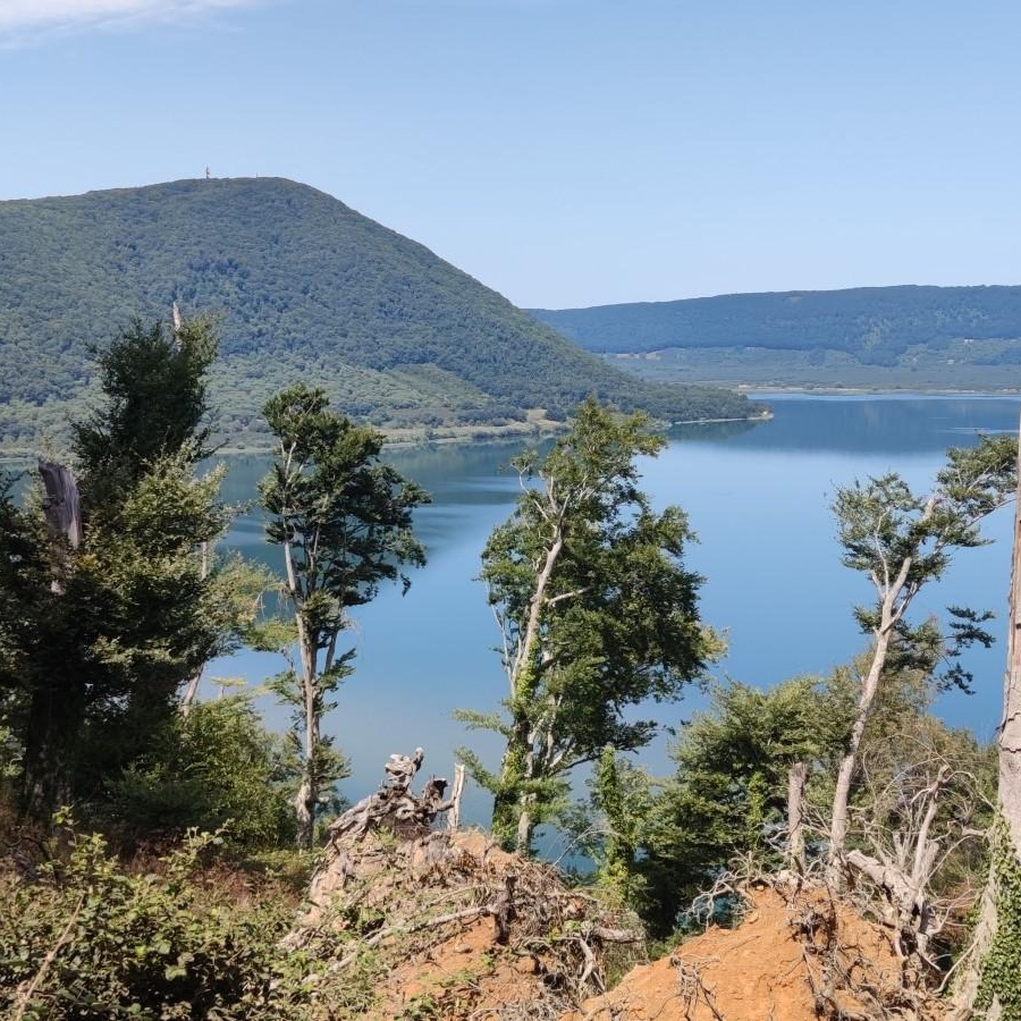
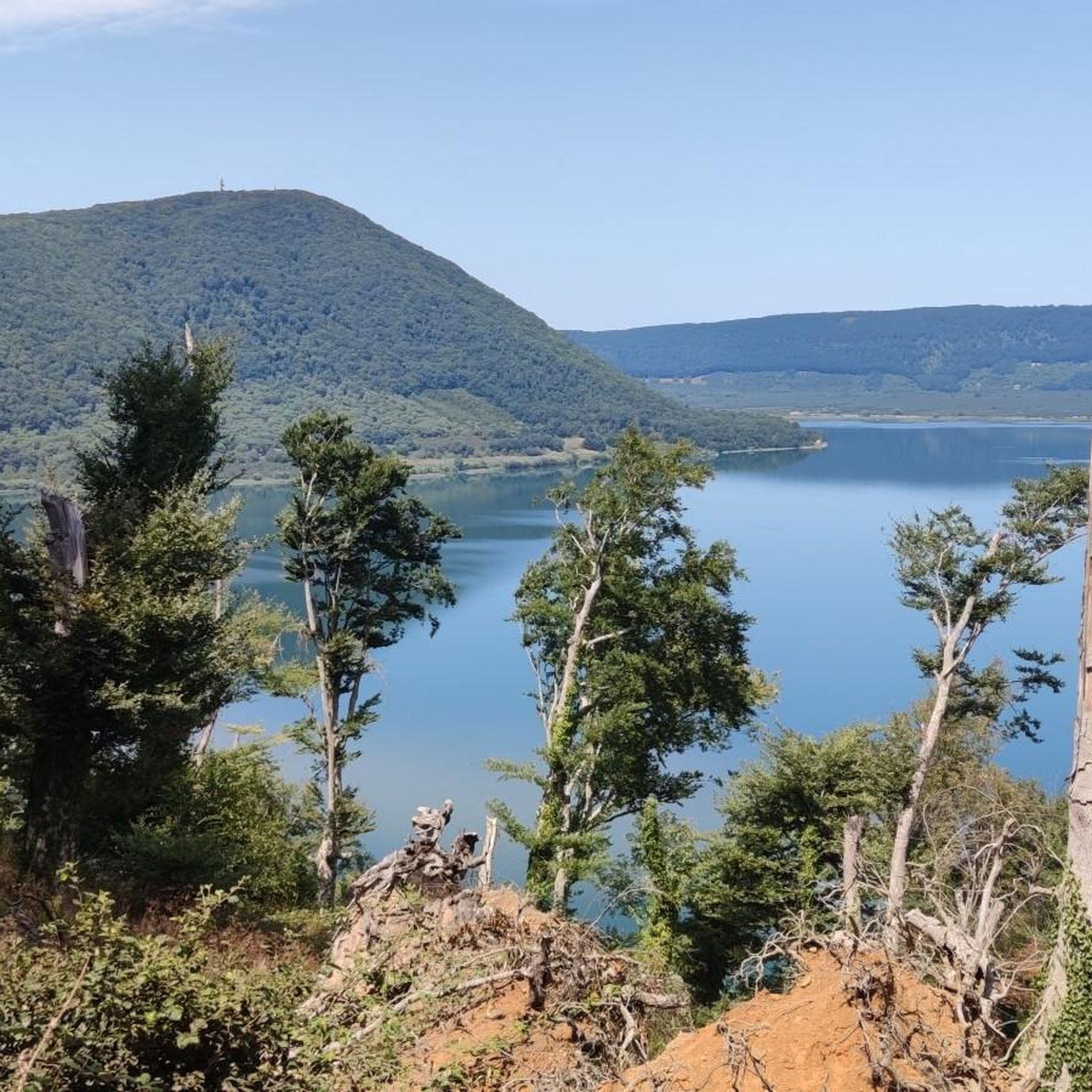
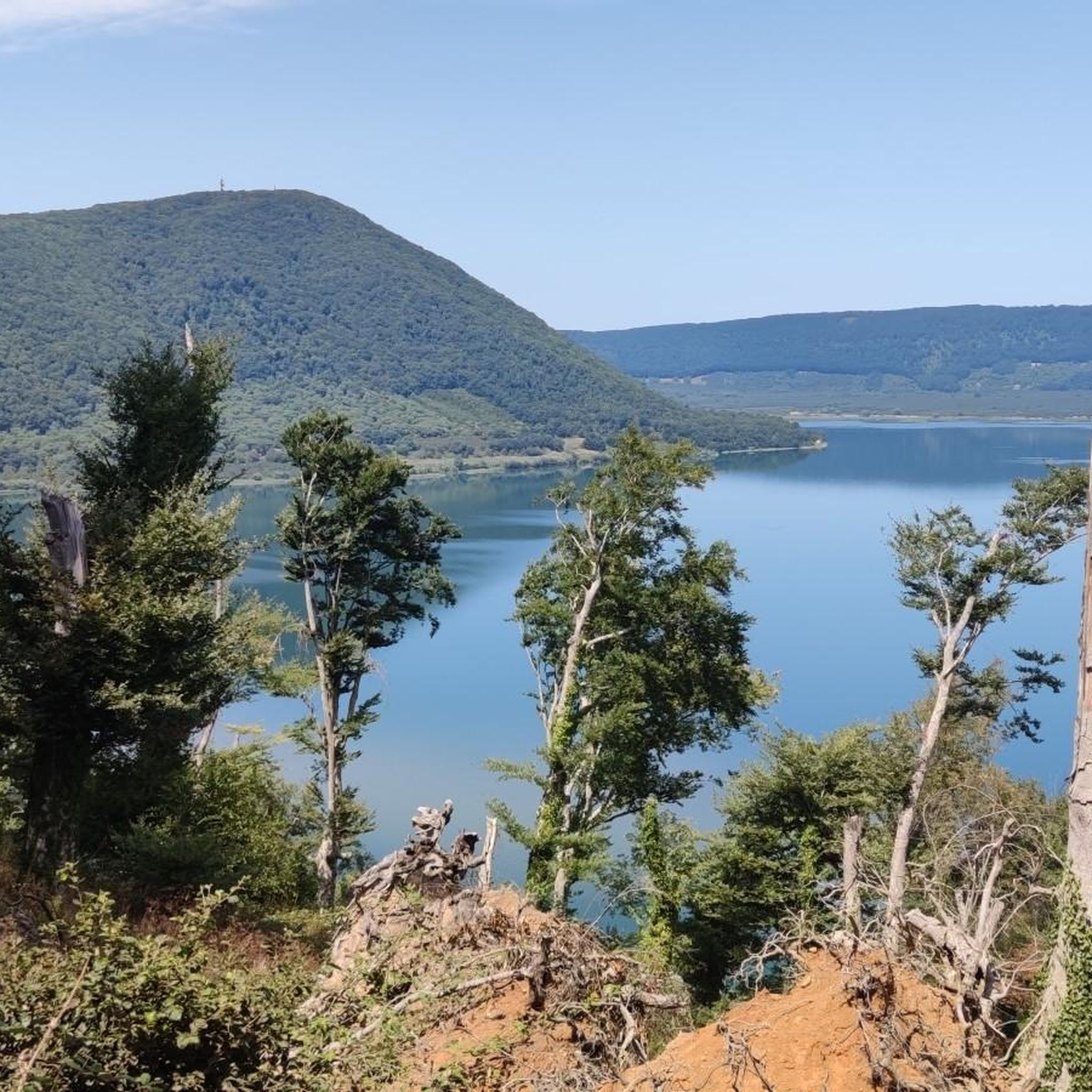
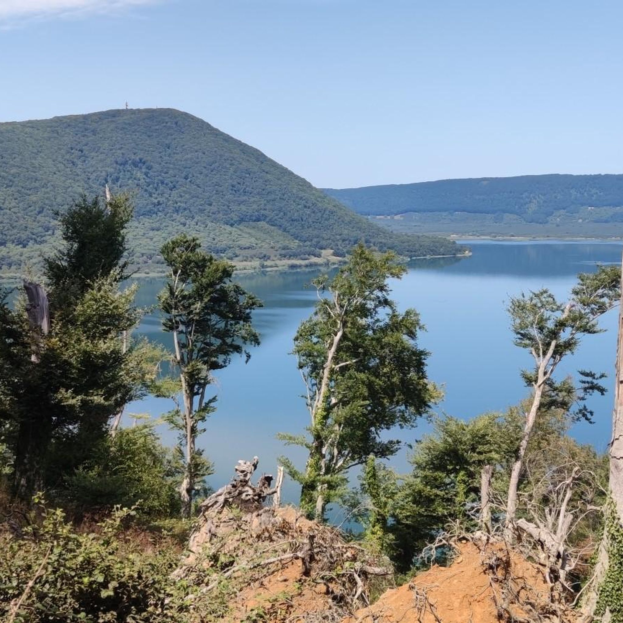
Very suggestive area and wonderful panorama with the Vico lake at the foot of Monte Fogliano as the protagonist. There is also a small wooden house used to admire the many varieties of birds that live in the reserve.
0
0

Quiet road with little traffic along the east coast of Lake Vico, an alternative to the Cimina road. Don't forget your towel and swimsuit in the summer.
2
0

A record-breaking lake of volcanic origin in Italy! It is in fact the first in Italy in altitude among the great lakes, with its 507 m asl. It is surrounded by the mountainous complex of the Cimini mountains; among the most important are Mount Fogliano (965 m) and Mount Venus (851 m).
2
0

This beech forest is really special because it is located below 600 meters above sea level. Usually the beech trees grow between 800 and 1800 m above sea level, but here they are found well below these altitudes. For this reason the beech forest of Monte Venere is also called depressed beech forest.
0
0

beautiful beech forest and comfortable picnic area
0
0
beautiful path around the lake of Vico and its beech forest
0
0
Frequently Asked Questions
How many running routes are available around Ronciglione?
There are over 50 dedicated running routes around Ronciglione listed on komoot. These routes cater to various fitness levels, with 4 easy, 37 moderate, and 15 difficult options.
Are there easy running trails suitable for beginners or families in Ronciglione?
Yes, Ronciglione offers several easy running trails perfect for beginners or families. You can find 4 routes specifically rated as easy. These often feature gentler terrain and shorter distances, making them ideal for a relaxed run or a family outing.
Can I find circular running routes around Ronciglione?
Absolutely. Many of the running routes in the Ronciglione area are circular, allowing you to start and finish at the same point. For example, the Rocca loop from Ronciglione is a moderate 5.2-mile (8.3 km) trail that takes you through the historic Rocca area.
What kind of scenery can I expect on the running trails near Ronciglione?
The running trails around Ronciglione offer diverse and beautiful scenery. You'll encounter picturesque lakeside paths along Lake Vico, tranquil passages through ancient beech forests, and routes that wind through charming historic villages. The region's volcanic hills also provide varied terrain and occasional viewpoints.
Are there any running routes that pass by historical sites or natural monuments?
Yes, several routes offer glimpses of the region's rich history and natural beauty. For instance, the Historic Center of Sutri – Sutri Archaeological Park loop from Sutri takes you past significant historical landmarks. You might also encounter natural monuments like the Devil’s Well Cave (Monte Venere) or the Corchiano Historic Village and Gorges on various trails.
What are some notable landmarks or points of interest near the running trails?
Beyond the trails themselves, the Ronciglione area is rich in landmarks. You can explore the impressive Palazzo Farnese of Caprarola, the historic Historic Center of Sutri, or the medieval Rocca dei Torrioni of Ronciglione. Many routes offer opportunities to see these sites or are located nearby.
Are there any running routes with good viewpoints in the Ronciglione area?
Given Ronciglione's location amidst volcanic hills and near Lake Vico, many routes offer scenic viewpoints. Trails that ascend into the surrounding hills, such as those around Monte Venere, often provide panoramic vistas of the lake and the lush landscape. While specific viewpoints aren't always named, the elevation changes on routes like the Lake Vico – Monte Venere Beech Forest loop from Caprarola will reward you with expansive views.
What do other runners say about the trails in Ronciglione?
The running routes in Ronciglione are highly regarded by the komoot community, boasting an average rating of 4.9 stars from over 7 reviews. Runners frequently praise the varied terrain, the beauty of Lake Vico, and the peaceful passages through the ancient beech forests.
Are there any hidden gem running trails around Ronciglione that are less crowded?
While popular routes like those around Lake Vico can attract visitors, the region's extensive network of trails means you can often find quieter paths. Exploring some of the moderate trails further from the main lake access points, such as the Running loop from Tre Croci, might offer a more secluded experience through the countryside and forests.
What is the typical length and difficulty of running routes in Ronciglione?
The running routes in Ronciglione vary significantly in length and difficulty. You'll find everything from shorter, easy runs to more challenging, longer trails. For example, a moderate route like the Monte Venere Beech Forest – Lake Vico loop from Riserva Naturale Regionale Lago di Vico is about 6.3 miles (10.2 km), while more difficult options can extend to over 9 miles (15 km).
Is Ronciglione a good place for trail running in winter?
Ronciglione's climate is generally mild, making it possible to run year-round. However, winter conditions can bring cooler temperatures and potentially muddy trails, especially in forested areas. It's advisable to check local weather forecasts and trail conditions before heading out and to wear appropriate gear for colder, potentially wet weather.
Most popular attractions around Ronciglione

Get inspired with the komoot mobile app


Explore more
Browse the best Running Trails & Routes in other regions.
