The best running trails around Civitella Casanova
5.0
(5)
224
runners
33
runs
Jogging routes around Civitella Casanova traverse a diverse topography, ranging from 240 meters to 1,581 meters, encompassing hills and mountains. The region is situated at the foot of Mount Cona, within the Gran Sasso and Monti della Laga National Park, and the Regional Reserve Voltigno and Valle d'Angri. This area features extensive beech, oak, and fir forests, along with the Piana del Voltigno, a karst formation at approximately 1,300 meters above sea level. Rivers like the Schiavone and Festina also…
Last updated: July 5, 2026
9
runners
26.6km
03:39
830m
830m
Hard run. Very good fitness required. Sure-footedness, sturdy shoes and alpine experience required.
29
runners
19.8km
02:57
1,030m
1,030m
Hard run. Very good fitness required. Mostly paved surfaces. Suitable for all skill levels.

Sign up for free
13
runners
10.1km
01:14
220m
220m
Moderate run. Good fitness required. Mostly paved surfaces. Suitable for all skill levels.
5.0
(2)
10
runners
6.13km
00:40
120m
110m
Moderate run. Good fitness required. Mostly paved surfaces. Suitable for all skill levels.
4
runners
14.3km
01:36
320m
320m
Hard run. Very good fitness required. Mostly paved surfaces. Suitable for all skill levels.
Get access to more routes and recommendations from other explorers.
Sign up for free
Already have an account?
Our route recommendations are based on thousands of hikes, rides, and runs completed by other people on komoot.
Start today with a free account
Your next adventure awaits.
Login or Signup

Tips from the Community

De Porta San Francesco is the most monumental and iconic city gate of the historic town of Penne, located on four hills. The gate forms the main entrance to the medieval center and is a striking example of local architecture. The gate owes its name to Francis of Assisi, who according to legend visited Penne on September 16, 1216. He came to the city at the time to establish peace between two violent, rival family clans. In memory of this historic visit, the original medieval city gate was later named after him. Although the origin of the gate is medieval, its current baroque appearance dates from 1780 (with later adjustments around 1870). The gate, to be renovated, came from the drawing board of architect Francesco Di Sio and was completely rebuilt, along with the adjacent buildings. Since then, they have formed a monumental, stylish entrance to 'the city of brick'. Bonus: if you stand in front of the gate and look closely, you will see the patron saint of Penne, San Massimo, at the top of the gate.
5
0
The round church of San Nicola was built in the 19th century to a design by engineer Dottorelli. From the outside, its unusual shape is immediately striking: a cylindrical building that, interrupted by pilasters, rises above the lower annexes of the church. On the side of Corso Alessandrini, the church has a simple brick facade, adorned with a small aedicule and a triangular tympanum. On the side of Largo San Francesco, the bell tower particularly catches the eye, with its double arched opening and tympanum-shaped crowning. Together, these elements give the church a restrained yet characteristic appearance.
3
0

Lake Penne is an enchanting body of water located in the enchanting region of Abruzzo. With its serene waters and surrounded by breathtaking scenery, Lake Penne offers a perfect oasis of tranquility and natural beauty. A ring tour around the lake allows you to admire its different facets and immerse yourself completely in the magical atmosphere of Abruzzo.
0
0
Penne is a charming medieval village perched on a hill, characterized by picturesque streets and a rich historical and artistic heritage. https://www.abruzzocitta.it/comune/penne/
0
0
Monte Cappucciata is one of the peaks that make up the Gran Sasso massif, located in the Gran Sasso and Monti della Laga National Park.
0
0

the Porta di San Francesco is built entirely of bricks, in the niche placed on its top there is the representation of the Patron Saint of the city (San Massimo). On the portal there is a plaque commemorating the visit of San Francesco to Penne in 1216. Looking frontally at the Porta di San Francesco, it is possible to see a fifteenth-century tower on the left and the church of San Nicola on the right.
2
0

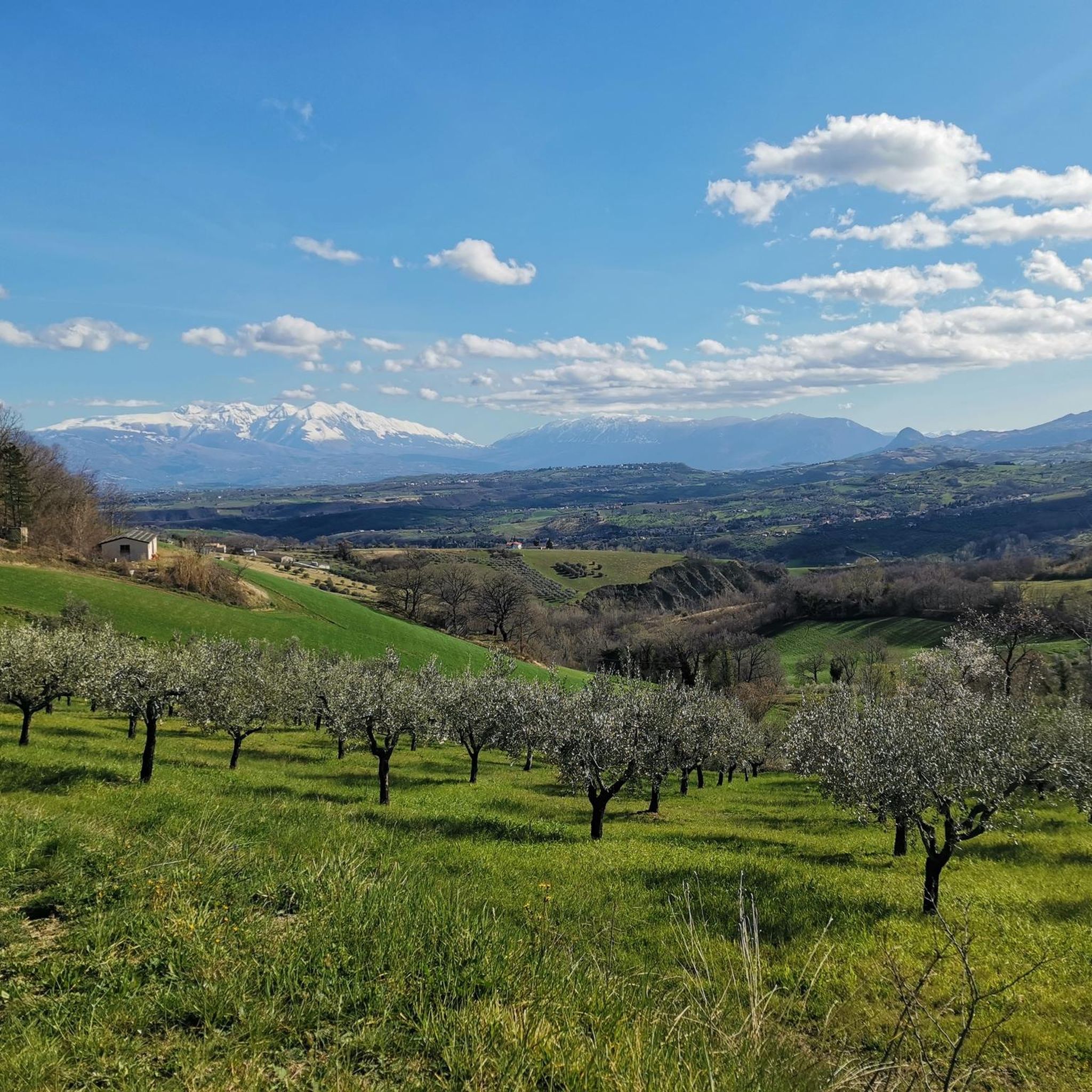
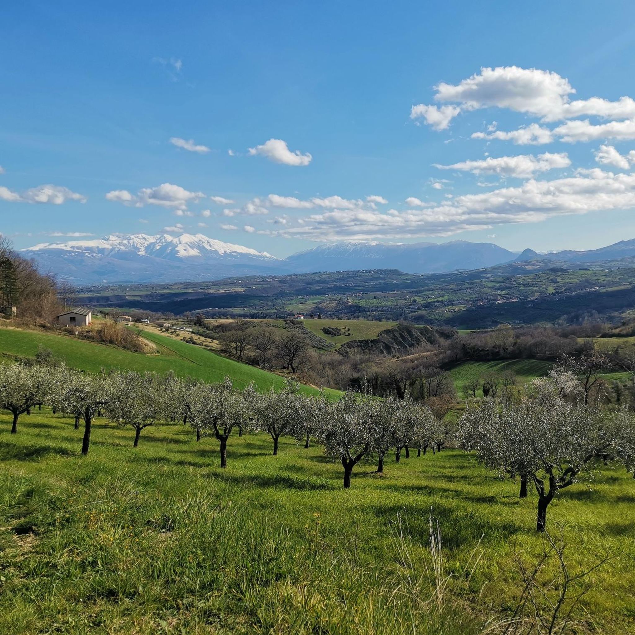
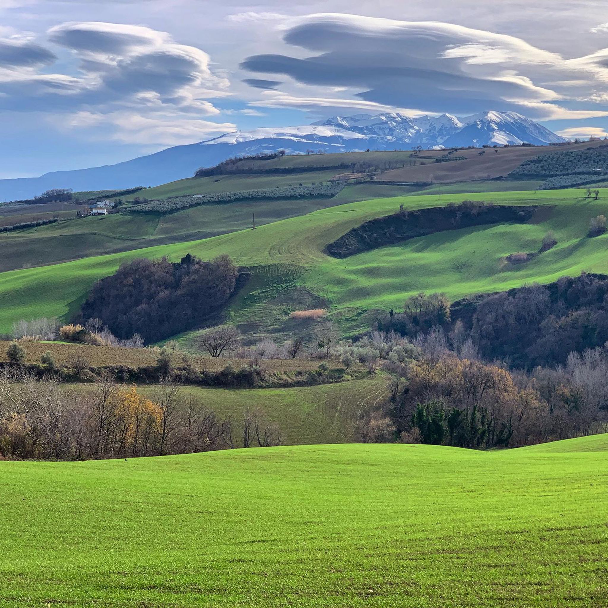
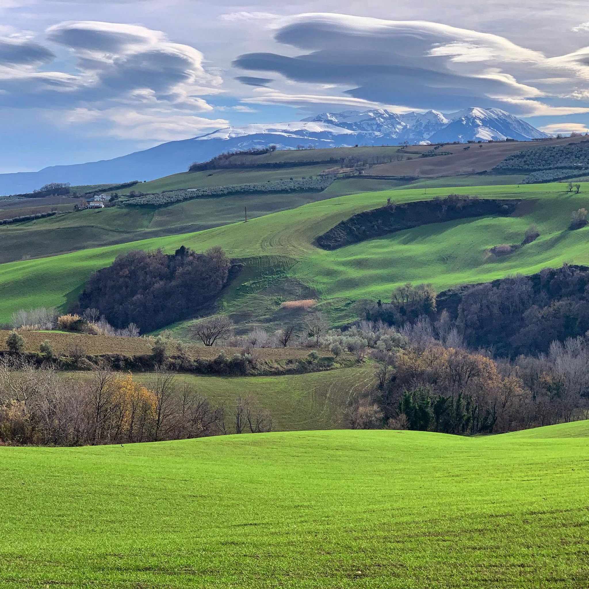
Monte Cappucciata offers a beautiful panorama, and is located at 1800 meters high. The panorama includes the Gran Sasso massif, the Sirente-Velino and La Majella.
2
0
Frequently Asked Questions
How many running routes are available around Civitella Casanova?
There are over 20 running routes available for jogging around Civitella Casanova. These trails offer a wide range of experiences, from easy paths to very challenging mountain runs, catering to different fitness levels.
What do other runners say about the jogging trails in Civitella Casanova?
The running routes in Civitella Casanova are highly rated by the komoot community, with an average score of 5.0 stars from over 4 reviews. Runners often praise the diverse topography, lush forests, and the opportunity to immerse themselves in the natural beauty of the Gran Sasso and Monti della Laga National Park.
What kind of terrain can I expect on the running trails near Civitella Casanova?
The terrain around Civitella Casanova is incredibly varied, ranging from 240 meters to 1,581 meters in elevation. You'll find everything from gentle hills to high mountains, with paths winding through extensive beech, oak, and fir forests, as well as unique karst formations like the Piana del Voltigno. This diversity allows for a wide range of running experiences.
Are there running routes suitable for beginners or those looking for an easy jog?
Yes, while many routes are challenging, there are options for easier jogs. For instance, the Sunset View Over the Hills loop from Agriturismo Olivuccia is a moderate 6.1 km route with less elevation gain, offering a pleasant experience for those seeking a more relaxed run.
Where can I find more challenging or long-distance running trails?
For experienced runners seeking a challenge, Civitella Casanova offers several difficult and long-distance routes. The Sasso Vivo – Rifugio Pantani loop from Villa Celiera is a demanding 35.5 km trail with significant elevation, while the Rifugio Pantani loop from Villa Celiera provides a difficult 19.8 km path through mountainous terrain.
Are there any circular running routes in the area?
Yes, many of the running routes around Civitella Casanova are circular, allowing you to start and end at the same point. Examples include the Running loop from Parco Nazionale di Gran Sasso e Monti della Laga and the Sasso Vivo loop from Parco Nazionale di Gran Sasso e Monti della Laga, offering convenient options for your run.
What natural features or landmarks can I see along the jogging routes?
The routes are rich with natural beauty. You might encounter the unique karst formations of the Piana del Voltigno, lush forests, and rivers like the Schiavone and Festina. Keep an eye out for the Rivo Clear waterfall, which freezes in winter, and the small karst Lake Background. For stunning vistas, consider routes that pass by viewpoints such as View of the Majella and Gran Sasso.
Are there any specific points of interest or attractions near the running trails?
Beyond the natural landscapes, you can find interesting points of interest. Some routes offer views of peaks like Mount Cappucciata or Monte Tremoggia. For a unique experience, the 'La Rupe' Zoo Park and Botanical Park in the Furnace district offers a structured natural setting with diverse plant varieties and wildlife exhibitions, suitable for light jogging or a post-run stroll.
Is Civitella Casanova a good destination for trail running within a national park?
Absolutely. Civitella Casanova is ideally located at the foot of Mount Cona, within the Gran Sasso and Monti della Laga National Park, and the Regional Reserve Voltigno and Valle d'Angri. This provides direct access to pristine natural environments and an extensive network of trails perfect for trail running, offering diverse ecosystems and scenic views.
Are there any routes that pass by water features like lakes or rivers?
Yes, the area is enriched by several water features. The municipal district is home to the confluence of the Schiavone and Festina rivers. You might also encounter the source of Rivo Clear, which forms a waterfall, and the small karst Lake Background, fed by winter snowfall. While not directly on all jogging routes, these features are part of the broader natural landscape.
What is the best time of year to go running in Civitella Casanova?
Civitella Casanova offers running opportunities year-round, but the best time largely depends on your preference. Spring and autumn provide pleasant temperatures and vibrant scenery, with spring showcasing karst lakes and grazing animals on the Piana del Voltigno. Summer is ideal for higher altitude trails, while winter offers a unique experience, with features like the Rivo Clear waterfall freezing over, though some trails may require specific gear.
Are there any running routes that offer panoramic views?
Given the significant elevation range and mountainous terrain, many routes offer spectacular panoramic views. Trails that ascend to higher altitudes, such as those around Mount Cona or within the Gran Sasso and Monti della Laga National Park, frequently provide breathtaking vistas of the surrounding landscapes, including the View of the Majella and Gran Sasso.
Most popular routes around Civitella Casanova
Most popular attractions around Civitella Casanova

Get inspired with the komoot mobile app


Explore more
Browse the best Running Trails & Routes in other regions.
