The best walks and hikes around Castelli
4.3
(715)
4,011
hikers
116
hikes
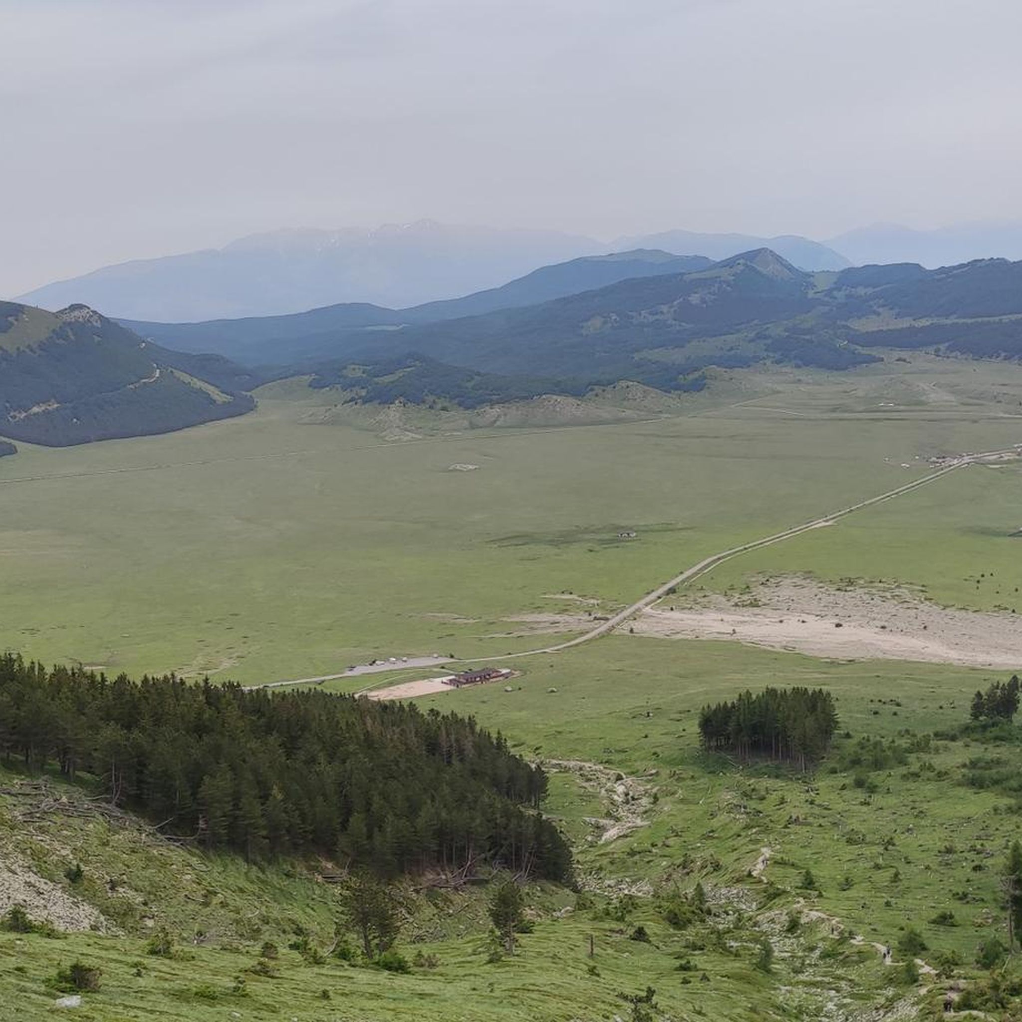
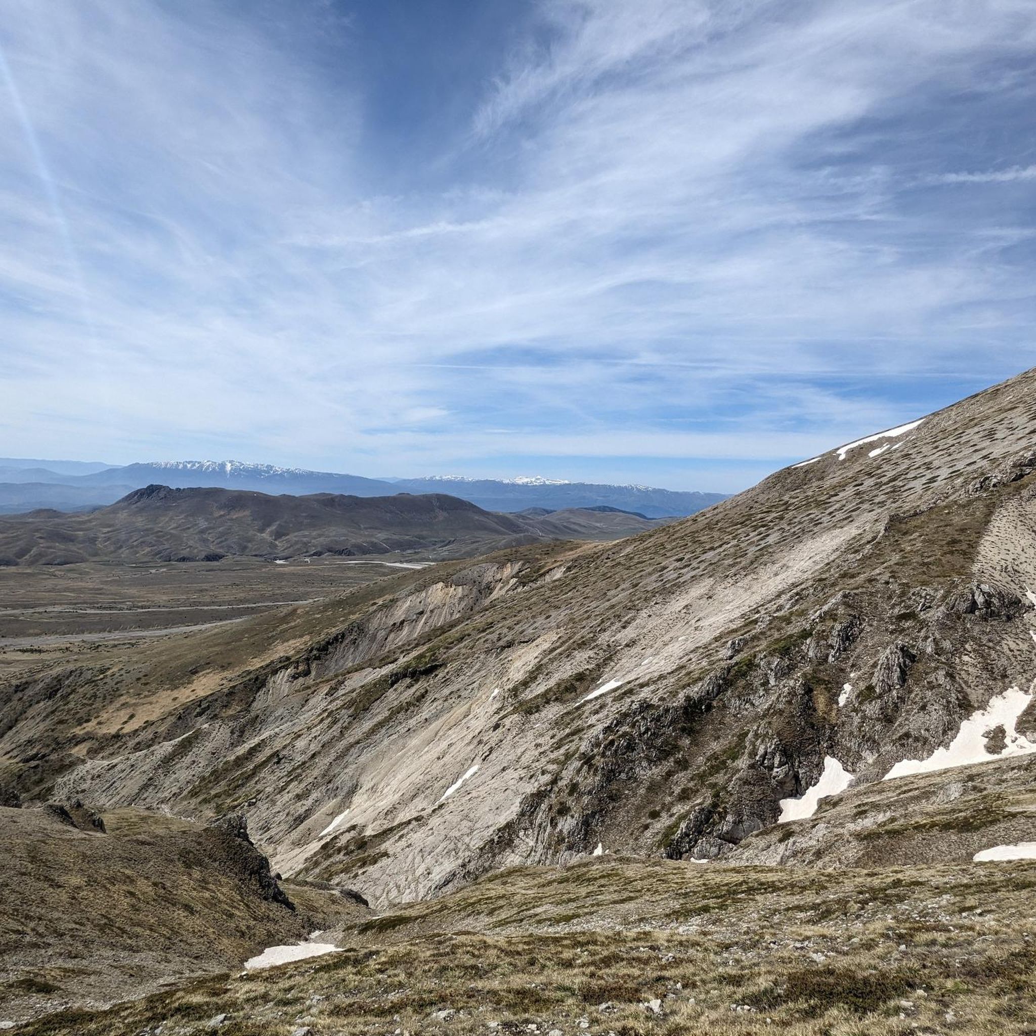
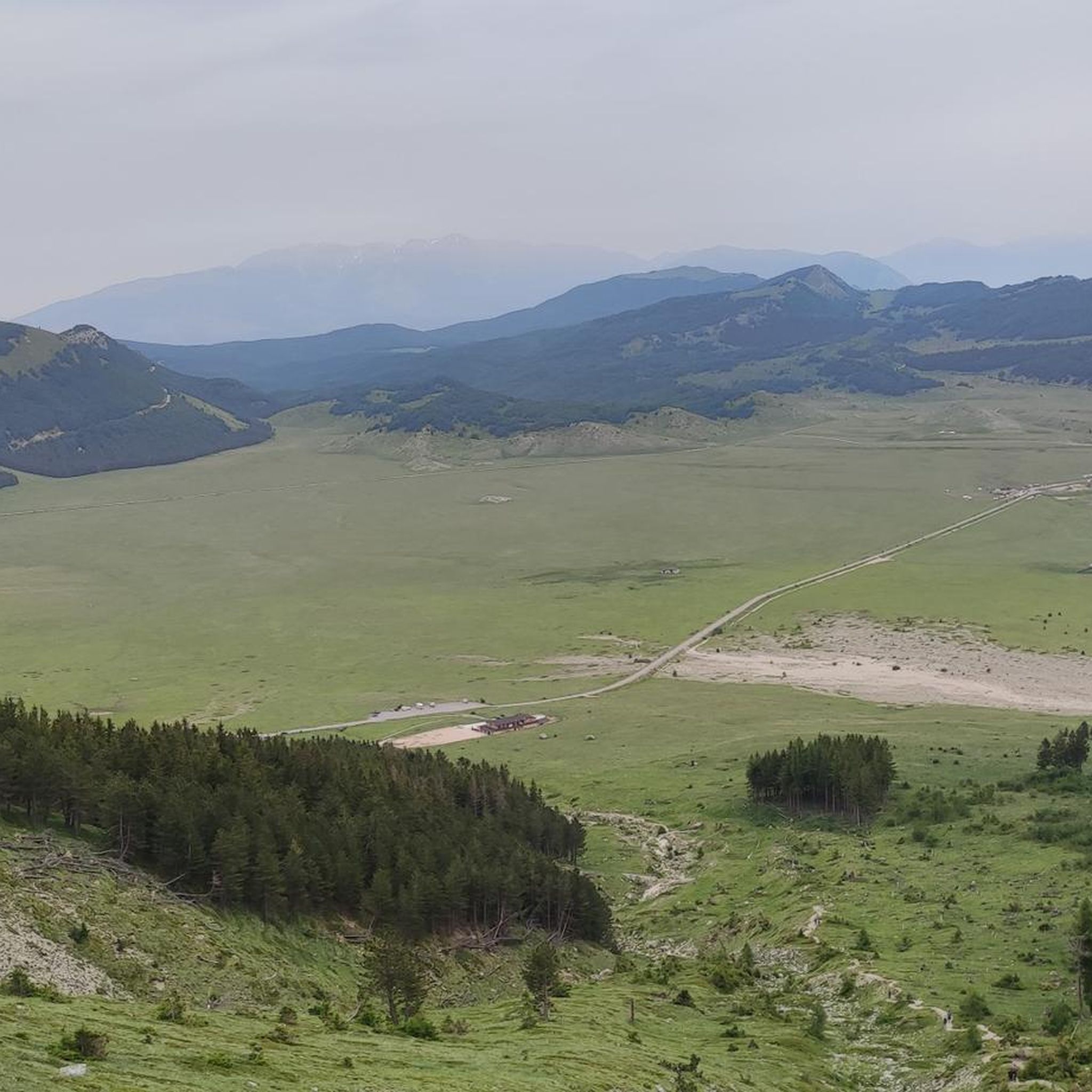
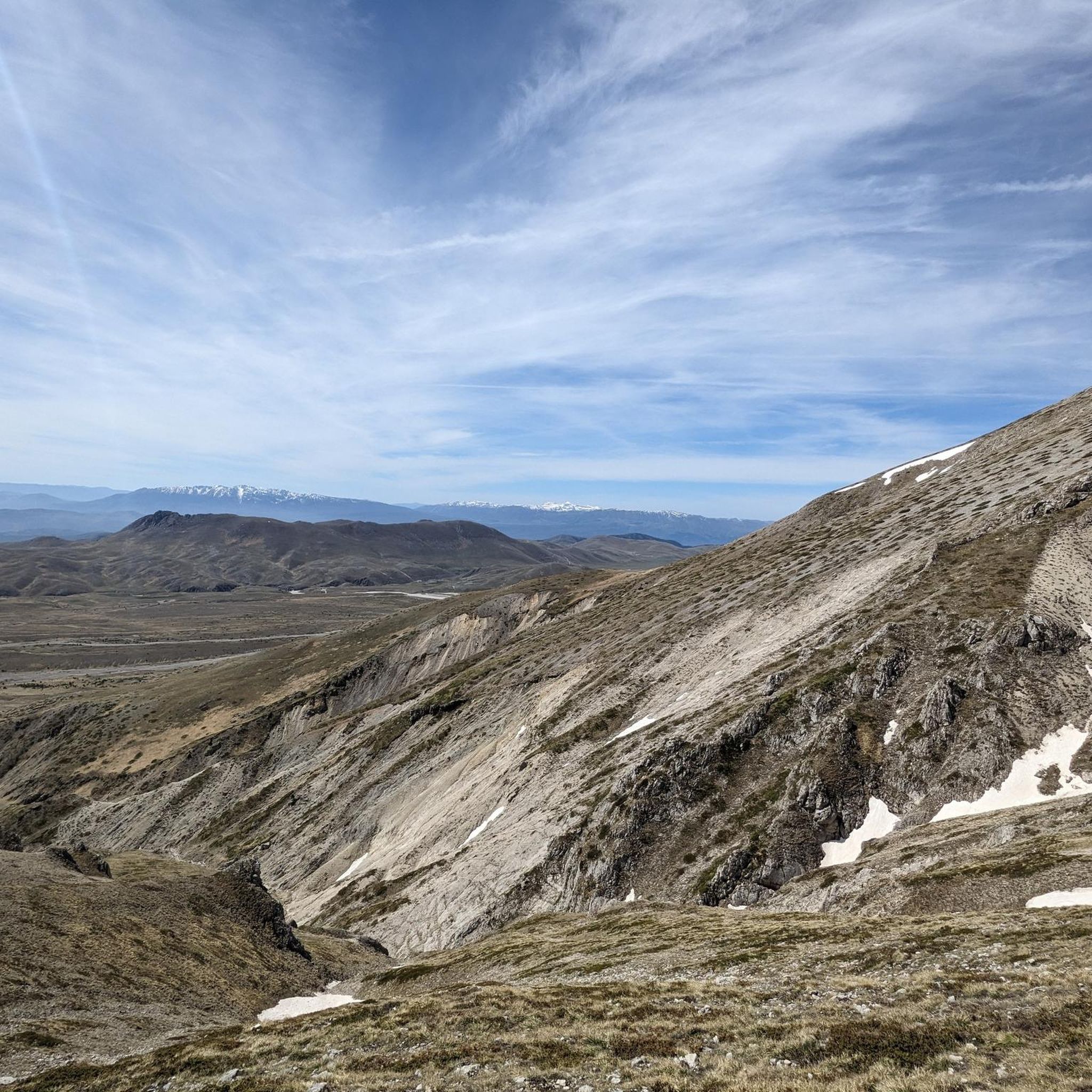
Hiking around Castelli offers access to the diverse landscapes of the Gran Sasso e Monti della Laga National Park. The terrain features prominent peaks like Monte Camicia and Monte Prena, alongside high-altitude plateaus and valleys. Water features such as Le Cascate del Ruzzo and Lago di Pagliara add to the varied scenery, providing a mix of challenging ascents and more gentle routes.
Best hiking trails around Castelli
- The most popular hiking route is Climb Monte Camicia from rifugio Fonte Vetica…
Last updated: October 10, 2026
4.7
(11)
52
hikers
Moderate hike. Good fitness required. Easily-accessible paths. Suitable for all skill levels.
5
hikers
13.9km
07:27
1,690m
1,690m
Ascend Monte Prena from Lago di Pagliara on this difficult 8.6-mile hike, gaining 5551 feet for panoramic views of Gran Sasso.

4.5
(2)
13
hikers
6.75km
02:30
420m
420m
Moderate hike. Good fitness required. Easily-accessible paths. Suitable for all skill levels.
4.5
(2)
24
hikers
13.0km
04:36
730m
730m
Moderate hike. Good fitness required. Easily-accessible paths. Suitable for all skill levels.
5.0
(3)
19
hikers
14.7km
08:05
1,500m
1,500m
Hard hike. Very good fitness required. Sure-footedness, sturdy shoes and alpine experience required.
Get access to more routes and recommendations from other explorers.
Already have an account?
Our route recommendations are based on thousands of hikes, rides, and runs completed by other people on komoot.
Start today with a free account
Your next adventure awaits.


Tips from the Community

Is the trail covered? Is it doable in summer with sun?
0
0


Going up you reach the hermitage of Santa Colomba, continuing on the left to the Ruzzo and Fossaceca/Venarossa waterfalls
0
0

Lake Pagliara is a pass between the mountains of the Gran Sasso d'Italia, at an altitude of 852 metres. There is no real lake, but a wetland fed by some springs. From here various hiking trails lead to Monte Prena, Vado Ferruccio and the ruins of the castle of Pagliara, an abandoned medieval fortification.
0
0
Monte Prena is a mountain of the Gran Sasso d'Italia 2,561 meters high. It is located on the eastern crest of the massif, between Monte Shirt and Monte Brancastello.
0
0
The Ruzzo waterfalls are a group of waterfalls located in the Gran Sasso and Monti della Laga National Park, in the province of Teramo. They are fed by three large springs which form the Ruzzo river. The most spectacular waterfall is the Vena Roscia, 16 meters high.
1
0

There are a number of waterfalls here, with the highest one at 16 metres. The waterfalls are fed by the important river present in this area: the Ruzzo river.
1
0

Since the route is constantly changing due to the snowmelt and meltwater, it is best to start at the car park near the small Colle Rustico pass behind the ceramic village of Castelli. Take the forest path at the picnic area and always follow the yellow-red markings to the end of the path. But be careful: when the snow melts, crossing the cirque, which has to be done several times, is very dangerous!!!
0
0
Frequently Asked Questions
How many hiking trails are available around Castelli?
There are over 100 hiking trails around Castelli, offering a wide range of experiences within the Gran Sasso e Monti della Laga National Park. These routes cater to various skill levels, from easy walks to challenging mountain ascents.
Are there easy or beginner-friendly hiking routes in Castelli?
Yes, Castelli offers 28 easy hiking routes suitable for beginners or those looking for a relaxed walk. These trails often explore the lower valleys and offer gentle gradients, perfect for enjoying the natural beauty without strenuous effort.
What kind of challenging hikes can I find near Castelli?
For experienced hikers, Castelli provides 33 difficult routes, many involving significant ascents into the Gran Sasso e Monti della Laga National Park. An example is the demanding Monte Prena from Lago di Pagliara Trail, which features substantial elevation gain and panoramic views.
Are there any circular hiking routes in the Castelli area?
Yes, many routes in Castelli are designed as circular tours, allowing you to start and end at the same point. A notable example is the Climb Monte Camicia from rifugio Fonte Vetica – ring tour, offering a complete loop through the mountain landscape.
What natural attractions can I see along the hiking trails near Castelli?
The region is rich in natural beauty. You can explore water features like Le Cascate del Ruzzo and Lago di Pagliara. Many trails also lead to prominent peaks such as Monte Camicia summit or Monte Tremoggia, offering stunning views of the Gran Sasso e Monti della Laga National Park.
Are there family-friendly hiking options around Castelli?
While many routes involve mountain terrain, there are easier trails suitable for families. Look for routes marked as 'easy' in the guide, which typically have less elevation gain and shorter distances, making them enjoyable for all ages.
What is the best time of year to go hiking in Castelli?
The best time for hiking in Castelli is generally from late spring to early autumn (May to October). During these months, the weather is milder, and the mountain trails are typically free of snow. Summer offers warm temperatures, while spring and autumn provide vibrant foliage and fewer crowds.
Can I hike in Castelli during winter?
Winter hiking in Castelli is possible but requires appropriate gear and experience due to snow and ice, especially at higher elevations. Some lower-altitude trails might be accessible, but many mountain paths become challenging and may require snowshoes or crampons. Always check local conditions and forecasts before heading out.
Are there any trails that feature waterfalls or lakes?
Yes, the Castelli area is known for its beautiful water features. You can find trails that lead to Le Cascate del Ruzzo and Lago di Pagliara. For example, the Le Cascate del Ruzzo e il Lago di Pagliara loop is a moderate route that highlights these natural wonders.
What do other hikers enjoy most about hiking in Castelli?
The area is highly rated by the komoot community, with an average score of 4.4 stars from over 500 reviews. Hikers often praise the diverse landscapes, from challenging mountain ascents to serene valleys, and the stunning views within the Gran Sasso e Monti della Laga National Park.
Are there any historical or cultural landmarks to explore near the trails?
Beyond the natural beauty, the region offers cultural points of interest. You might encounter charming villages or historical sites. For instance, the highlight Castel del Monte (Abruzzo) is a notable settlement in the broader area that can be explored.
Is public transport available to reach trailheads in Castelli?
Public transport options to specific trailheads in the mountainous Gran Sasso e Monti della Laga National Park can be limited. It's advisable to check local bus schedules for connections to Castelli or nearby towns. For more remote starting points, a car is often the most convenient option.
Where can I park my car when hiking in Castelli?
Many popular trailheads and rifugios (mountain huts) in the Castelli area, especially within the Gran Sasso e Monti della Laga National Park, offer designated parking areas. For example, routes starting from Rifugio Fonte Vetica usually have parking facilities nearby. Always look for official parking signs and be mindful of local regulations.
Most popular attractions around Castelli

Get inspired with the komoot mobile app


Explore more
Browse the best Hikes in other regions.
