The best walks and hikes around Reichstädt
4.6
(2188)
7,482
hikers
354
hikes
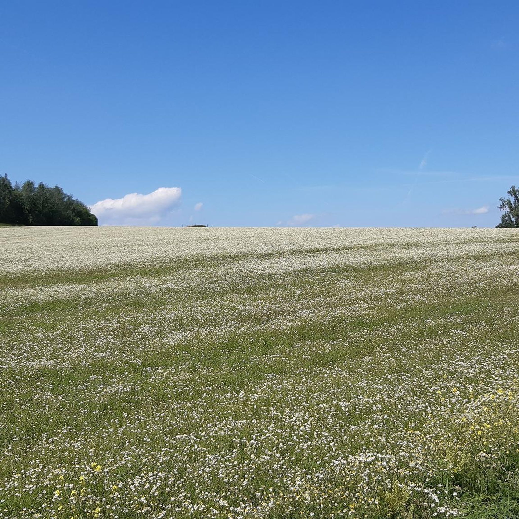
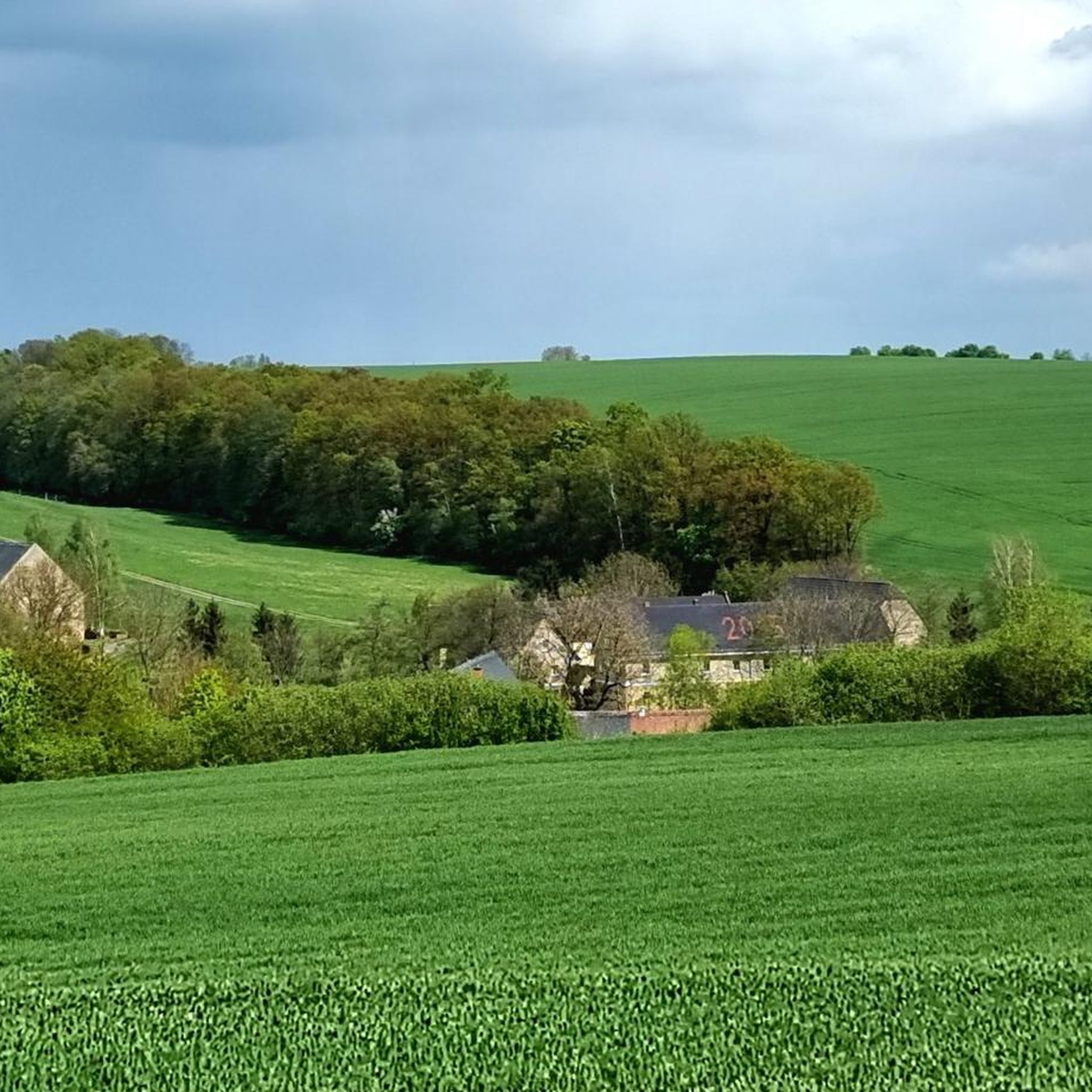
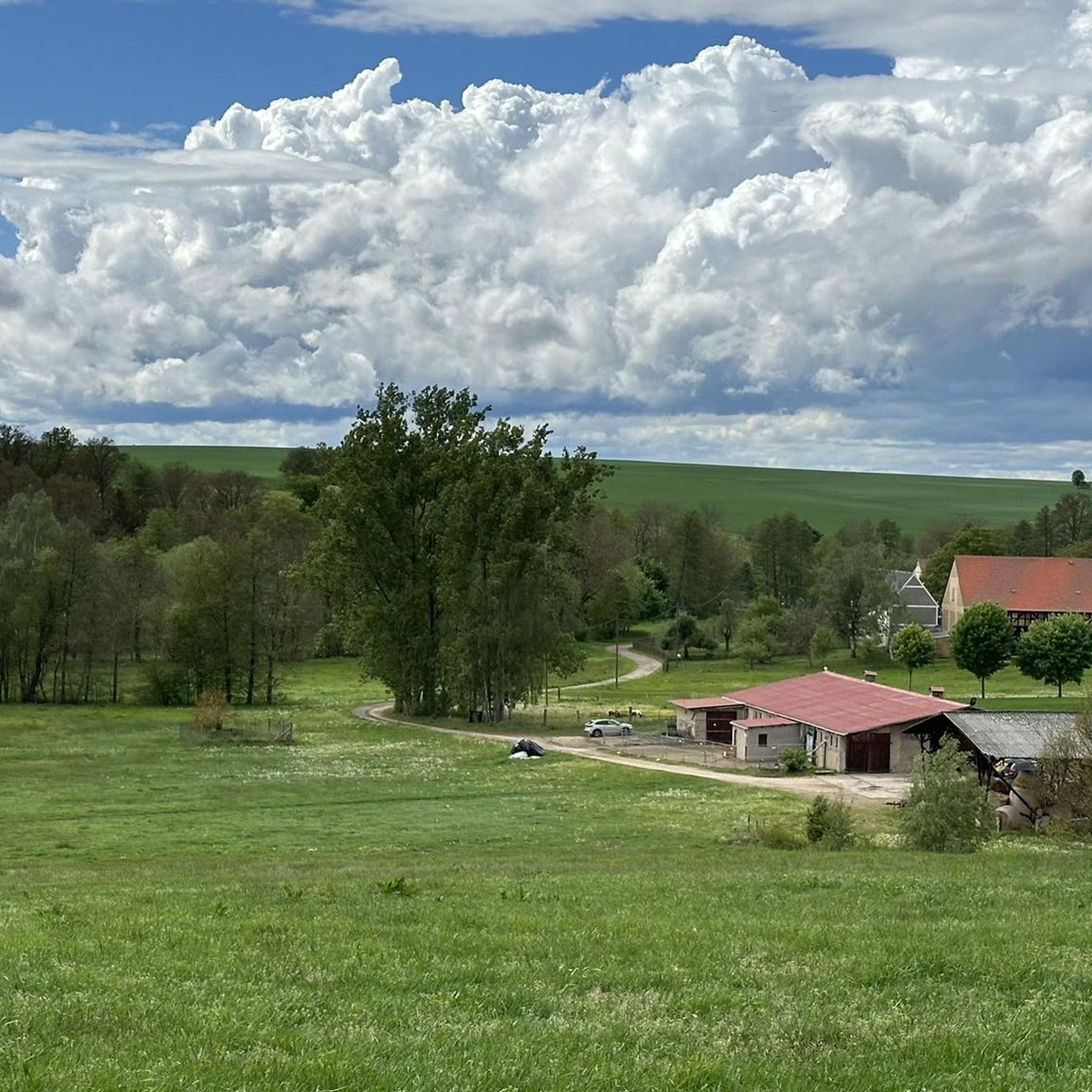
Hiking around Reichstädt offers diverse landscapes characterized by picturesque valleys, rolling hills, and extensive forests. The region features clear brooks and stream valleys, with some areas situated in the foothills of the Eastern Ore Mountains. This varied terrain provides a range of hiking experiences across meadows, woodlands, and open fields.
Best hiking trails around Reichstädt
- The most popular hiking route is Picnic Shelter by the Pond – Bockwindmühle Lumpzig loop from Lumpzig, a 4.4 miles (7.1 km) trail that…
Last updated: July 8, 2026
4.9
(8)
30
hikers
7.39km
01:58
80m
80m
Easy hike. Great for any fitness level. Easily-accessible paths. Suitable for all skill levels.
4.9
(8)
30
hikers
7.15km
01:54
70m
70m
Easy hike. Great for any fitness level. Easily-accessible paths. Suitable for all skill levels.

Sign up for free
5.0
(3)
18
hikers
Easy hike. Great for any fitness level. Easily-accessible paths. Suitable for all skill levels.
5.0
(3)
14
hikers
11.4km
02:58
90m
90m
Moderate hike. Good fitness required. Easily-accessible paths. Suitable for all skill levels.
5.0
(2)
9
hikers
Easy hike. Great for any fitness level. Easily-accessible paths. Suitable for all skill levels.
Get access to more routes and recommendations from other explorers.
Sign up for free
Already have an account?
Our route recommendations are based on thousands of hikes, rides, and runs completed by other people on komoot.
Start today with a free account
Your next adventure awaits.
Login or Signup

Tips from the Community

Nonsense, how does the user come up with such nonsense - the stone or slab is reminiscent of the 750th anniversary of Reichstaedt in 2006
0
0

Gigantic mural and some old transport vehicles from the Wismut era in the immediate vicinity.
2
0
Well-preserved mill, which is also open on some days of the year. For example, at Easter.🐣
2
0
Old open-cast mining area renaturalized.
2
0

A beautiful and idyllic hiking trail.
0
0
Small, beautiful pond between Prehna and Reichstädt. Ideal for a break.
1
0
The small hall church was built between 1800 and 1809 to replace a previous medieval building. It is covered with a hipped roof, on which sits a slate-covered turret, which consists of an eight-sided top with a hood. The church furnishings were created between 1853 and 1860. The organ with 11 registers, distributed over 2 manuals and a pedal, was built in 1855 by Christoph Opitz.
0
0
Usually the only thing you hear here are the frogs!
2
0
Frequently Asked Questions
How many hiking trails are available in Reichstädt?
There are over 360 hiking routes around Reichstädt, catering to various preferences and skill levels. You'll find a wide selection, from easy strolls to more challenging excursions.
Are there easy hiking trails suitable for beginners or families in Reichstädt?
Yes, Reichstädt offers numerous easy trails perfect for beginners and families. Over 210 routes are classified as easy, such as the Picnic Shelter by the Pond – Hartroda Church loop from Reichstädt, which is a gentle 6.5 km path. These trails often feature minimal elevation changes and pleasant scenery.
Can I bring my dog on the hiking trails around Reichstädt?
Many hiking trails in Reichstädt are dog-friendly, allowing you to explore the scenic landscapes with your canine companion. It's always recommended to keep dogs on a leash, especially in nature reserves or near livestock, and to respect local regulations.
Are there any circular hiking routes in Reichstädt?
Yes, many of the trails in Reichstädt are designed as circular routes, offering convenient starting and ending points. An example is the Picnic Shelter by the Pond – Bockwindmühle Lumpzig loop from Lumpzig, a 7.1 km easy trail that brings you back to your starting point.
What kind of natural features or landmarks can I expect to see while hiking in Reichstädt?
Reichstädt's hiking trails wind through picturesque valleys, rolling hills, and extensive forests. You might encounter clear brooks, stream valleys, and open meadows. Notable natural features include the Zaufensgraben gorge and the ancient Thousand-Year-Old Oak of Nöbdenitz. The region also benefits from its proximity to areas like the Rabenauer Grund, known for its idyllic natural beauty.
Are there any historical sites or cultural attractions accessible via hiking trails?
Yes, the region around Reichstädt offers historical and cultural points of interest. In Saxony, the historic Reichstädt Castle and its freely accessible park are ideal for leisurely strolls. You can also find sites like the Path to the Hügelgrab Burial Mound, offering glimpses into the area's past.
What is the best time of year to go hiking in Reichstädt?
Reichstädt is appealing for hiking throughout much of the year. Spring and autumn offer pleasant temperatures and vibrant natural colors, while summer provides longer daylight hours. Even in winter, some trails can be enjoyed, especially those with well-maintained paths, offering a serene, snow-covered landscape.
Is parking available at the trailheads in Reichstädt?
Parking is generally available near popular trailheads and starting points for hikes in Reichstädt. Many routes, especially those starting from villages or specific attractions, will have designated parking areas. It's advisable to check specific route details for precise parking information.
How can I reach the hiking trails in Reichstädt using public transport?
While specific public transport options vary, Reichstädt, particularly the district near Dippoldiswalde in Saxony, is close to the historic Weißeritztalbahn, a narrow-gauge steam railway that can provide access to the broader region. For routes in Thuringia, local bus services connect some villages. Planning your route in advance with local transport schedules is recommended.
What do other hikers say about their experiences in Reichstädt?
The hiking experiences in Reichstädt are highly regarded by the komoot community, with an impressive average rating of 4.6 stars from over 2000 reviews. Hikers often praise the diverse landscapes, the tranquility of the forests, and the well-maintained paths that make exploring the region a pleasure.
Are there any viewpoints offering panoramic views in the Reichstädt area?
Yes, the varied topography of Reichstädt, especially in the foothills of the Eastern Ore Mountains, provides opportunities for scenic views. You can find viewpoints such as the Schmirchauer Höhe — Grubengeleucht (Mining Lamp) Observation Tower, offering expansive vistas of the surrounding countryside.
Are there longer or more challenging hikes for experienced hikers?
While many trails are easy, Reichstädt also offers moderate options for those seeking a bit more challenge. For example, the View of the Fields – Landscape near Hirschfeld loop from Pölzig is an 11.4 km moderate trail that takes about 3 hours to complete, traversing varied landscapes and open fields. There are 143 moderate routes in total.
Can I find places to eat or stay overnight near the hiking trails?
Reichstädt and its surrounding villages offer various options for refreshments and accommodation. You can find local cafes, pubs, and guesthouses that cater to hikers. While specific establishments are not listed here, the rural character of the area means you'll often find welcoming spots to rest and refuel.
Most popular routes around Reichstädt
Most popular attractions around Reichstädt

Get inspired with the komoot mobile app


Explore more
Browse the best Hikes in other regions.
