The best running trails around Tossicia
3.8
(12)
616
runners
31
runs
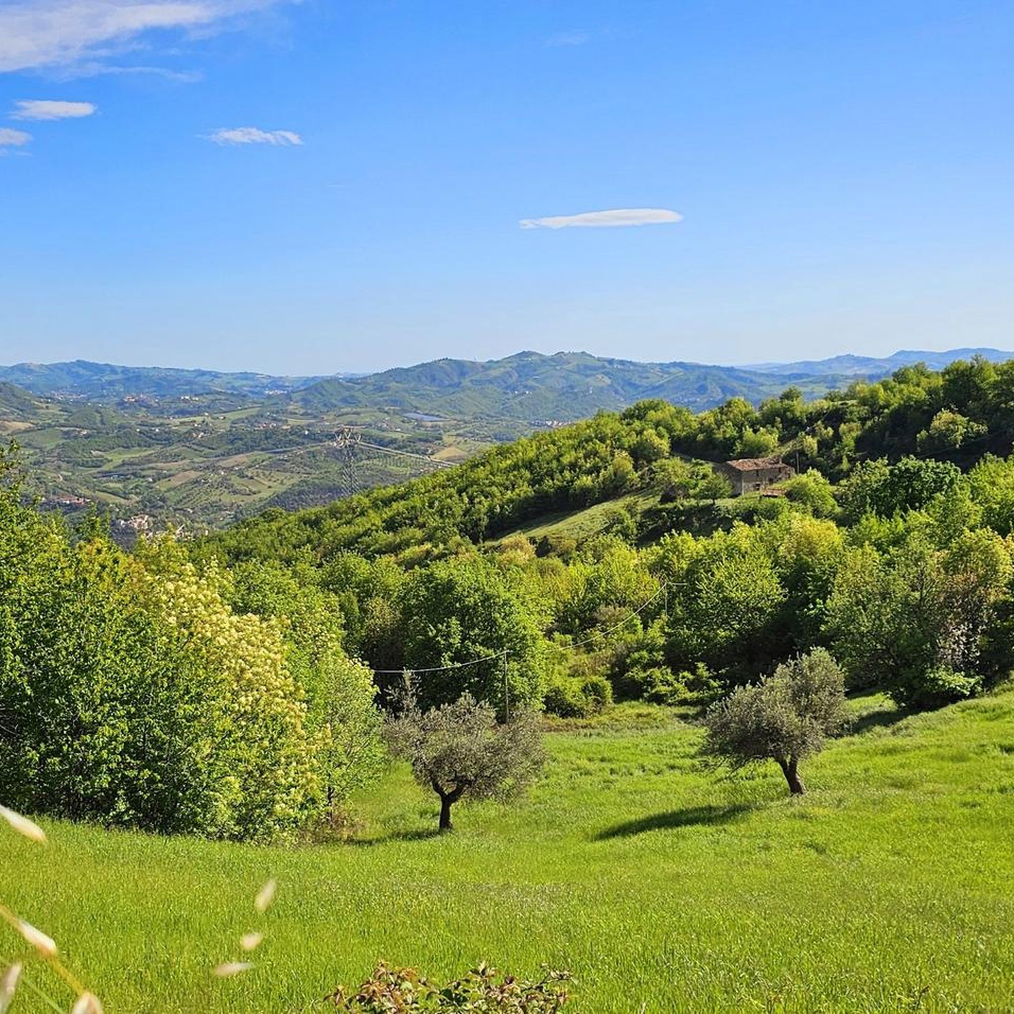
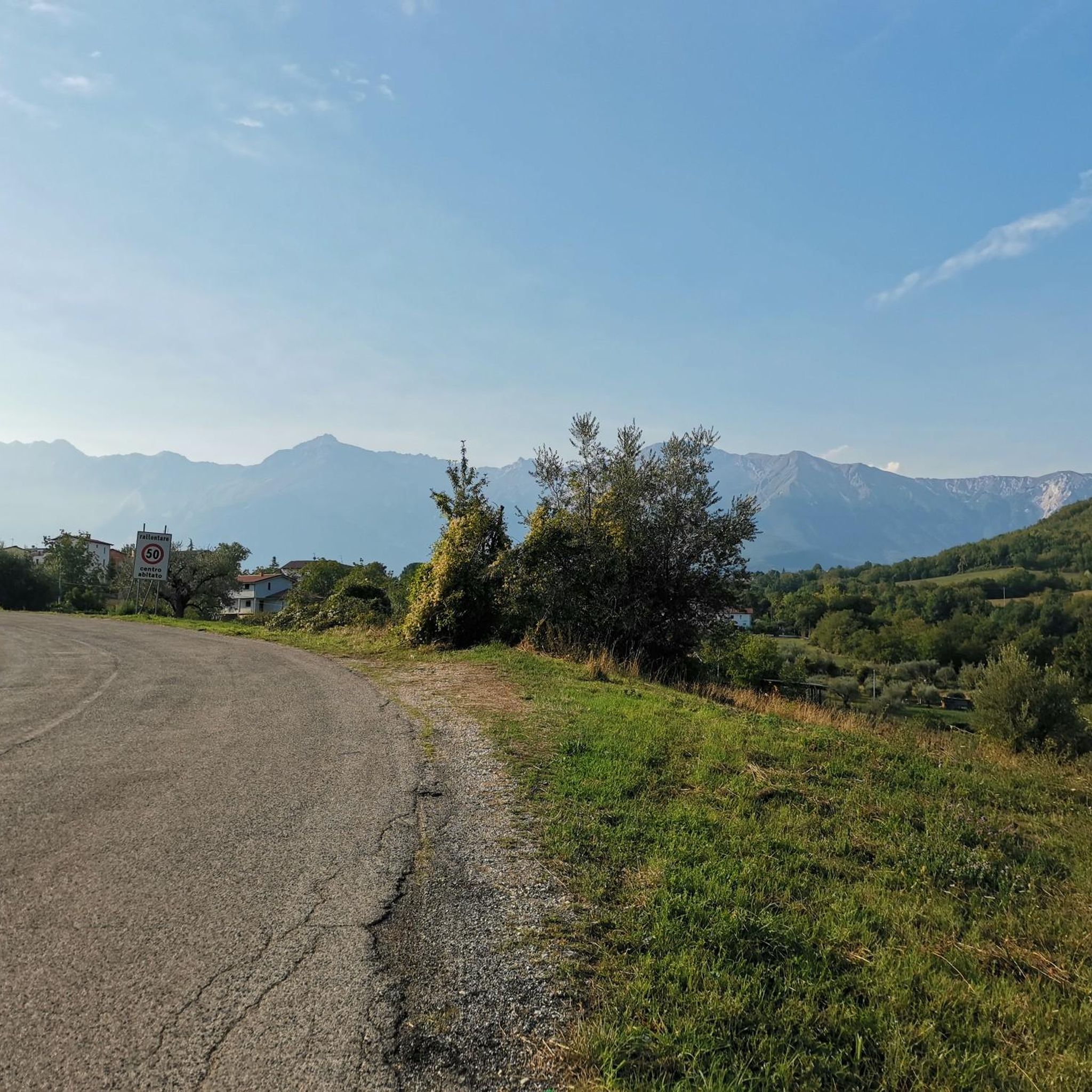
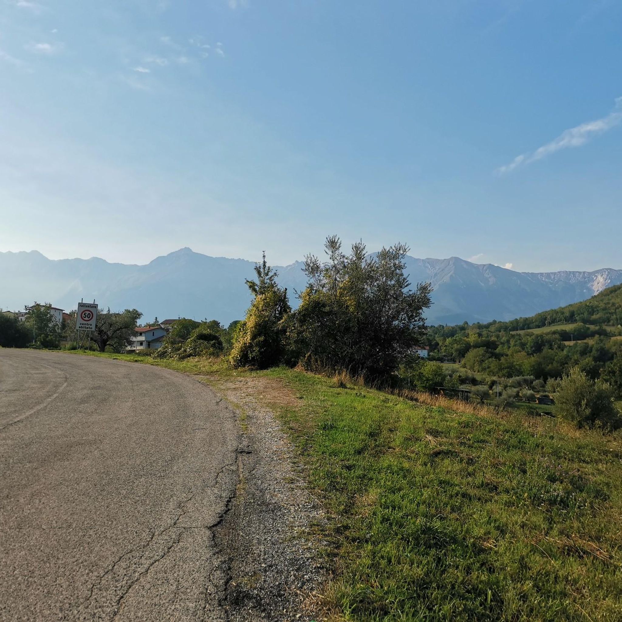
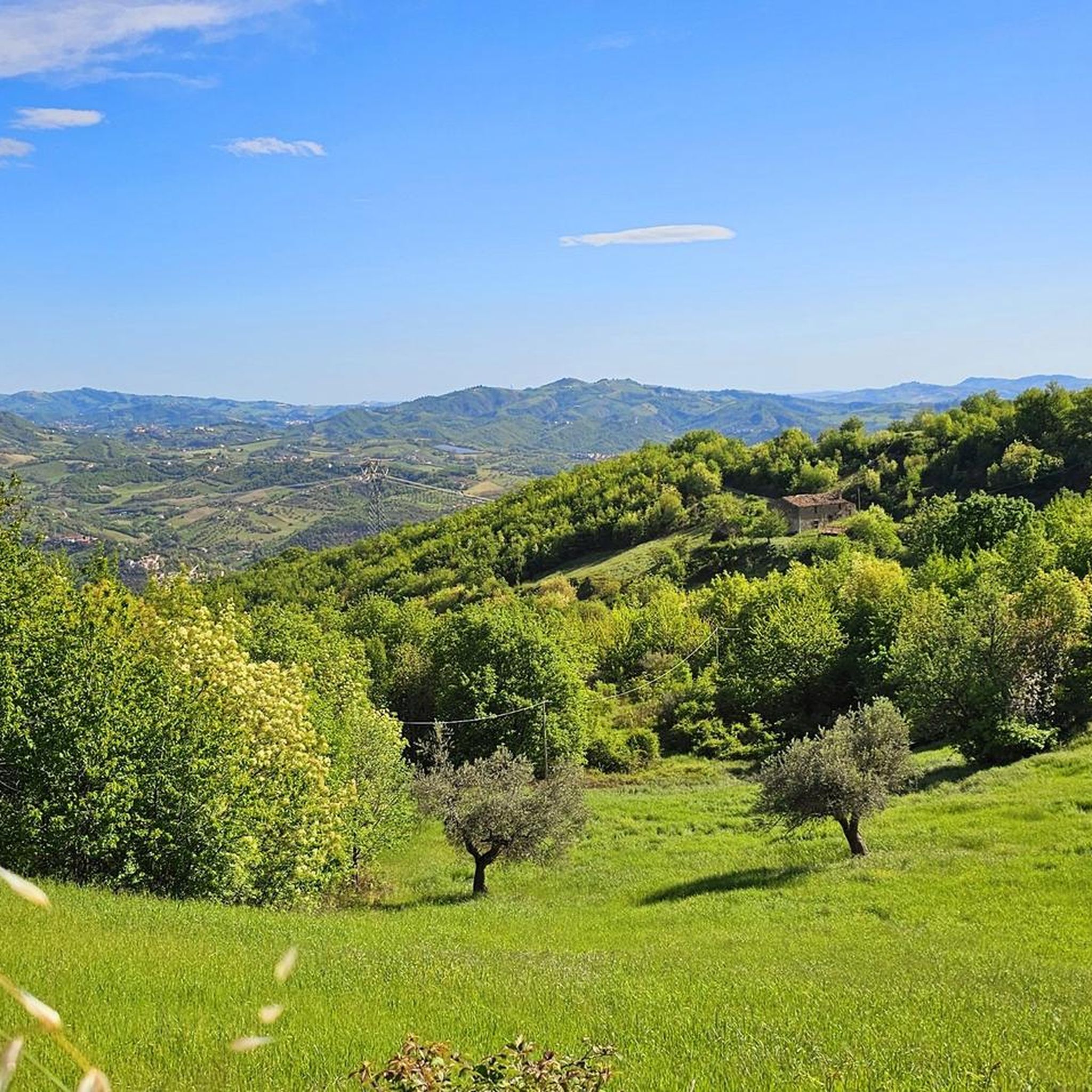
Jogging routes around Tossicia are set within the Gran Sasso e Monti della Laga National Park, offering diverse terrain for runners. The region features a hilly and mountainous landscape, characterized by lush forests, valleys, and numerous streams. This varied topography provides options for both gentle runs and more challenging mountain trails.
Best jogging routes around Tossicia
- The most popular jogging route is Tre Rifugi SkyRace – Ultra Trail Gran Sasso, a 18.4 miles (29.6 km) trail that takes 5…
Last updated: October 11, 2026
5.0
(1)
112
runners
29.6km
05:56
1,860m
1,860m
Hard run. Very good fitness required. Sure-footedness, sturdy shoes and alpine experience required.
5.0
(1)
12
runners
15.2km
02:22
840m
840m
Hard run. Very good fitness required. Mostly accessible paths. Some sure footedness required.

3
runners
Hard run. Very good fitness required. Sure-footedness, sturdy shoes and alpine experience required.
57
runners
10.4km
01:26
510m
510m
Hard run. Very good fitness required. Sure-footedness, sturdy shoes and alpine experience required.
64
runners
12.7km
01:46
590m
590m
Hard run. Very good fitness required. Sure-footedness, sturdy shoes and alpine experience required.
Get access to more routes and recommendations from other explorers.
Already have an account?
Our route recommendations are based on thousands of hikes, rides, and runs completed by other people on komoot.
Start today with a free account
Your next adventure awaits.

Tips from the Community

OPENING HOURS, always useful to know before you go up! Rifugio Duca degli Abruzzi is open daily for the summer season. The opening hours and seasons are arranged as follows: summer season (continuously open) Period: From June 15 to the end of September, the mountain hut is open non-stop every day. Daytime (kitchen/bar): You can usually go there from approx. 08:30 to 17:00 for drinks, snacks, and lunch. Overnight stay: If you have booked an overnight stay in advance, you can join for dinner in the evening. Autumn, Winter & Spring (limited opening) Period: from October to May. Days: The hut is then in principle only open on weekends (Friday evening to Sunday afternoon), provided the weather and snow conditions allow it safely. Closure: the hut often closes completely in the month of November due to the start of the heavy winter snowfall. Important to know: because the mountain hut is located at an altitude of almost 2400 meters, the opening hours are always dependent on the weather. In case of heavy storms, dense fog, or sudden snowfall, the hut may remain unexpectedly closed. Do you want to be sure whether the manager is present or do you want to book a place to sleep? Check the current status via the official CAI Booking Platform or contact the managers directly via +39 388 186 7703.
7
0
Rifugio Duca degli Abruzzi is located at an altitude of 2,388 meters on Monte Portella and is one of the most beautiful viewpoints in the Gran Sasso massif. The mountain hut, built in 1908 by the Italian Alpine Club (CAI), is named after the famous explorer and mountaineer Luigi Amedeo of Savoy. From the terrace, you can enjoy a spectacular 360° panorama over the Campo Imperatore plateau, the imposing Corno Grande – the highest peak in the Apennines at 2,912 meters – and the rugged Val Maone. The relatively short hike to the hut immediately offers a real high-mountain feeling and is an ideal stopover for lunch or an espresso, but also serves as a starting point for more challenging climbs. Historical fact: just below the mountain hut lies the Hotel Campo Imperatore, where Benito Mussolini was held captive in 1943. From this area, he looked out over the endless peaks of the Apennines until he was freed by a glider during the spectacular German rescue operation, Operation Oak. This combination of impressive nature, mountaineering history, and a remarkable chapter from World War II makes a visit to Rifugio Duca degli Abruzzi extra memorable.
8
0

A summer and winter tourist resort in the province of Teramo. Located above the village of Pietracamela. From the Prati di Tivo square, at an altitude of 1,450 meters, a four-seater chairlift and a two-seater chairlift ascend to Arapietra, 2,000 meters above sea level.
0
0

Rifugio Garibaldi is located in Campo Pericoli, in the heart of Gran Sasso. It is a historic refuge, currently undergoing renovation. A room for emergency bivouac is always available. The reopening should be scheduled for the summer season of 2025, but I recommend contacting CAI l'Aquila for updated information: https://cailaquila.it/rifugi-e-bivacchi-cai-laquila/rifugio-giuseppe-garibaldi-loc-campo-pericoli/
3
0

very beautiful route, touristic and suitable for families
0
0

The weather can change quickly up here. When I was here in early May, it suddenly rained and the temperature dropped to 2°C.
0
0

Fantastic views here in Abruzzo
1
0

Frequently Asked Questions
How many running routes are available around Tossicia?
Tossicia offers a selection of over 20 running routes, ranging from easy paths to challenging mountain trails within the Gran Sasso e Monti della Laga National Park. This diverse network ensures options for various ability levels.
Are there easy running routes suitable for beginners in Tossicia?
While many routes around Tossicia are rated as difficult, there are options for beginners. The region's varied terrain includes gentler slopes and paths through wooded valleys, providing less strenuous running experiences. You can find one easy route and eight moderate routes among the available options.
What kind of terrain can I expect on the running trails near Tossicia?
The running trails around Tossicia offer a diverse range of terrain. You'll encounter hilly and mountainous landscapes, lush forests, and paths alongside streams and rivers. The area is within the Gran Sasso e Monti della Laga National Park, so expect natural, often unpaved surfaces, with varying gradients from gentle slopes to challenging ascents.
Are there any running routes that feature waterfalls in the Tossicia area?
Yes, several running routes in the Tossicia area lead to beautiful waterfalls. For instance, the route From Pietracamela to Cascate Rio Arno takes you through forested valleys to the Rio Arno Waterfalls. Other notable waterfalls in the region include the Ruzzo Waterfalls and the Passage Behind the Waterfall.
Can I find circular running routes around Tossicia?
Yes, there are several circular running routes available. For example, the Rio Arno Waterfalls – Prati di Tivo loop from Pietracamela and the Prati di Tivo – Rio Arno Waterfalls loop from Prati di Tivo offer scenic circular options, allowing you to start and finish in the same location.
What are some scenic viewpoints or landmarks I can see while running near Tossicia?
Running in Tossicia offers breathtaking views. From higher elevations, you can enjoy vistas extending from the Vomano valley to the Adriatic Sea. The routes often pass through the majestic Gran Sasso mountains and lush wooded slopes. You might also encounter historic elements within Tossicia itself, with its narrow streets and medieval charm.
Are there any mountain huts along the running trails where I can rest?
Yes, several mountain huts are accessible from the running trails around Tossicia. Notable huts include the Duca degli Abruzzi Hut, Garibaldi Hut, and Carlo Franchetti Hut. These can serve as excellent rest stops or destinations for longer runs.
What do other runners enjoy most about the trails in Tossicia?
The running trails in Tossicia are highly rated by the komoot community, with an average score of 3.8 stars. Runners frequently praise the majestic Gran Sasso mountains, the lush wooded slopes, and the scenic river valleys that define the area. The diverse network of routes also offers options for various ability levels, which is appreciated by the community.
Is Tossicia a good destination for family-friendly running or walking?
Tossicia's diverse landscape includes paths suitable for families. While some trails are challenging, there are also gentler routes through valleys and wooded areas that can be enjoyed by families looking for a less strenuous outdoor activity. It's advisable to check the difficulty ratings of specific routes to find the best fit for your family.
Are the running trails around Tossicia dog-friendly?
The Gran Sasso e Monti della Laga National Park, where Tossicia is located, generally welcomes dogs on trails, provided they are kept under control, often on a leash, to protect wildlife and other visitors. It's always recommended to check specific park regulations or route descriptions for any restrictions before heading out with your dog.
What is the best time of year for running in Tossicia?
Tossicia offers good running conditions for much of the year. Spring and autumn provide pleasant temperatures and beautiful scenery with changing foliage or blooming wildflowers. Summer is also popular, especially for higher-altitude trails in the Gran Sasso mountains, though it can be warm. Winter running is possible, but some higher or more exposed trails may be affected by snow and ice, requiring appropriate gear.
Are there options for long-distance running or ultra-trails near Tossicia?
Yes, Tossicia is an excellent base for long-distance running. The Tre Rifugi SkyRace – Ultra Trail Gran Sasso is a prime example, offering an extensive 18.4-mile (29.6 km) mountain running experience through the Gran Sasso range, designed for experienced runners seeking a significant challenge.
Is there public transport available to reach trailheads around Tossicia?
While Tossicia is a starting point for many outdoor activities, public transport options to specific remote trailheads within the Gran Sasso e Monti della Laga National Park can be limited. It's often more convenient to reach these starting points by car. For general information about the region, you might find resources on local tourism sites like visit-tossicia.com.
Most popular attractions around Tossicia

Get inspired with the komoot mobile app


Explore more
Browse the best Running Trails & Routes in other regions.
