The best walks and hikes around Montereale
4.4
(423)
1,924
hikers
92
hikes
Hiking around Montereale offers a diverse landscape characterized by rolling hills, valleys, and rural paths in the Abruzzo region of Italy. The area features a network of trails that navigate through varied terrain, including open countryside and forested sections. Elevation changes are common, providing hikers with panoramic views of the surrounding natural environment.
Best hiking trails around Montereale
- The most popular hiking route is Colle di Pago loop from Mascioni, a 4.7 miles (7.6 km) trail that takes 2…
Last updated: October 11, 2026
4.5
(11)
42
hikers
7.56km
02:38
240m
240m
Moderate hike. Good fitness required. Mostly accessible paths. Sure-footedness required.
3.0
(5)
22
hikers
14.9km
04:41
440m
450m
Moderate hike. Good fitness required. Mostly accessible paths. Sure-footedness required.

3.5
(6)
13
hikers
5.98km
01:46
160m
160m
Moderate hike. Great for any fitness level. Mostly accessible paths. Sure-footedness required.
3.0
(3)
9
hikers
8.88km
03:27
550m
560m
Moderate hike. Good fitness required. Mostly accessible paths. Sure-footedness required.
3.0
(3)
9
hikers
9.26km
03:33
560m
560m
Moderate hike. Good fitness required. Mostly accessible paths. Sure-footedness required.
Get access to more routes and recommendations from other explorers.
Already have an account?
Our route recommendations are based on thousands of hikes, rides, and runs completed by other people on komoot.
Start today with a free account
Your next adventure awaits.
Tips from the Community

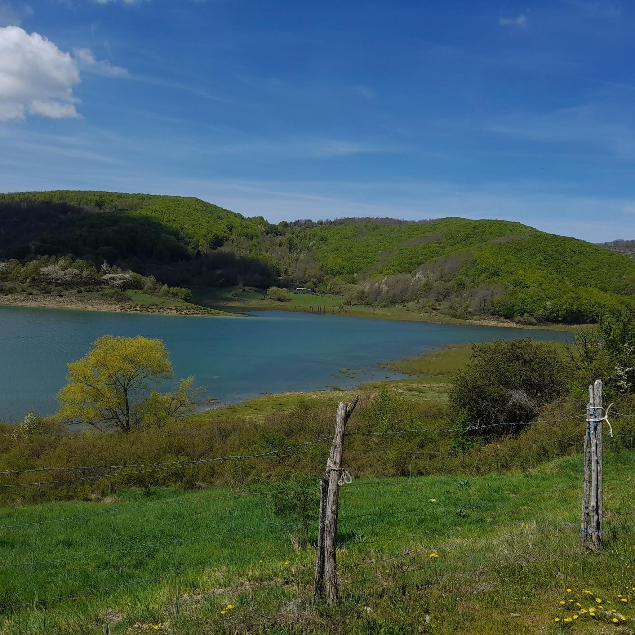
Fantastic view of Lago di Campotosto, one of the largest artificial lakes in Abruzzo, nestled in an impressive mountain landscape. In the background rises the Gran Sasso, the highest mountain massif in the Apennines with the Corno Grande. A beautiful panorama and definitely one of the highlights of the hike.
0
0
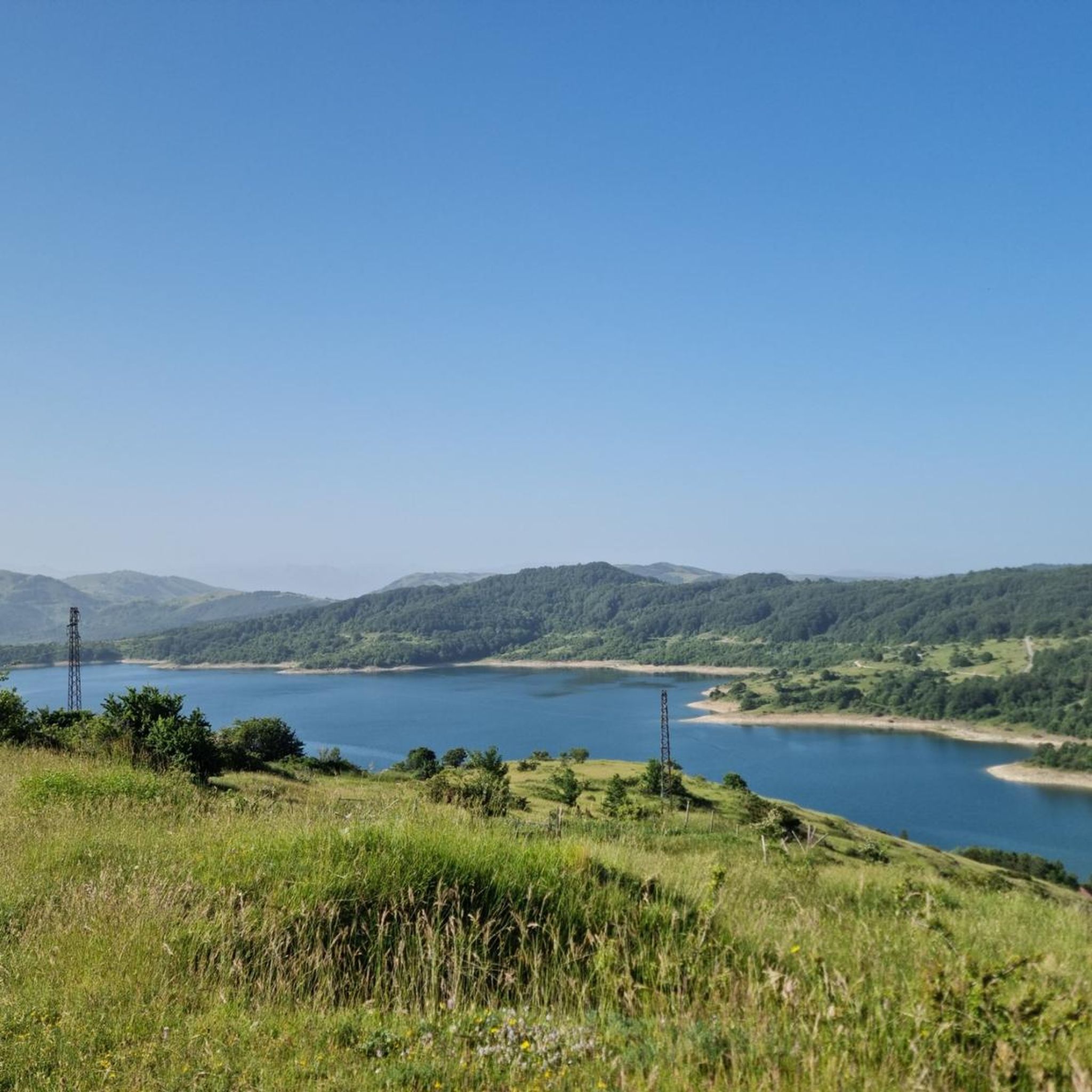
Monte Mascioni reaches about 1,590 m and lies above the Lago di Campotosto in the Gran Sasso e Monti della Laga National Park. The mountain offers a beautiful view of the lake and the impressive mountain world of the Abruzzo region. Especially the wide, open landscape and the view of Lago di Campotosto make Monte Mascioni a beautiful vantage point.
0
0
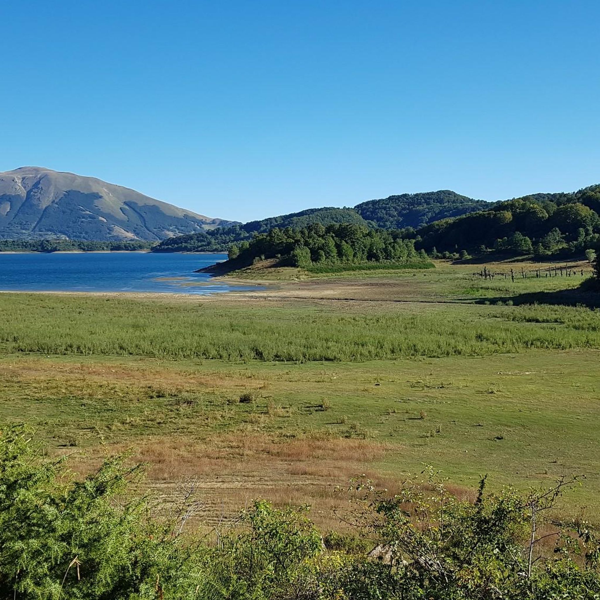
Monte Civitella is located in the impressive mountain world of the Abruzzo region and offers a wonderful panoramic view of the surrounding mountains and valleys. The rather gentle summit appears calm and expansive compared to the distinctive peaks of Gran Sasso. The view over the varied landscape is particularly beautiful – from green slopes and deep valleys to the higher mountain ranges on the horizon. A beautiful viewpoint and a worthwhile destination for the hike.
0
0
Traumhafte Aussicht auf den Lago di Campotosto, einen der grössten künstlichen Seen der Abruzzen, eingebettet in eine beeindruckende Berglandschaft. Im Hintergrund erhebt sich der Gran Sasso, das höchste Bergmassiv des Apennins mit dem Corno Grande. Ein wunderschönes Panorama.
0
0

This place offers a privileged view of the Gran Sasso with Lake Campotosto. It is also here that the road from Capitignano reaches the lake.
0
0
Mascioni is a small village located on the shores of Lake Campotosto, in Abruzzo. Featuring traditional houses and narrow cobbled streets, it offers a rural and peaceful atmosphere. Its position on the lake and proximity to the mountains make it an ideal starting point for excursions into the surrounding nature. https://fondoambiente.it/luoghi/mascioni?ldc
0
0

Going up and down from Monte Mascioni the view sweeps from Lake Campotosto to the surrounding mountains.
2
0

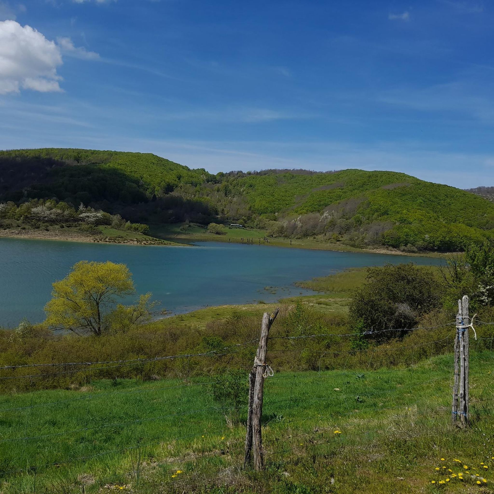
Fantastic view from the (low) summit
0
0
Frequently Asked Questions
Are there easy hiking trails suitable for beginners in Montereale?
Yes, Montereale offers a few easy hiking trails perfect for beginners. While most routes are moderate, there are 4 trails categorized as easy, providing a gentle introduction to the area's scenic beauty.
What is the typical duration for hikes around Montereale?
Hikes around Montereale vary in duration depending on the route and your pace. For example, the Hiking loop from Mascioni can be completed in about 1 hour 45 minutes, while longer routes like To Monte Mascioni – Mascioni Village loop from Mascioni take approximately 4 hours 41 minutes.
Are there parking facilities available near the hiking trailheads in Montereale?
Yes, in Montereale and the surrounding villages like Mascioni and Capitignano, you can typically find local parking areas near the starting points of many hiking trails. These are often small village squares or designated spots.
Are the hiking trails around Montereale suitable for families with children?
Many of the trails around Montereale, especially the easier and shorter loops, are suitable for families. The varied terrain and rural paths offer an engaging experience for children, though some routes involve moderate elevation changes.
Can I bring my dog on the hiking trails in Montereale?
Generally, dogs are welcome on hiking trails in the Montereale area, especially in rural and natural settings. It's always recommended to keep your dog on a leash, especially when passing through villages or near livestock, and to carry waste bags.
When is the best time of year to go hiking in Montereale?
The best time for hiking in Montereale is typically from spring (April-May) through autumn (September-October). During these seasons, the weather is generally mild and pleasant, and the landscapes are vibrant. Summer can also be good, but it's advisable to hike in the mornings or late afternoons to avoid the midday heat.
Are there any trails with particularly scenic viewpoints in Montereale?
Yes, the rolling hills and varied elevation around Montereale offer numerous scenic viewpoints. For instance, the To Monte Mascioni – Mascioni Village loop from Mascioni provides expansive views of the surrounding hills. You can also find dedicated viewpoints like View of Montereale and Gran Sasso and View of Capitignano.
Can I find circular hiking routes in Montereale?
Yes, Montereale is rich in circular hiking routes, which are ideal for exploring the area without retracing your steps. Many popular trails, such as the Colle di Pago loop from Mascioni and the Palazzo Ricci loop from Mascioni, are designed as loops.
What natural attractions or landmarks can I explore near Montereale while hiking?
While hiking near Montereale, you can discover several natural attractions and landmarks. Notable highlights include the serene Lake Campotosto, the Monte di Mezzo summit, and the tranquil San Franco Spring and Chapel. There are also several mountain passes like Ascent to the Capannelle Pass.
What do other hikers appreciate most about the trails in Montereale?
The trails in Montereale are highly rated by the komoot community, with an average score of 4.5 stars from over 350 reviews. Hikers frequently praise the diverse landscape, which includes rolling hills, rural paths, and forested sections, as well as the panoramic views and the variety of routes suitable for different ability levels.
What kind of elevation changes can I expect on hikes in Montereale?
Hikes in Montereale typically feature varied elevation changes, ranging from gentle ascents on easier trails to more significant climbs on moderate and difficult routes. For example, the Hiking loop from Capitignano involves an elevation gain of over 550 meters, offering rewarding views.
Are there places to eat or drink near the hiking routes in Montereale?
Montereale and its surrounding villages, such as Mascioni and Capitignano, offer local cafes, trattorias, or small shops where you can find refreshments or a meal. It's a good idea to check opening times, especially in smaller hamlets, or pack your own snacks and water.
Most popular attractions around Montereale

Get inspired with the komoot mobile app


Explore more
Browse the best Hikes in other regions.
