The best running trails around Crognaleto
4.9
(9)
980
runners
59
runs
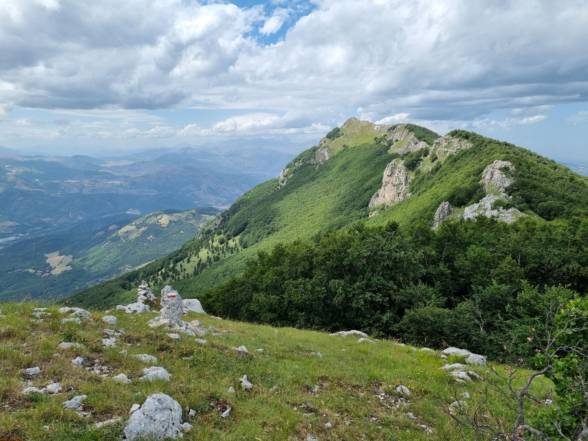
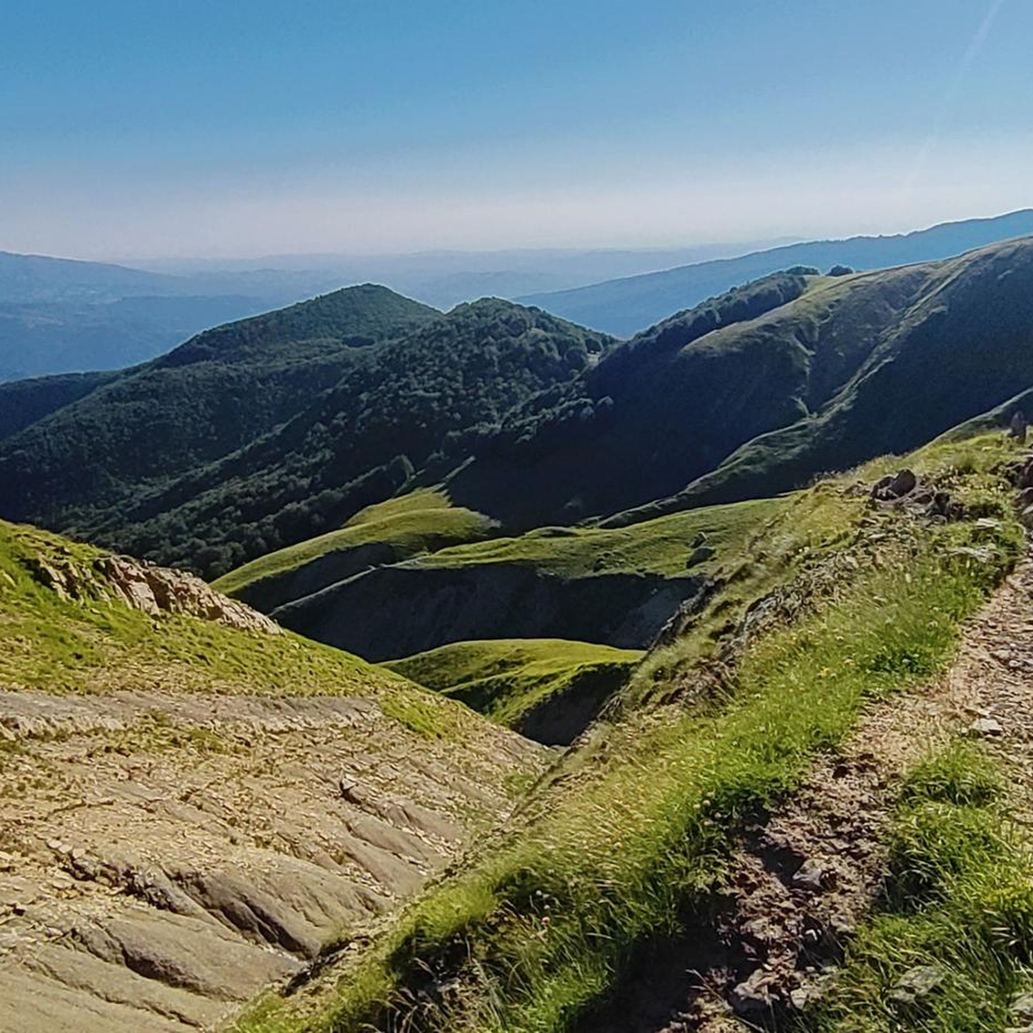
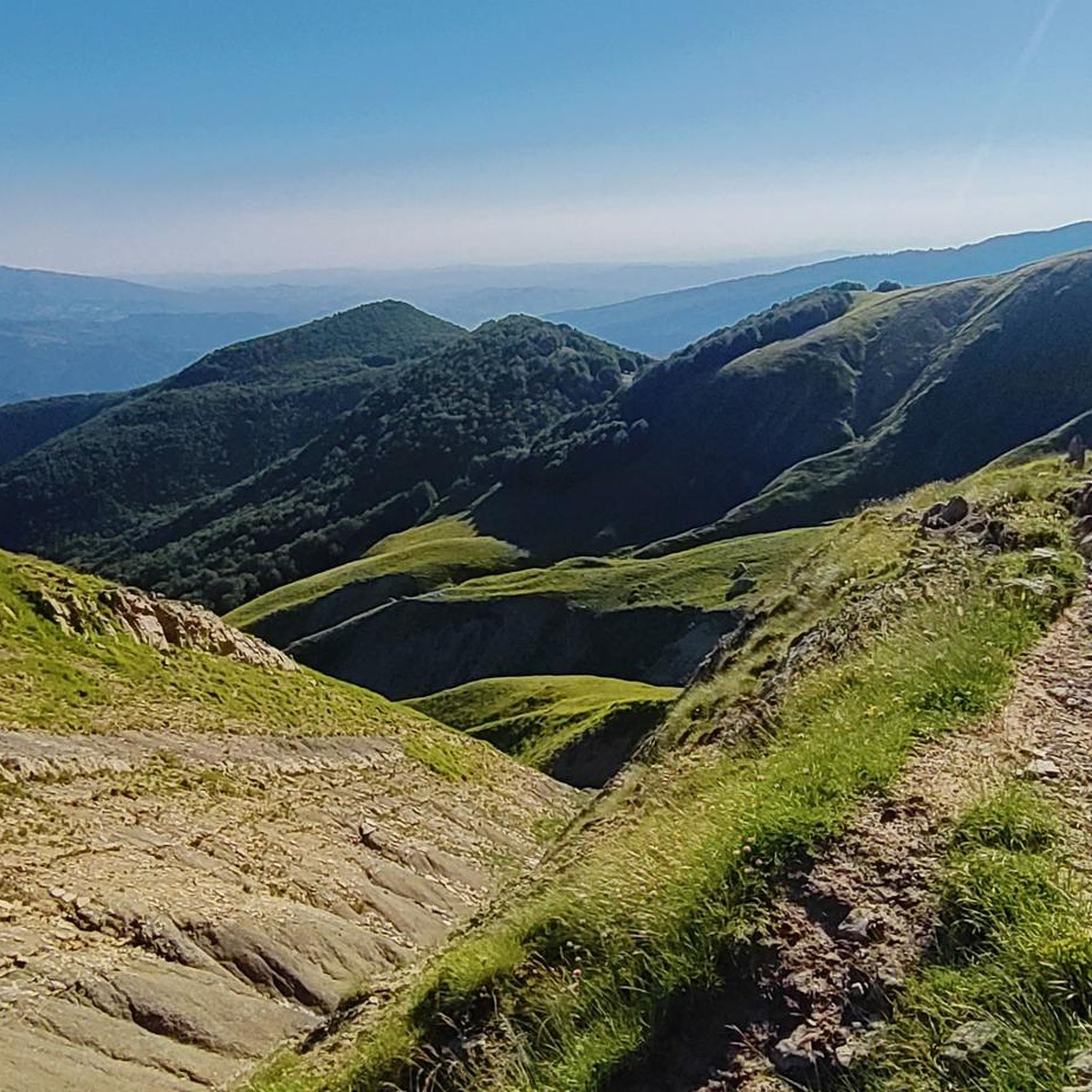
Jogging routes around Crognaleto traverse the mountainous terrain of the Gran Sasso e Monti della Laga National Park, featuring diverse landscapes from high-altitude plateaus to river valleys. The region is characterized by its rugged peaks, dense woodlands, and numerous water features, including lakes and waterfalls. Runners can expect varied elevations and natural surfaces throughout the area.
Best jogging routes around Crognaleto
- The most popular jogging route is Lake Campotosto Loop, a 15.8 mile (25.5 km) difficult trail that takes…
Last updated: July 7, 2026
12
runners
25.5km
02:41
290m
290m
Embark on the Lake Campotosto Loop, a difficult jogging route that circles the largest artificial lake in Abruzzo. You will cover 15.8 miles (25.5 km) with a total elevation gain…
2
runners
8.73km
01:28
460m
440m
This difficult 5.4-mile jogging loop from Cesacastina explores the stunning Valle delle Cento Cascate, offering waterfalls and mountain view

Sign up for free
1
runners
Hard run. Very good fitness required. Sure-footedness, sturdy shoes and alpine experience required.
3.13km
00:27
130m
130m
This moderate 1.9-mile jogging trail from Senarica to Piano Roseto climbs 427 feet, offering a quick 26-minute workout in Abruzzo.
3.54km
00:30
130m
130m
Jog the moderate 2.2-mile Sentiero Italia Trail: Stage P16N in Gran Sasso and Monti della Laga National Park, featuring a waterfall.
Get access to more routes and recommendations from other explorers.
Sign up for free
Already have an account?
Our route recommendations are based on thousands of hikes, rides, and runs completed by other people on komoot.
Start today with a free account
Your next adventure awaits.
Login or Signup
Other adventures around Crognaleto

Tips from the Community

Nice spot to enjoy Corno Grande and Pizzo di Intermesoli in the distance.
0
0
Immersed in the secular beech forest, you can enjoy the sound of the numerous waterfalls of different sizes that form the Fosso dell'Acero. Here and there artificial pools form where you can dip your feet.
0
0

bridge that allows you to cross from one side of the lake to the other. Go ahead with the mountain bike if you are in BDC pay attention to the holes. ALWAYS BEWARE OF THE WIND THAT SOMETIMES BLOWS STRONG
0
0

The Stecca bridge crosses the Campotosto lake at its narrowest point. Next to it there is still the bridge which was built at the same time as the lake (about 1930) and has not been used for some years.
1
0

The iron bridge is located inside a large beech forest, a typical species of the Apennines. Some of the beech trees are particularly tall and have huge roots.
1
0
The church of Santa Maria della Tibia, also known as Madonna della Tibia, is located at 1187 meters and was built in 1617. In rural areas there is a widespread popular Marian cult of the "Seven Madonna Sisters", which also includes devotion to Our Lady of Tibia.
0
0
Piano Roseto is a natural area and a karst plateau on the Monti della Laga.
1
0

Lake Campotosto is an artificial lake, the road that goes around the lake is mostly flat and always offers a panoramic view.
0
0
Frequently Asked Questions
How many running routes are available in Crognaleto, and what are their difficulty levels?
Crognaleto offers a wide selection of running trails, with over 45 routes available. The majority are challenging, with 34 routes rated as difficult, 12 as moderate, and 1 route suitable for beginners.
Are there any family-friendly jogging routes in Crognaleto?
While many trails in Crognaleto are rated moderate to difficult due to the mountainous terrain, there is at least one route suitable for easier jogging. For families, we recommend checking the detailed route descriptions on komoot to find paths with minimal elevation gain and shorter distances that might be more appropriate.
Can I find circular jogging trails in the Crognaleto area?
Yes, Crognaleto features several circular jogging trails. A notable example is the Lake Campotosto Loop, which offers extensive views around the lake, and the Valley of the Hundred Waterfalls Loop from Cesacastina, known for its scenic beauty.
What kind of natural attractions can I see along the running routes in Crognaleto?
The running routes in Crognaleto traverse the Gran Sasso e Monti della Laga National Park, offering stunning natural attractions. You can encounter numerous water features, including the Valley of the Hundred Waterfalls, Morricana Waterfall, and Rio Arno Waterfalls. The region also boasts impressive natural monuments like the Corno Grande Western Summit and Monte Aquila Summit.
Are there any jogging routes that feature waterfalls in Crognaleto?
Absolutely! The region is known for its numerous waterfalls. The Valley of the Hundred Waterfalls Loop from Cesacastina is a prime example, leading through a valley famous for its cascades. You can also find the From Pietracamela to Cascate Rio Arno route, which takes you to the Rio Arno Waterfalls.
What do other runners enjoy most about jogging in Crognaleto?
The running trails in Crognaleto are highly rated by the komoot community, with an average score of 4.8 stars from over 8 reviews. Runners often praise the diverse landscapes, from high-altitude plateaus to river valleys, and the challenging yet rewarding mountainous terrain within the Gran Sasso e Monti della Laga National Park.
What is the typical length and duration of running trails in Crognaleto?
The lengths and durations vary significantly. For instance, the challenging Lake Campotosto Loop is about 25.5 km (15.8 miles) and takes nearly 2 hours 41 minutes. Shorter, moderate options like the Sentiero Italia Trail: Stage P16N are around 3.5 km (2.2 miles) and can be completed in under 30 minutes.
Are there any hidden gem jogging trails in Crognaleto?
While popular routes like the Lake Campotosto Loop are well-loved, exploring trails like the Senarica to Piano Roseto Trail can offer a quieter experience. These less-trafficked paths often reveal unique perspectives of the region's rugged peaks and dense woodlands.
What is the best time of year for jogging in Crognaleto?
Given Crognaleto's mountainous terrain within the Gran Sasso e Monti della Laga National Park, late spring, summer, and early autumn generally offer the most favorable conditions for jogging. During these seasons, trails are typically clear of snow, and the weather is more temperate, allowing for comfortable exploration of the diverse landscapes.
Are there opportunities to see wildlife while jogging in Crognaleto?
Jogging through the Gran Sasso e Monti della Laga National Park provides excellent opportunities for wildlife spotting. The park is home to various species, including chamois, deer, and numerous bird species. Early mornings or late afternoons are often the best times to observe animals in their natural habitat.
Are there any jogging routes near Crognaleto that are suitable for advanced runners?
Yes, Crognaleto is particularly well-suited for advanced runners, with 34 out of 47 routes rated as difficult. Trails like the Lake Campotosto Loop and the Valley of the Hundred Waterfalls Loop from Cesacastina offer significant distances and elevation changes, providing a challenging experience for seasoned runners.
What should I know about parking when planning a run in Crognaleto?
Parking availability can vary depending on the specific trailhead. For routes starting in or near villages like Cesacastina or Pietracamela, you can often find designated parking areas. It's advisable to check the komoot route details or local maps for specific parking information before heading out, especially during peak seasons.
Most popular attractions around Crognaleto

Get inspired with the komoot mobile app


Explore more
Browse the best Running Trails & Routes in other regions.
