The best walks and hikes around Poggiodomo
4.3
(280)
1,043
hikers
41
hikes
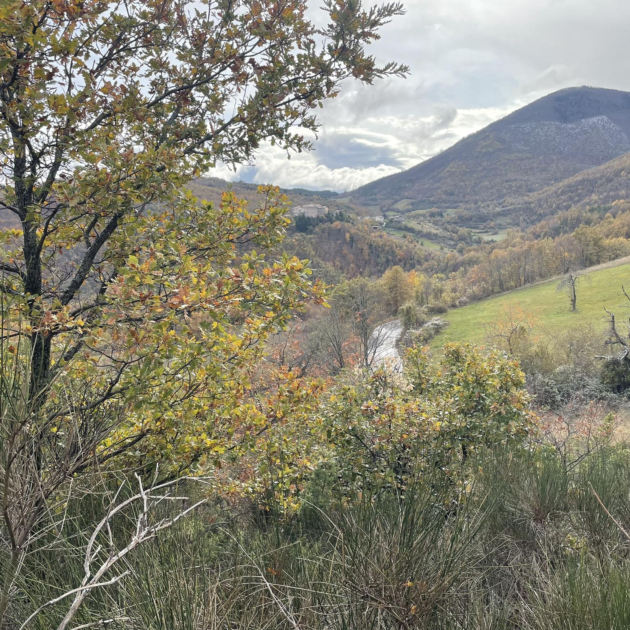
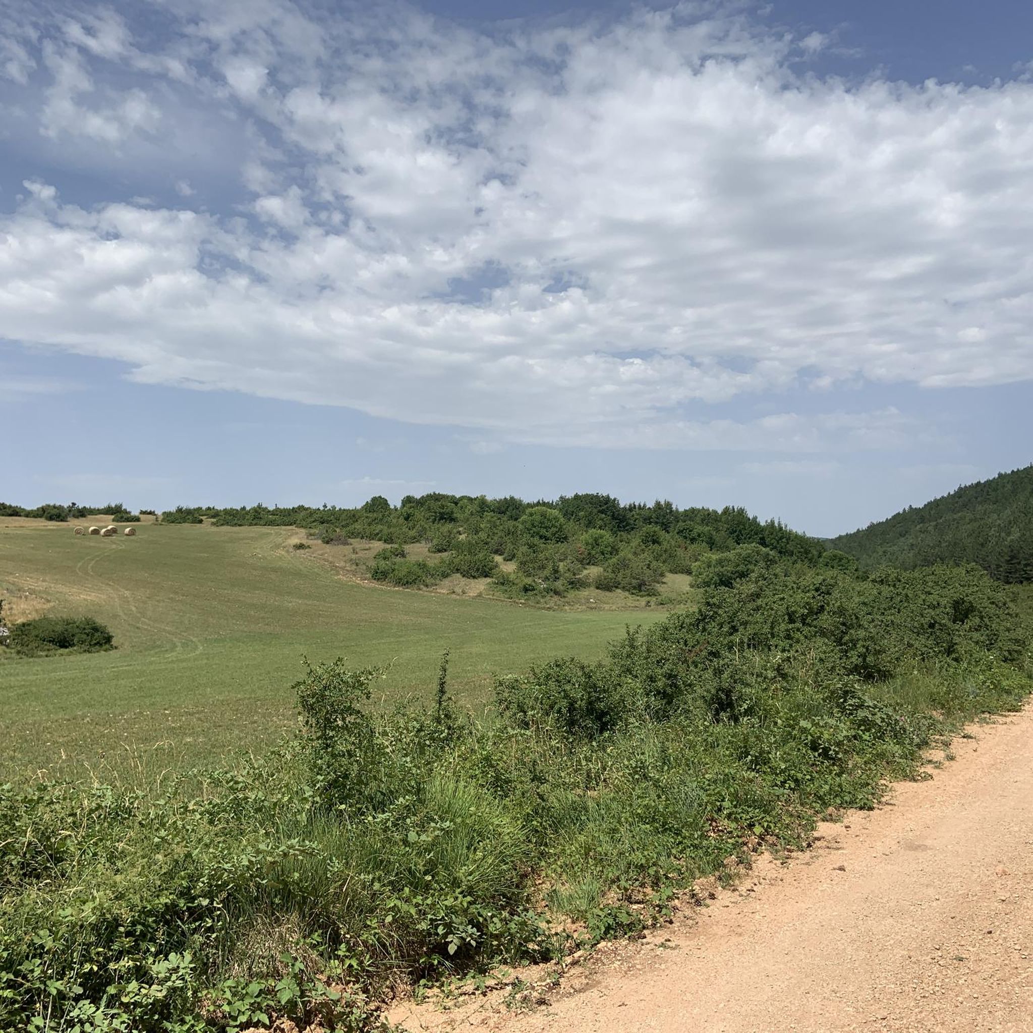
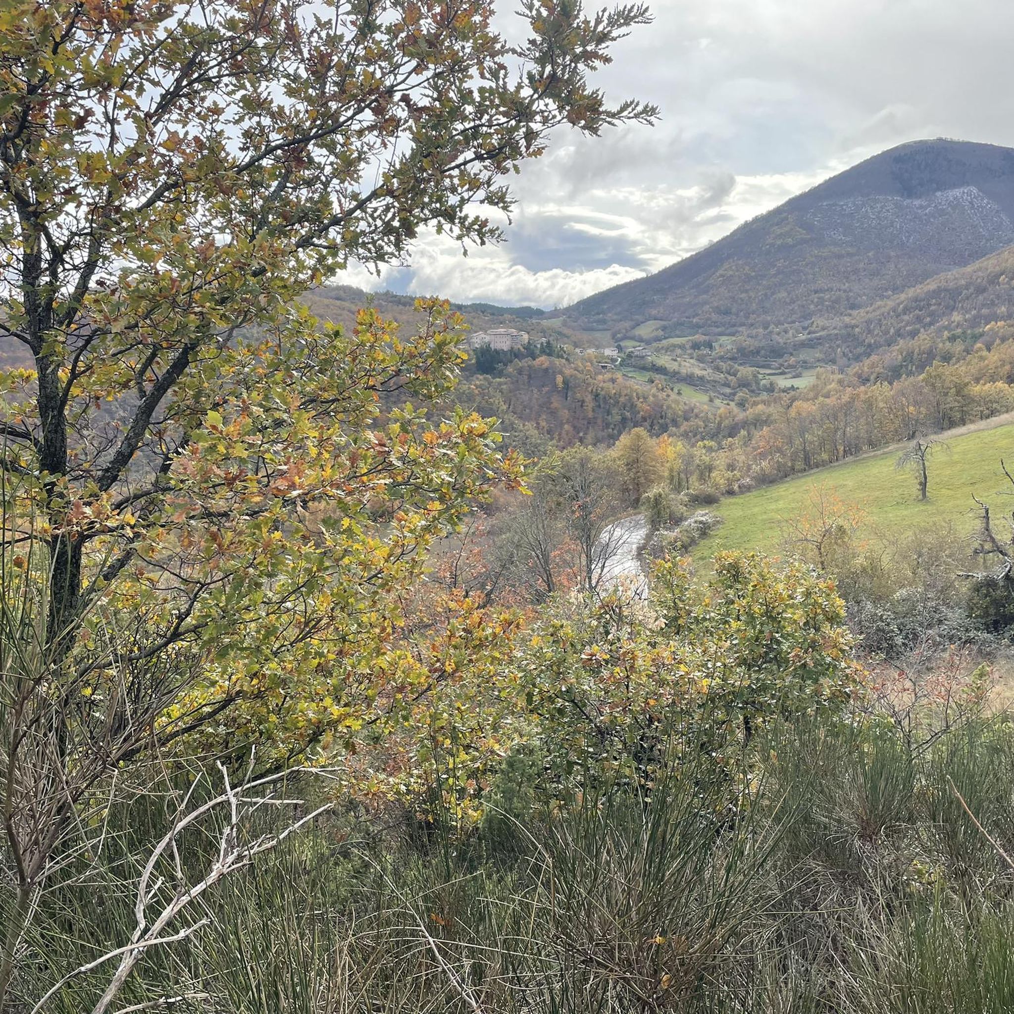
Hiking around Poggiodomo offers a diverse landscape characterized by rolling hills, dense woodlands, and significant elevation changes. The region features prominent peaks like Monte Coscerno, providing varied terrain for hikers. Circular routes are common, allowing for comprehensive exploration of the local environment.
Best hiking trails around Poggiodomo
- The most popular hiking route is From Poggiodomo to Monte Coscerno – ring tour, a 10.0 miles (16.1 km) trail that takes 5 hours 22 minutes to complete, offering challenging ascents towards…
Last updated: August 31, 2026
4.7
(6)
16
hikers
16.1km
05:22
790m
790m
Hard hike. Very good fitness required. Easily-accessible paths. Suitable for all skill levels.
2.0
(1)
2
hikers
16.2km
05:13
720m
710m
Hard hike. Very good fitness required. Easily-accessible paths. Suitable for all skill levels.

Sign up for free
4.7
(20)
69
hikers
10.9km
03:06
240m
240m
Moderate hike. Good fitness required. Easily-accessible paths. Suitable for all skill levels.
4.3
(15)
51
hikers
11.3km
03:49
540m
550m
Moderate hike. Good fitness required. Mostly accessible paths. Sure-footedness required.
5.0
(3)
58
hikers
1.69km
00:29
40m
40m
Easy hike. Great for any fitness level. Easily-accessible paths. Suitable for all skill levels.
Get access to more routes and recommendations from other explorers.
Sign up for free
Already have an account?
Our route recommendations are based on thousands of hikes, rides, and runs completed by other people on komoot.
Start today with a free account
Your next adventure awaits.
Login or Signup

Tips from the Community

The 40 m ascent and descent are somewhat underestimated. The altitude difference is 120 m, but with slow walking and not too hot weather, they are achievable even with less fitness.
0
0

Monastery and Basilica of Santa Rita da Cascia. This imposing religious complex dedicated to the Saint is certainly worth a visit. It is located along the Via di San Benedetto.
2
0
Birthplace of Saint Rita of Cascia. There is the small church of the Saint's wedding house and a sanctuary dedicated to her.
1
0

Cascia was a highlight of our trip to Italy and the visit was a matter close to our hearts. Absolutely worth seeing!
1
0

This church, dedicated to Saint Rita, is remarkable in many ways. The basilica was only built in the early 1900s (1937-1947) to create a larger church to house the much-visited relics of the former nun, Saint Rita of Cascia, who was canonized in 1931. The facade of the basilica is clad in white travertine from Tivoli. The floor plan is centralized in the form of a Greek cross. Rita of Cascia, born Margherita Ferri Lotti - Mancini (* 1381 in Rome; † May 22, 1457 there) was an Italian widow and Augustinian nun who was venerated as a saint in the Roman Catholic Church. With its simplicity, it has penetrated the hearts of millions of believers around the world: all those who are looking for a way to face everyday life, often filled with difficulties, with hope.
3
0

The mountain village of Roccaporena at the foot of Mount Rucino (1,033 metres) is located in the municipality of Cascia and represents the place where Rita da Cascia lived from the year of her marriage until the day she was admitted to wear the habit of the Order of Sant'Agostino.
2
0
The Scoglio di Santa Rita is also known as the Scoglio di Roccaporena. 827 meters high, the "Rocca del Barone" once stood on its top, a late Roman watchtower which was later replaced with the small church which can be reached by walking along the stepped path. The church dates back to 1919: it was restored in 1941 and in 1979 it was completely rebuilt following the violent earthquake of that year.
2
0
The basilica of Santa Rita da Cascia is part of the sanctuary of the same name, a complex that includes various structures, places where the saint lived. Inside the church, in the chapel of Santa Rita, a crystal urn contains the body of the Saint.
2
1
Frequently Asked Questions
How many hiking trails are available around Poggiodomo?
There are over 30 hiking trails around Poggiodomo, offering a diverse range of experiences from easy strolls to challenging ascents. The region is known for its varied terrain, including dense woodlands and prominent peaks.
Are there easy hiking trails suitable for beginners in Poggiodomo?
Yes, Poggiodomo offers a few easy hiking trails perfect for beginners. For instance, the Scoglio di Santa Rita loop from Poggiodomo is an easy 1.1-mile (1.7 km) route that takes less than 30 minutes to complete, providing a gentle introduction to the area's natural beauty.
Can I find circular hiking routes in Poggiodomo?
Yes, circular routes are a common feature of hiking around Poggiodomo, allowing for comprehensive exploration of the local environment. Many trails, like the challenging From Poggiodomo to Monte Coscerno – ring tour, are designed as loops.
What is the typical duration for hikes in Poggiodomo?
Hiking durations in Poggiodomo vary significantly based on the trail's difficulty and length. You can find shorter walks, like the Scoglio di Santa Rita loop from Poggiodomo which takes under 30 minutes, to longer, more demanding routes such as the From Monteleone di Spoleto to Forchetta di Motola – ring tour, which can take over 5 hours.
Are the hiking trails around Poggiodomo dog-friendly?
Generally, dogs are welcome on most hiking trails in the Poggiodomo region, especially if kept on a leash. It's always a good idea to bring water for your dog and check for any specific local regulations or protected areas that might have restrictions.
What kind of terrain can I expect on hikes in Poggiodomo?
The terrain around Poggiodomo is diverse, characterized by rolling hills, dense woodlands, and significant elevation changes. You'll encounter paths leading to prominent peaks like Monte Coscerno, offering a mix of ascents and descents through varied landscapes.
What do other hikers enjoy the most about hiking in Poggiodomo?
The hiking trails in Poggiodomo are highly rated by the komoot community, with an average score of 4.4 stars from over 180 reviews. Hikers often praise the varied terrain, the challenging ascents to peaks like Monte Coscerno, and the numerous circular walks that allow for thorough exploration of the area.
Are there any interesting landmarks or attractions near the hiking trails?
Yes, the area around Poggiodomo offers several interesting historical and natural landmarks. You can explore remnants of the old Spoleto-Norcia Railway, including the Caprareccia Station, a section of the railway itself, and the impressive Caprareccia Tunnel and Viaduct. These offer unique points of interest along or near some routes.
Are there any moderate difficulty hikes in Poggiodomo?
Yes, Poggiodomo has a good selection of moderate hikes. For example, the Colle del Capitano loop from Ocosce is a 6.6-mile (10.7 km) trail through hilly terrain, typically completed in about 3 hours. Another moderate option is the View of Monte Coscerno loop from Gavelli.
What is the best time of year to go hiking in Poggiodomo?
The best time to hike in Poggiodomo is generally during the spring (April to June) and autumn (September to October) when the weather is mild and the landscapes are particularly vibrant with wildflowers or autumn colors. Summers can be warm, especially at lower elevations, while winters may bring snow to higher peaks like Monte Coscerno.
Is there parking available at the trailheads in Poggiodomo?
While specific parking information varies by trailhead, many starting points for hikes in Poggiodomo, especially those near villages or popular access points, offer designated or informal parking areas. It's advisable to check the route details on komoot for specific parking recommendations for your chosen trail.
What should I wear for hiking in Poggiodomo?
Given the varied terrain and potential for elevation changes, it's recommended to wear sturdy hiking boots with good ankle support. Layered clothing is ideal, allowing you to adjust to changing temperatures, especially when ascending or descending. Always bring rain gear, even on clear days, as mountain weather can be unpredictable.
Most popular attractions around Poggiodomo

Get inspired with the komoot mobile app


Explore more
Browse the best Hikes in other regions.
