The best MTB trails around Sachrang
4.7
(208)
1,058
riders
11
rides
Mountain bike trails around Sachrang are set within the diverse landscapes of the Chiemgau Alps, offering an extensive network suitable for various skill levels. The region features wide forest roads, challenging single trails, and picturesque meadows. Sachrang is surrounded by prominent peaks like Geigelstein and Spitzstein, providing varied terrain from lush foothills to rugged limestone formations.
Best mountain bike trails around Sachrang
- The most popular mountain bike trail is Route to Spitzstein – Altkaser Alpine Hut loop from Sachrang,…
Last updated: August 16, 2026
4.8
(38)
188
riders
16.7km
01:31
570m
570m
Hard mountain bike ride. Good fitness required. Advanced riding skills necessary. Some portions of the route may require you to push your bike.
4.5
(46)
172
riders
28.0km
02:00
380m
380m
Hard mountain bike ride. Good fitness required. Advanced riding skills necessary. Some portions of the route may require you to push your bike.

Sign up for free
4.4
(34)
115
riders
26.1km
01:41
280m
280m
Easy mountain bike ride. Great for any fitness level. Suitable for all skill levels.
5.0
(1)
20
riders
32.9km
03:40
1,300m
1,300m
Hard mountain bike ride. Very good fitness required. Advanced riding skills necessary. Some portions of the route may require you to push your bike.
5.0
(3)
10
riders
15.1km
01:50
620m
630m
Moderate mountain bike ride. Good fitness required. Advanced riding skills necessary.
Get access to more routes and recommendations from other explorers.
Sign up for free
Already have an account?
Our route recommendations are based on thousands of hikes, rides, and runs completed by other people on komoot.
Start today with a free account
Your next adventure awaits.
Login or Signup

Other adventures around Sachrang

Tips from the Community

Particularly beautiful starting points are Ellmau, Going, Scheffau, Söll, Kufstein and St. Johann. For more leisurely hikes, there are alpine and panoramic trails; the high peaks of the Wilder Kaiser, on the other hand, are partly demanding alpine tours. A special feature: The area might seem familiar to you from television. Many outdoor scenes for the series "Der Bergdoktor" are filmed around Ellmau and Going.
1
0
The highest peak is the Ellmauer Halt with 2,344 meters. The entire nature reserve covers around 92.6 km² and has been under protection since the 1960s. It is remarkable that within the protected Kaisergebirge there is practically no tourist development by mountain railways – the only artificial ascent aid is the Kaiserlift near Kufstein to the Brentenjoch.
1
0
The Kaiser Mountains are located in eastern Tyrol between Kufstein and St. Johann in Tyrol and consist mainly of two mountain ranges: the Wilder Kaiser in the south with its rugged rock faces and the somewhat lower Zahmen Kaiser in the north.
1
0
The Kaisergebirge is among the most impressive mountain landscapes in Tyrol. Your photo shows a typical landscape of the region with green meadows and wooded slopes in front of the distinctive limestone Alps. However, from this perspective, I cannot confidently determine which individual summit is visible in your photo.
1
0

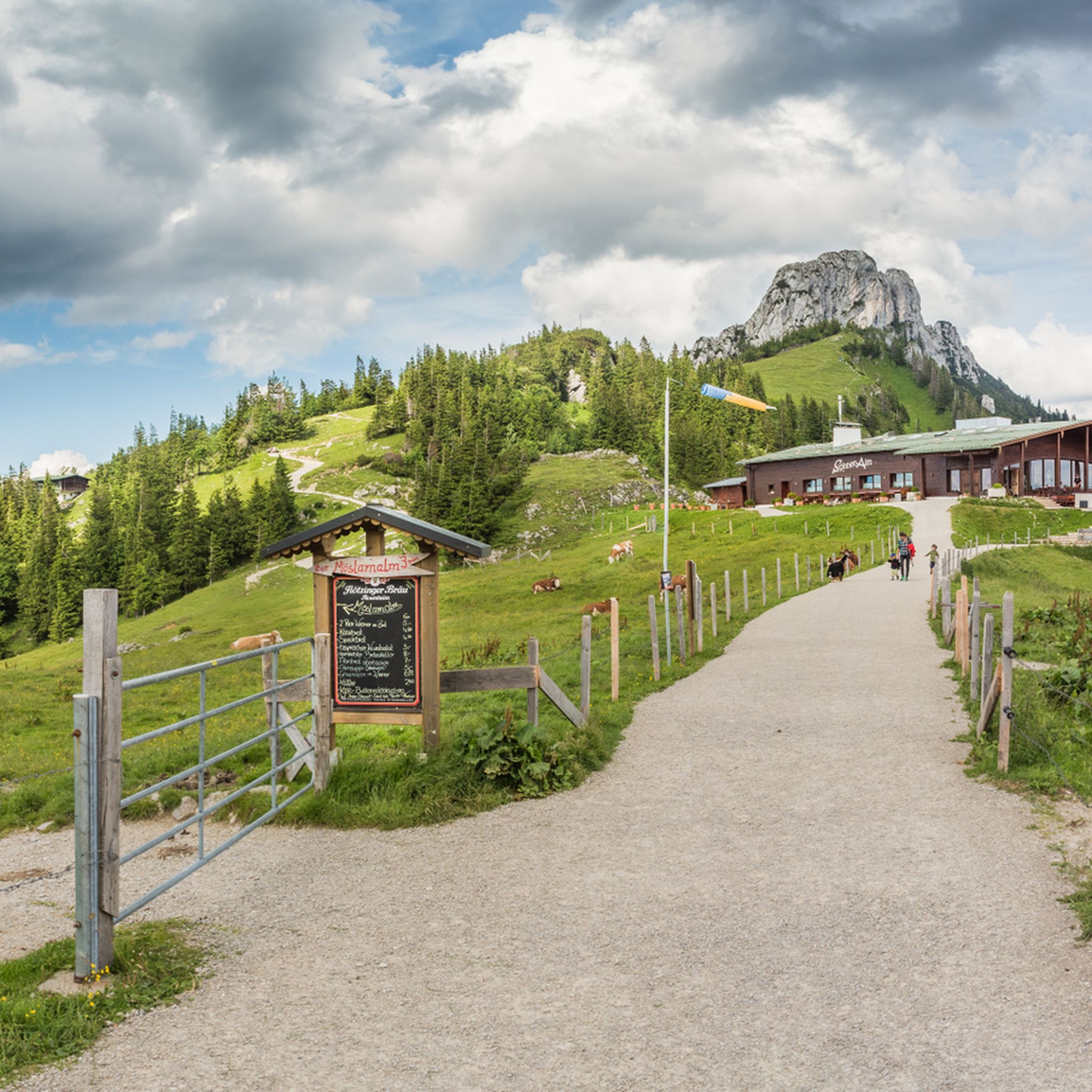
Very nice inn amidst meadows and forests. You can strengthen yourself with Tyrolean home cooking while enjoying the magnificent view. Further information and opening hours can be found here: https://www.moosbauer.info/.
1
0

Everything was renovated last year. It has become super nice and the view is - as promised - beautiful.
0
0

Wanderparkplatz with a bike repair station.
1
0

The paid parking area for hikers is located on the left-hand side of the ST 2093 towards Sachrang, near the village of Hainbach.
1
0
Frequently Asked Questions
How many mountain bike trails are available in Sachrang?
Sachrang offers a diverse network of over 15 mountain bike trails. These routes cater to various skill levels, from technically easy paths to more advanced options, all set within the scenic Chiemgau Alps.
Are there mountain bike trails suitable for beginners in Sachrang?
Yes, Sachrang has mountain bike trails suitable for beginners. While many routes are moderate or difficult, there is at least one easy trail available. The region's extensive network includes wide forest roads that are generally less technically demanding, perfect for those new to mountain biking or looking for a relaxed ride.
What kind of terrain can I expect on mountain bike trails around Sachrang?
You can expect a varied terrain in Sachrang, ranging from wide forest roads and gravel paths to challenging single trails. The landscape transitions from lush meadows and forested foothills to the rugged limestone peaks of the Chiemgau Alps, offering diverse biking experiences. Some routes may include steep sections where dismounting might be necessary.
Are there any family-friendly mountain bike trails in Sachrang?
While specific 'family-friendly' designations can vary, many of Sachrang's easier forest paths and less technical routes are suitable for families with older children or those comfortable with basic mountain biking. Routes with lower elevation gains and smoother surfaces would be ideal. Always check the route details for specific difficulty and terrain before heading out with family.
Can I bring my dog on mountain bike trails in Sachrang?
Generally, dogs are welcome on many trails in the Sachrang region, especially on forest roads and less crowded paths. However, it's crucial to keep dogs on a leash, especially in nature protection areas, near livestock, or on busy trails. Always be mindful of other trail users and local regulations. Ensure your dog is fit enough for the chosen route and has access to water.
What are some scenic viewpoints or natural features I can see while mountain biking in Sachrang?
Many mountain bike routes in Sachrang offer breathtaking panoramic views of the Bavarian Alps, the Wilder Kaiser, and even the distant Zillertal Alps. You can also encounter prominent natural features like the Geigelstein and Spitzstein mountains. For example, the Niederndorfer Berg – View of the Kaisergebirge loop from Sachrang provides stunning vistas of the Kaisergebirge.
Are there mountain bike routes that include waterfalls or castles?
Yes, some routes offer views of impressive landmarks. For instance, the View of Hohenaschau Castle – Schossrinn Waterfall loop from Sachrang features both views of Hohenaschau Castle and the picturesque Schossrinn Waterfall. You can also find other natural attractions like the Entenloch Gorge Suspension Bridge and the Eiben Gorge Viewpoint nearby.
Where can I find refreshments or places to eat along the mountain bike trails?
The Sachrang region is known for its numerous huts and alms that provide opportunities for refreshments. Many routes pass by inviting alpine huts like the Priener Hut, Käser Alm, or Haraualm, where you can enjoy local food and drinks. The route to Spitzsteinhaus is also renowned for its alms.
What is the best time of year to go mountain biking in Sachrang?
The best time for mountain biking in Sachrang is typically from late spring to early autumn (May to October). During these months, the weather is generally pleasant, and trails are clear of snow. Summer offers lush meadows and warmer temperatures, while autumn provides vibrant foliage. Always check local weather conditions before your ride, as conditions can change quickly in the mountains.
Are there any circular mountain bike routes in Sachrang?
Yes, many of the mountain bike trails in Sachrang are designed as loops, allowing you to start and end at the same point. Examples include the Route to Spitzstein – Altkaser Alpine Hut loop from Sachrang and the Burgeralm Cheese Dairy – View of Wandberg and Brennkopf loop from Sachrang. These circular routes are convenient for planning your day's adventure.
What do other mountain bikers enjoy the most about mountain biking in Sachrang?
The mountain biking experience in Sachrang is highly rated by the komoot community, with an average score of 4.7 stars. Reviewers often praise the extensive network of paths, the diverse terrain ranging from forest roads to single trails, and the stunning panoramic views of the Chiemgau Alps and Kaisergebirge. The opportunities for refreshment at numerous alms along the way are also frequently highlighted.
Is parking available for mountain bikers in Sachrang?
Yes, parking is generally available in and around Sachrang, often near trailheads or designated outdoor activity starting points. For example, the Geigelstein Wanderparkplatz is a known starting point. It's advisable to check specific parking options for your chosen route in advance, as some may have fees or limited capacity, especially during peak season.
Can I access mountain bike trails in Sachrang using public transport?
Sachrang is accessible by public transport, which can be a convenient option for reaching trailheads, especially if you plan a one-way route or prefer not to drive. While specific weekend schedules for mountain bikers should be checked with local transport providers, the village's location in the Priental makes it a good starting point for various tours, often with bus connections.
Most popular routes around Sachrang
Most popular attractions around Sachrang

Get inspired with the komoot mobile app


Explore more
Browse the best MTB trails in other regions.
