The best road cycling routes around Careggine
4.4
(168)
4,290
riders
86
rides
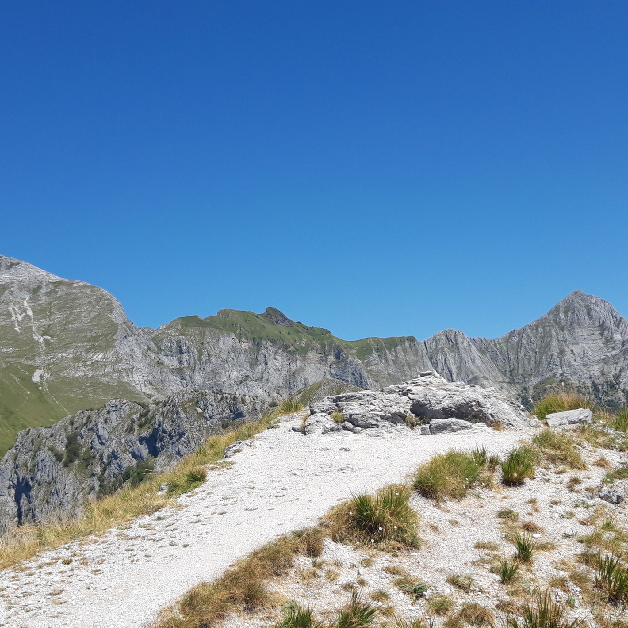
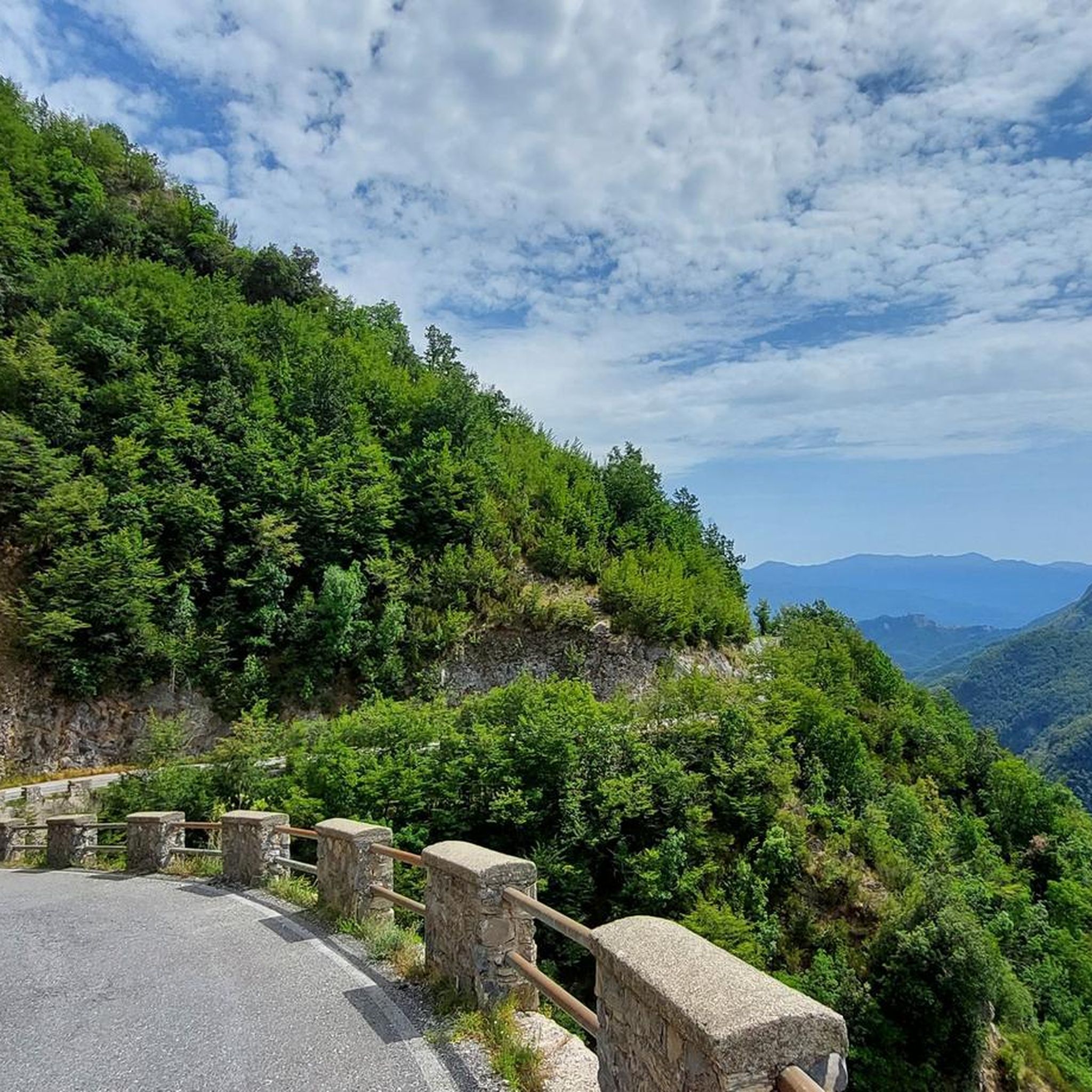
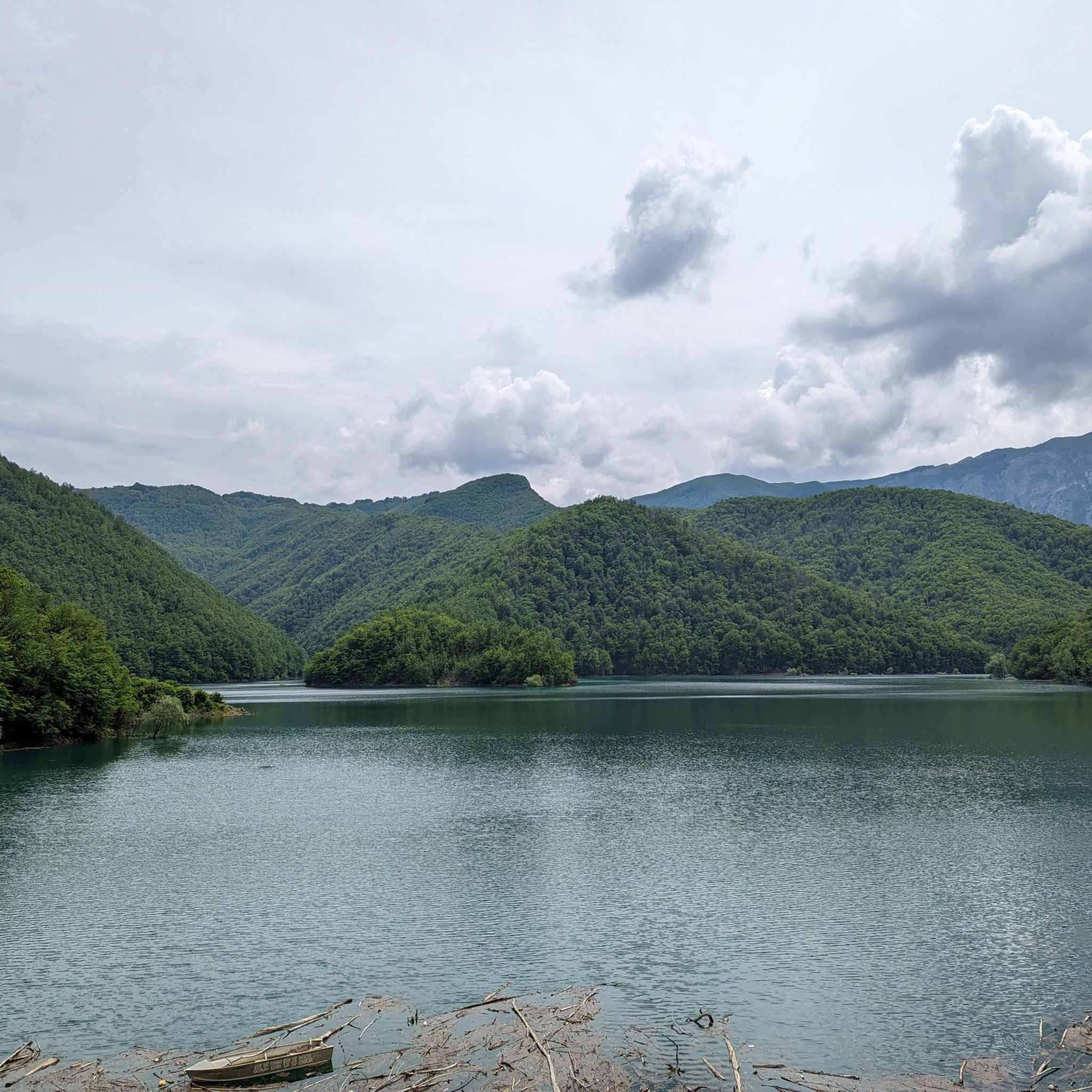
Road cycling around Careggine is characterized by its mountainous terrain within the Garfagnana region of Tuscany. The area features constant elevation changes, with routes traversing the slopes of Monte Sumbra and offering views of the Apuan Alps Park. Cyclists encounter a landscape of forests, meadows, and lakes, including Lake Vagli and the artificial Lake Isola Santa. Winding municipal roads connect small villages built on hilltops, providing varied cycling experiences with significant climbing opportunities.
Best road cycling routes around Careggine
- The…
Last updated: August 23, 2026
5.0
(2)
162
riders
78.4km
04:46
2,090m
2,080m
Hard road ride. Very good fitness required. Some segments of this route may be unpaved and difficult to ride.
48
riders
50.9km
03:12
1,480m
1,480m
Hard road ride. Very good fitness required. Some segments of this route may be unpaved and difficult to ride.

Sign up for free
4.1
(9)
202
riders
109km
05:16
1,440m
1,440m
Hard road ride. Very good fitness required. Mostly well-paved surfaces and easy to ride.
4.0
(10)
138
riders
Moderate road ride. Good fitness required. Mostly well-paved surfaces and easy to ride.
5.0
(3)
74
riders
64.2km
03:41
1,450m
1,450m
Hard road ride. Very good fitness required. Mostly well-paved surfaces and easy to ride.
Get access to more routes and recommendations from other explorers.
Sign up for free
Already have an account?
Our route recommendations are based on thousands of hikes, rides, and runs completed by other people on komoot.
Start today with a free account
Your next adventure awaits.
Login or Signup


Tips from the Community

The Rocca Ariostesca is a medieval fortified military structure located in Castelnuovo di Garfagnana. The rocca is the symbol of the city and overlooks the central Piazza Umberto I. It owes its name to having been the seat of the Este government and to having hosted, from 1522 to 1525, as governor of the Garfagnana of the Este, the poet Ludovico Ariosto, who was succeeded in the following century by Fulvio Testi. A small outpost already existed on the site in the 10th century, but it can be said that the original structure of the Rocca as we know it today dates back to the 12th century; modified throughout the 13th century, it was significantly enlarged in the early 14th century by Castruccio Castracani, who determined an enlargement of the entire village walls. It was then Paolo Guinigi who ordered the construction of the imposing tower located in the center of the Rocca, adorned with the civic clock, which over time was also used as a prison. The terrace overlooking the square was erected in 1675, coinciding with the opening of the monumental arch of access to the city center. The internal furnishings have been lost, among which the tapestries that adorned the "Sala dei Principi" (Hall of the Princes) are known. The Rocca was damaged during the Second World War and subsequently restored. As a venue for exhibitions and cultural events, it houses the Archaeological Museum in its halls, which preserves numerous artifacts and testimonies from the prehistoric, Ligurian-Apuan, and Etruscan periods in Garfagnana.
0
0
The lake of Gramolazzo is a lake in the Apuan Alps located near the homonymous village in the municipality of Minucciano. Of artificial origin, it was created in the second half of the 1900s, together with the lake of Vagli by SELT Valdarno for the hydroelectric use of the Serchio river and its tributaries. The lake, which has a surface area of one square kilometer and a volume of 3.8 million cubic meters, has both the Serchio di Gramolazzo as its inflow and outflow, one of the two branches that, joining near Piazza al Serchio, form the Tuscan river. Another important stream that flows into the lake is the Acqua Bianca stream, which coming from Mount Pisanino crosses the village of Gorfigliano. A large part of the water, however, is fed through a channel on the left bank, near the dam, which with a maximum flow rate of 20 cubic meters per second discharges the waters captured from the Serchio into the Sillano valley. The waters of the lake of Gramolazzo feed the Fabbriche power plant which in turn discharges them into the lake of Vagli.
0
0

A fantastic parish church that's worth a visit. The interior, especially, is truly beautiful.
0
0

A must-see with sweeping views of the surrounding mountains, all immersed in lush greenery.
0
0
The place is cool and quiet during the week. Canoe rentals are available for lake excursions.
0
0

The parish church of Codiponte of Saints Cornelio and Cipriano is among the most fascinating and artistically rich in the territory of the ancient Diocese of Luni. With its figurative capitals and its artistic masterpieces, it is a true paradigm of the Lunigiana Romanesque. The parish church stands on the right bank of the Aulella, near a bridge beyond which, in the distance, you can see the ruins of the 11th-century Bianchi d'Erberia castle. The church has a basilica plan with three naves with columns and round arches and perfectly preserved notched cubic capitals, which bear figures typical of the medieval image system: the tree of life, lily, six-petalled daisy, serpent with feet, two-tailed mermaid and many others. The late medieval triptych with the Virgin on the throne, the SS. Cornelius and Cyprian, the church's patron saints, and the image of the Holy Face, a famous and venerated Lucchese relic, which recalls the passage of the Via del Volto Santo in these very places.
0
0
Characteristic village of the upper Aulella valley, nestled along the crest of a rocky spur, the town still today winds along an axis that has at its center the baroque church (17th century), dedicated to San Martino, with a singular façade. On the sides of the monument, two pedestrian streets with a slight difference in level run between tightly packed stone houses, softened by arches and portals. Farmyards, terraces and open spaces open the view onto a lush nature.
0
0

Ponte della Maddalena, or Ponte del Diavolo, is one of those places that will leave you speechless. It is located in Borgo a Mozzano and is truly unique with its very high arch and slightly crooked shape that makes it different from any other medieval bridge. It is absolutely worth stopping: the atmosphere is special. Crossing it on foot is an experience, and if you are on a bike, be careful of the stone section that can be slippery. There is also a bar nearby with a beautiful view of the bridge, perfect for a break before getting back on the road.
2
0
Frequently Asked Questions
How many road cycling routes are available around Careggine?
There are over 75 road cycling routes around Careggine, offering a wide range of options for cyclists. These include 35 moderate and 43 difficult routes, catering to various fitness levels.
What is the terrain like for road cycling in Careggine?
Road cycling around Careggine is characterized by its mountainous terrain within the Garfagnana region of Tuscany. You can expect constant elevation changes, with routes traversing the slopes of Monte Sumbra and offering views of the Apuan Alps Park. Some routes feature gradients as steep as 18%, providing significant climbing opportunities. The winding municipal roads connect small villages, offering a varied cycling experience.
What notable landmarks or natural features can I see while road cycling in Careggine?
While cycling, you can enjoy breathtaking panoramas of the surrounding mountains, valleys, rivers, and lakes, including the striking Lake Vagli and the artificial Lake Isola Santa. The Monte Forato Natural Arch is a distinctive natural monument visible from nearby peaks. You might also pass by the Passo del Vestito, offering stunning views.
Are there any historical villages to explore along the routes?
Yes, many routes pass through charming historical villages. You can ride through and explore numerous small, historic villages like Isola Santa, Ceserana, Lupinaia, Fosciandora, Migliano, Fiattone, Perpoli, and Castiglione di Garfagnana. These villages often feature ancient fortresses and Romanesque churches, such as the Castelnuovo di Garfagnana, offering cultural insights alongside your ride.
Are there any circular road cycling routes in Careggine?
Yes, Careggine offers several excellent circular routes. For example, the Garfagnana Lakes Loop is a popular difficult 50.9 km path providing scenic views. Another option is the Castelnuovo di Garfagnana – Lake Gramolazzo loop from Poggio-Careggine-Vagli, a challenging 80.1 km trail through diverse terrain.
What do other road cyclists enjoy most about road cycling in Careggine?
The area is highly rated by the komoot community, with an average score of 4.2 stars from over 100 reviews. Road cyclists often praise the extensive climbs through the region's notable lake districts and valleys, the scenic views of the Garfagnana lakes, and the quiet, winding roads that connect picturesque villages.
Are the roads generally quiet for cycling in Careggine?
Yes, the roads in the Garfagnana region, including Careggine, are generally quiet. This allows for an immersive cycling experience through natural beauty and historic settings, often with glimpses of wooded hills and local wildlife.
Is parking available for cyclists in Careggine?
While specific dedicated cyclist parking areas are not detailed, Careggine is a small municipality, and public parking is typically available in or near the village centers. It's advisable to check local signage upon arrival for the most suitable spots.
Can I use public transport with my bike in Careggine?
Information regarding public transport options specifically accommodating bikes in Careggine is limited. Given the mountainous and rural nature of the region, public transport might be less frequent and less equipped for bikes compared to larger urban areas. It's recommended to plan your routes with this in mind.
Are there any permits required for road cycling in Careggine?
Generally, no specific permits are required for road cycling on public roads in Careggine or the surrounding Garfagnana region. However, if you plan to venture into specific protected areas or private lands, it's always wise to check for any local regulations.
Are there family-friendly road cycling routes in Careggine?
Careggine's terrain is predominantly mountainous with significant elevation changes, making most road cycling routes moderate to difficult. While there are no routes specifically categorized as 'easy' in the guide data, families with older, experienced cyclists might find some of the moderate routes manageable, but should be prepared for climbs.
What is the best time of year for road cycling in Careggine?
The region offers year-round outdoor activities, but for road cycling, spring and autumn generally provide the most pleasant weather with milder temperatures and beautiful scenery. Summer can be warm, especially on climbs, while winter might see snow at higher elevations, making it more suitable for winter sports.
Most popular routes around Careggine
Most popular attractions around Careggine

Get inspired with the komoot mobile app


Explore more
Browse the best Road cycling routes in other regions.
