The best walks and hikes around Garessio
4.5
(380)
1,945
hikers
68
hikes
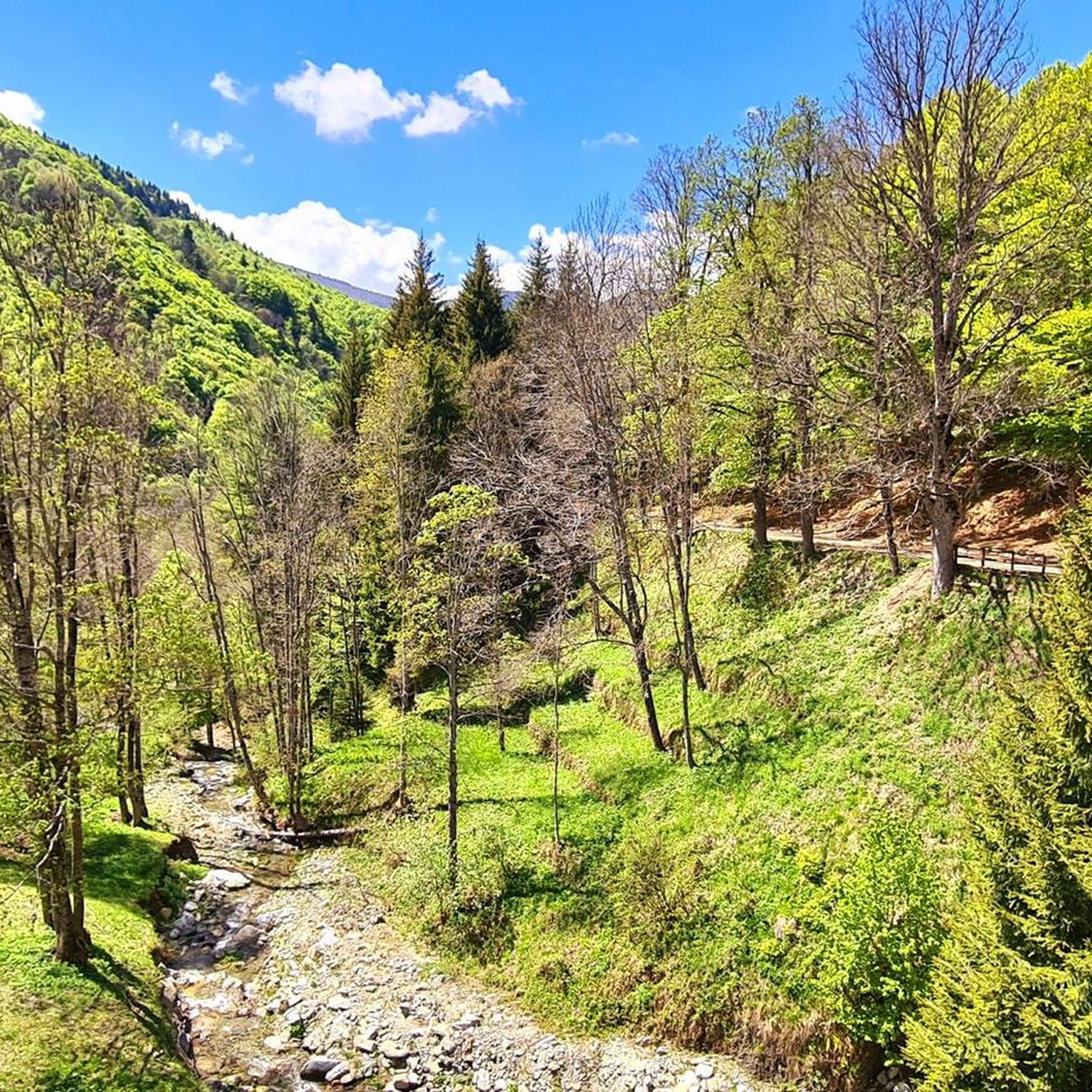
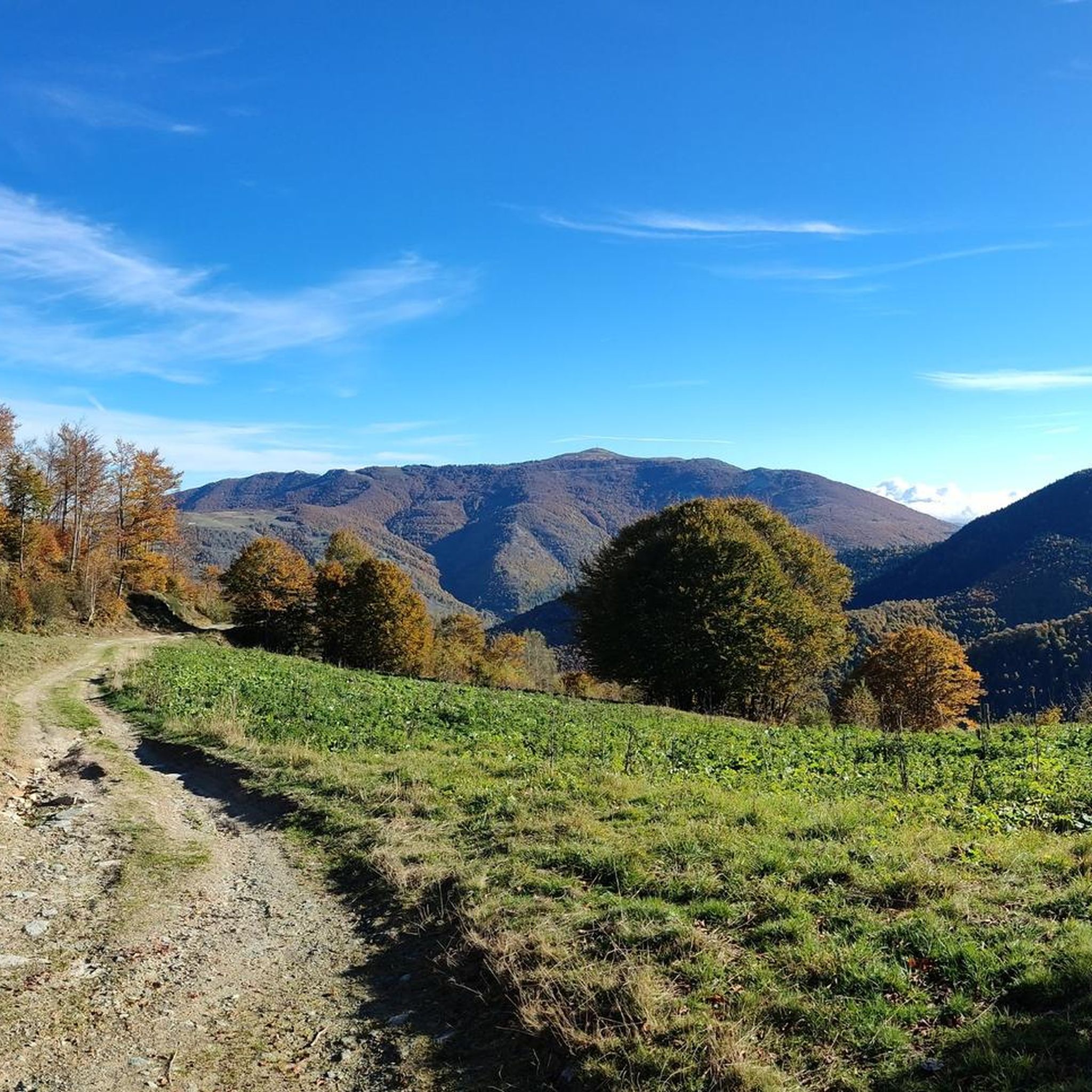
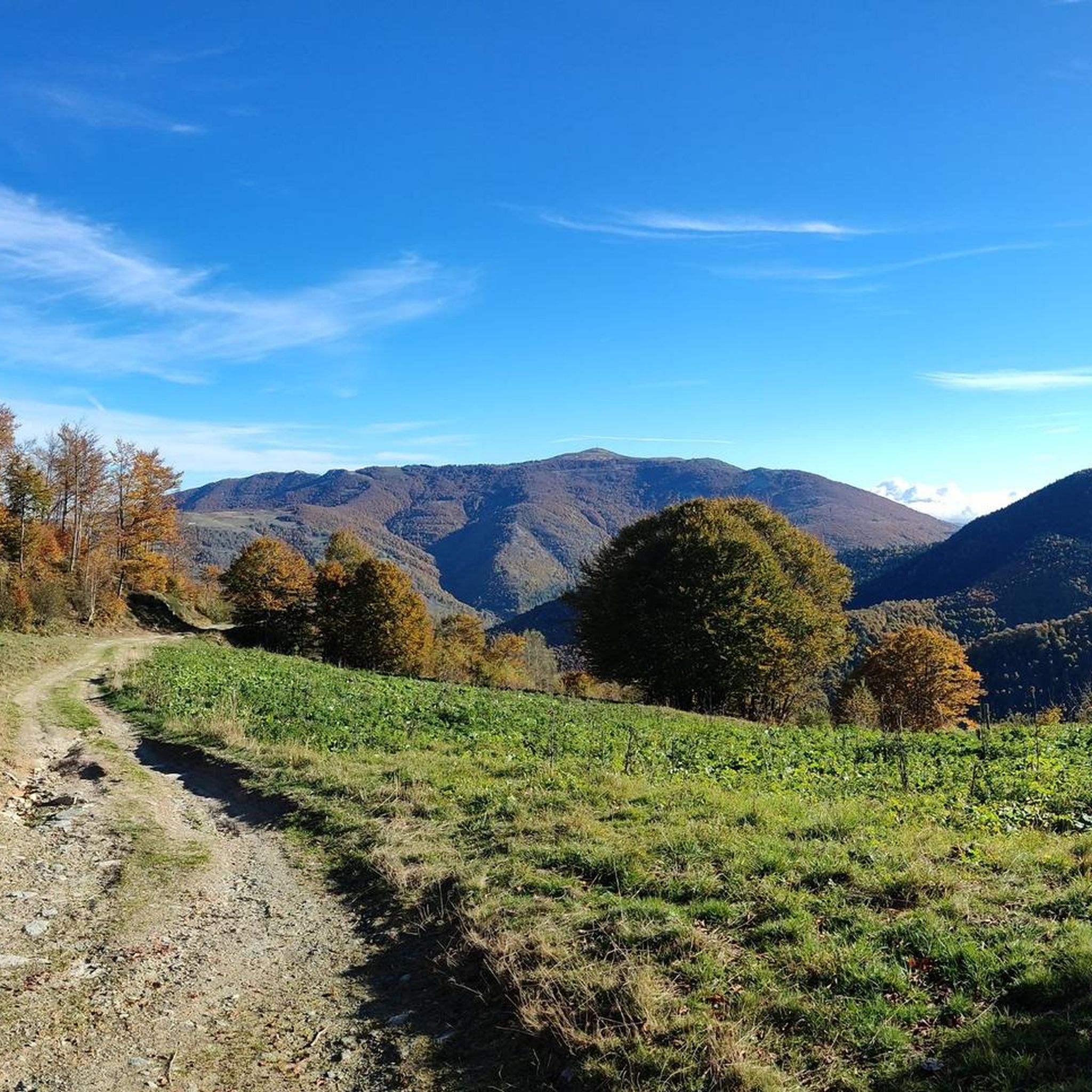
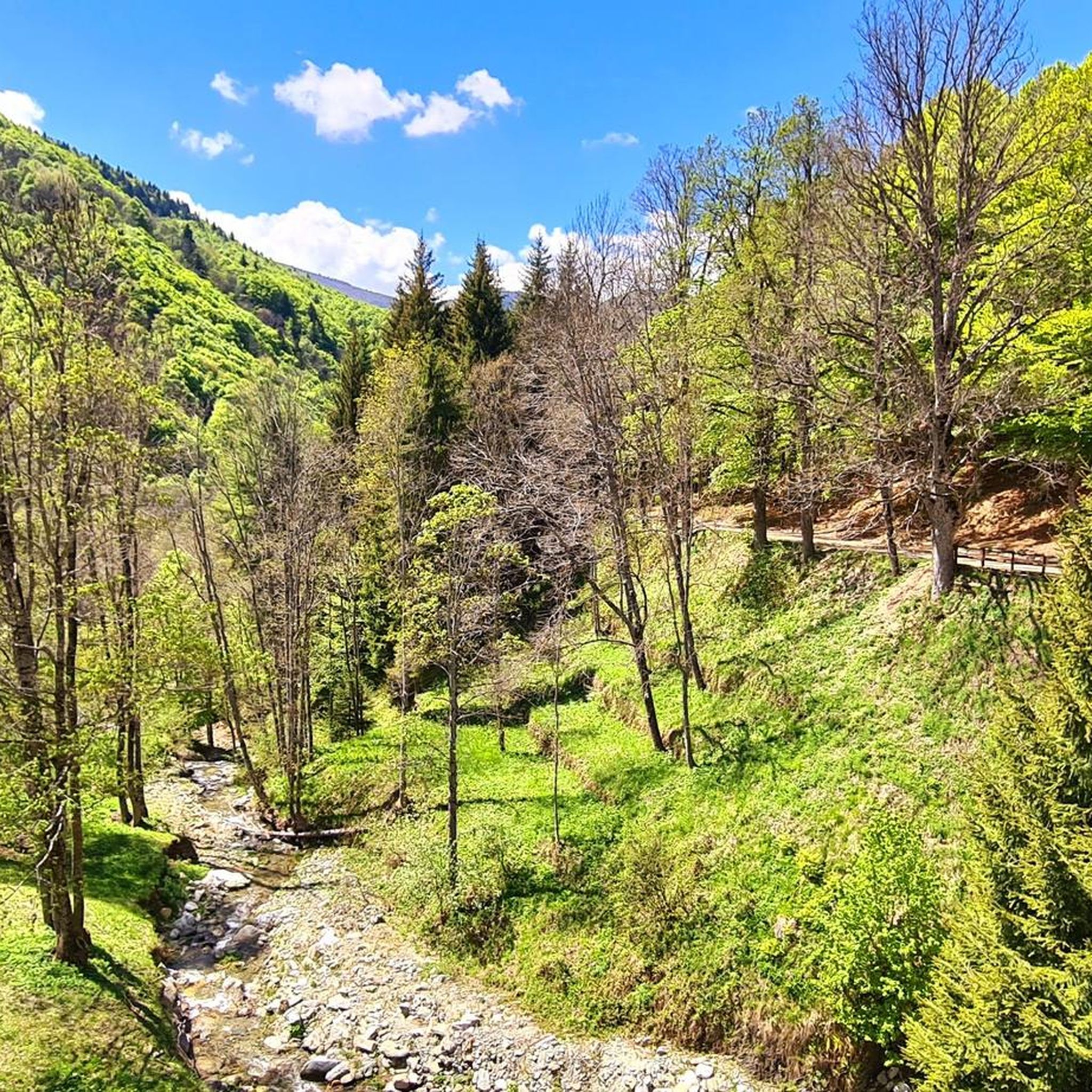
Hiking around Garessio offers access to diverse landscapes within the Tanaro Valley, situated at the foot of the Ligurian Alps. The region features peaks such as Monte Mindino and Monte Galero, alongside lush forests of chestnut and beech. The Tanaro River flows through the area, complementing the mountainous terrain with natural springs and unique rock formations.
Best hiking trails around Garessio
- The most popular hiking route is Bric Mindino - Prato Rotondo Loop Trail, a 7.4 miles (11.9 km) trail that takes 4 hours 4 minutes to complete. This moderate route offers views of the surrounding alpine landscape.
- Another top favourite among local hikers is Bric Mindino and Colle di Prato Rotondo Loop, a moderate 5.7 miles (9.2 km) path. This trail winds through forests and high-altitude pastures, providing varied scenery.
- Local hikers also love the Monte Galero Summit Trail from Colle San Bernardo (via A01), a 6.9 miles (11.1 km) trail leading through the Ligurian Alps, often completed in about 4 hours 7 minutes.
- Hiking around Garessio is defined by mountainous terrain, dense forests, and the Tanaro River valley. The extensive network of routes offers options for various ability levels, from moderate forest paths to more challenging summit ascents.
- The routes in Garessio are highly rated by the komoot community with an average score of 4.5 stars from more than 300 reviews. More than 1,700 hikers have used komoot to explore Garessio's varied terrain.
Last updated: July 7, 2026
4.6
(30)
114
hikers
11.9km
04:05
580m
580m
Embark on the Bric Mindino - Prato Rotondo Loop Trail, a moderate hiking route that takes you through a variety of landscapes. You will traverse dirt roads and stony paths, winding through dense forests of beech and conifers before opening up into expansive grassy meadows. The highlight of this 7.4-mile (11.9 km) journey is reaching the summit of Bric Mindino, where an imposing 25-meter-high cross marks the peak. From this vantage point, after gaining 1905 feet (581 metres) of elevation over an estimated 4 hours and 4 minutes, you can enjoy sweeping 360-degree panoramic views that stretch from the Alpine arc all the way to the Ligurian coast and even Corsica on a clear day.
Planning your hike on the Bric Mindino - Prato Rotondo Loop Trail is straightforward, as parking is generally available right at the starting point. While you can access the route year-round, it is particularly recommended for spring and autumn when the weather and natural beauty are at their best. If you plan to visit during winter, be aware that snow conditions might require you to use snowshoes to complete the trail safely. Consider starting your hike early to make the most of the daylight and the views.
This trail stands out in the region for its unique combination of diverse forest environments and the spectacular, far-reaching vistas from Bric Mindino. The summit offers a rare opportunity to see such a vast panorama, connecting the high Alps with the Mediterranean Sea. It is a rewarding outing for hikers who appreciate both varied terrain and the payoff of an expansive view, making it a memorable experience in the Ligurian Alps.
4.7
(23)
83
hikers
9.18km
03:38
550m
550m
Embark on the Bric Mindino and Colle di Prato Rotondo Loop, a moderate hiking route that takes you through diverse terrain, from wide dirt roads in forests to narrower paths across meadows and beech groves. This 5.7-mile (9.2 km) journey involves a significant elevation gain of 1790 feet (546 metres), typically completed in about 3 hours and 38 minutes. The highlight is reaching the summit of Bric Mindino, marked by an imposing 25-meter tall cross, offering a rewarding sense of accomplishment.
When planning your visit, you will find ample parking available directly at the starting point in Colla di Casotto, making access straightforward. The trail is generally accessible throughout the year, though you should be aware that it transforms into a popular snowshoeing route during winter months, depending on snow conditions. Always check local forecasts before heading out, especially during colder seasons.
From the Bric Mindino summit, you are treated to a spectacular 360-degree panorama. On clear days, your gaze can sweep across the Alpine arc, taking in prominent peaks like Monviso and Monte Rosa, and even extend all the way to the Ligurian Sea and the Gulf of Genoa. This unique vantage point makes the route a standout experience in the Piedmont region, connecting mountain grandeur with distant coastal views.

Sign up for free
4.6
(27)
81
hikers
11.1km
04:07
560m
560m
Embark on the Monte Galero Summit Trail, a moderate hike that guides you through the diverse landscapes of the Ligurian Alps. You will traverse ancient beech and birch forests, passing by abandoned houses, before reaching higher elevations where rocky pinnacles rise dramatically from Monte Galero's western ridge. This route covers 6.9 miles (11.1 km) with an elevation gain of 1836 feet (559 metres), typically taking around 4 hours and 7 minutes to complete.
To begin your adventure, drive to Colle San Bernardo, which is approximately six kilometers from Garessio. Parking is conveniently available near the old toll house at the trailhead. This starting point offers straightforward access, allowing you to quickly immerse yourself in the natural beauty of the area without complicated logistics.
This trail is part of the renowned A01 route, a segment of the Alta Via dei Monti Liguri, adding a layer of historical significance to your journey. As you ascend, you will be rewarded with 360-degree views stretching from the Alpine arc to the distant Mediterranean Sea. The summit of Monte Galero itself marks the border between Liguria and Piedmont, offering a unique geographical perspective.
5.0
(5)
27
hikers
13.4km
06:12
1,060m
1,060m
Embark on the Monte Antoroto e Monte Grosso loop tour for a challenging hike through Valle Tanaro, covering 8.3 miles (13.4 km) with a significant 3467 feet (1057 metres) of elevation gain. This difficult route typically takes around 6 hours and 11 minutes to complete, offering continuously evolving scenery. You will begin on a paved road that soon becomes a mule track, winding past charming isolated houses before entering dense beech woods. As you climb higher, the landscape transforms into an alpine environment, featuring alders and rhododendrons, with areas rich in blueberries and raspberries during season. The ascent to Monte Antoroto is a decided climb, taking you beneath distinctive white limestone towers on a spur of Monte Grosso, a visual landmark that stands out against the green. From the summits of both Monte Antoroto and Monte Grosso, you can enjoy magnificent 360° panoramic views, potentially stretching to the sea of Albenga and even the Matterhorn on clear days. Some sections of the ascent to Antoroto, especially from Colla Bassa, can be challenging and slightly slippery.
This loop tour starts from Valdinferno and is rated as a hard hike, demanding good physical conditioning and sure-footedness. The path is generally well-marked with red or red-and-white signs, though some less-frequented areas might have less evident trails. While possible year-round with the right experience, the best periods for this hike are generally spring and autumn. If you plan a winter ascent, be aware that the South ridge of Monte Grosso may necessitate the use of crampons and an ice axe due to its steepness and snow conditions, as some parts are not passable with snowshoes.
What makes this route particularly notable is the opportunity to summit two significant peaks in the Ligurian Alps within a single outing, providing a diverse hiking experience from lush forests to exposed ridges. The trail offers a rich mix of natural beauty, including varied flora and geological features like the distinctive white limestone formations of Monte Antoroto. The area around Valdinferno itself is considered beautiful, with a local legend attributing its name to Napoleon. You can also find Rifugio Savona as a potential resting point, enhancing the appeal of this extended trek.
5.0
(1)
7
hikers
17.0km
07:24
1,090m
1,090m
Embark on the challenging Climb to Monte Antoroto — Ring tour, a difficult hike in the Ligurian Alps of Piedmont, Italy. This route spans 10.6 miles (17.0 km) and involves a significant elevation gain of 3583 feet (1092 metres), typically taking around 7 hours and 23 minutes to complete. From the rounded peak of Monte Antoroto, you will be rewarded with a spectacular 360-degree panoramic view on clear days. While much of the path is accessible, be prepared for sections that demand sure-footedness, as this is considered a hard hike requiring good fitness and alpine experience.
Planning for this demanding alpine hike means ensuring you have very good fitness, sturdy shoes, and some alpine experience. The trail is rated with a difficulty level corresponding to SAC 4–6, indicating its challenging nature. Always check weather conditions before you go, as clear days are essential to fully appreciate the extensive panoramic views. Be ready for a full day on the mountain.
Monte Antoroto itself is a prominent mountain in the Ligurian Alps, primarily composed of sedimentary limestone. Its extraordinary panoramic summit views are a major highlight, allowing you to see a vast expanse of the Western Alps, the Ligurian Apennines, and even the Ligurian Sea and Gulf of Genoa on clear days. The mountain is also clearly visible from the towns of Valdinferno and Ormea, which lie at the foot of its southern cliffs.
Get access to more routes and recommendations from other explorers.
Sign up for free
Already have an account?
Our route recommendations are based on thousands of hikes, rides, and runs completed by other people on komoot.
Start today with a free account
Your next adventure awaits.
Login or Signup

Tips from the Community

Magnificent place
0
0

Beautiful peak over 2000m from which you can enjoy an enviable panorama that ranges from Corsica to the Alpine peaks of 4000. In late winter/early spring its North East face offers the opportunity for a fun and non-trivial mountaineering climb on snow.
0
0


In July 2023 the refuge was closed for renovation.
0
0
Mount Antoroto is 2,144 m high and is located in the Ligurian Alps. When I went up I was completely in the clouds but on clear days I can imagine a spectacular 360° view as there are no higher mountains nearby to obstruct the view.
2
0
Summit reachable from Garessio 2000 with a comfortable walk, if the weather is fine the view is extraordinary
0
0
This pass is a crossroads for several paths, I passed through here passing from Monte Grosso to Monte Antoroto and back to reach the Savona refuge.
1
0
Frequently Asked Questions
How many hiking trails are available around Garessio?
Garessio offers a wide selection of hiking routes, with over 60 trails catering to various skill levels. This includes 6 easy routes, 37 moderate routes, and 21 difficult routes, ensuring options for everyone from beginners to experienced trekkers.
What is the best time of year to go hiking in Garessio?
The best time for hiking in Garessio is generally from spring through autumn, when the weather is mild and the alpine flora is vibrant. Summer offers warmer temperatures for higher altitude trails, while spring and autumn provide pleasant conditions for lower elevation walks through forests of chestnut and beech. Winter hiking is possible, especially on lower trails, but higher mountain routes may require snowshoes or specialized equipment.
Are there options for beginner hikers in Garessio?
Yes, Garessio has several easy hiking options suitable for beginners. These trails often wind through the lush forests and offer gentle ascents, allowing you to enjoy the natural beauty of the Tanaro Valley without significant challenge. Look for routes marked as 'easy' on komoot to find suitable paths.
What kind of terrain can I expect on hikes around Garessio?
Hikes around Garessio feature diverse terrain, ranging from lush forests of chestnut and beech to high-altitude pastures and rocky mountain paths in the Ligurian Alps. You'll encounter paths along the Tanaro River, as well as unique geological formations like the 'Brecce del Galero' or 'Stone Gendarmes' on higher routes.
What natural features can I see while hiking near Garessio?
While hiking near Garessio, you can explore the diverse landscapes of the Ligurian Alps, including peaks like Monte Mindino and Monte Galero. The region is rich in natural springs and features the Tanaro River. Keep an eye out for unique rock formations such as the 'Brecce del Galero' and the extensive forests of chestnut and beech.
Are there any historical or cultural sights accessible from the trails?
Yes, several trails offer access to historical and cultural sights. You can hike to the San Bernardo delle Forche Sanctuary, which provides panoramic views over Garessio and the Tanaro Valley. The historic center of Garessio itself, known as Borgo Maggiore, is recognized as one of Italy's 'most beautiful villages' and offers pleasant walks through its medieval architecture.
Are there any huts or refuges available along the hiking routes?
Yes, there are huts and refuges in the vicinity of Garessio that can serve as resting points or overnight stays on longer treks. Notable options include the Balma Hut, Mongioie Hut, and Pian delle Bosse Mountain Hut. These can be valuable resources, especially for more challenging or multi-day hikes.
Are there any challenging hikes for experienced trekkers?
Absolutely. Garessio offers 21 difficult routes for experienced trekkers. For a demanding ascent, consider the Monte Antoroto e Monte Grosso – loop tour in Valle Tanaro, which involves over 1000 meters of elevation gain. Another challenging option is the Climb to Monte Antoroto — Ring tour, offering a significant workout and rewarding views.
Can I find circular hiking routes in Garessio?
Yes, Garessio features several excellent circular hiking routes. A popular choice is the Bric Mindino - Prato Rotondo Loop Trail, which offers a moderate challenge and takes you through varied landscapes. Another highly-rated option is the Bric Mindino and Colle di Prato Rotondo Loop, perfect for experiencing the region's forests and pastures.
Are there hikes with good viewpoints in Garessio?
Many hikes in Garessio offer spectacular viewpoints. Trails around Monte Mindino provide panoramic vistas of the surrounding alpine landscape. The ascent to the San Bernardo delle Forche Sanctuary also rewards hikers with expansive views over Garessio and the Tanaro Valley. On clear days, some higher points in the Ligurian Alps can even offer distant glimpses of the Ligurian Sea.
Is Garessio a dog-friendly hiking destination?
Generally, Garessio is a dog-friendly area for hiking. Many trails pass through natural environments like forests and mountain paths where dogs are welcome, provided they are kept under control and owners adhere to local regulations, such as cleaning up after their pets. Always check specific trail rules or protected area guidelines if you plan to hike with your dog.
Are there family-friendly hiking options around Garessio?
Yes, Garessio offers several family-friendly hiking options. These typically include easier, shorter routes with less elevation gain, often through forests or along the Tanaro River. These paths are ideal for families with children, allowing everyone to enjoy the natural beauty of the region at a comfortable pace. Look for 'easy' rated trails on komoot for suitable choices.
What do other hikers enjoy most about the trails in Garessio?
The trails in Garessio are highly rated by the komoot community, with an average score of 4.5 stars from over 300 reviews. Hikers frequently praise the diverse mountainous terrain, the dense forests, and the scenic beauty of the Tanaro River valley. The extensive network of routes, offering options for various ability levels, is also a highlight for many visitors.
How long do hikes typically take in Garessio?
Hiking durations in Garessio vary significantly depending on the route's length and difficulty. Moderate trails like the Bric Mindino - Prato Rotondo Loop Trail typically take around 4 hours. More challenging routes, such as the Monte Antoroto e Monte Grosso loop, can take 6 hours or more due to their greater distance and elevation gain.
Most popular attractions around Garessio

Get inspired with the komoot mobile app


Explore more
Browse the best Hikes in other regions.
