The best MTB trails around Rettenschöss
4.6
(6443)
26,736
riders
328
rides
Mountain biking around Rettenschöss, nestled in Austria's Kaiserwinkl region, offers diverse terrain for cyclists. The area is defined by the imposing Mount Zahmer Kaiser and surrounding Tyrolean mountains, with elevations ranging from 600 to 1,450 meters above sea level. Riders can explore varied landscapes, from forested areas providing shade to higher, more exposed trails, often with views of the expansive River Inn Valley. The region's infrastructure supports a wide network of mountain bike trails, catering to various skill levels.
Best…
Last updated: September 25, 2026
4.7
(202)
751
riders
27.5km
02:38
800m
800m
Moderate mountain bike ride. Good fitness required. Suitable for all skill levels.
4.7
(125)
546
riders
51.7km
04:33
1,350m
1,350m
Hard mountain bike ride. Very good fitness required. Advanced riding skills necessary. Some portions of the route may require you to push your bike.

4.8
(65)
267
riders
65.2km
03:58
710m
710m
Moderate mountain bike ride. Good fitness required. Suitable for all skill levels.
4.8
(38)
188
riders
16.7km
01:31
570m
570m
Hard mountain bike ride. Good fitness required. Advanced riding skills necessary. Some portions of the route may require you to push your bike.
4.5
(46)
172
riders
28.0km
02:00
380m
380m
Hard mountain bike ride. Good fitness required. Advanced riding skills necessary. Some portions of the route may require you to push your bike.
Get access to more routes and recommendations from other explorers.
Already have an account?
Our route recommendations are based on thousands of hikes, rides, and runs completed by other people on komoot.
Start today with a free account
Your next adventure awaits.
Popular around Rettenschöss
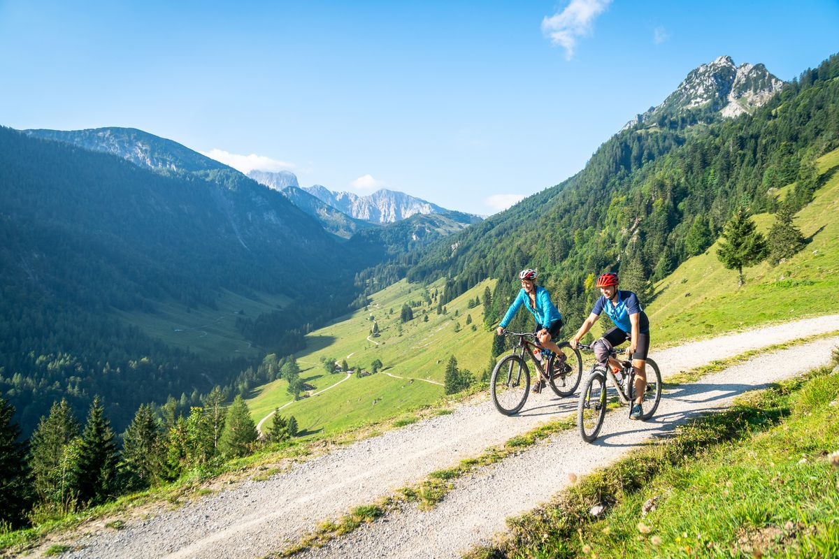
5 insider tips in Austria — wonderful MTB tours in Kaiserwinkl
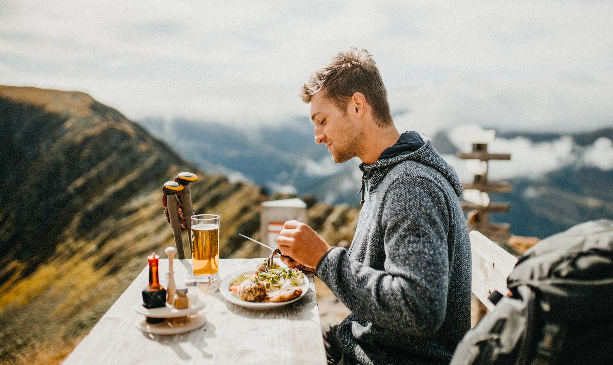
Mountain pastures and local dishes — hiking to the Tyrolean alpine huts
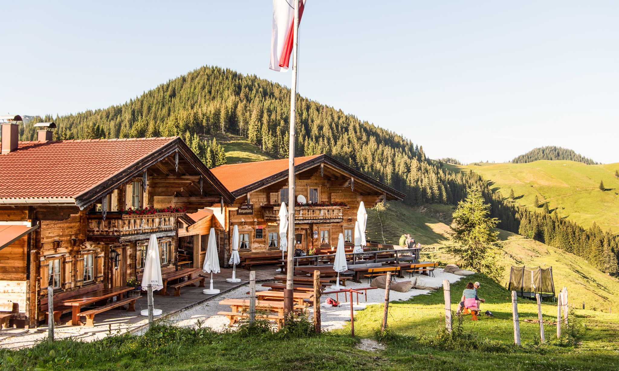
For mountaineers and gourmets – Tyrolean hikes for foodies
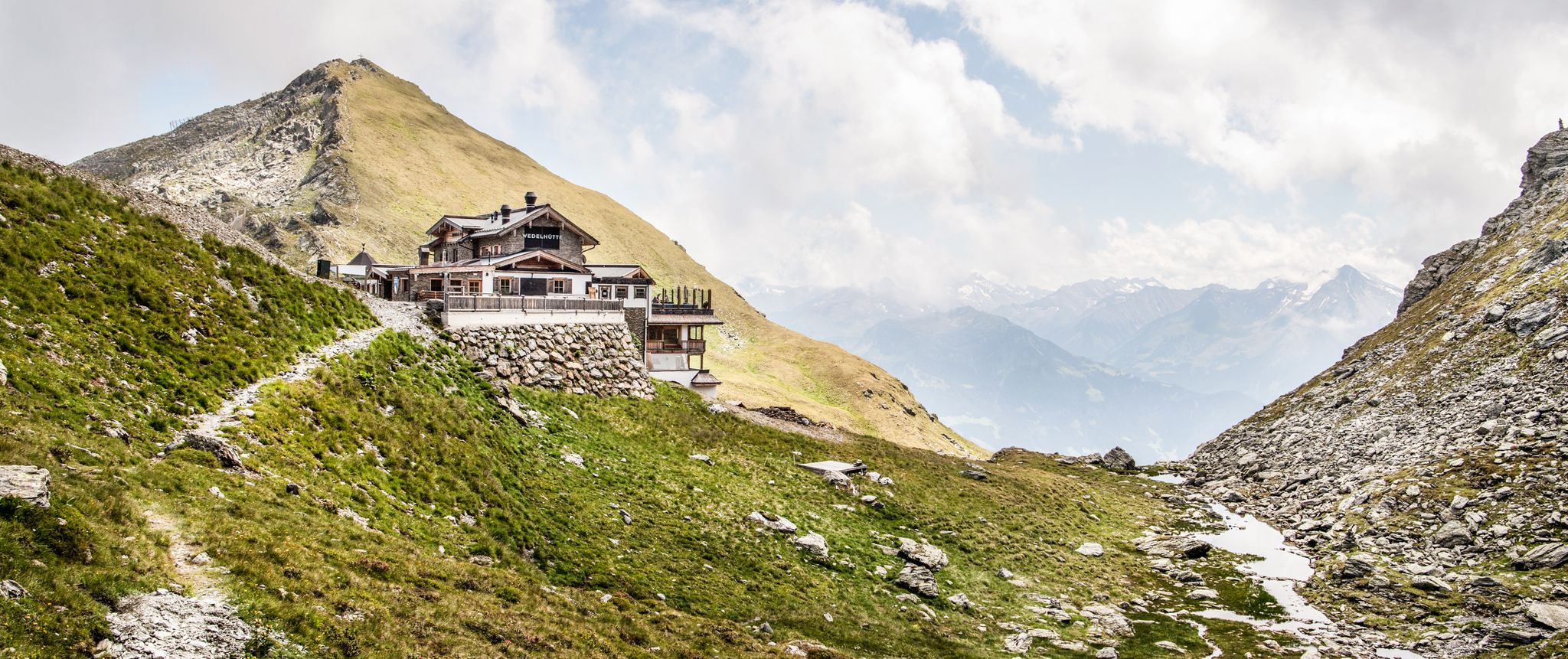
Amazing hiking & gourmet feasts – Taste of Place tours in Tyrol

Alles außer gewöhnlich – Tirol für Genießer
Road Cycling Routes around Rettenschöss
Hiking around Rettenschöss
Cycling around Rettenschöss
Mountain Hikes around Rettenschöss
Gravel biking around Rettenschöss
Other adventures around Rettenschöss


Tips from the Community

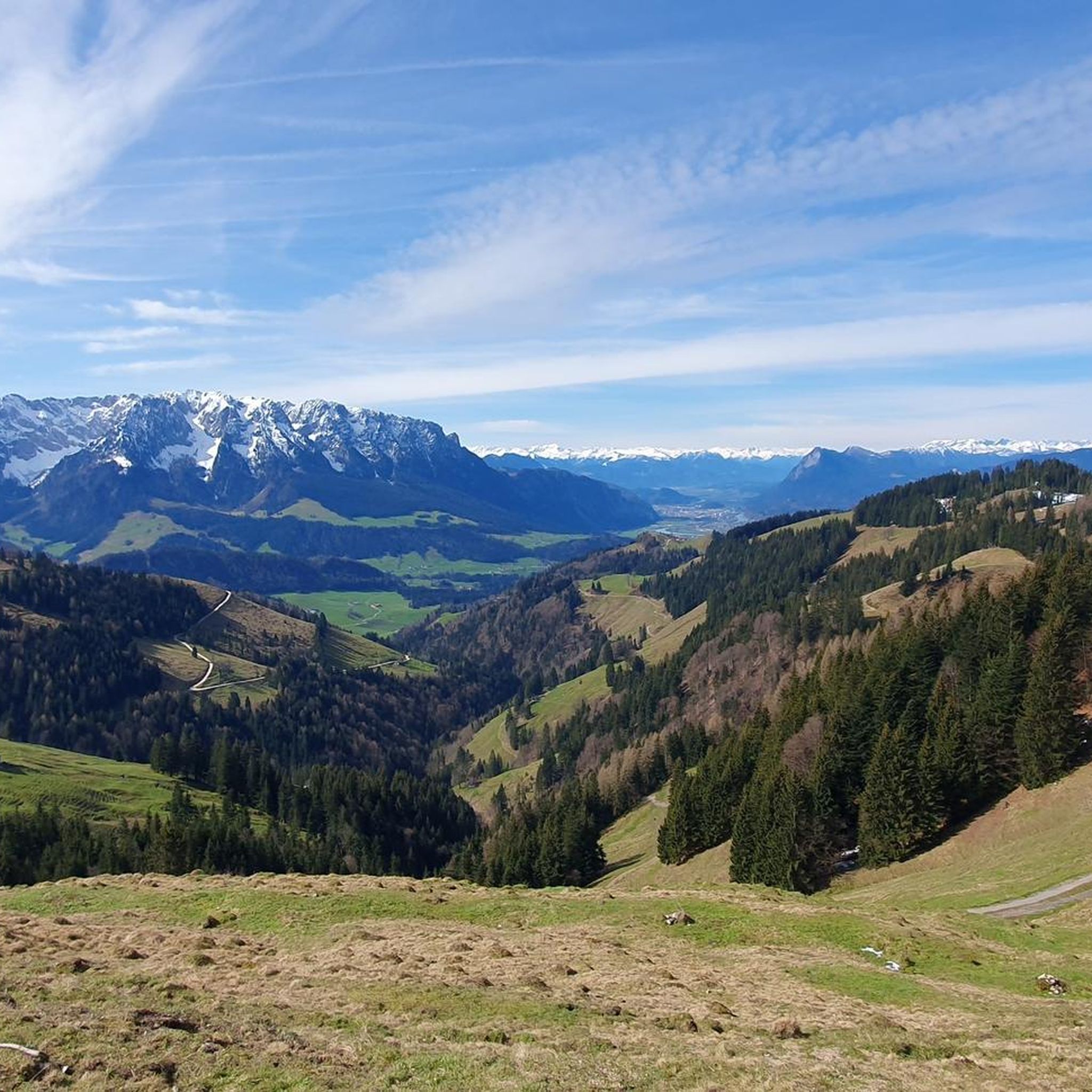
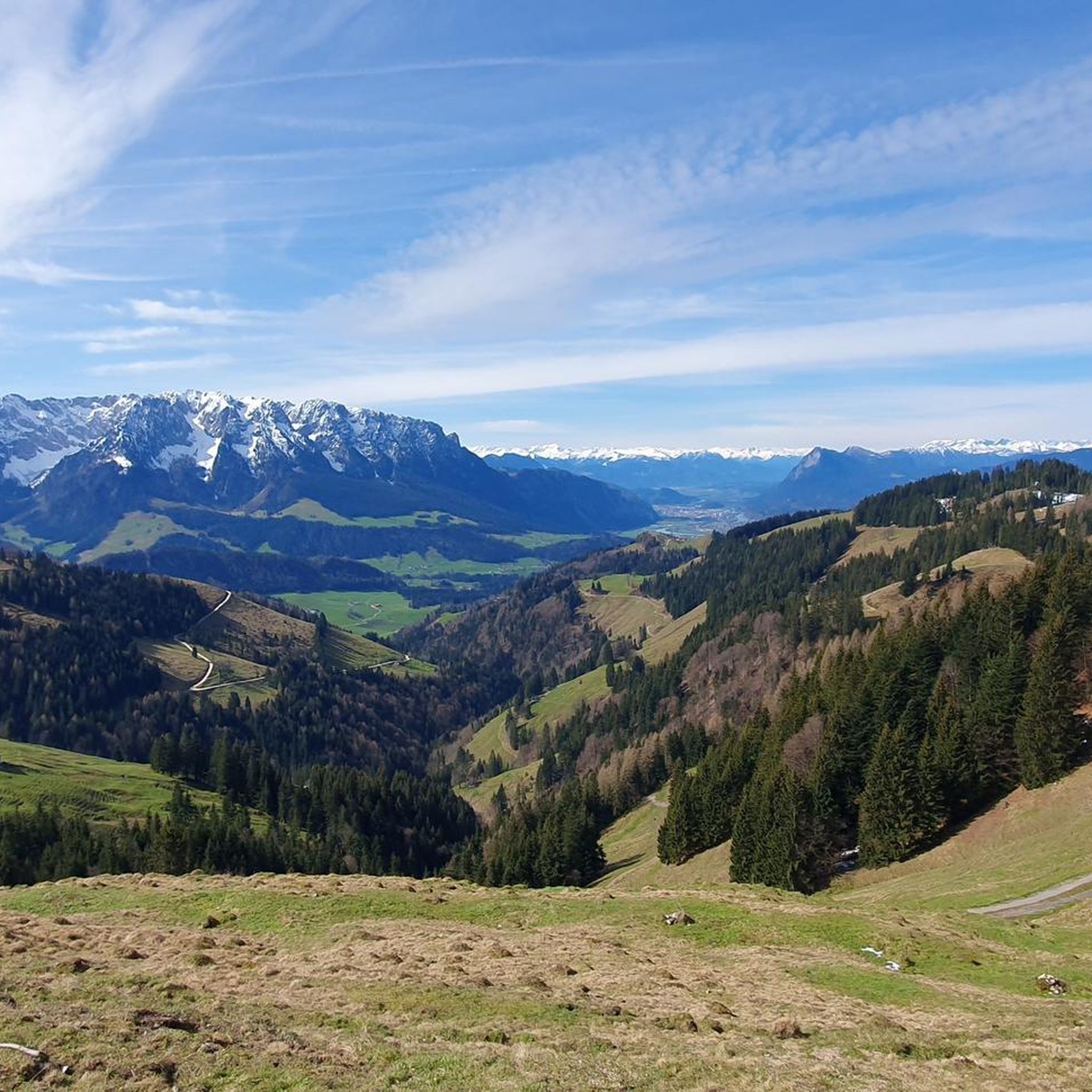
Particularly beautiful starting points are Ellmau, Going, Scheffau, Söll, Kufstein and St. Johann. For more leisurely hikes, there are alpine and panoramic trails; the high peaks of the Wilder Kaiser, on the other hand, are partly demanding alpine tours. A special feature: The area might seem familiar to you from television. Many outdoor scenes for the series "Der Bergdoktor" are filmed around Ellmau and Going.
1
0
The highest peak is the Ellmauer Halt with 2,344 meters. The entire nature reserve covers around 92.6 km² and has been under protection since the 1960s. It is remarkable that within the protected Kaisergebirge there is practically no tourist development by mountain railways – the only artificial ascent aid is the Kaiserlift near Kufstein to the Brentenjoch.
1
0
The Kaiser Mountains are located in eastern Tyrol between Kufstein and St. Johann in Tyrol and consist mainly of two mountain ranges: the Wilder Kaiser in the south with its rugged rock faces and the somewhat lower Zahmen Kaiser in the north.
1
0
The Kaisergebirge is among the most impressive mountain landscapes in Tyrol. Your photo shows a typical landscape of the region with green meadows and wooded slopes in front of the distinctive limestone Alps. However, from this perspective, I cannot confidently determine which individual summit is visible in your photo.
1
0

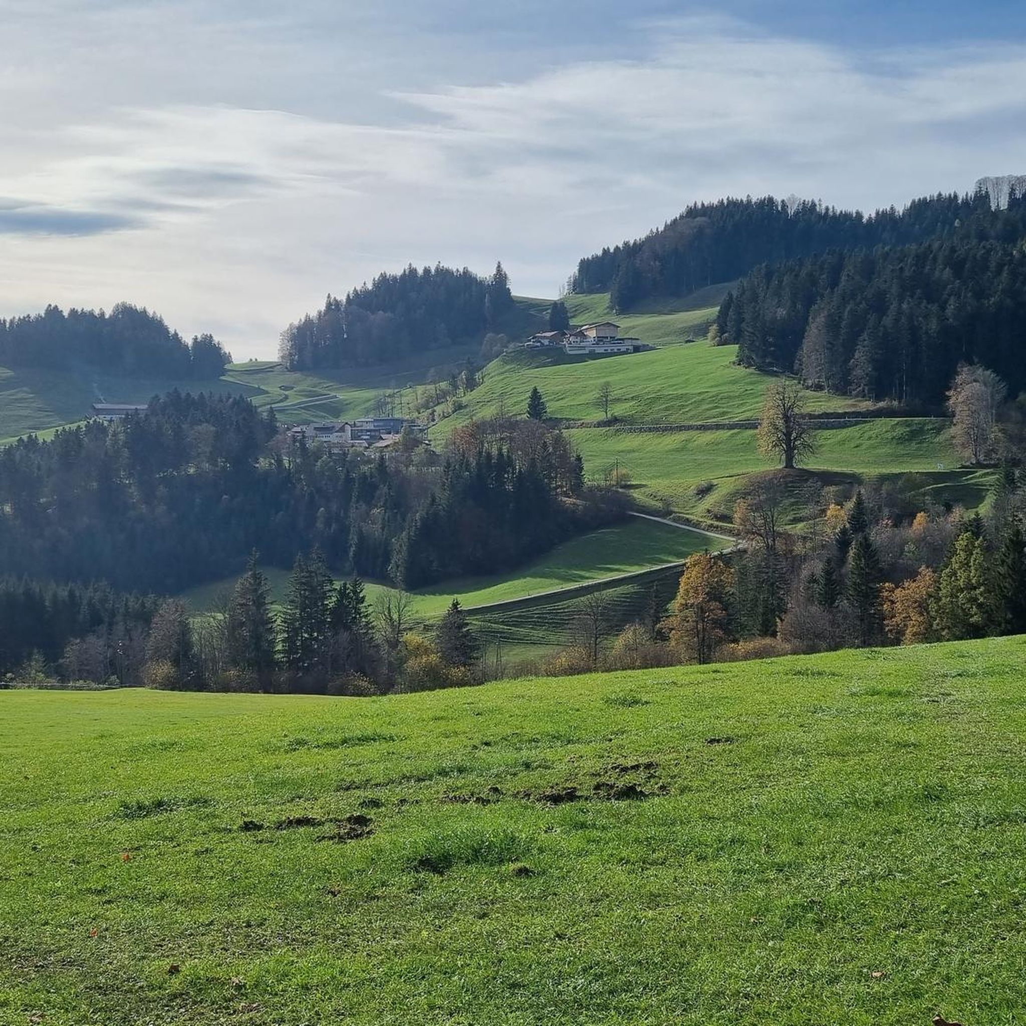
Very nice inn amidst meadows and forests. You can strengthen yourself with Tyrolean home cooking while enjoying the magnificent view. Further information and opening hours can be found here: https://www.moosbauer.info/.
1
0

Wanderparkplatz with a bike repair station.
1
0
Beautiful place and from here the MVV applies.
1
0

sometimes, on quiet days you can see marmots
0
0
Frequently Asked Questions
How many mountain bike trails are available around Rettenschöss?
Rettenschöss offers a comprehensive network of over 300 mountain bike trails. These routes vary in difficulty, with approximately 50 easy, over 140 moderate, and nearly 130 difficult options, ensuring there's something for every skill level.
Are there mountain bike trails suitable for beginners or families in Rettenschöss?
Yes, Rettenschöss has around 50 easy mountain bike trails that are well-suited for beginners or families looking for a more relaxed ride. These routes often traverse forested areas and offer gentle ascents, allowing riders to enjoy the scenic Tyrolean landscape without excessive challenge.
What kind of terrain can I expect on mountain bike trails in Rettenschöss?
The terrain around Rettenschöss is diverse, ranging from forested paths that provide shade on warmer days to more exposed trails at higher altitudes. You'll encounter traditional alpine pastures, scattered farms, and routes with stunning views of the River Inn Valley and the majestic Mount Zahmer Kaiser.
Are there any mountain bike trails that feature waterfalls or gorges?
Yes, the region around Rettenschöss boasts impressive natural features. You can find routes that pass near the Schossrinn Waterfall or explore the dramatic Giessenbach Gorge. One route, View of Hohenaschau Castle – Schossrinn Waterfall loop from Sachrang, specifically highlights a waterfall.
What are some notable landmarks or viewpoints accessible by mountain bike in Rettenschöss?
Many trails offer breathtaking views of the River Inn Valley and the surrounding Tyrolean mountains. Notable landmarks include the Entenloch Gorge Suspension Bridge, which is part of the 'Smuggler's Trail', and the Eiben Gorge Viewpoint. You can also find routes leading to alpine huts like Steinlingalm Alpine Hut.
Are there any loop trails for mountain biking around Rettenschöss?
Yes, many mountain bike routes in Rettenschöss are designed as loops, allowing you to start and finish at the same point. An example is the Walchsee South Shore – View of Walchsee loop from Rettenschöss, which offers scenic views of Walchsee.
What is the best time of year for mountain biking in Rettenschöss?
The warmer months, typically from spring through autumn, are ideal for mountain biking in Rettenschöss. During this period, the trails are clear of snow, and the alpine pastures are vibrant. The forested areas provide welcome shade on sunny days, and mountain huts are generally open for refreshments.
Are there any challenging mountain bike routes for experienced riders?
Absolutely. Rettenschöss features nearly 130 difficult mountain bike trails for experienced riders. These routes often involve significant elevation gains and technical sections. A challenging option is the Laubenstein Summit View – View of Hohenaschau Castle loop from Niederndorferberg, which covers over 50 km with substantial ascent.
What do other mountain bikers enjoy the most about mountain biking in Rettenschöss?
The mountain biking experience in Rettenschöss is highly rated by the komoot community, with an average score of 4.6 stars from over 5,200 reviews. Riders often praise the diverse terrain, the stunning views of the Tyrolean mountains and the River Inn Valley, and the well-maintained network of trails that cater to all abilities.
Are there opportunities for refreshments along the mountain bike trails?
Yes, the region is dotted with traditional alpine pastures and mountain huts that provide convenient refreshment stops. Many trails lead directly to or pass by these managed huts, offering a chance to rest and enjoy local hospitality amidst the beautiful scenery.
Can I find mountain bike routes that offer views of Walchsee Lake?
Yes, Rettenschöss is conveniently located near Walchsee Lake, and several mountain bike routes offer picturesque views of the lake. For instance, the Walchsee South Shore – View of Walchsee loop from Liesfeld is a longer route that takes you through the Walchsee South Shore area, providing ample lake views.
Most popular routes around Rettenschöss
Most popular attractions around Rettenschöss

Get inspired with the komoot mobile app


Explore more
Browse the best MTB trails in other regions.
