The best walks and hikes around Murialdo
4.5
(394)
1,446
hikers
134
hikes
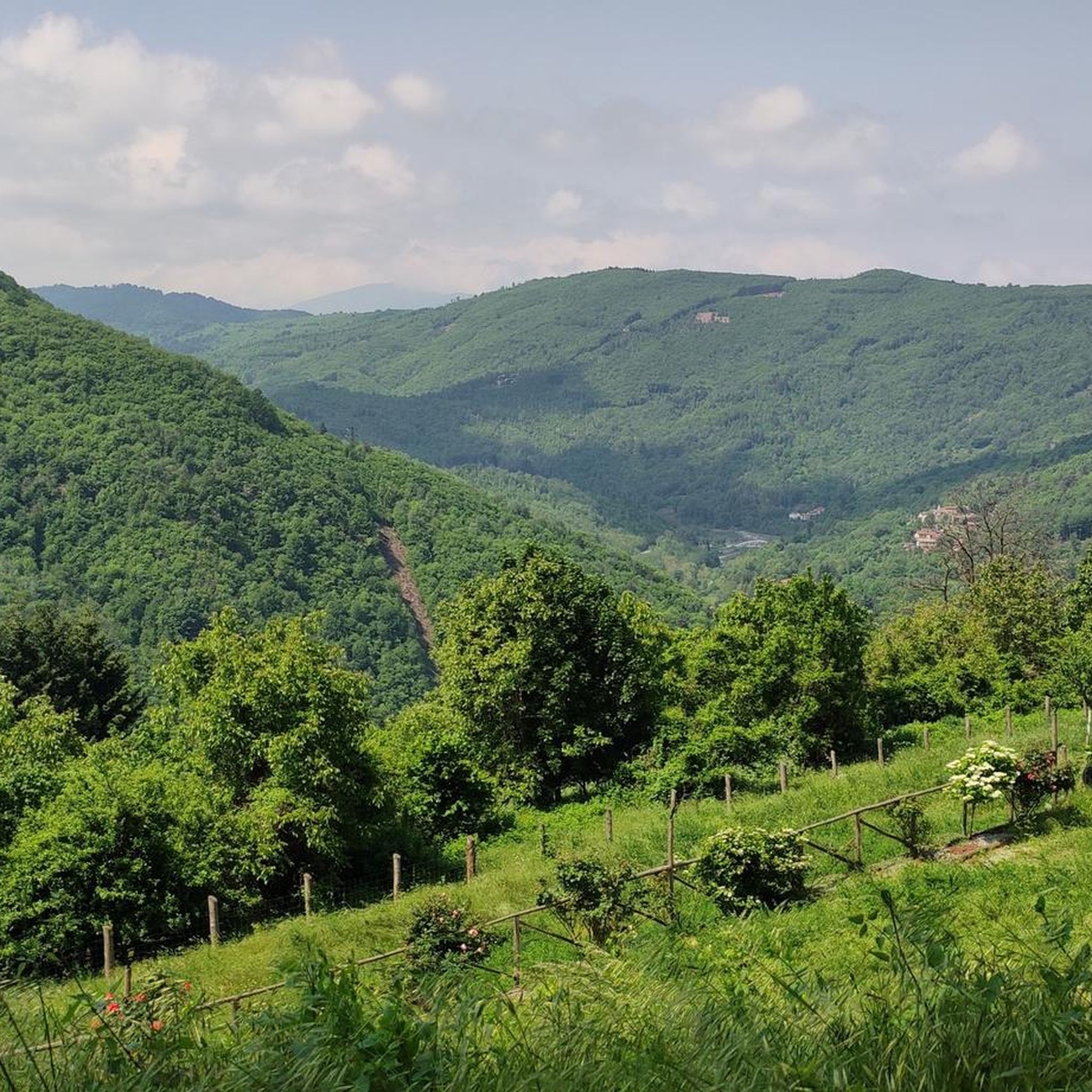
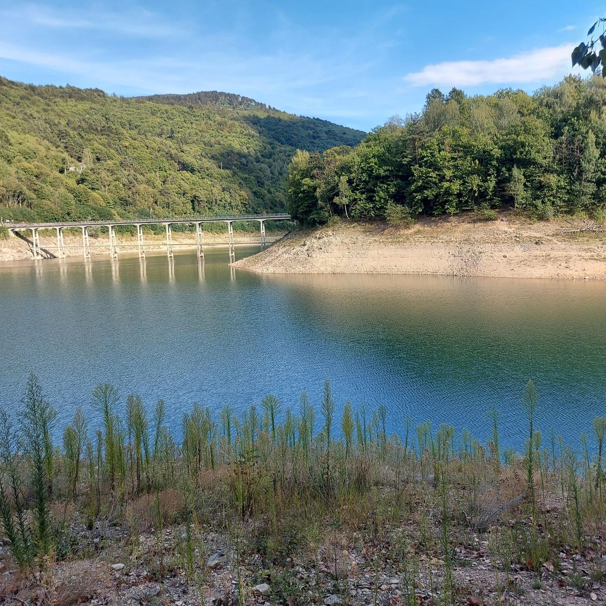
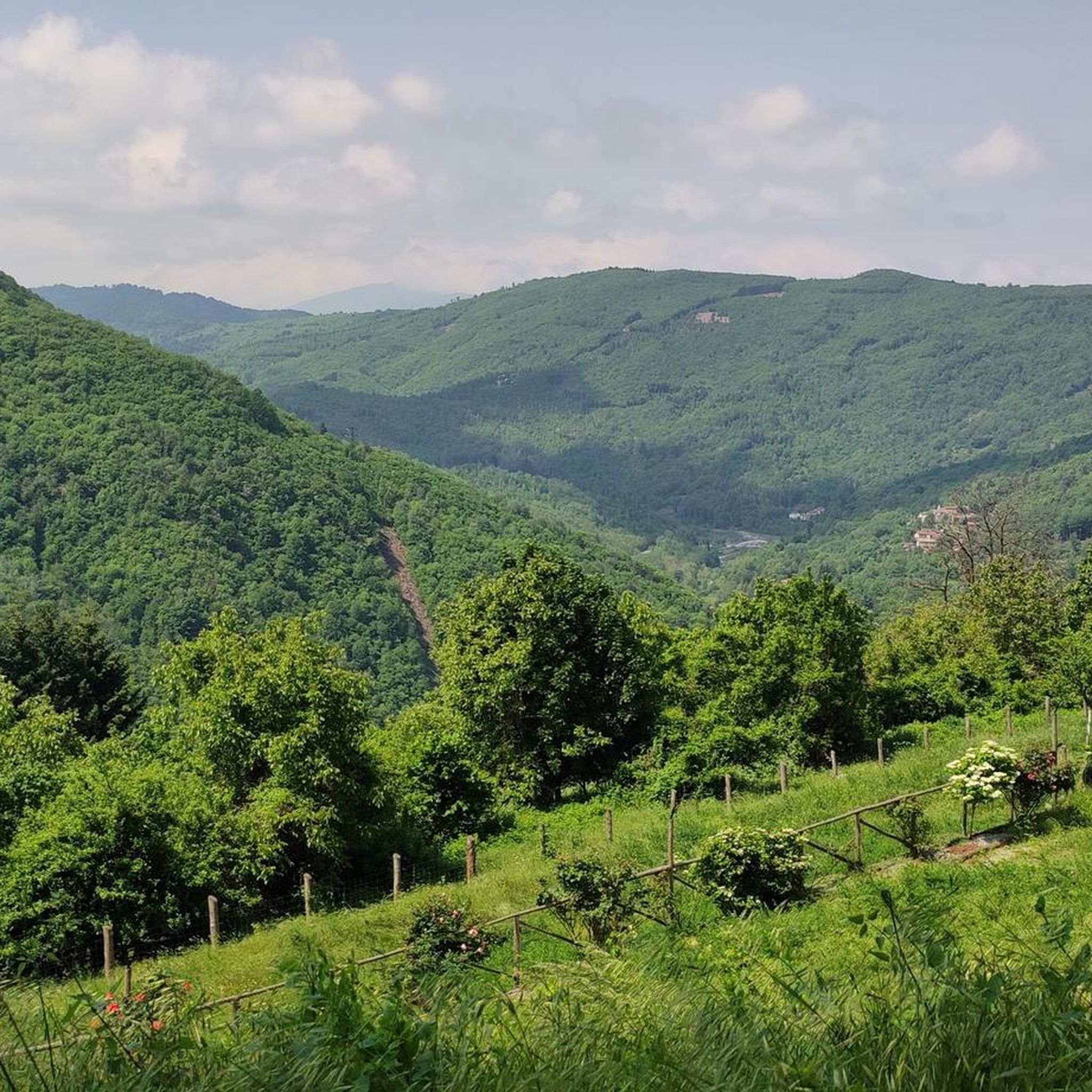
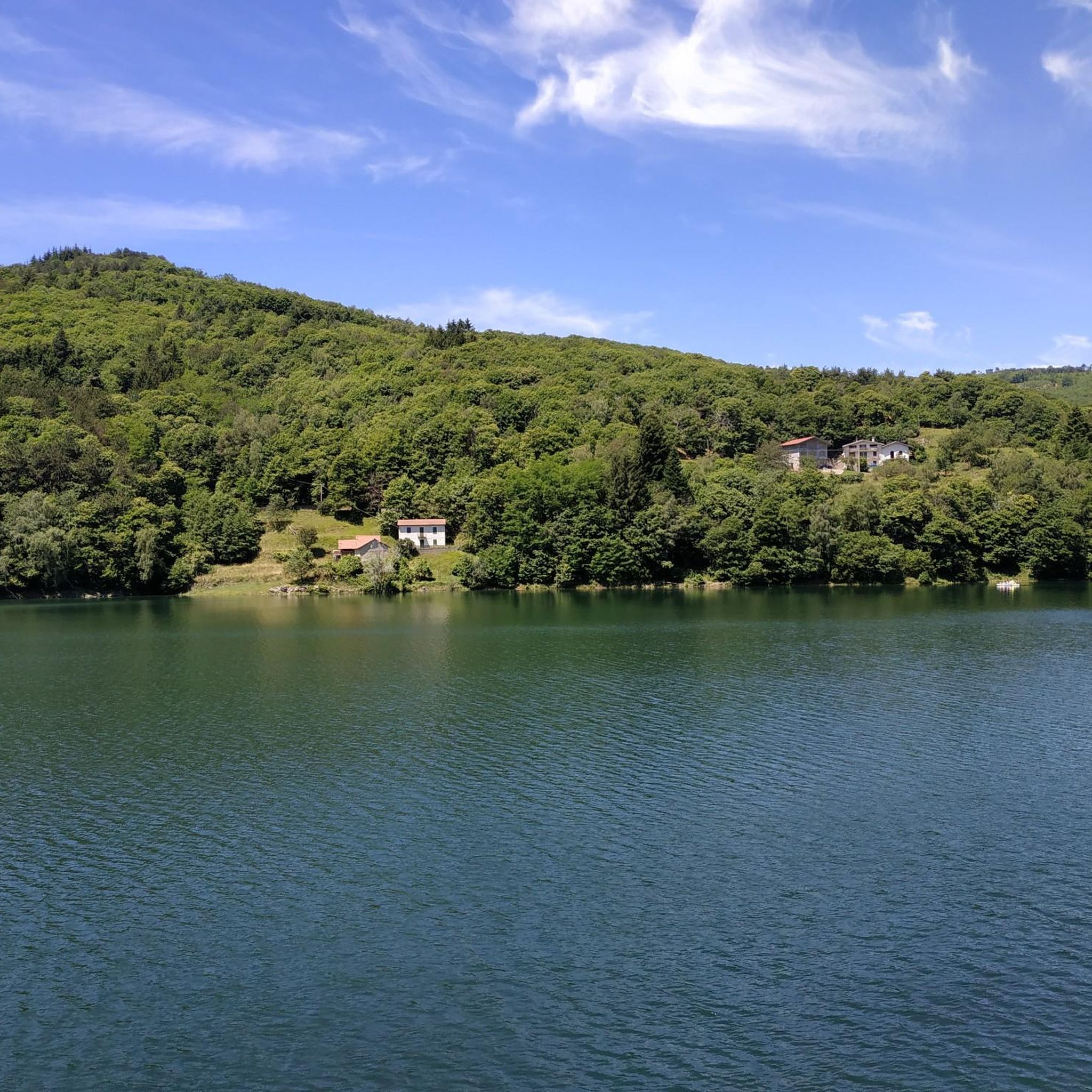
Hiking around Murialdo, located in Liguria, Italy, offers diverse landscapes and natural features suitable for outdoor activities. The region is characterized by varied woodlands and mountainous terrain, providing a range of experiences for hikers. Trails often lead to panoramic views, immersing visitors in nature. The area's network of routes combines natural beauty with historical and cultural points of interest.
Best hiking trails around Murialdo
- The most popular hiking route is Bric della Feia Loop from San Michele, a 2.6…
Last updated: August 30, 2026
4
hikers
8.56km
03:17
600m
600m
Forest paths and meadows lead to Rocca dei Francesi's rocky outcrop overlooking Ligurian valleys.
1
hikers
8.85km
02:29
180m
180m
Hike the moderate 5.5-mile Ronco di Maglio Loop Trail through dense beech forests and enjoy panoramic views in the Ligurian Alps.

Sign up for free
5
hikers
8.84km
03:44
680m
680m
Hike the moderate Osiglia - Monte Settepani Trail, gaining 2229 feet (679 metres) over 5.5 miles (8.8 km) for panoramic Ligurian Alps views.
5.0
(2)
2
hikers
4.16km
01:28
190m
190m
Loop trail through diverse woodlands to a summit picnic spot and dramatic dolomite spires.
1
hikers
8.15km
02:57
500m
500m
Hike the moderate 5.1-mile Acquafredda - Bric della Feia - Tana dell'Orpe Trail through chestnut woods and karst landscapes.
Get access to more routes and recommendations from other explorers.
Sign up for free
Already have an account?
Our route recommendations are based on thousands of hikes, rides, and runs completed by other people on komoot.
Start today with a free account
Your next adventure awaits.
Login or Signup

Tips from the Community


On clear days the view is 360º from the sea to the Alps!
0
0
Frequently Asked Questions
How many hiking trails are available around Murialdo?
Murialdo offers a wide selection of hiking opportunities, with over 120 trails to explore. These routes cater to various skill levels, ranging from easy walks to more challenging ascents through diverse landscapes.
Are there hiking trails suitable for beginners or families in Murialdo?
Yes, Murialdo has plenty of options for beginners and families. There are 33 easy routes, many of which are short and have minimal elevation gain. For example, the Ceva countryside loop is an easy option that allows you to enjoy the scenery without strenuous effort.
What kind of landscapes can I expect on Murialdo's hiking trails?
Hikers in Murialdo can expect diverse and pristine natural environments. The trails wind through varied woodlands and mountainous terrain, often leading to panoramic viewpoints. You'll be immersed in nature, with opportunities to experience both dense forests and open vistas.
Are there any circular hiking routes in Murialdo?
Yes, several circular routes are available. A popular choice is the Bric della Feia Loop from San Michele, which takes you through woodlands to a summit picnic spot. Another option is the Ceva countryside loop, offering an easy, scenic walk.
What are some notable natural landmarks or historical sites to see while hiking in Murialdo?
Murialdo's trails combine natural beauty with historical interest. You can explore the Tana dell'Orpe Cave, a prehistoric limestone cave known for Bronze Age artifacts, accessible via the Acquafredda - Bric della Feia - Tana dell'Orpe Trail. The region also features dramatic dolomite spires and offers glimpses of ancient architecture and charming hamlets like "Monte".
What do other hikers enjoy the most about hiking in Murialdo?
The komoot community highly rates hiking in Murialdo, with an average score of 4.5 stars from over 300 reviews. Hikers frequently praise the diverse woodlands, mountainous terrain, and the variety of trails that cater to all ability levels. The combination of natural beauty and historical points of interest is also a common highlight.
What is the best time of year to go hiking in Murialdo?
Murialdo offers enjoyable hiking experiences throughout much of the year. Spring and autumn provide pleasant temperatures and vibrant scenery, with lush greenery in spring and rich colors in autumn. Summer is also suitable, especially for higher elevation trails, while winter hiking might be possible on lower routes, though conditions can vary.
Are there any trails that offer panoramic views in Murialdo?
Yes, many trails in Murialdo are known for their panoramic views. The region's mountainous terrain ensures that routes often lead to elevated points offering expansive vistas of the surrounding landscapes. The Bric della Feia Loop from San Michele, for instance, leads to a summit picnic spot with excellent views.
Are there any specific attractions or points of interest near Murialdo's hiking areas?
Beyond the trails themselves, the area around Murialdo offers interesting points. You can find historical sites like the Melogno Central Fort, or explore various mountain passes such as Melogno. These can be integrated into longer hiking excursions or visited separately.
Are Murialdo's hiking trails dog-friendly?
While specific regulations can vary by trail, many natural areas in Murialdo are generally welcoming to dogs, especially on leash. It's always recommended to check local signage or specific route details on komoot for any restrictions or requirements before heading out with your canine companion.
What is the typical elevation gain on Murialdo's hiking trails?
The elevation gain varies significantly across Murialdo's diverse trail network. Easy routes might have minimal gain, while more challenging trails, such as the Isola Grande - Monte Camulera Trail, can involve over 580 meters of ascent, requiring good fitness. There are options for all levels, from gentle slopes to more demanding climbs.
Most popular attractions around Murialdo

Get inspired with the komoot mobile app


Explore more
Browse the best Hikes in other regions.
