The best walks and hikes around Sesta Godano
4.5
(287)
1,100
hikers
20
hikes
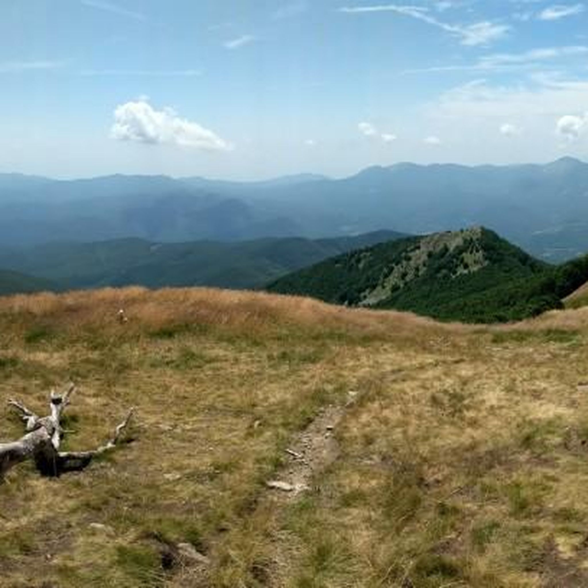
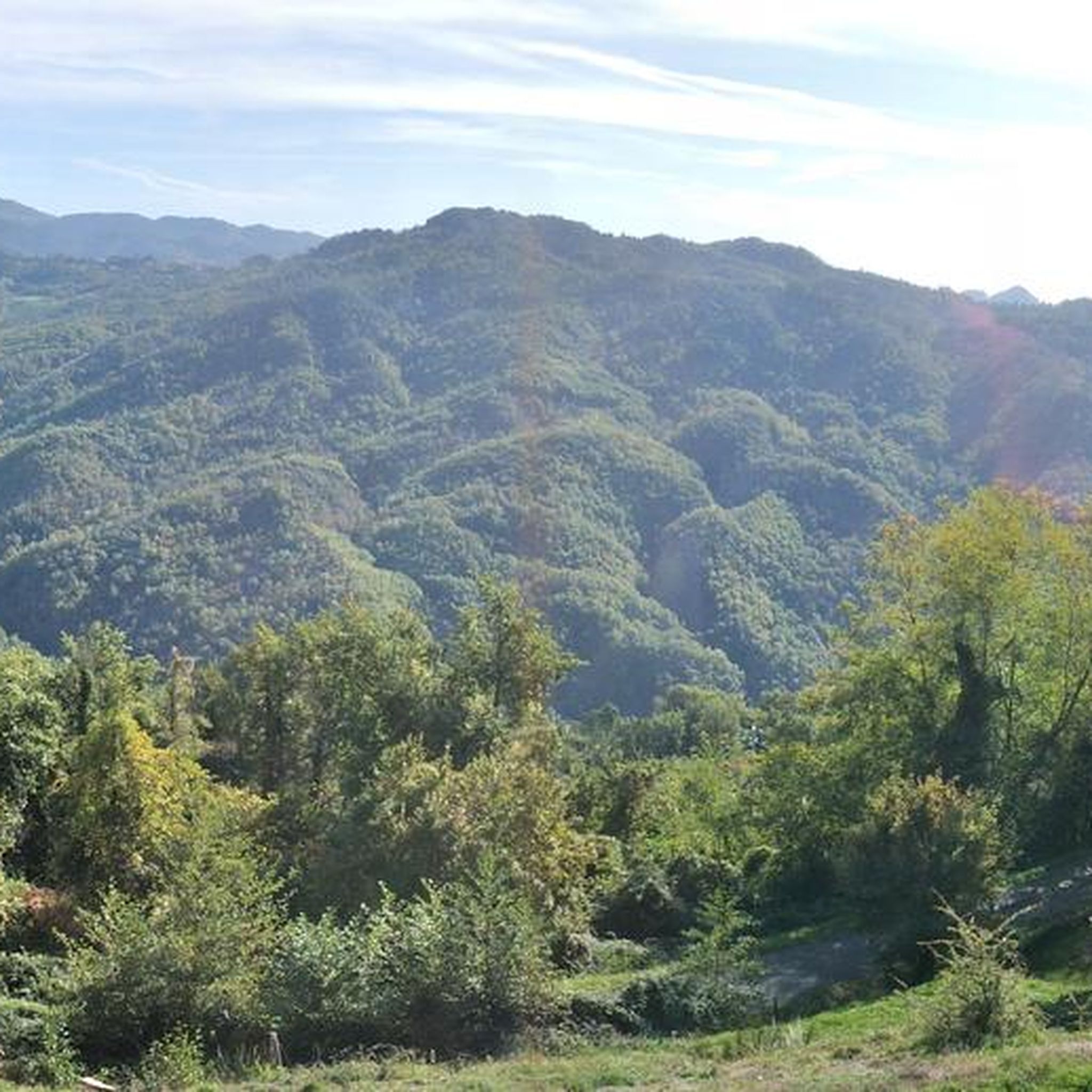
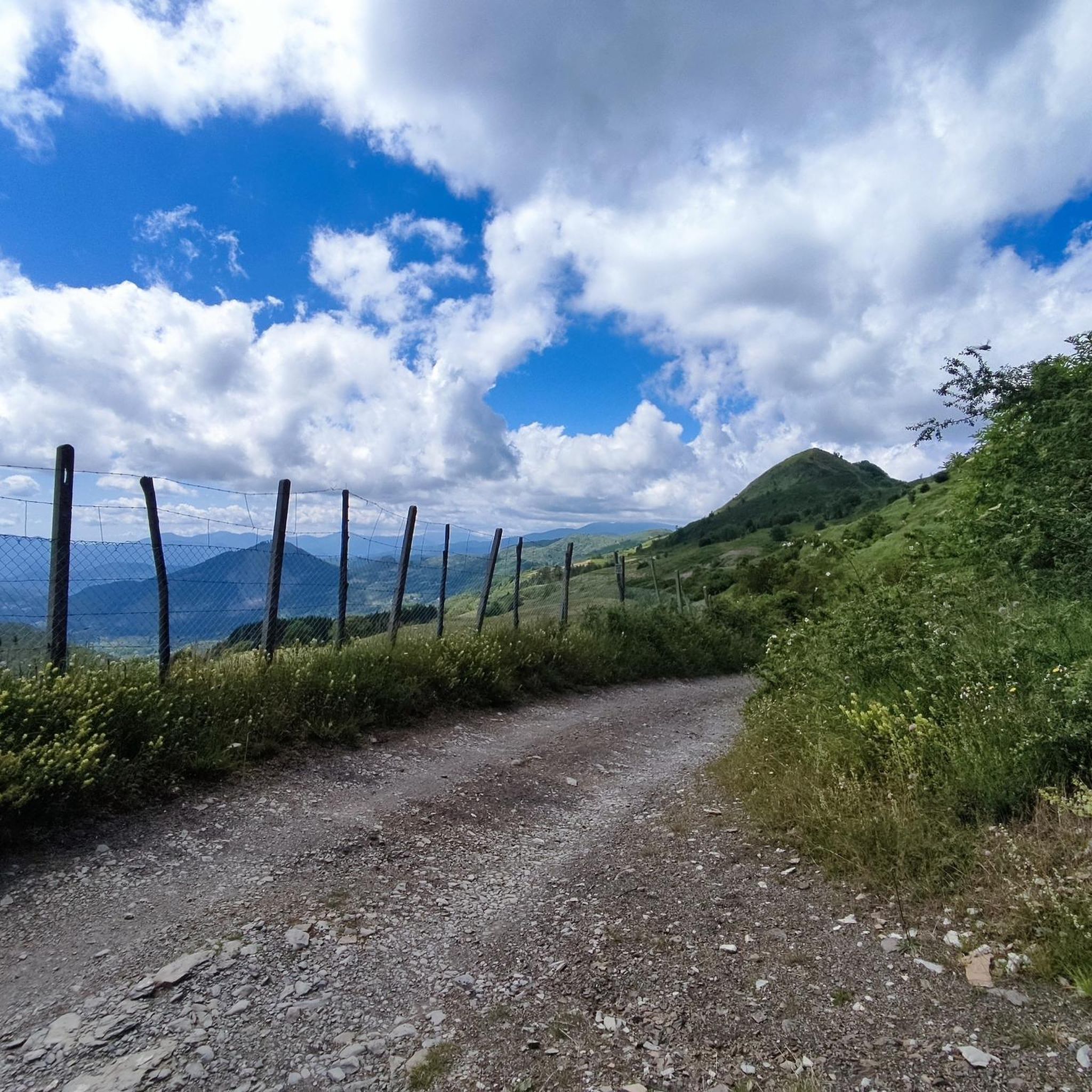
Hiking around Sesta Godano offers diverse landscapes within Italy's Val di Vara, characterized by mountains, lush forests, and picturesque river systems. The region features prominent peaks like Monte Gottero, which provides challenging trails and panoramic views. Trails wind through varied terrain, from wide mule tracks in beech woods to more technical paths. This area is known for its pristine nature and a blend of Mediterranean trees, oak, beech, ash, and birch forests.
Best hiking trails around Sesta Godano
- The most popular hiking route is Monte Gottero Summit via Alta Via dei Monti Liguri, a difficult 7.9 miles (12.8 km) trail that takes 5 hours 31 minutes to complete. This route offers panoramic 360-degree views from the summit.
- Another top favourite among local hikers is Monte Gottero Summit Trail from Passo della Cappelletta, a moderate 7.7 miles (12.4 km) path. This trail leads through beech woods to the panoramic summit of Monte Gottero.
- Local hikers also love the Sentiero Italia - Stage G01, a difficult 10.0 miles (16.1 km) trail leading through the Ligurian Apennines, often completed in about 5 hours 26 minutes.
- Hiking around Sesta Godano is defined by challenging mountain trails, serene forest walks, and picturesque historic villages. The network offers options for different ability levels, from moderate paths to difficult treks.
- The routes in Sesta Godano are highly rated by the komoot community with an average score of 4.6 stars from over 200 reviews. More than 1000 hikers have used komoot to explore Sesta Godano's varied terrain.
Last updated: July 7, 2026
4.7
(56)
194
hikers
12.8km
05:32
720m
720m
Hike the difficult 8.0-mile (12.8 km) Monte Gottero Summit via Alta Via dei Monti Liguri trail for panoramic views and varied terrain.
4.6
(16)
48
hikers
12.4km
04:50
600m
590m
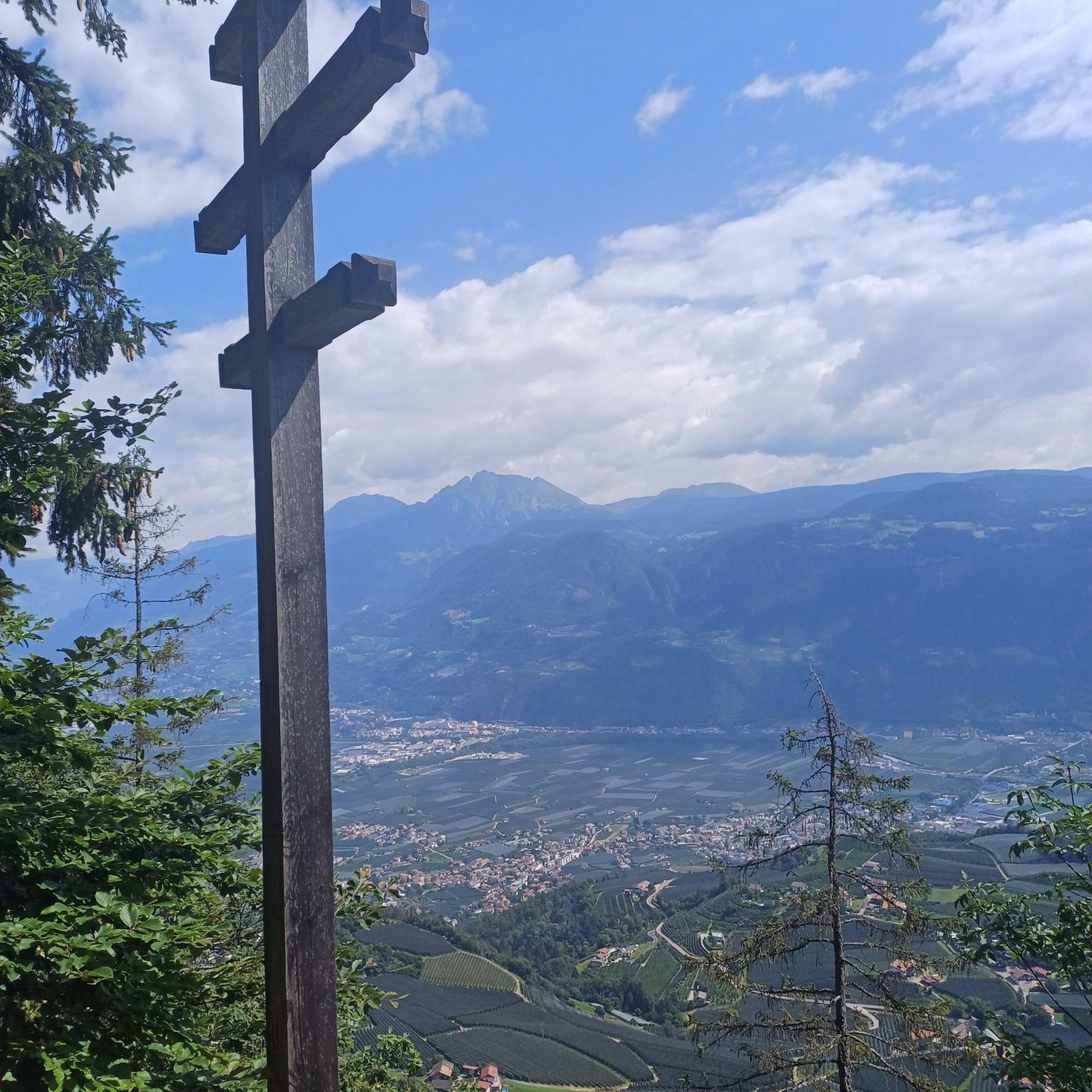
Apennine ridge walk through beech forests to Monte Gottero's cross with three-region views.

Sign up for free
5.0
(1)
16
hikers
16.1km
05:27
780m
780m
Embark on a challenging mountain hike along Sentiero Italia - Stage G01, a difficult route that takes you through the Ligurian Apennines. You will cover 10.0 miles (16.1 km) with a significant elevation gain of 2571 feet (784 metres), typically taking around 5 hours and 26 minutes to complete. The trail follows a prominent ridge line, offering continuous undulating ascents and descents, and provides expansive views of the surrounding mountains, especially from the historic Three Borders Monument. This landmark is where Tuscany, Emilia-Romagna, and Liguria meet, giving you a unique perspective on the region's geography. You might even spot wild boar tracks as you immerse yourself in the natural environment.
To begin this stage, head to Passo dei Due Santi, which is located near the small ski resort of Zum Zeri. The route concludes at Passo della Cappelletta, so you will need to arrange transportation from the endpoint or plan for an out-and-back journey. While specific warnings for snow conditions or permits are not detailed, remember that the Sentiero Italia is a high route. This means you should come prepared with appropriate gear and experience for a demanding mountain environment.
This particular stage is part of the larger Sentiero Italia, a renowned long-distance trail that traverses the entire country. It offers a true mountain experience within the Appennino Tosco-Emiliano National Park, showcasing the rugged beauty of the Ligurian Apennines. The journey along the ridge line is a defining feature, providing a sense of continuous adventure and connection to the landscape. It is a notable segment for those seeking a demanding and rewarding hike in this part of Italy.
5.0
(2)
7
hikers
14.9km
05:01
780m
780m
Forest trail through Ligurian mountains with a cozy mountain shelter and poets' inspiring views.
5.0
(1)
5
hikers
16.3km
06:10
1,090m
1,090m
Hike the difficult 10.1-mile Monte Gottero from Groppo via Trail 124, gaining 3567 feet for panoramic summit views across the Ligurian Apenn
Get access to more routes and recommendations from other explorers.
Sign up for free
Already have an account?
Our route recommendations are based on thousands of hikes, rides, and runs completed by other people on komoot.
Start today with a free account
Your next adventure awaits.
Login or Signup
Tips from the Community

Wonderful bivouac below the Foce Tre Confini, with 8 beds (9 if you sleep on the table), very well equipped.
0
0

The small sacred monument we encounter on Monte Gottero is perhaps the perfect place for a brief moment of reflection. A few years ago, Christiane Völkel commented on the wonderfully fitting sentence by the Italian poet Francesco Petrarch (who lived in the 14th century), "Everywhere one has heaven above oneself," as follows: "What is the use of prayer? This question moves me (...) I have found for myself the answer and the certainty that when I pray I am with the Lord, or rather, that when I pray he is often noticeably closer to me than usual. Thus, I retain the possibility of pouring out my heart to him (...) This intimacy with him makes me believe in him."
0
0

A beautiful mountain pass at 1,400 meters. There's a refuge, a small chapel, a monument—in short, everything you'd expect in a place like this. There's even a small clothing store. The only thing that's jarring is the constant noise of a combustion engine, which I assume is a generator for the refuge's operation.
0
0

Boundary stone dated 1828 between the Duchy of Parma and the Kingdom of Sardinia. From the Passo dei Due Santi to the Foce dei Tre Confini, there are thirteen boundary stones, and the route is in fact called the "Strada dei Termini." Boundary stone no. 1 is located at the Foce dei Tre Confini, while boundary stone no. 13 is at the Passo dei Due Santi. (http://www.escursioniliguria.it/schede_monti/m_gottero.htm)
0
0

Equipped bivouac. A little further on, following the road towards the pass, there is a source of clean water
0
0
A roof useful for shelter in case of bad weather
0
0

Passo 2 santi, known for its winter facilities, but it is also possible to stop in summer, there is a bar and restaurant and a way to stock up on water
1
0

a place to rest in the cool and sheltered just below the cross of Monte Gottero.
1
0
Frequently Asked Questions
What kind of terrain can I expect on hiking trails around Sesta Godano?
The trails around Sesta Godano offer a diverse range of terrain. You'll find everything from wide mule tracks winding through ancient beech woods to more technical paths. The landscape includes lush forests with Mediterranean trees, oak, beech, ash, and birch, as well as open meadows and ridges, especially as you ascend towards peaks like Monte Gottero.
Are there any family-friendly hiking options in Sesta Godano?
While Sesta Godano is known for its challenging mountain trails, the Val di Vara also offers some fairly easy circular routes suitable for families. These paths allow visitors to enjoy the pristine nature of the 'Green Valley' without requiring extensive hiking experience. Look for routes with lower elevation gain and shorter distances for a pleasant family outing.
Can I bring my dog on the hiking trails in Sesta Godano?
Generally, dogs are welcome on hiking trails in the Sesta Godano area. It's always recommended to keep your dog on a leash, especially in areas with wildlife or near livestock, and to carry water for them. The diverse forest paths and open trails provide a great environment for walking with your canine companion.
What are the best times of year to go hiking in Sesta Godano?
The best times to hike in Sesta Godano are typically spring (April to June) and autumn (September to October). During these seasons, the weather is milder, and the natural scenery is particularly vibrant, with blooming flowers in spring and colorful foliage in autumn. Summer can be hot, especially at lower elevations, while winter may bring snow to higher peaks like Monte Gottero, making some trails more challenging.
Are there any trails that offer panoramic views?
Yes, several trails provide breathtaking panoramic views. The ascent to Monte Gottero Summit (1,639 meters) is particularly renowned for its 360-degree vistas. From the summit, you can often see the Tuscan-Emilian ridge, the Apuan Alps, the Ligurian Riviera, and even glimpses of Corsica on clear days. Routes like Monte Gottero Summit via Alta Via dei Monti Liguri offer these expansive views.
What historical or cultural sites can I explore while hiking?
Sesta Godano is home to charming rural centers and ancient fortified villages like Groppo, Rio, and Pignona, which have preserved their historic structures. You can find remnants of fortified structures and castles, such as the ruins of the Fieschi castle in Rio. The village of Mangia is notable for being built with rounded stones from the local river, offering a unique architectural sight.
Are there any notable natural attractions or landmarks along the trails?
Beyond the stunning forests and mountain peaks, you can discover several natural attractions. The Monte Gottero Summit itself is a significant natural landmark. You might also encounter features like Lago Verde, a serene lake, or various mountain passes such as Passo della Cappelletta, which offer scenic points along your hike.
How many hiking trails are there in Sesta Godano?
Sesta Godano offers a comprehensive network of trails, with over 19 routes available for hiking. These range from moderate paths to more difficult treks, ensuring options for various fitness levels and preferences.
What do other hikers enjoy most about hiking in Sesta Godano?
The area is highly rated by the komoot community, with an average score of 4.6 stars from over 200 reviews. Hikers often praise the diverse landscapes, from challenging mountain ascents to serene forest walks, and the opportunity to explore picturesque historic villages. The panoramic views from peaks like Monte Gottero are frequently highlighted as a major draw.
Are there any circular hiking routes available?
Yes, the Val di Vara region around Sesta Godano features several circular routes. These trails are designed to bring you back to your starting point, making them convenient for day trips. They offer a great way to experience the varied landscapes, from dense forests to open valleys, without needing to retrace your steps.
Is public transport accessible for reaching trailheads in Sesta Godano?
Public transport options in the more remote areas of Val di Vara, including some trailheads around Sesta Godano, can be limited. It's advisable to check local bus schedules in advance or consider driving to access specific starting points. Many hikers prefer to use personal vehicles to reach the more secluded trailheads.
Where can I find parking for hiking trails in Sesta Godano?
Parking availability varies depending on the specific trailhead. For popular routes, you can often find designated parking areas near villages or mountain passes. For example, starting points for trails leading to Monte Gottero, such as Passo della Cappelletta, typically have space for vehicles. It's always a good idea to research the specific trailhead you plan to use for detailed parking information.
Are there any particularly challenging hikes for experienced trekkers?
Absolutely. Sesta Godano is well-known for its challenging mountain trails. Routes like Sentiero Italia - Stage G01, a difficult 16.1 km trail through the Ligurian Apennines, or Monte Gottero from Groppo via Trail 124, which involves over 1000 meters of elevation gain, are ideal for experienced hikers seeking strenuous treks and alpine experiences.
Most popular attractions around Sesta Godano

Get inspired with the komoot mobile app


Explore more
Browse the best Hikes in other regions.
