The best MTB trails around Tiefenbach
4.7
(91)
210
riders
53
rides
Mountain biking around Tiefenbach offers a diverse landscape characterized by dense woodlands, rolling hills, and scenic routes around local lakes like Perlsee and Silbersee. The region features varied elevations, from gentle paths along water bodies to more challenging climbs towards points like Kreuzfelsen Summit. This area provides a mix of terrain suitable for different mountain biking preferences, including options for beginner mountain bike routes Tiefenbach.
Best mountain bike trails around Tiefenbach
- The most popular mountain bike trail is Bridge at…
Last updated: October 5, 2026
5.0
(4)
19
riders
Moderate mountain bike ride. Good fitness required. Suitable for all skill levels.
5.0
(16)
25
riders
34.5km
02:27
410m
410m
Moderate mountain bike ride. Good fitness required. Advanced riding skills necessary.

4.9
(7)
25
riders
10.5km
00:44
60m
60m
Easy mountain bike ride. Great for any fitness level. Suitable for all skill levels.
4.3
(7)
15
riders
55.5km
04:28
840m
840m
Hard mountain bike ride. Good fitness required. Advanced riding skills necessary. Some portions of the route may require you to push your bike.
4.5
(2)
5
riders
39.9km
03:15
670m
670m
Hard mountain bike ride. Good fitness required. Advanced riding skills necessary. Some portions of the route may require you to push your bike.
Get access to more routes and recommendations from other explorers.
Already have an account?
Our route recommendations are based on thousands of hikes, rides, and runs completed by other people on komoot.
Start today with a free account
Your next adventure awaits.

Tips from the Community

Christus Marterl in Michelsthal between Silbersee and Tiefenbach
0
0

Give the little legs a break.,.....
1
0
Beautifully located by the cycle path the chapel with a resting place
1
0

The former Grafenried (Czech: Lučina) stood on a small hill near the German border (today the Untergrafenried border crossing) west of Nemanice. Grafenried also included the villages of Anger (Upor), Seeg (Pila), and Haselbach (Liskova). Around 800 people lived there. After the end of the Second World War, the German population was expelled from the border area, and the village, with all its buildings, was gradually razed. The Grafenried church of St. George still stood until the 1970s. Although it had the status of a monument, it was blown up and demolished. On the initiative of a former German resident of the community and some historians on the Czech side, the remains of the church were partially excavated and renovated in 2011. The search for traces was extended to the entire lost village and its districts.
12
0
The cemetery is still (again) maintained by relatives of the deceased today. It was consecrated on June 29, 1786. Previously, the deceased had to be buried elsewhere, first in Bavarian Ast, later in Bohemian Wassersuppen. From 1786 to 1946, more than 4500 people were buried in this cemetery.
4
0
The village of Anger, located near the Bavarian border, was evacuated and left to decay between 1950 and 1960 due to the establishment of the Iron Curtain. The settlement was strongly characterized by weaving, animal husbandry, and a local glassworks.
13
0
From the Untergrafenried border crossing, historic paths lead directly into the former, abandoned Czech village of Grafenried (Lučina). These are cross-border tours with the character of witnessing history.
14
0
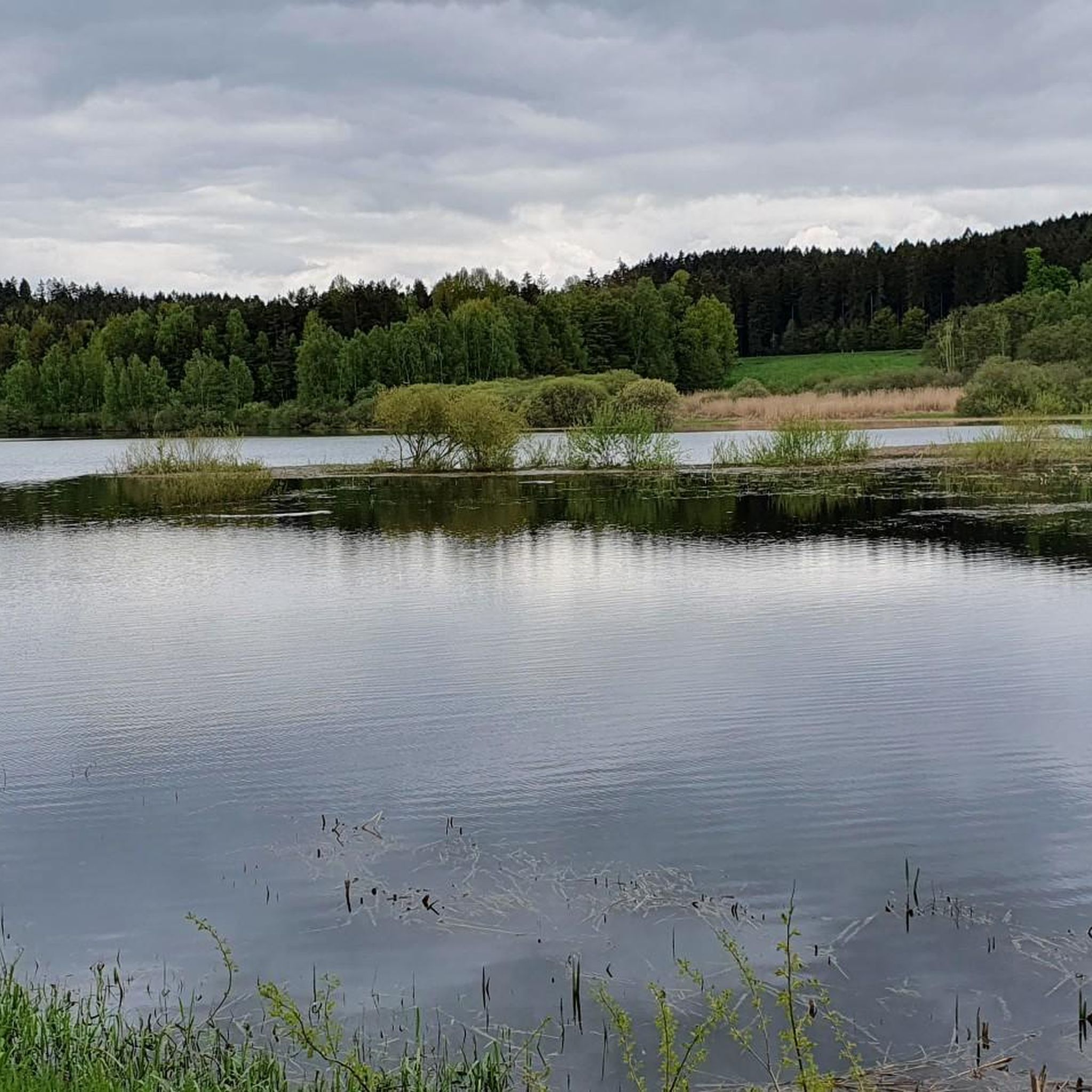
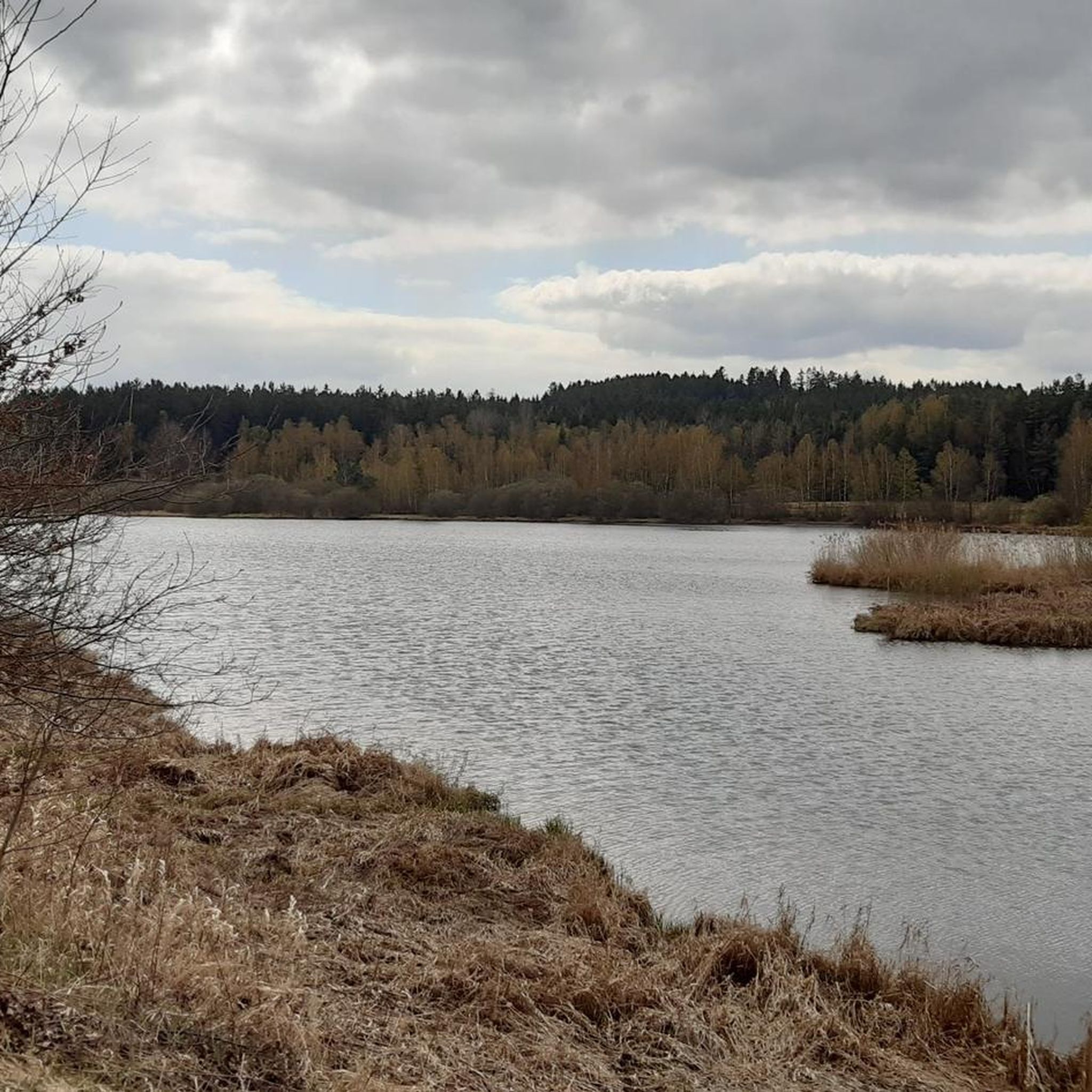
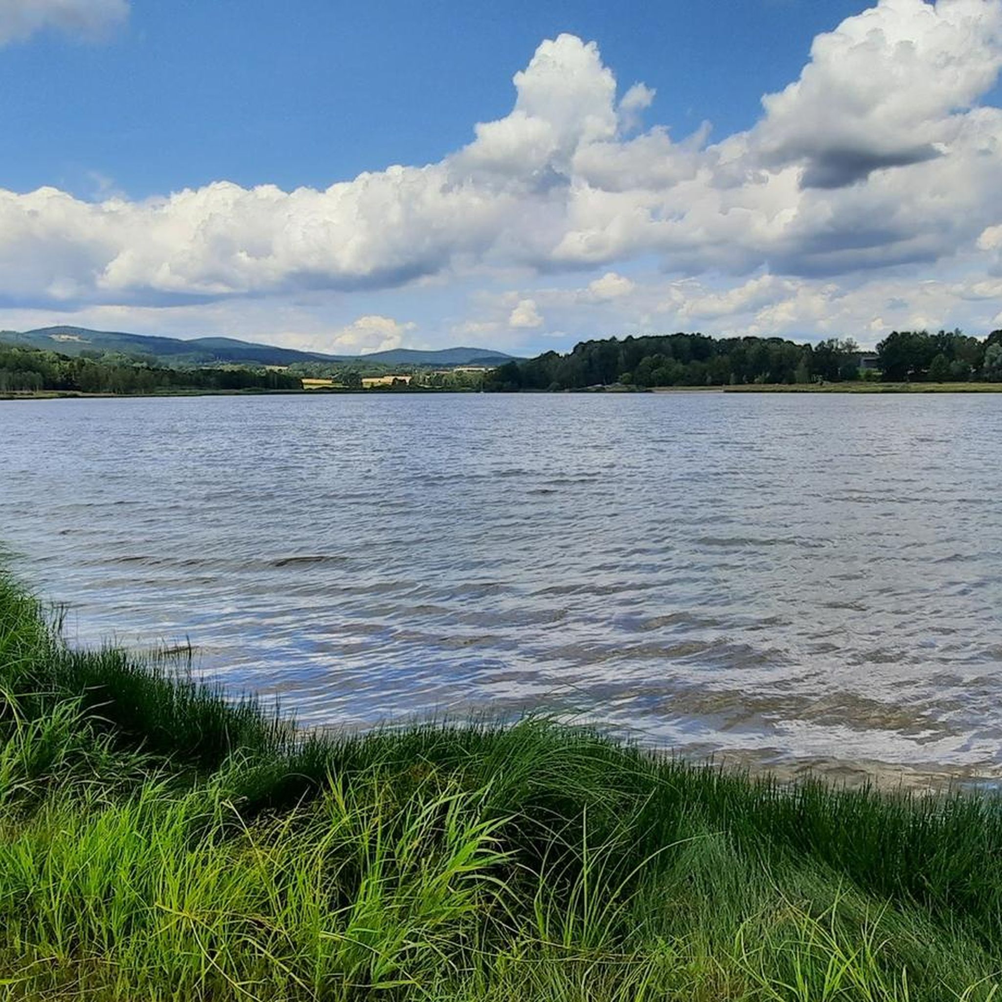
Beautiful in every season
0
0
Frequently Asked Questions
How many mountain bike trails are there in Tiefenbach?
Tiefenbach offers a wide selection of mountain bike trails, with over 60 routes available. These range from easy rides to more challenging adventures, catering to various skill levels.
Are there easy mountain bike trails suitable for beginners in Tiefenbach?
Yes, Tiefenbach has several easy mountain bike trails perfect for beginners. An excellent option is the Silver Lake Dam – Silbersee Loop loop from Tiefenbach, an easy 6.6-mile (10.6 km) path that provides a relaxed ride around Silbersee.
Are there family-friendly mountain bike routes in Tiefenbach?
Absolutely. The region around Tiefenbach, particularly routes around lakes like Silbersee, are well-suited for families. The Silver Lake Dam – Silbersee Loop loop from Tiefenbach is an easy and popular choice for family outings.
What is the best time of year for mountain biking in Tiefenbach?
The best time for mountain biking in Tiefenbach is typically from spring through autumn. During these seasons, the weather is generally pleasant, and the trails are in optimal condition for riding through the dense woodlands and along the scenic lake shores.
Are there challenging mountain bike trails for experienced riders in Tiefenbach?
Yes, experienced riders will find challenging routes with significant elevation gains. The Kreuzfelsen Summit (Gibacht) – Perlsee Dam loop from Tiefenbach is a difficult 34.0-mile (54.8 km) trail that leads through varied terrain and offers a substantial climb.
Are there circular mountain bike routes available in Tiefenbach?
Many of the mountain bike trails in Tiefenbach are circular, allowing you to start and end at the same point. Examples include the popular Bridge at the inlet to the Perlsee – Former Grafenried Cemetery loop from Tiefenbach and the Silver Lake Dam – Silbersee Loop loop from Tiefenbach.
Which mountain bike trails in Tiefenbach offer the best scenic views?
For scenic views, consider routes that pass by the local lakes like Perlsee and Silbersee, or those that ascend to higher points. The Kreuzfelsen Summit (Gibacht) – Perlsee Dam loop from Tiefenbach offers rewarding vistas from elevated positions.
What can I see along the mountain bike trails in Tiefenbach?
Along the mountain bike trails, you can explore various natural and historical attractions. Highlights include the Stone Wall (Schwarzwihrberg), the Böhmerwald Observation Tower, and the picturesque Confluence of the Schwarzach and the Perlsee. You might also encounter the Teufelsbrücke with water wheel and devil sculpture.
Are mountain bike trails in Tiefenbach dog-friendly?
Generally, mountain bike trails in Tiefenbach's natural areas are dog-friendly, especially those through woodlands and along lake shores. However, it's always recommended to keep dogs on a leash, especially near wildlife or other trail users, and to check local regulations for specific areas.
What is the typical duration of mountain bike trails in Tiefenbach?
Trail durations vary significantly based on difficulty and length. Easy routes like the Silver Lake Dam – Silbersee Loop loop from Tiefenbach can be completed in under an hour, while moderate trails such as the Bridge at the inlet to the Perlsee – Perlsee Dam loop from Tiefenbach typically take around 2 hours 20 minutes. Longer, more difficult routes can extend to over 4 hours.
What do other mountain bikers enjoy the most about mountain biking in Tiefenbach?
The area is highly rated by the komoot community, with an average score of 4.76 stars. Reviewers often praise the diverse landscape, including dense woodlands and scenic routes around lakes, as well as the variety of terrain suitable for different skill levels.
Most popular routes around Tiefenbach
Most popular attractions around Tiefenbach

Get inspired with the komoot mobile app


Explore more
Browse the best MTB trails in other regions.
