The best walks and hikes around Costigliole Saluzzo
4.4
(592)
3,638
hikers
19
hikes
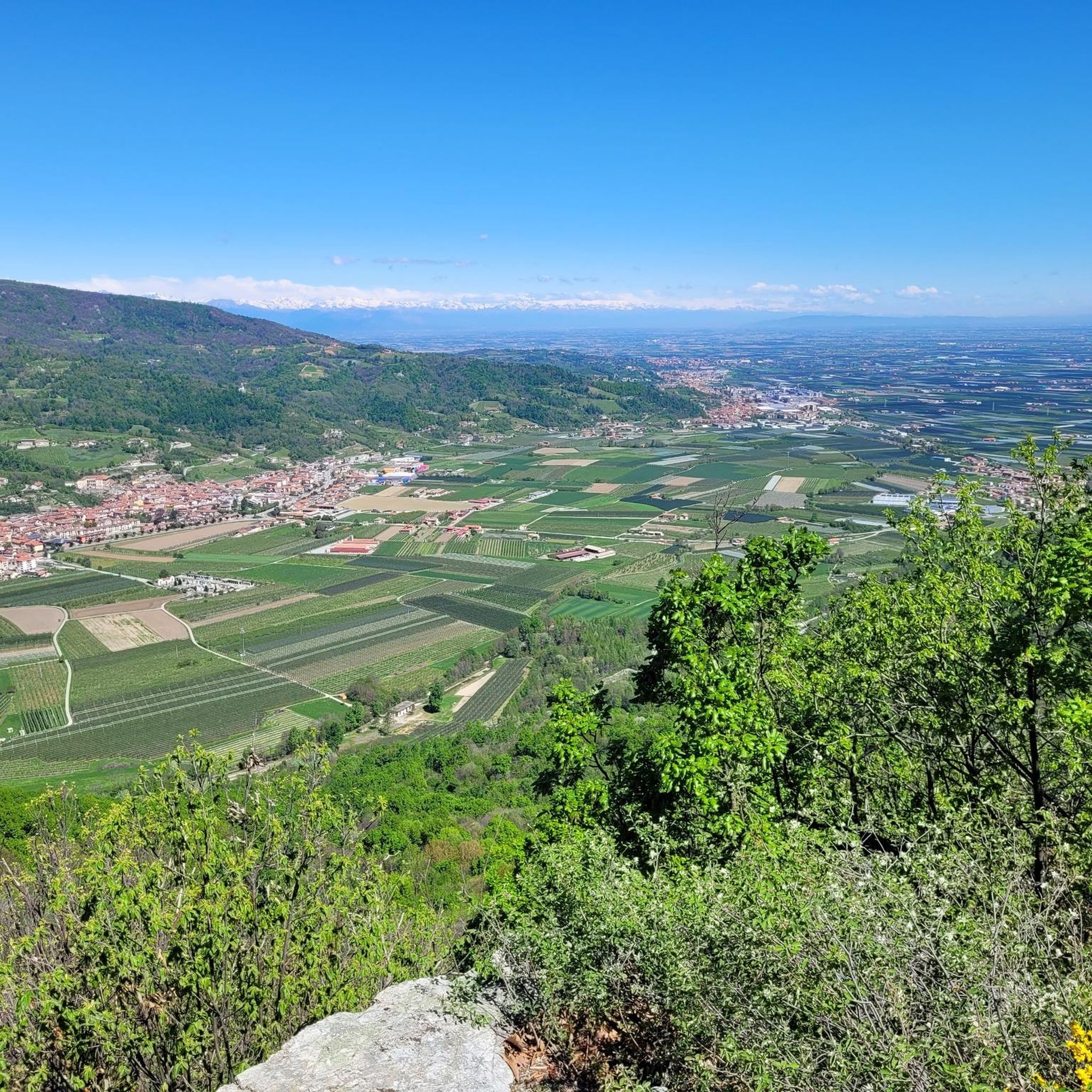
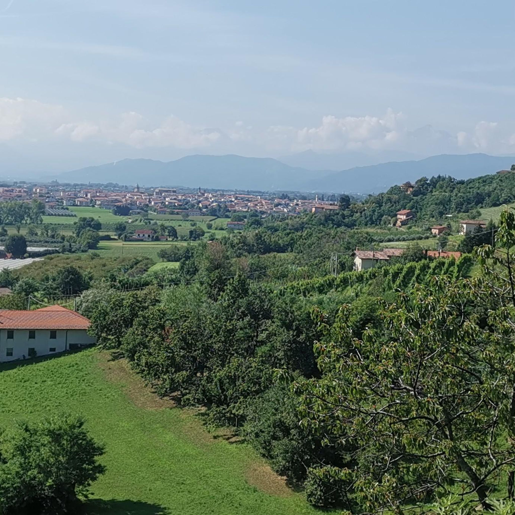
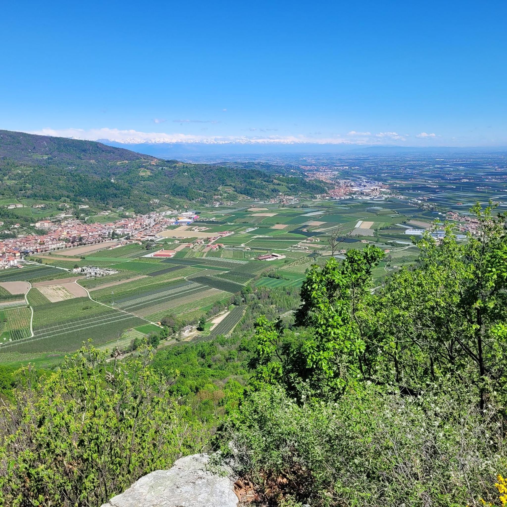
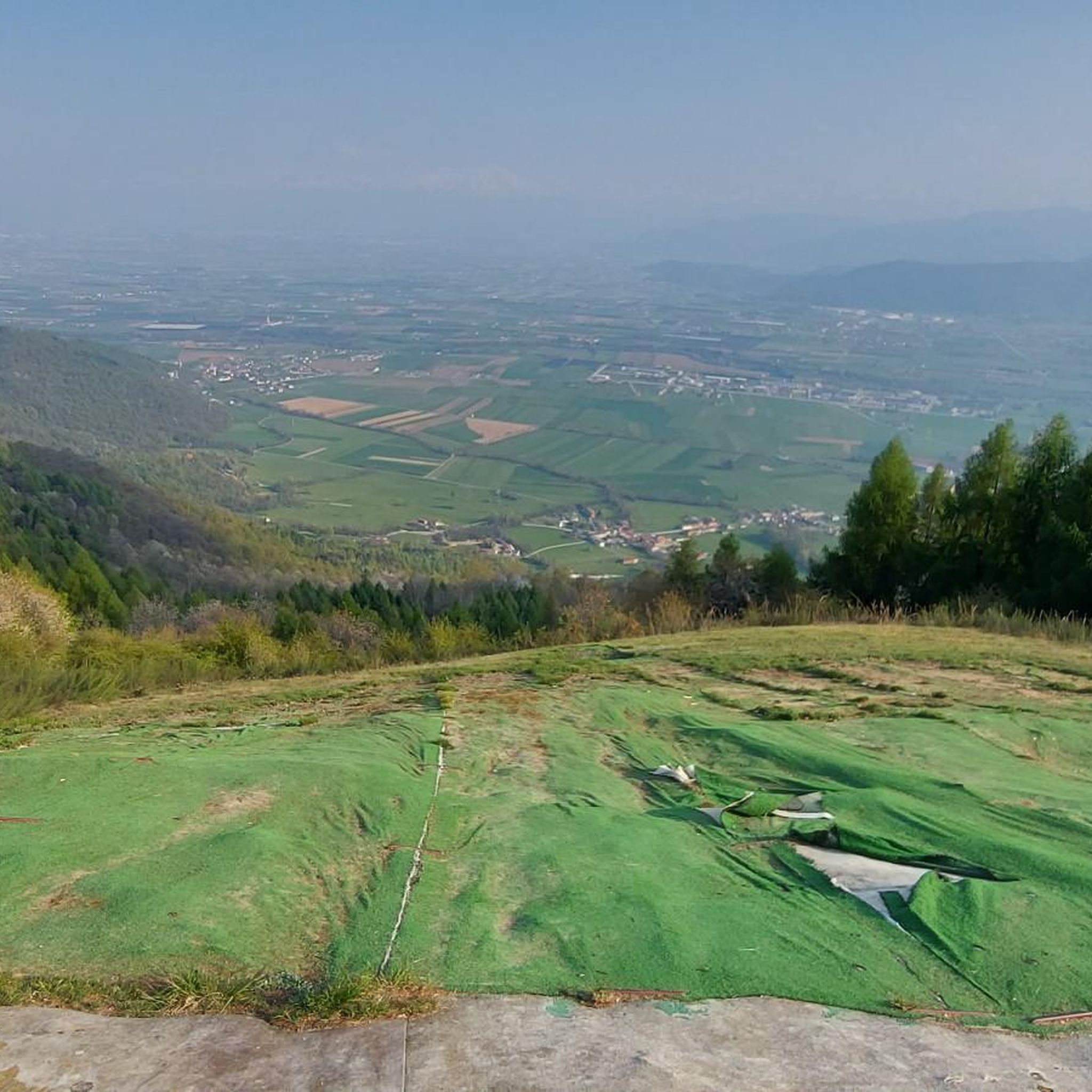
Hiking around Costigliole Saluzzo offers diverse landscapes in Italy's Piedmont region, situated at the entrance to the Valle Varaita and at the foot of the Cottian Alps. The terrain features alpine and pre-alpine scenery, including the Occitan Varaita Valley and wooded areas of chestnut, beech, and birch. Prominent natural features include Monte Pagliano, which offers routes through rich forests to panoramic viewpoints, and the slopes of Monviso, home to the largest Swiss pine forest in the Alps.
Best hiking trails…
Last updated: October 10, 2026
4.2
(5)
24
hikers
10.7km
02:57
190m
190m
Moderate hike. Good fitness required. Easily-accessible paths. Suitable for all skill levels.
2
hikers
7.99km
02:34
360m
360m
Moderate hike. Good fitness required. Easily-accessible paths. Suitable for all skill levels.

17.5km
05:35
740m
740m
Hard hike. Very good fitness required. Easily-accessible paths. Suitable for all skill levels.
4.8
(8)
30
hikers
18.1km
05:32
610m
610m
Hard hike. Very good fitness required. Mostly accessible paths. Sure-footedness required.
4.8
(6)
31
hikers
10.3km
03:21
430m
430m
Moderate hike. Good fitness required. Mostly accessible paths. Sure-footedness required.
Get access to more routes and recommendations from other explorers.
Already have an account?
Our route recommendations are based on thousands of hikes, rides, and runs completed by other people on komoot.
Start today with a free account
Your next adventure awaits.

Tips from the Community

Beautiful village, cut off by the ring road but perfect to visit by bike. The main church has a huge fresco on the facade, and beautiful Gothic terracotta details. Next door, the Confraternita del Gonfalone is also interesting. Here and there, other points of interest: frescoes, smaller chapels, alleys and stairways, the portico of the old market (with a Ventennio inscription and a plaque to the Fallen), medieval gates. Absolutely worth visiting.
0
0
Beautiful church-sanctuary perched above Costigliole Saluzzo, and clearly visible from the plain - especially from the road to Piasco. You can get there via a rather steep asphalt road, which turns into a dirt road at the foot of the small church. Near the church, a picnic area equipped with tables, benches, and a BBQ station; in front of the church, a fountain with drinking water; just below the picnic area, restrooms (incredible that someone in Italy thought of it, but better so - and a heartfelt thank you). Wonderful view of the terminal part of the Val Varaita and Piasco. A nice trip.
0
0
One of the three castles of Costigliole Saluzzo - private, so not visitable, but very beautiful even from the outside.
0
0

Church located in a quiet area and in a panoramic position, with the possibility of having picnics with barbecues outside
0
0
Named after Admiral Reynaudi, one of its owners, it was built on the ruins of another castle. It is currently known as Castello Rosso and is located in the medieval village of Costigliole.
0
0


Monte Pagliano is almost a thousand meters high, reaching 989 meters above sea level. Its summit is covered by a rich forest where several really fun MTB trails branch off. We recommend that you pedal a few more times to reach the beautiful panoramic point just beyond the summit from which you can admire Monviso, Monte San Bernardo and many other peaks.
4
0
A beautiful little village at the gates of the Varaita valley, characterised by many beautiful wooden sculptures along the streets of the village
0
0
Frequently Asked Questions
What types of landscapes can I expect to see while hiking around Costigliole Saluzzo?
The region offers a diverse mix of alpine and pre-alpine scenery. You'll find yourself in the beautiful Occitan Varaita Valley, with trails leading through rich forests of chestnut, beech, and birch. Higher up, you can experience the majestic Cottian Alps and even the largest Swiss pine forest in the Alps on the slopes of Monviso.
Are there hiking routes suitable for beginners or those looking for an easier walk?
Yes, Costigliole Saluzzo offers routes for various fitness levels. There are 2 easy routes available, perfect for beginners or a relaxed stroll. These paths typically feature gentler terrain and shorter distances.
Can I find challenging hikes with significant elevation gain in this area?
Absolutely. For those seeking a more strenuous experience, there are 2 difficult routes. An example is the Monte Pagliano Loop from Rossana, which covers 17.5 km with considerable elevation gain, offering rewarding panoramic views.
What kind of historical landmarks or attractions can I discover along the trails?
Costigliole Saluzzo is known as the 'country of castles.' You might encounter structures like Castello Rosso, Castellotto, and Castello Reynaudi. Many trails also pass through historic villages or near ancient chapels, such as the Historic trail to Belvedere via San Defendente Chapel (Route U98), which leads to a scenic viewpoint.
Are there any routes that offer panoramic viewpoints of the surrounding mountains?
Yes, several routes provide stunning vistas. Hikes around Monte Pagliano, for instance, lead to panoramic points where you can admire Monviso, Monte San Bernardo, and on clear days, even Monte Rosa and the Matterhorn. The Church of San Michele – Monte Pagliano loop from Costigliole Saluzzo is another excellent option for views.
What do other hikers say about the trails in Costigliole Saluzzo?
The area is highly rated by the komoot community, with an average score of 4.5 stars from nearly 500 reviews. Hikers often praise the diverse terrain, from alpine valleys to pre-alpine forests, and the well-maintained paths that lead to historic sites and scenic viewpoints.
Are there any circular hiking routes available?
Yes, there are several circular routes. A notable one is the Monte Pagliano – Church of San Michele loop from Piasco, which offers a moderate challenge and takes you through varied landscapes, returning to your starting point.
What are some of the cultural highlights or nearby attractions worth visiting after a hike?
Beyond the trails, you can explore the historic center of Saluzzo, visit the impressive Castiglia of Saluzzo, or see the Manta Castle. The town of Costigliole Saluzzo itself features historical buildings like Palazzo Giriodi di Monastero and the Parish Church of Santa Maria Maddalena with its ancient frescoes.
How many hiking trails are available in total around Costigliole Saluzzo?
There are over 15 hiking trails available around Costigliole Saluzzo, offering a wide range of options from easy walks to more challenging treks through the diverse Piedmont landscape.
Are there any long-distance trails that pass through or end in Costigliole Saluzzo?
Yes, Costigliole Saluzzo serves as the endpoint for the twelfth and final stage of the Varaita Valley Trail. This long-distance route immerses trekkers in the green forests and historic villages of the valley, making it a significant destination for trekkers.
What is the best time of year to go hiking in Costigliole Saluzzo?
The region is generally pleasant for hiking from spring through autumn. Spring brings blooming wildflowers and mild temperatures, while autumn offers vibrant foliage. Summer is also suitable, especially for higher altitude trails, but always check local weather conditions before heading out.
Can I find trails that connect different towns or villages in the area?
Yes, some trails connect local communities, allowing you to experience the region's charming villages. The U92 Trail: Costigliole Saluzzo to Rossana is a great example, linking two towns with scenic views and historic castles along the way.
Most popular routes around Costigliole Saluzzo
Most popular attractions around Costigliole Saluzzo

Get inspired with the komoot mobile app


Explore more
Browse the best Hikes in other regions.
