The best walks and hikes around Baone
4.4
(1088)
4,438
hikers
97
hikes
Hiking around Baone offers access to the diverse landscapes of the Euganean Hills, a volcanic territory in Italy's Veneto region. The area features rolling, hilly terrain with Mediterranean scrub, forests, and distinctive volcanic rock formations. Hikers can explore a varied environment characterized by olive groves, vineyards, and unique geological features, providing panoramic views over the surrounding countryside.
Best hiking trails around Baone
- The most popular hiking route is Monte Cecilia Trail No. 8, a 3.6 miles (5.8 km) trail…
Last updated: October 10, 2026
4.5
(207)
632
hikers
5.85km
01:45
180m
180m
Embark on the Monte Cecilia Trail No. 8, an easy hike covering 3.6 miles (5.8 km) with a gentle elevation gain of 588 feet (179 metres). You can expect to…
4.5
(196)
588
hikers
5.39km
01:35
160m
160m
Embark on the Monte Cecilia Trail for an easy hike through varied terrain, featuring both paved and gravel sections with some gentle uphill climbs. This route spans 3.3 miles (5.4…

4.7
(29)
141
hikers
7.36km
02:24
280m
280m
Historic trail through baroque gardens and ancient Euganean Hills with 17th-century water gates and mystical labyrinths.
4.5
(2)
9
hikers
6.93km
02:15
310m
310m
Hike the moderate 4.3-mile Arquà Petrarca Literary Trail (via Allacciante "E") through the Euganean Hills, exploring Petrarch's village.
10
hikers
4.08km
01:08
70m
70m
Hike the easy 2.5-mile Percorso delle Fontane trail through the picturesque Euganean Hills, discovering historic fountains and scenic views.
Get access to more routes and recommendations from other explorers.
Already have an account?
Our route recommendations are based on thousands of hikes, rides, and runs completed by other people on komoot.
Start today with a free account
Your next adventure awaits.

Tips from the Community

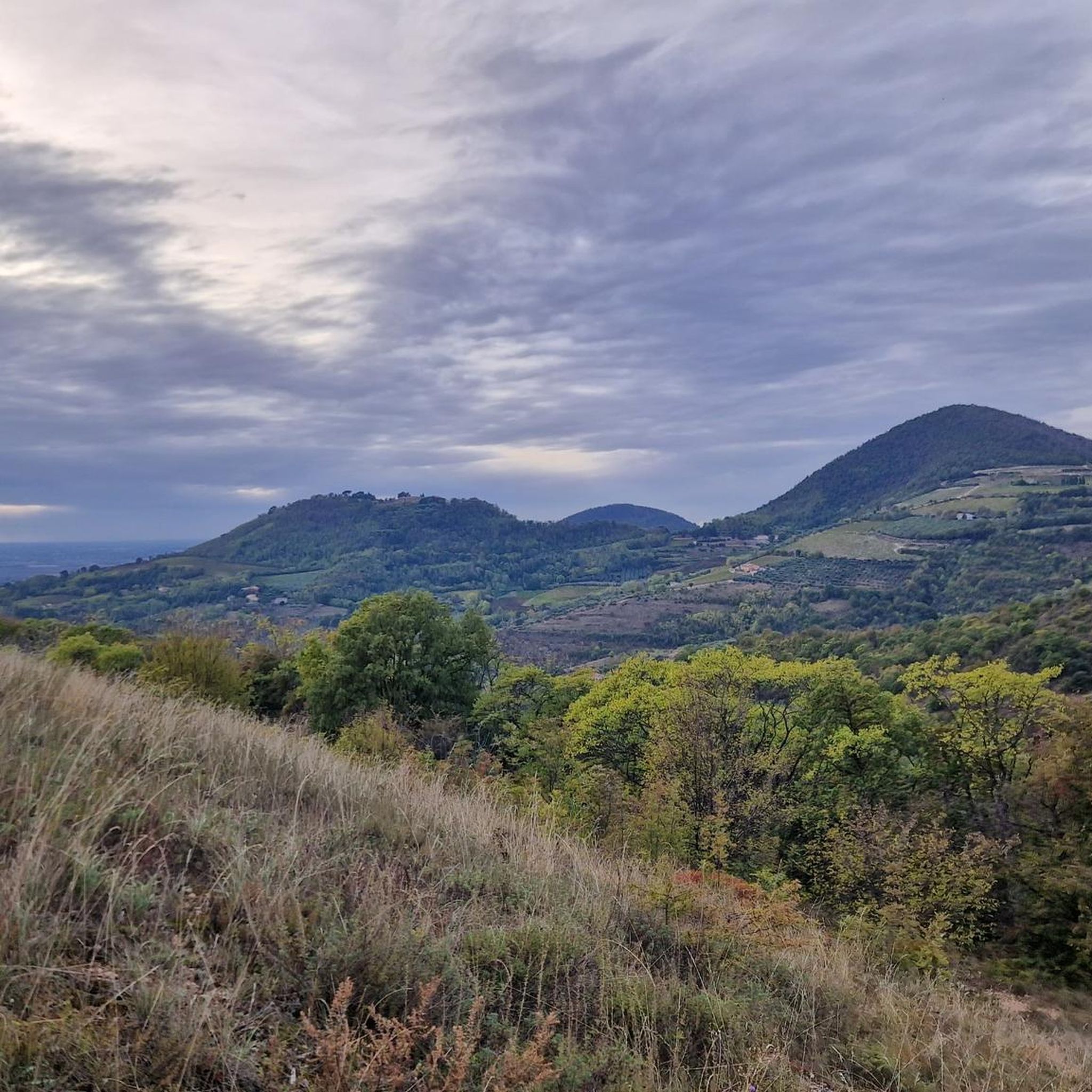
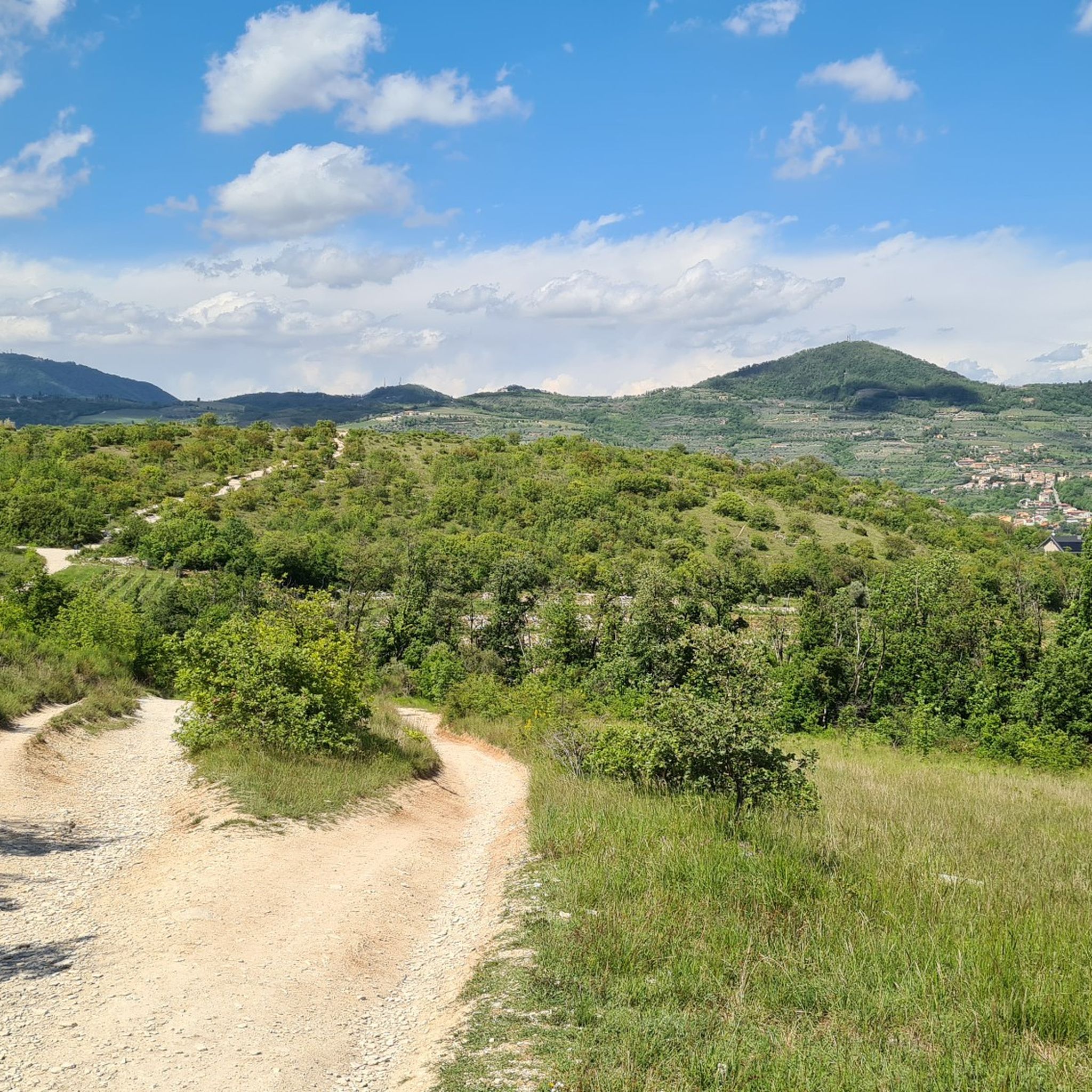
view from the white limestone plateau of M. Cecilia
0
0
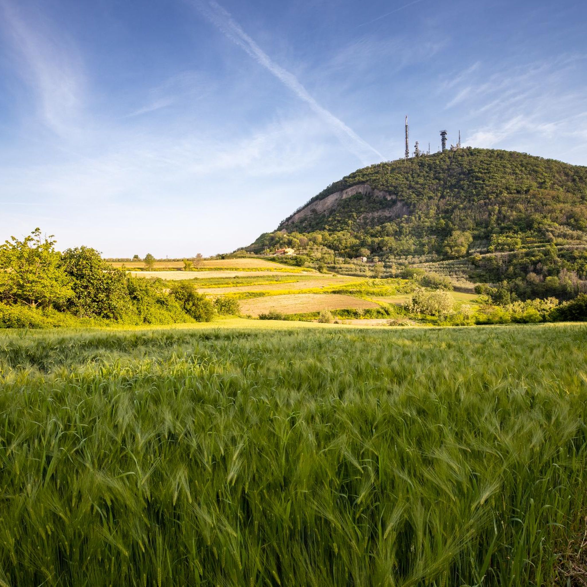
Characteristic and unmistakable, precisely dominating Este
0
0

The Villa Barbarigo Pizzoni Ardemani in Valsanzibio di Galzignano Terme is a Baroque masterpiece from the 17th century, world-renowned for its extraordinary historic garden, considered among the most important and intact in Europe. Designed by architect Luigi Bernini, the complex was created at the behest of the noble Venetian Barbarigo family as a solemn vow to God for having escaped the terrible plague of 1631. The park is not a simple ornamental work, but a true allegorical and spiritual path of purification. The visitor is invited to experience a journey of salvation that unfolds through scenic fountains, streams, fishponds, and over seventy statues rich in symbolism. The central and iconic element of the garden is the monumental labyrinth of centuries-old boxwood, one of the oldest and largest in the world, symbolizing the difficulties and redemption of the human soul.
1
0
Unmistakable small church of medieval origin right behind Villa Barbarigo just before the cemetery.
0
0
It is the best-known image of the very famous villa.
0
0

This is the church near the poet Petrarch's house, where he often went to pray. It is a Romanesque structure dating back to the 12th century, modified several times, and contains a magnificent 17th-century wooden altar, a Roman-era holy water font, and much more. A visit to the museum is highly recommended. Classical music concerts are occasionally held there.
0
0

The Diana Portal in Valsanzibio is the monumental entrance to the Garden of Villa Barbarigo, a symbol of spirituality and power, designed in the 17th century by Luigi Bernini. Located in the heart of the Historic Garden of Villa Barbarigo in Valsanzibio (Padua), the Diana Portal—also known as Diana's Pavilion—was the main waterway access to the noble estate during the 17th and 18th centuries. This majestic portal is not only a Baroque architectural masterpiece, but also represents the beginning of the allegorical path of purification and salvation commissioned by Saint Gregory Barbarigo. https://www.valsanzibiogiardino.com/it/portfolio-item/portale-diana/
3
0

A cool refreshment point along trail no. 3/Atestino
0
0
Frequently Asked Questions
How many hiking trails are available around Baone?
Baone offers a wide variety of hiking opportunities within the Euganean Hills, with nearly 100 distinct trails. These routes cater to different fitness levels, ranging from easy strolls to more challenging ascents.
What kind of terrain can I expect on hikes in Baone?
Hiking around Baone means exploring the unique volcanic terrain of the Euganean Hills. You'll encounter rolling hills, Mediterranean scrub, dense forests, and distinctive volcanic rock formations. Many trails wind through olive groves and vineyards, offering picturesque views of the surrounding countryside.
Are there easy hiking trails suitable for beginners or families in Baone?
Yes, Baone has numerous easy trails perfect for beginners or families. For instance, the Monte Cecilia Trail No. 8 is an easy 5.8 km route that winds through olive groves with scenic views. Another great option is the Fountains Trail, an easy 4 km path that allows you to discover historic fountains.
Are there any dog-friendly hiking trails in Baone?
While specific regulations for dogs on every trail can vary, generally, the natural trails within the Euganean Hills Regional Park are dog-friendly, provided your dog is kept on a leash and you clean up after them. Many local trails, especially those through forests and open countryside, are suitable for walks with your canine companion.
Where can I find the best panoramic views in Baone?
Baone is renowned for its panoramic views. Trails around Monte Cecilia, such as the Monte Cecilia Trail, offer splendid vistas over Monselice and the Hills of Arquà Petrarca. The Vegro di Monte Cecilia is specifically highlighted as a beautiful panoramic point, and Monte Cero also provides expansive views from its woods and pastures.
Are there any historical or cultural attractions accessible from the hiking trails?
Absolutely. Baone is close to several historical and cultural sites. The Historic Valsanzibio Garden Trail leads through baroque gardens and ancient Euganean Hills, showcasing 17th-century water gates and mystical labyrinths. You can also explore the medieval village of Arquà Petrarca, which is connected by trails like the Connecting Trail 'E' from Arquà.
What is the best time of year to go hiking in Baone?
The Euganean Hills offer pleasant hiking conditions for much of the year. Spring and autumn are particularly ideal, with mild temperatures and vibrant natural colors. Spring brings blooming flora, while autumn showcases rich foliage and is perfect for exploring vineyards. Summer can be warm, so early morning or late afternoon hikes are recommended, while winter offers a quieter, often misty, charm.
Are there circular hiking routes available in Baone?
Yes, many trails around Baone are designed as circular routes, allowing you to start and end at the same point. The Monte Cecilia Trail No. 8 is a popular example of an easy loop. The longer Atestino Trail, while more challenging, also forms a significant loop traversing the central and southern Euganean Hills.
What kind of flora and fauna can I observe while hiking in Baone?
The Euganean Hills are part of a protected regional park, boasting diverse flora and fauna. You can expect to see Mediterranean scrub, various forest types, olive groves, and vineyards. The region is home to rare plant species like butcher's broom and wild asparagus. Birdwatching opportunities are also abundant, especially within the park's varied ecosystems.
Do I need a permit to hike in the Euganean Hills Regional Park near Baone?
Generally, you do not need a special permit for day hiking on the marked trails within the Euganean Hills Regional Park. However, it's always good practice to respect local regulations, stay on marked paths, and be mindful of private property.
What do other hikers enjoy most about the trails in Baone?
The hiking trails in Baone are highly rated by the komoot community, with an average score of 4.3 stars from over 800 reviews. Hikers often praise the diverse landscapes, the unique volcanic geology, the rewarding panoramic views, and the well-maintained paths that cater to various skill levels.
Is public transport available to reach hiking trailheads in Baone?
While specific public transport routes directly to every trailhead might be limited, Baone is accessible by local bus services connecting it to larger towns in the Province of Padua. From the town center, some trailheads may be within walking distance, or a short taxi ride could be an option. It's advisable to check local bus schedules in advance.
Are there parking facilities available near the hiking trails?
Yes, parking is generally available near popular trailheads and in the vicinity of Baone's town center. For well-known routes like those around Monte Cecilia, designated parking areas are often provided. However, during peak seasons, these spots can fill up quickly, so arriving early is recommended.
Most popular attractions around Baone

Get inspired with the komoot mobile app


Explore more
Browse the best Hikes in other regions.
