The best walks and hikes around Galzignano Terme
4.3
(1208)
5,314
hikers
113
hikes
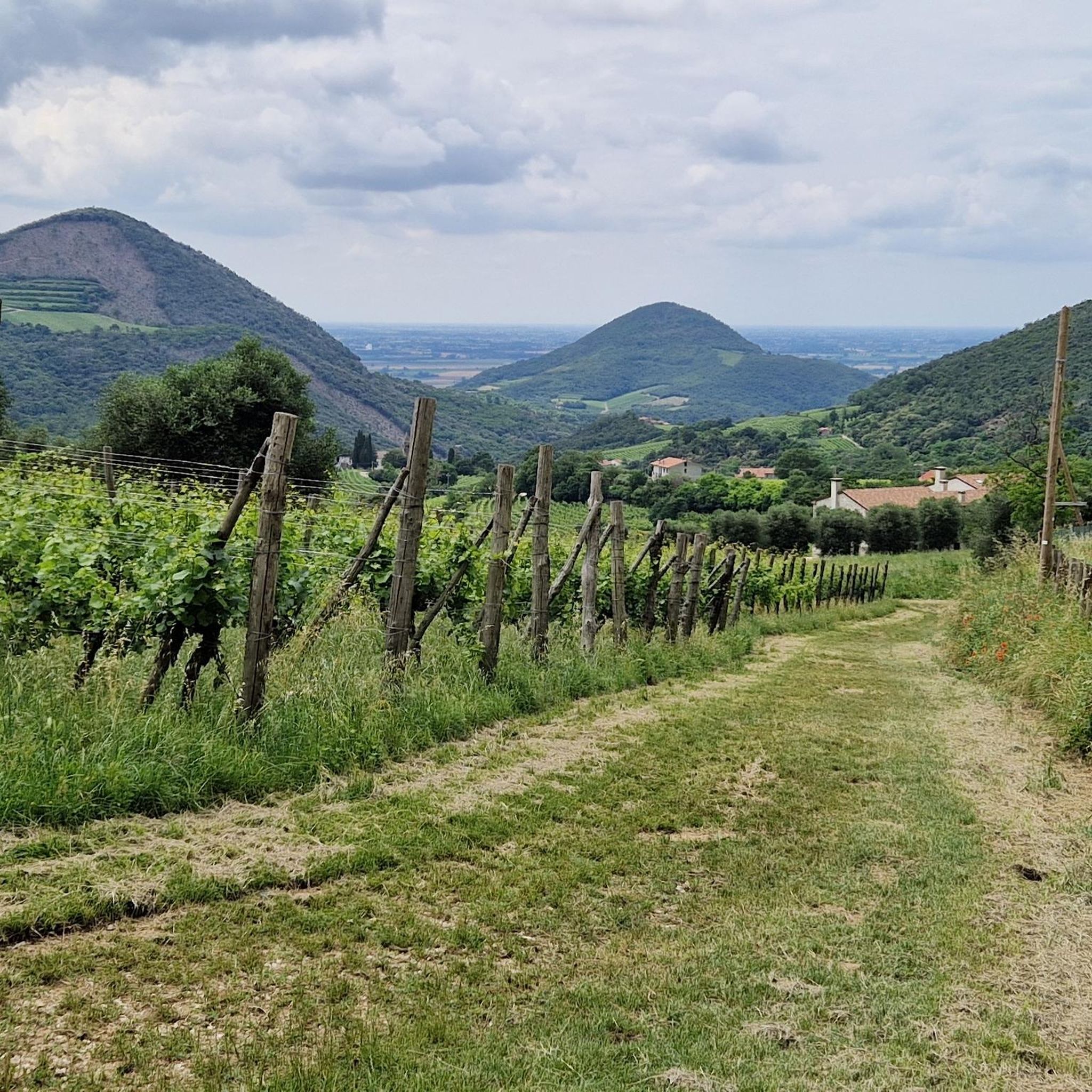
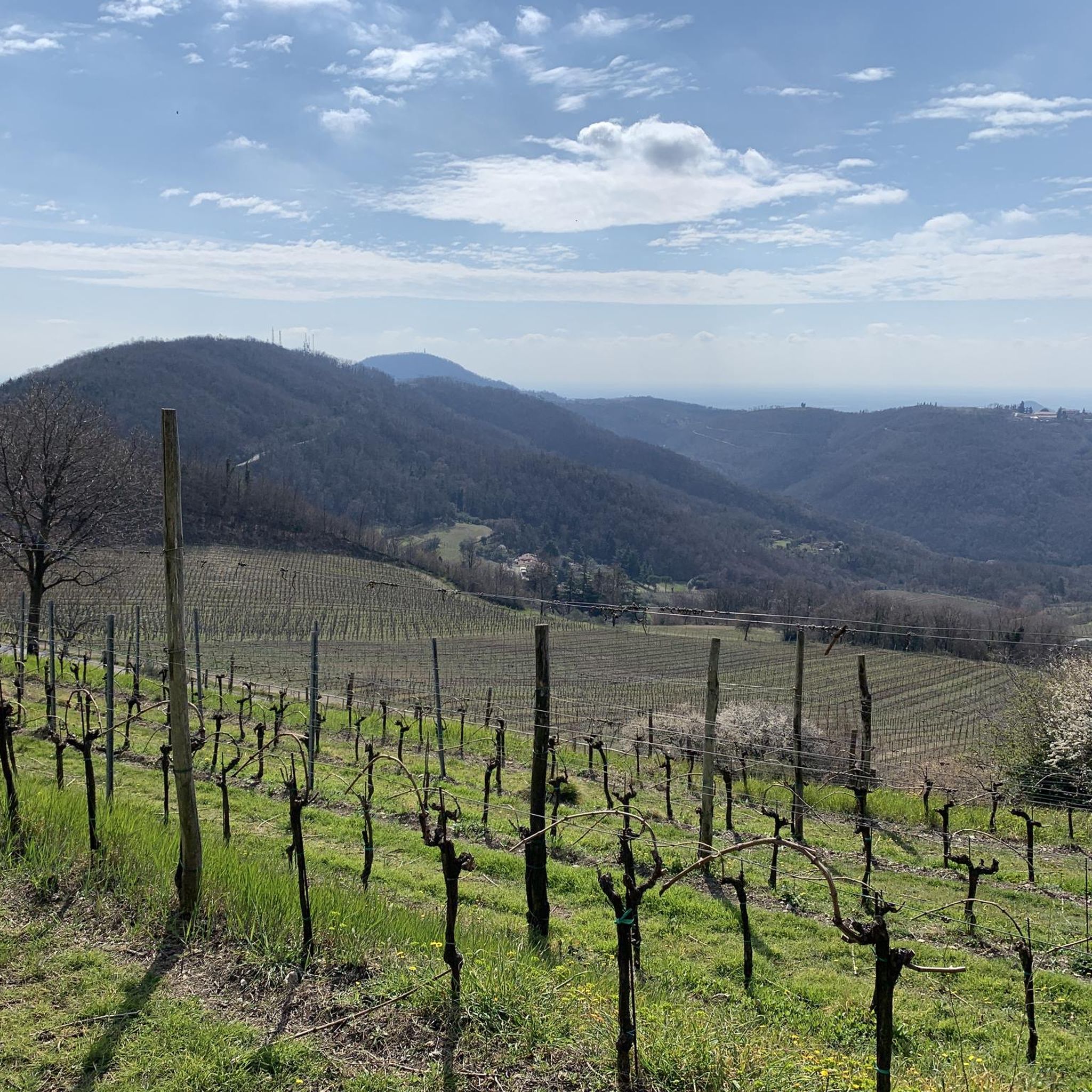
Hiking around Galzignano Terme offers exploration within the Euganean Hills, a region characterized by its volcanic origin and varied topography. The landscape features gentle slopes, challenging ascents, vineyards, cultivated fields, and dense chestnut forests. Hikers can find panoramic viewpoints over the Veneto plains and historic villages. This area provides a network of trails suitable for various abilities.
Best hiking trails around Galzignano Terme
- The most popular hiking route is Sentiero G.G. Lorenzoni to Monte Venda via Olivetan Monastery ruins,…
Last updated: July 7, 2026
4.6
(174)
653
hikers
7.39km
02:53
380m
380m
Chestnut forest trail through Euganean Hills to ancient monastery ruins and glacial relics.
4.6
(130)
492
hikers
Hard hike. Good fitness required. Sure-footedness, sturdy shoes and alpine experience required.

Sign up for free
4.3
(9)
37
hikers
5.20km
01:42
230m
230m
Woodland loop through Euganean Hills with multiple viewpoints over Veneto plains and historic villages.
4.1
(16)
48
hikers
Moderate hike. Good fitness required. Mostly accessible paths. Sure-footedness required.
3.8
(10)
24
hikers
8.62km
02:30
230m
230m
Hike the moderate 5.4 miles (8.6 km) Monte delle Valli Trail in the Euganean Hills, reaching the summit for scenic views.
Get access to more routes and recommendations from other explorers.
Sign up for free
Already have an account?
Our route recommendations are based on thousands of hikes, rides, and runs completed by other people on komoot.
Start today with a free account
Your next adventure awaits.
Login or Signup

Tips from the Community

you brush past doing the famous Blue Line, the longest and most famous single track in the Colli E.
0
0

Il Corno del Venda is one of the most striking reliefs in the Euganean Hills Regional Park, located in the territory of Galzignano Terme on the western slope of Monte Venda. With its 440 meters of altitude, it stands out for its wild nature and imposing trachyte walls that offer landscape views of rare beauty. The area is crossed by highly significant hiking trails, such as the path dedicated to G.G. Lorenzoni, which offers spectacular views towards Monte Lozzo and the Po Valley. Characterized by dense vegetation of chestnut trees and Mediterranean scrub, Corno del Venda is a place where volcanic geology meets history, given the proximity to the ruins of the ancient Olivetan Monastery. Less frequented than the main summit, it represents an ideal destination for those seeking a more immersive and quiet trek, far from tourist flows, in an environment that preserves the primordial charm of the hills intact.
0
0


Short but technical route with non-trivial slopes
0
0


Return point of our tour in the central-northern area of the Park
0
0


A small relief with a wonderful panoramic view.
3
0
Frequently Asked Questions
How many hiking trails are available around Galzignano Terme?
There are over 100 hiking routes in and around Galzignano Terme, offering a wide range of options for all skill levels. This includes 23 easy, 74 moderate, and 12 difficult trails, ensuring there's something for everyone to explore in the Euganean Hills.
What kind of landscapes can I expect to see while hiking in Galzignano Terme?
Hiking in Galzignano Terme offers diverse landscapes within the Euganean Hills, a region of volcanic origin. You'll encounter picturesque scenery including vineyards, cultivated fields, and dense chestnut forests. Many trails provide panoramic viewpoints over the Veneto plains and historic villages.
Are there any easy hiking trails suitable for beginners or families?
Yes, Galzignano Terme offers 23 easy hiking trails perfect for beginners or families. These paths allow you to enjoy the natural beauty of the Euganean Hills without strenuous climbs. While specific easy routes aren't highlighted here, you can find many suitable options on komoot.
Are there any circular hiking routes in Galzignano Terme?
Yes, there are several circular routes. For a moderate option, consider the Sentiero del Monte Gallo, Monte delle Grotte e Monte delle Basse, which is a 6.9 km loop. For experienced hikers, the difficult Sentiero del Monte Venda — ring tour offers a challenging 6.0 km exploration of the highest point in the Euganean Hills.
What are some notable natural features or viewpoints to look out for?
The Euganean Hills are rich in natural features and offer stunning viewpoints. You can visit the Mottolone Plateau for expansive views, or hike to the Monte Ceva Summit Cross. The region's volcanic peaks like Monte Venda and Monte Gallo also provide excellent panoramic vistas.
Are there any historical sites or landmarks accessible via hiking trails?
Absolutely. One significant historical site is the evocative ruins of the Olivetani Monastery on Monte Venda, dating back to the 12th century. You can reach it via the Sentiero G.G. Lorenzoni, which offers expansive views over the hills and plain.
What do other hikers say about the trails in Galzignano Terme?
The trails in Galzignano Terme are highly rated by the komoot community, with an average score of 4.4 stars from over 1,200 reviews. Hikers often praise the varied terrain, from gentle slopes to challenging ascents, and the beautiful scenery of the Euganean Hills, including vineyards and dense forests.
What is the best season for hiking in Galzignano Terme?
The Euganean Hills offer pleasant hiking conditions for much of the year. Spring and autumn are particularly ideal, with mild temperatures and vibrant colors. Summer can be warm, but shaded forest trails provide relief. Winter hiking is also possible, offering a different, often quieter, experience of the landscape.
Are there any trails that lead to the highest points in the Euganean Hills?
Yes, Monte Venda is the highest point in the Euganean Hills. The Sentiero del Monte Venda — ring tour is a challenging route that explores this peak, offering rewarding views for experienced hikers.
Can I find trails that offer a mix of woodland and open views?
Many trails in Galzignano Terme provide a diverse hiking experience. For example, the Sentiero del Monte Gallo leads through woodlands and offers multiple viewpoints over the Veneto plains, showcasing the varied topography of the Euganean Hills.
Are there any other attractions near Galzignano Terme that complement a hiking trip?
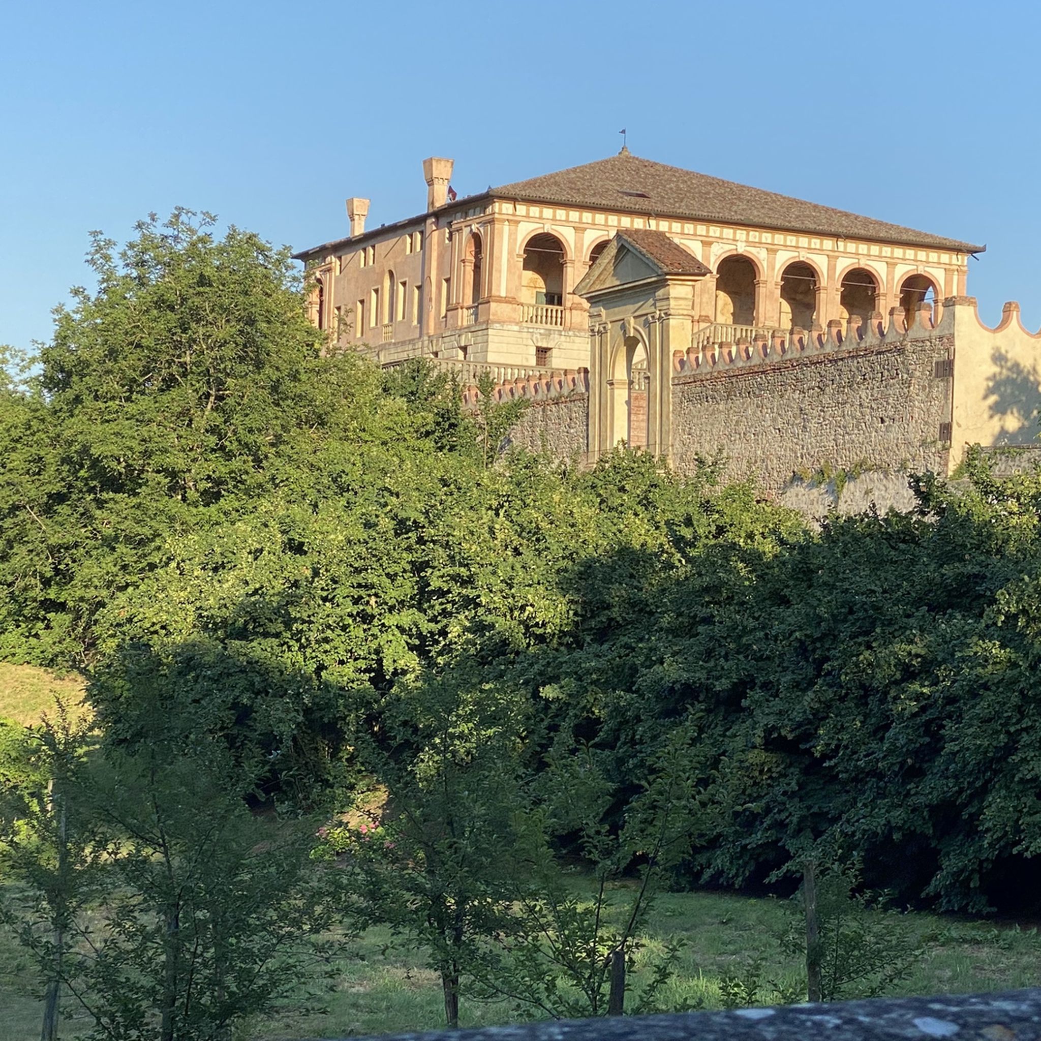
While not a hiking trail itself, the spectacular 17th-century Villa Barbarigo in Valsanzibio is a notable attraction nearby. It boasts a renowned 15-hectare garden with ancient fountains, statues, and one of the largest historic boxwood labyrinths, providing a cultural complement to your outdoor adventures.
Most popular routes around Galzignano Terme
Most popular attractions around Galzignano Terme

Get inspired with the komoot mobile app


Explore more
Browse the best Hikes in other regions.
