The best walks and hikes around San Giovanni Lupatoto
4.4
(1292)
9,124
hikers
24
hikes
Hiking around San Giovanni Lupatoto offers access to varied landscapes, primarily influenced by the Adige River and its surrounding green spaces. The region features generally flat terrain, with numerous paths running alongside the river and through protected areas like Pontoncello Park. These natural features provide opportunities for walks and longer hikes, connecting the town to the wider Veneto countryside.
Best hiking trails around San Giovanni Lupatoto
- The most popular hiking route is Corte Sorio loop from San Giovanni Lupatoto, a 5.0 miles (8.1 km) moderate trail that takes 2 hours 3 minutes to complete. This route explores the local countryside and agricultural areas.
- Another top favourite among local hikers is Regional Fishing Reserve – Risorgive Cycle Path loop from San Giovanni Lupatoto, an easy 4.5 miles (7.3 km) path. This trail follows the Risorgive Cycle Path, offering views of the river and surrounding nature.
- Local hikers also love the Villa and Buri Park – Parco di Villa Bernini Buri loop from San Giovanni Lupatoto, a 13.5 miles (21.8 km) trail leading through diverse landscapes, often completed in about 5 hours 31 minutes.
- Hiking around San Giovanni Lupatoto is defined by riverine paths along the Adige, extensive green areas like Pontoncello Park, and flat agricultural terrain. The network offers options for different ability levels, from easy strolls to longer, more challenging routes.
- The routes in San Giovanni Lupatoto are highly rated by the komoot community with an average score of 4.5 stars from over 1,200 reviews. More than 9,500 hikers have used komoot to explore San Giovanni Lupatoto's varied terrain.
Last updated: September 28, 2026
3.9
(24)
135
hikers
Easy hike. Great for any fitness level. Easily-accessible paths. Suitable for all skill levels.
3.9
(25)
129
hikers
Easy hike. Great for any fitness level. Easily-accessible paths. Suitable for all skill levels.

4.4
(11)
90
hikers
Easy hike. Great for any fitness level. Easily-accessible paths. Suitable for all skill levels.
4.8
(5)
51
hikers
Moderate hike. Good fitness required. Easily-accessible paths. Suitable for all skill levels.
4.1
(8)
48
hikers
Easy hike. Great for any fitness level. Easily-accessible paths. Suitable for all skill levels.
Get access to more routes and recommendations from other explorers.
Already have an account?
Our route recommendations are based on thousands of hikes, rides, and runs completed by other people on komoot.
Start today with a free account
Your next adventure awaits.
Tips from the Community

The bombard house is a late 19th century building built for the accommodation of the operators and families for the management of the water channels in the area. . During WWII it was bombed and hence the name. Recently refurbished.
2
0

Be careful to bring water because the fountains are only at the beginning, at the end and in the inhabited centres
0
0

circular tour Pozzo - Zevio and back
0
0


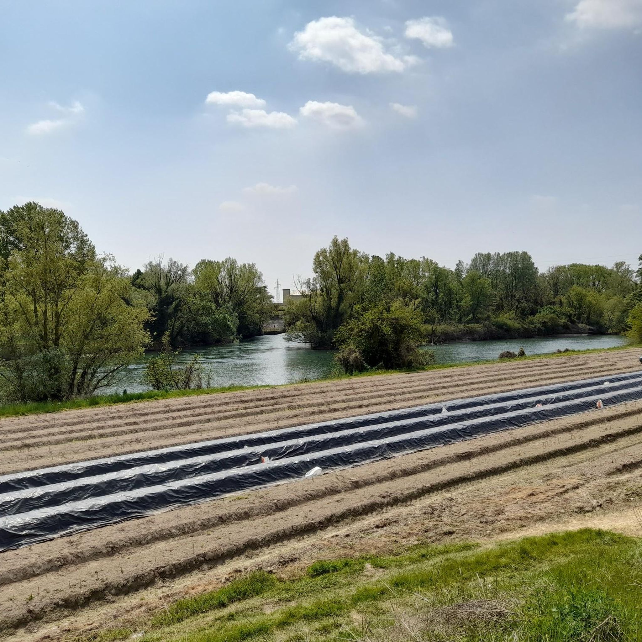
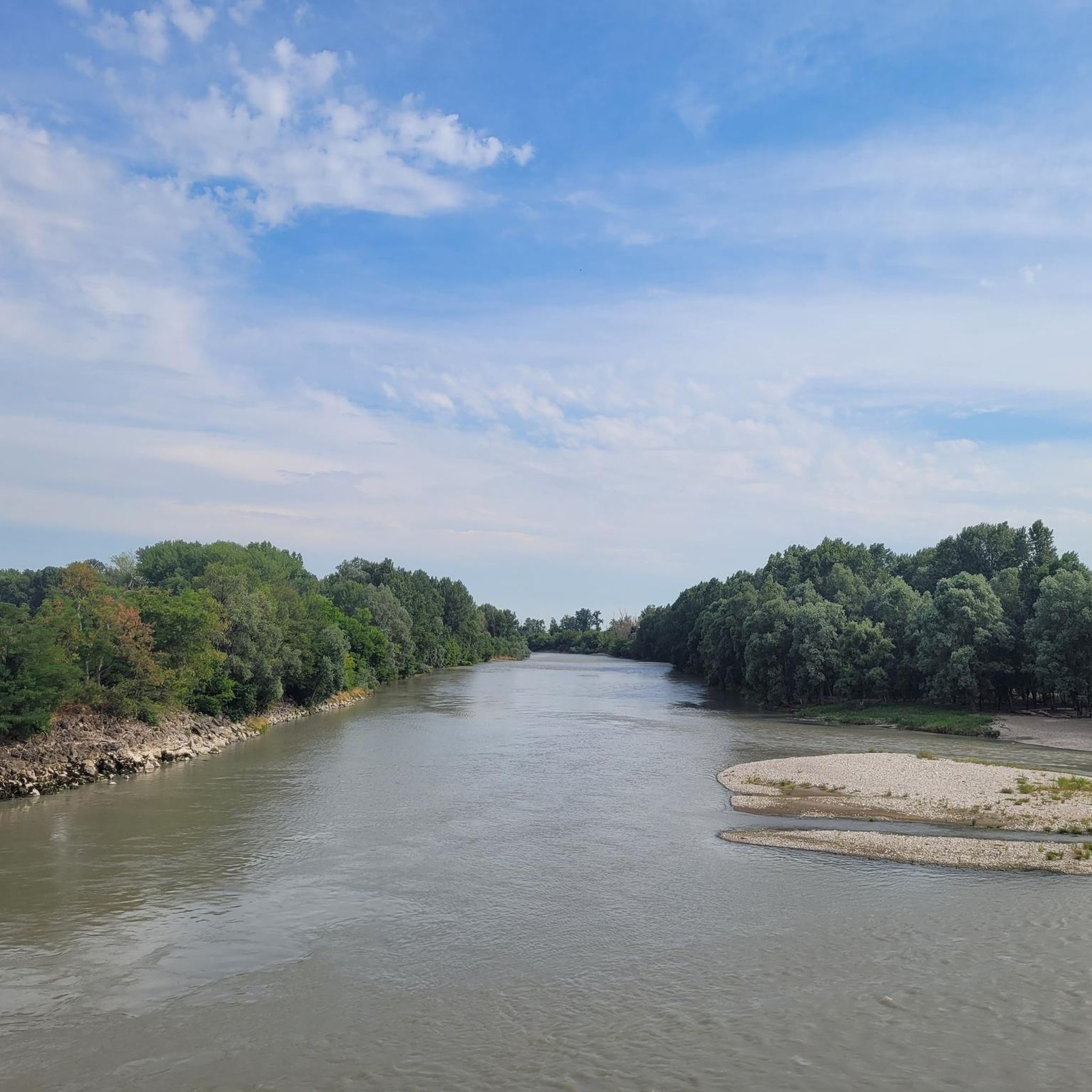
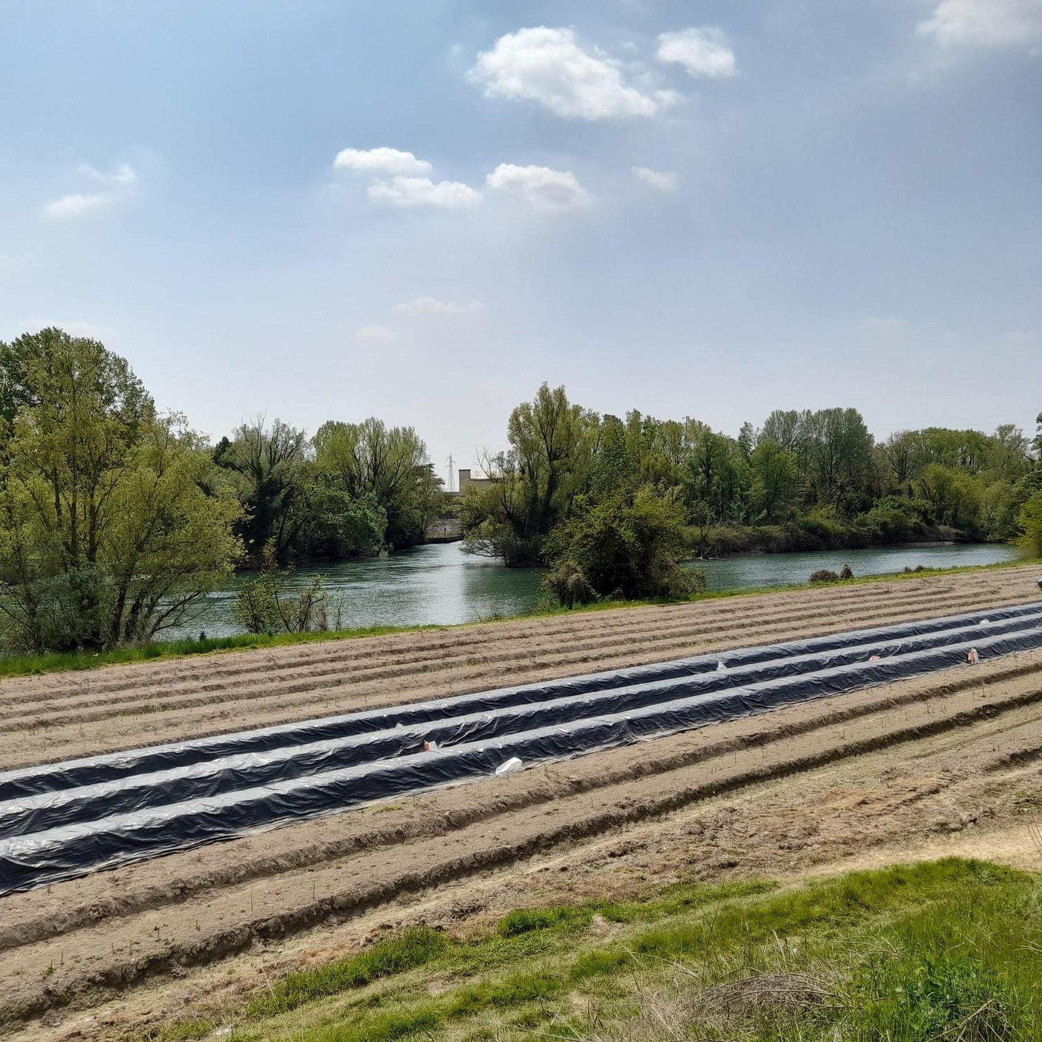
Both embankments that connect the Enel dam to Zevio are very beautiful. The left bank is a very comfortable cycle path dedicated to Marco Pantani which on clear days takes you to admire the profile of the Veronese pre-Alps. The right bank is not paved, but wider in some stretches and in any case very smooth and well maintained. It is pleasant to stop and admire the extensive cultivation of strawberries, asparagus and other vegetables that enhance the area. How much work ...! I didn't know about these tracks. In the last few months I have retraced these banks three times, always discovering something new and beautiful.
0
0

The Church of San Giovanni Battista, also known as the Church of San Giovanni Battista in Nativitate, is the parish church of San Giovanni Lupatoto and is located at the foot of the road that goes in the direction of Verona. The first stones are said to have been laid in the 13th century and with future expansions over the centuries, it is now as it is today.
0
0

This cycle path cuts the province of Verona in half, just below the capital, and joins the paths along the banks of the Adige river to those of the cycle path from Peschiera del Garda to Mantua along the Mincio river. An easy 35km route, without altitude difficulties. and suitable for families.
3
0
BICYCLE DISCOVERING THE TERRITORY BETWEEN VENETIAN VILLAS AND RISORGIVE Sunday 1st May 2022 2.00 pm Piazza IV Novembre The event is completely free and free, it aims to enhance the area, in a cycling / cultural form, as well as to promote sustainable cyclomobility. PATH : About 30km, easy and suitable for families. 4 itineraries with stop and refreshment and historical / cultural study. This cycling / gravel route will take you to discover our territory through Venetian villas, courtyards, resurgences and rice fields. Life of other times in the Veneto Northeast, along dirt roads, undergrowth, cycle paths and secondary roads.
2
0
Frequently Asked Questions
How many hiking trails are available in San Giovanni Lupatoto?
San Giovanni Lupatoto offers a diverse selection of over 15 hiking routes. These trails cater to various preferences, ranging from easy strolls to more challenging excursions, allowing you to explore the region's natural beauty.
What kind of terrain can I expect when hiking around San Giovanni Lupatoto?
The terrain around San Giovanni Lupatoto is generally flat, primarily influenced by the Adige River and its surrounding green spaces. You'll find numerous paths running alongside the river and through protected areas like Pontoncello Park, offering pleasant walks through agricultural landscapes and natural oases.
Are there easy hiking options suitable for beginners or casual walkers in San Giovanni Lupatoto?
Yes, San Giovanni Lupatoto is well-suited for beginners and casual walkers, with 12 out of 16 routes classified as easy. An excellent option is the Regional Fishing Reserve – Risorgive Cycle Path loop from San Giovanni Lupatoto, which is 7.3 km long and follows the Risorgive Cycle Path, offering gentle views of the river and nature.
Are there any longer or more challenging hikes for experienced trekkers?
For those seeking a longer challenge, the Villa and Buri Park – Parco di Villa Bernini Buri loop from San Giovanni Lupatoto is a 21.8 km trail with a 50-meter elevation gain, typically taking over 5 hours to complete. This route leads through diverse landscapes and is rated as difficult.
What natural features or parks can I explore while hiking in San Giovanni Lupatoto?
The region is rich in natural beauty, particularly along the Adige River. You can explore the Adige Park, which offers picturesque views and nature trails. The Pontoncello Park, known as the 'green lung' of the area, is a significant natural oasis along the Adige, home to diverse flora and fauna. Other green spaces include Laghetto Park and Park via Tortelli.
Are the hiking trails in San Giovanni Lupatoto suitable for families with children?
Yes, many areas are family-friendly. Pontoncello Park, for instance, is equipped with playgrounds and picnic areas, making it ideal for families. The generally flat terrain and numerous easy routes also ensure that children can comfortably enjoy the outdoors.
Can I bring my dog on the hiking trails in San Giovanni Lupatoto?
While specific regulations for each trail may vary, the natural parks and riverine paths around San Giovanni Lupatoto are generally welcoming to dogs, provided they are kept on a leash and owners clean up after them. The open green spaces offer plenty of room for your canine companion to enjoy the walk with you.
Are there any circular hiking routes available?
Yes, several popular routes in San Giovanni Lupatoto are circular. Examples include the Corte Sorio loop from San Giovanni Lupatoto (8.1 km) and the Regional Fishing Reserve – Risorgive Cycle Path loop from San Giovanni Lupatoto (7.3 km), both offering convenient starting and ending points in the same location.
What historical or cultural attractions can I visit near the hiking routes?
San Giovanni Lupatoto's proximity to Verona allows easy access to significant cultural attractions. After your hike, you can explore landmarks such as the Arena of Verona, Piazza delle Erbe, Ponte Pietra, and the Castelvecchio Bridge, which are all within a short distance.
What do other hikers enjoy the most about hiking in San Giovanni Lupatoto?
The trails in San Giovanni Lupatoto are highly rated by the komoot community, with an average score of 4.5 stars from over 1,200 reviews. Hikers often praise the peaceful riverine paths, the extensive green areas like Pontoncello Park, and the well-maintained routes that offer a pleasant escape into nature.
Is public transport available to access hiking trailheads in San Giovanni Lupatoto?
San Giovanni Lupatoto is well-connected, and local bus services can provide access to various parts of the town and its surroundings, including areas near some trailheads. For specific routes, it's advisable to check local bus schedules and stops that align with your chosen starting point.
Are there any cafes or restaurants near the hiking trails in San Giovanni Lupatoto?
San Giovanni Lupatoto, being a town, offers various cafes, restaurants, and shops where hikers can refuel before or after their walks. While specific establishments directly on the trails might be limited to picnic areas in parks, the town center provides ample options for refreshments and meals.
Most popular routes around San Giovanni Lupatoto
Most popular attractions around San Giovanni Lupatoto

Get inspired with the komoot mobile app


Explore more
Browse the best Hikes in other regions.
