The best cycling routes around Boltiere
4.2
(1079)
8,818
riders
291
rides
Touring cycling around Boltiere is characterized by its flat to gently rolling terrain, situated within the Lombardy plain. The landscape features agricultural areas, small towns, and proximity to the Adda River, offering routes with minimal elevation gain. This region provides accessible paths suitable for various skill levels, often following waterways or connecting local villages.
Best touring cycling routes around Boltiere
- The most popular touring cycling route is Between Brembate and Crespi d'Adda, a 4.9 miles (7.9 km) trail that…
Last updated: October 9, 2026
4.5
(2)
10
riders
7.71km
00:29
70m
70m
Easy bike ride. Great for any fitness level. Mostly paved surfaces. Suitable for all skill levels.
4.4
(17)
80
riders
31.2km
01:50
120m
120m
Easy bike ride. Great for any fitness level. Mostly paved surfaces. Suitable for all skill levels.

4.4
(15)
184
riders
33.4km
02:20
300m
300m
Moderate bike ride. Good fitness required. Mostly paved surfaces. Suitable for all skill levels.
10
riders
16.1km
00:56
30m
30m
Easy bike ride. Great for any fitness level. Mostly paved surfaces. Suitable for all skill levels.
5
riders
15.0km
00:51
40m
40m
Easy bike ride. Great for any fitness level. Mostly paved surfaces. Suitable for all skill levels.
Get access to more routes and recommendations from other explorers.
Already have an account?
Our route recommendations are based on thousands of hikes, rides, and runs completed by other people on komoot.
Start today with a free account
Your next adventure awaits.
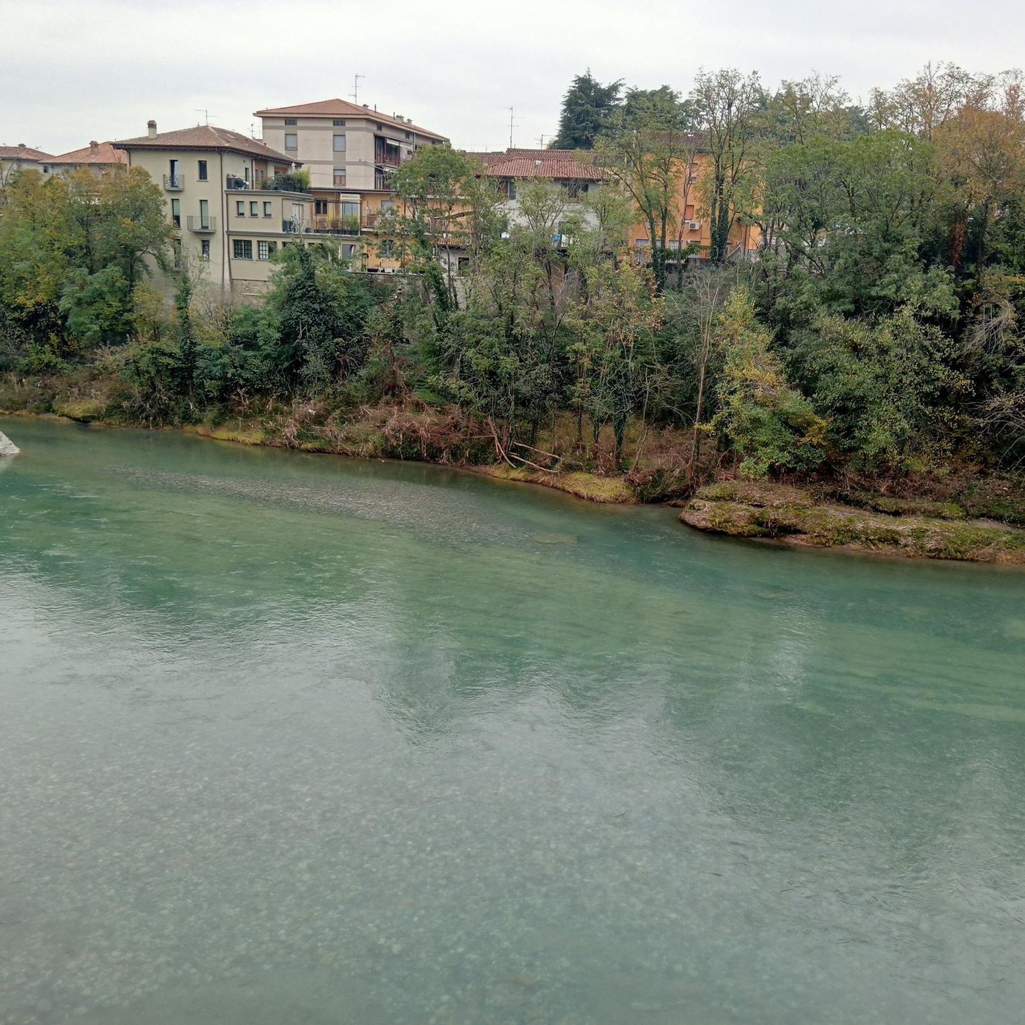
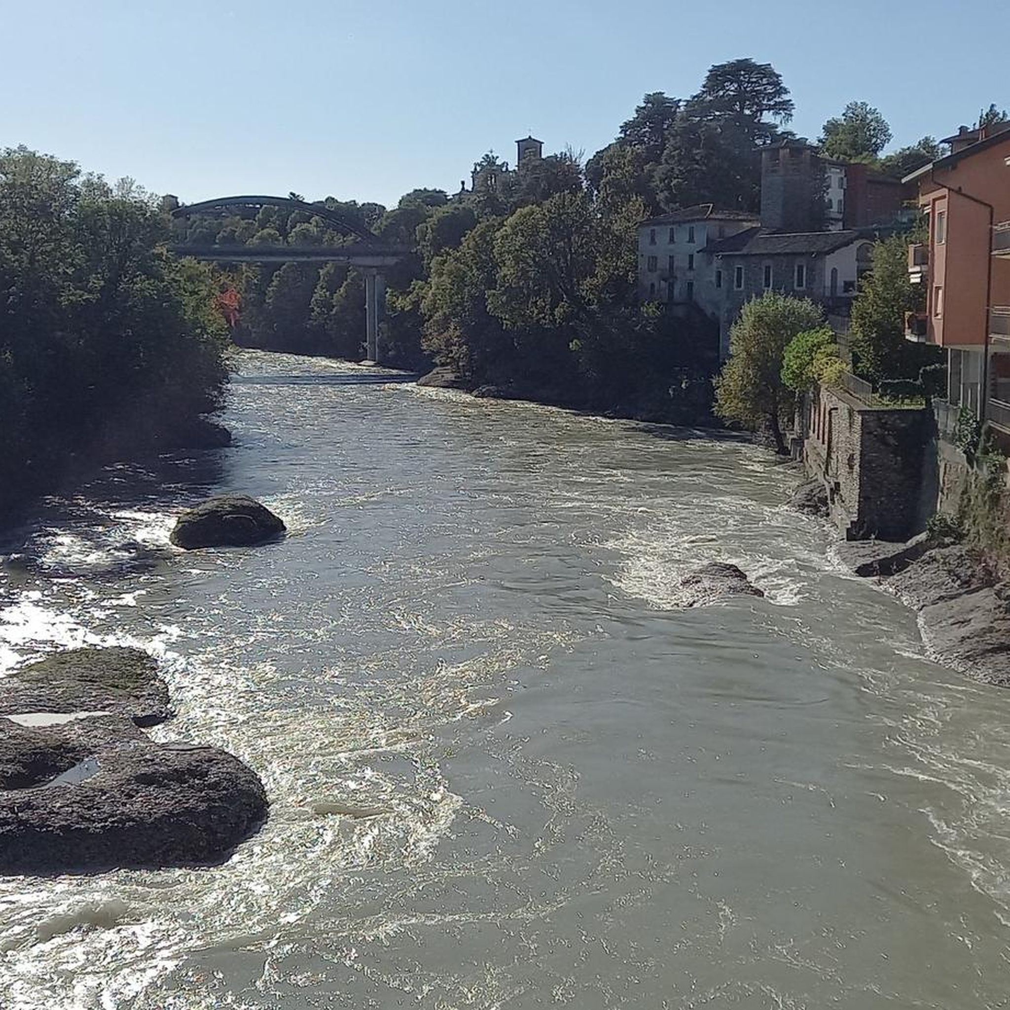
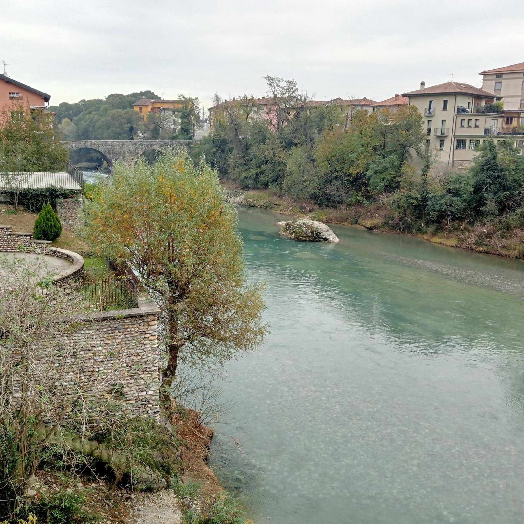

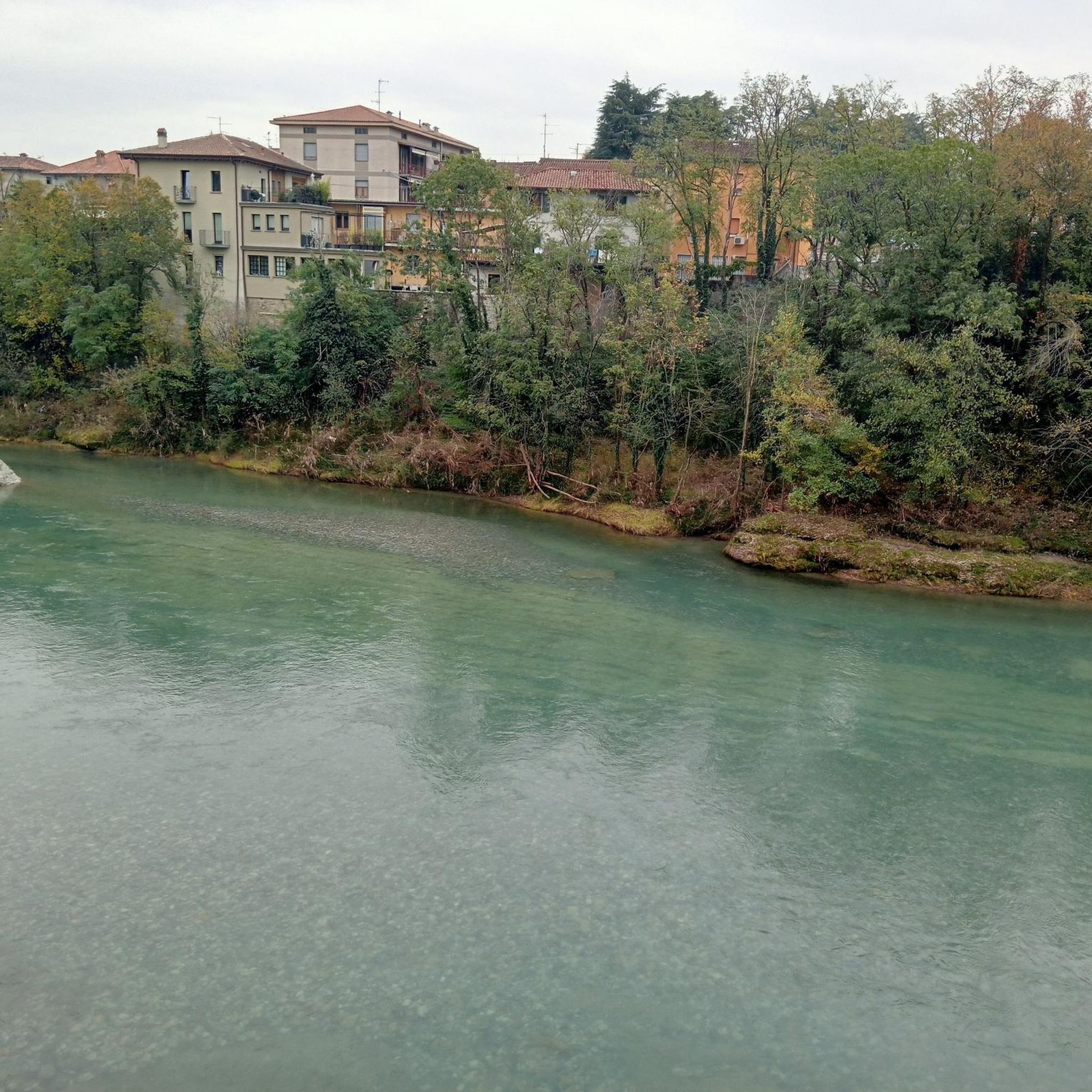
Tips from the Community

nice smooth with many people
0
0

Naviglio della Martesana is perhaps the least known of the ancient artificial canals connecting Milan to the great Lombard rivers. It originates from the Adda in Concesa, a hamlet of Trezzo d’Adda, crosses the Martesana sub-region, northeast of the provincial capital, and once in the city, it plunges underground beneath Via Melchiorre Gioia, at the height of Cassina de’ Pomm. It measures approximately 38 km in length, with a width varying from 9 to 18 meters. However, once upon a time, the Naviglio della Martesana continued in the open air all the way to the center, where a lock system centered on the Conca dell’Incoronata connected it to the short Naviglio di S. Marco and the urban network of the Navigli. The lock was inaugurated in 1496, utilizing lock gates designed by Leonardo da Vinci. The canal had been opened in 1471, under Francesco Sforza. By connecting it to the other Navigli, Leonardo laid the foundations for realizing a dream of the Sforzas: to travel by water from the Ticino, and therefore from Lake Maggiore, all the way to the Adda.
1
0

In Groppello d'Adda, along the Martesana Canal, there is a large waterwheel called "el rudun." It is not a mill, but a noria that was used to raise water for irrigation. It was built in 1618 at the behest of Cardinal Federico Borromeo. It was used to irrigate the vegetable gardens and gardens of the Archbishop's Villa. Tradition attributes the design to Leonardo da Vinci. The water also fed kitchens, washhouses, and livestock watering troughs. The original wheel was dismantled in the late 19th century. The current one is a 1989 reconstruction, restored several times. It has a diameter of 11 meters and eight large blades. Today, it is a historical and educational symbol that tells the story of the area's past.
3
0

Iconic cycleable asphalt ramp leading to the Castle
0
0

The church's current structure is largely the result of 20th-century reconstructions and expansions, although its origins date back to older religious buildings. It is the hub of the town's religious and community life. The building stands out for its modern architectural lines, typical of the reworking of traditional 20th-century styles, and for its imposing bell tower that marks its presence in the urban landscape.
0
0
The Crespi d'Adda Workers' Village is an exceptionally well-preserved historic company town, built starting in 1877 by the Crespi family for the workers of their cotton mill. The town center is considered the finest example of a company town in Southern Europe for its conception of an "ideal city," where workers had all the necessary services, including single-family homes and social facilities. Its uniqueness lies in the fact that the houses are still inhabited. Due to its importance, it was declared a UNESCO World Heritage Site in 1995.
0
0
The Sanctuary and Rock Church of San Vittore Martire is an extraordinary complex spread across three levels, exploiting natural caves. The oldest part is the Hypogeum Rock Church, a cave of early medieval origin known for a 10th-century fresco believed to have served as a refuge. Over this, a more classical-style Upper Church was built. The entire complex is connected by a Holy Staircase.
0
0

Surroundings of Cassano d'Adda
3
0
Frequently Asked Questions
How many touring cycling routes are available around Boltiere?
There are over 300 touring cycling routes in the Boltiere area, offering a wide range of options for different skill levels. More than half of these, around 160, are classified as easy.
Are there family-friendly touring cycling routes in Boltiere?
Yes, Boltiere is well-suited for family cycling due to its flat to gently rolling terrain. Many routes follow dedicated cycle paths or quiet agricultural roads. An excellent option for families is Between Brembate and Crespi d'Adda, which is an easy 4.9-mile route connecting local towns.
What kind of terrain can I expect on touring bike trails in Boltiere?
The terrain around Boltiere is predominantly flat to gently rolling, characteristic of the Lombardy plain. Routes often traverse agricultural areas, connect small towns, and follow the Adda River, resulting in minimal elevation gain and smooth riding surfaces.
What are some easy touring cycling routes for beginners?
Beginners will find many suitable routes. The Osio Sotto Water Tower – Treviolo Cycle Path loop from Osio Sotto is an easy 10.1-mile path that follows a dedicated cycle path. Another good choice is the Osio Sotto Water Tower – Velodrome loop from Osio Sotto, also an easy route covering about 9.4 miles.
Are there any challenging touring cycling routes in the Boltiere area?
While the region is generally flat, there are some routes that offer a bit more distance or slightly more varied terrain. Approximately 38 routes are rated as difficult, often involving longer distances or more frequent, albeit gentle, ascents. For example, the San Michele Bridge over the Adda loop from Osio Sotto is a longer 10.3-mile route with a bit more elevation change.
What can I see along the touring cycling routes around Boltiere?
Many routes offer views of the Adda River and its surrounding landscapes. You can also discover historical sites and natural attractions. For instance, the View of Crespi d'Adda – Villa Crespi (Crespi d'Adda) loop from Osio Sotto leads through riverine landscapes and past historical sites. Nearby attractions include the The Rudun Water Wheel, Groppello d'Adda and the Taccani Hydroelectric Power Plant and Trezzo Castle Tower.
What is the best season for touring cycling in Boltiere?
The most pleasant seasons for touring cycling in Boltiere are spring and autumn, when temperatures are mild and the landscape is vibrant. Summer can be warm, but the flat terrain and river proximity can still make for enjoyable rides. While winter can be colder, many flat routes remain accessible.
Are there any viewpoints or scenic spots along the routes?
Yes, the routes along the Adda River often provide scenic views. The area also features several parks and natural spots. Consider visiting the Salto del Gatto Pond with Swans or the Martin Luther Park at La Trucca for tranquil natural settings.
Is public transport available to access touring cycling routes in Boltiere?
Boltiere and its surrounding towns are generally well-connected by local public transport, including buses and regional trains. Many routes start and end near town centers, making them accessible without a car. It's advisable to check local transport schedules for specific connections to your chosen starting point.
Are dogs allowed on the touring cycling routes?
Generally, dogs are welcome on many of the outdoor paths and trails in the Boltiere area, especially on dedicated cycle paths and quiet country roads. However, it's always best to keep them on a leash, especially in agricultural areas or near livestock, and to be mindful of other cyclists and pedestrians.
Where can I find parking for touring cycling routes in Boltiere?
Parking is typically available in the town centers of Boltiere and nearby villages like Osio Sotto or Brembate. Look for public parking areas, often near train stations or local amenities, which provide convenient access to the start of many touring cycling routes.
What do other touring cyclists enjoy most about cycling in Boltiere?
The touring cycling routes around Boltiere are highly rated by the komoot community, with an average score of 4.2 stars from over 800 reviews. Cyclists often praise the region's accessible, flat paths, the peaceful agricultural scenery, and the pleasant rides along the Adda River, making it ideal for relaxed exploration.
Most popular attractions around Boltiere

Get inspired with the komoot mobile app


Explore more
Browse the best Cycling routes in other regions.
