The best cycling routes around Altissimo
4.4
(506)
6,631
riders
221
rides
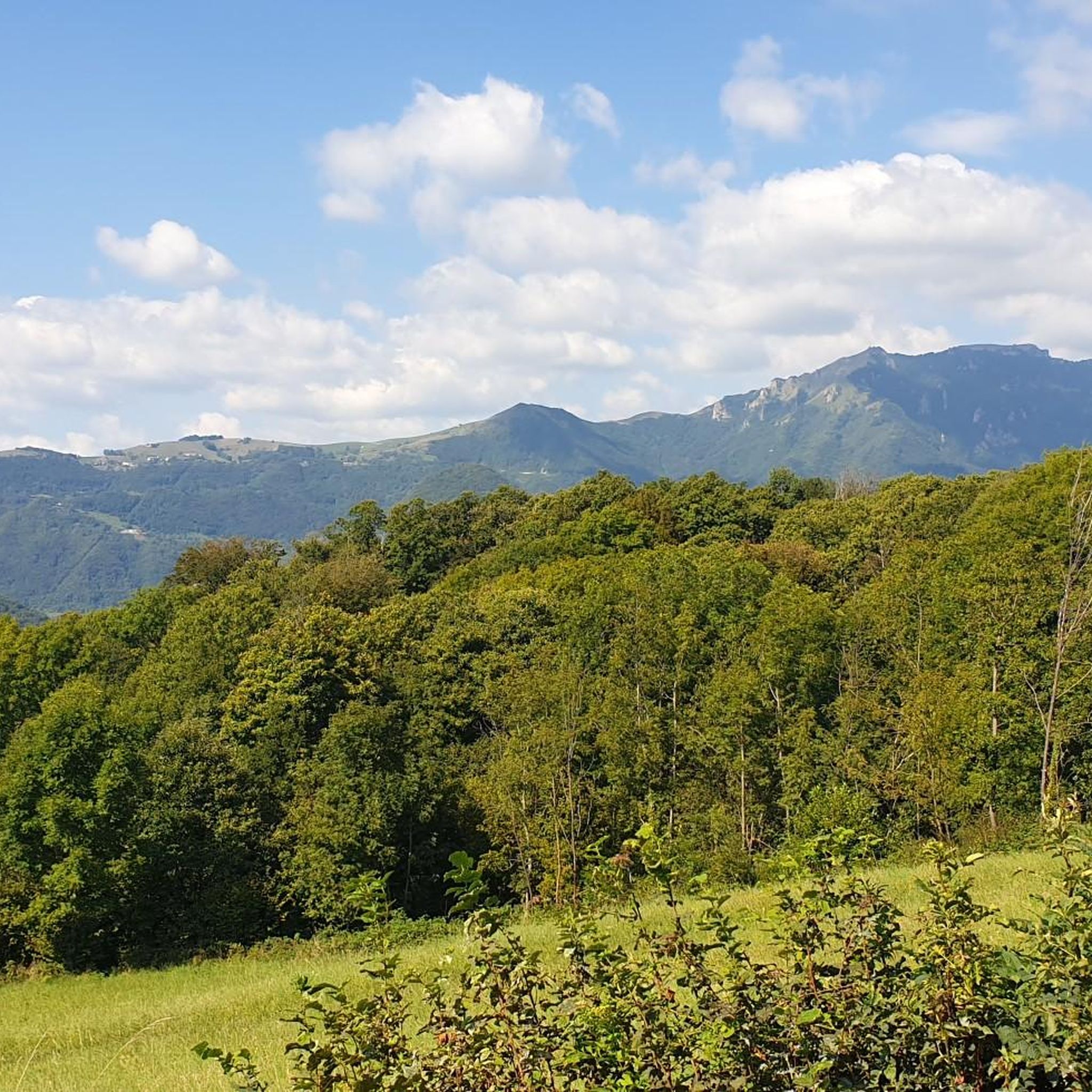
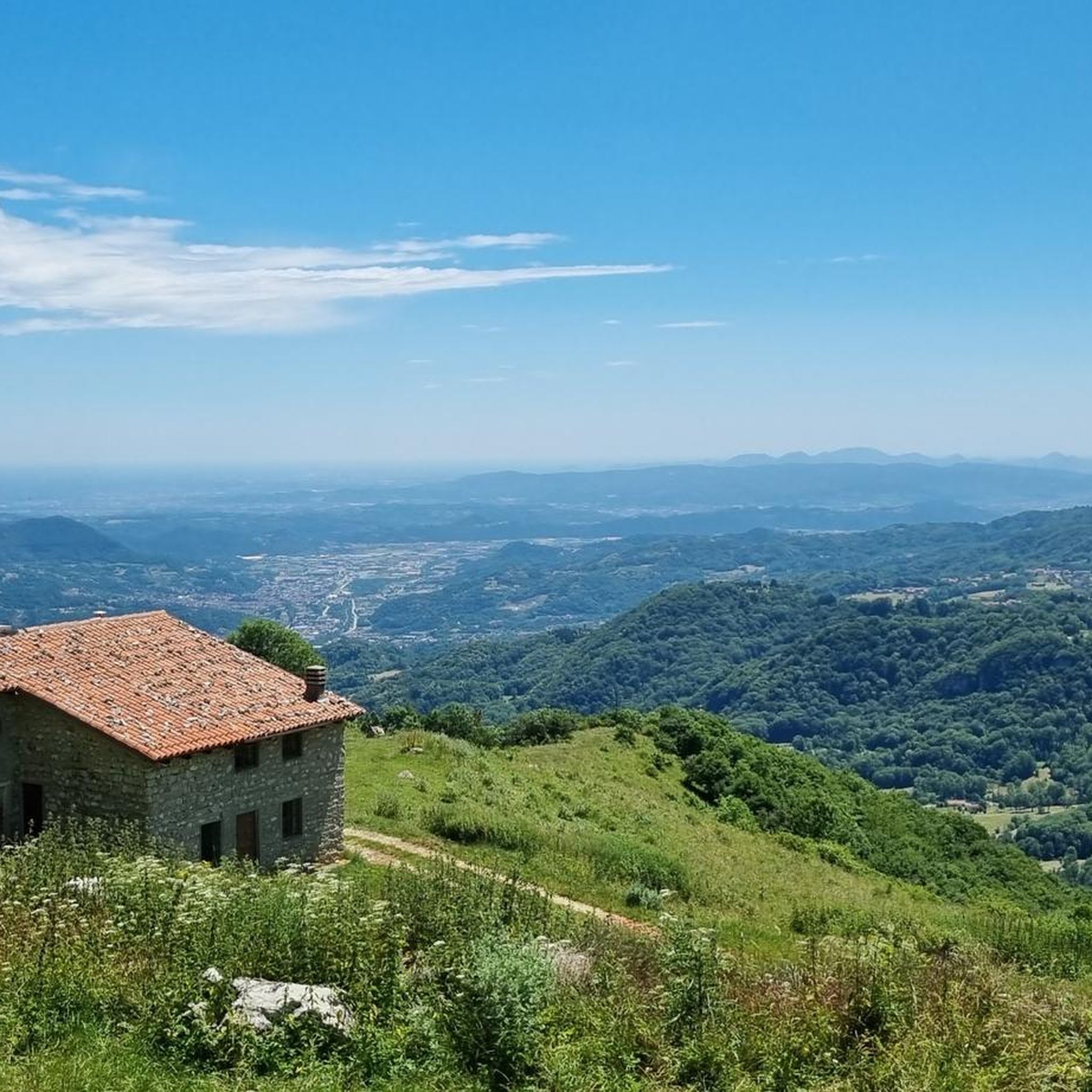
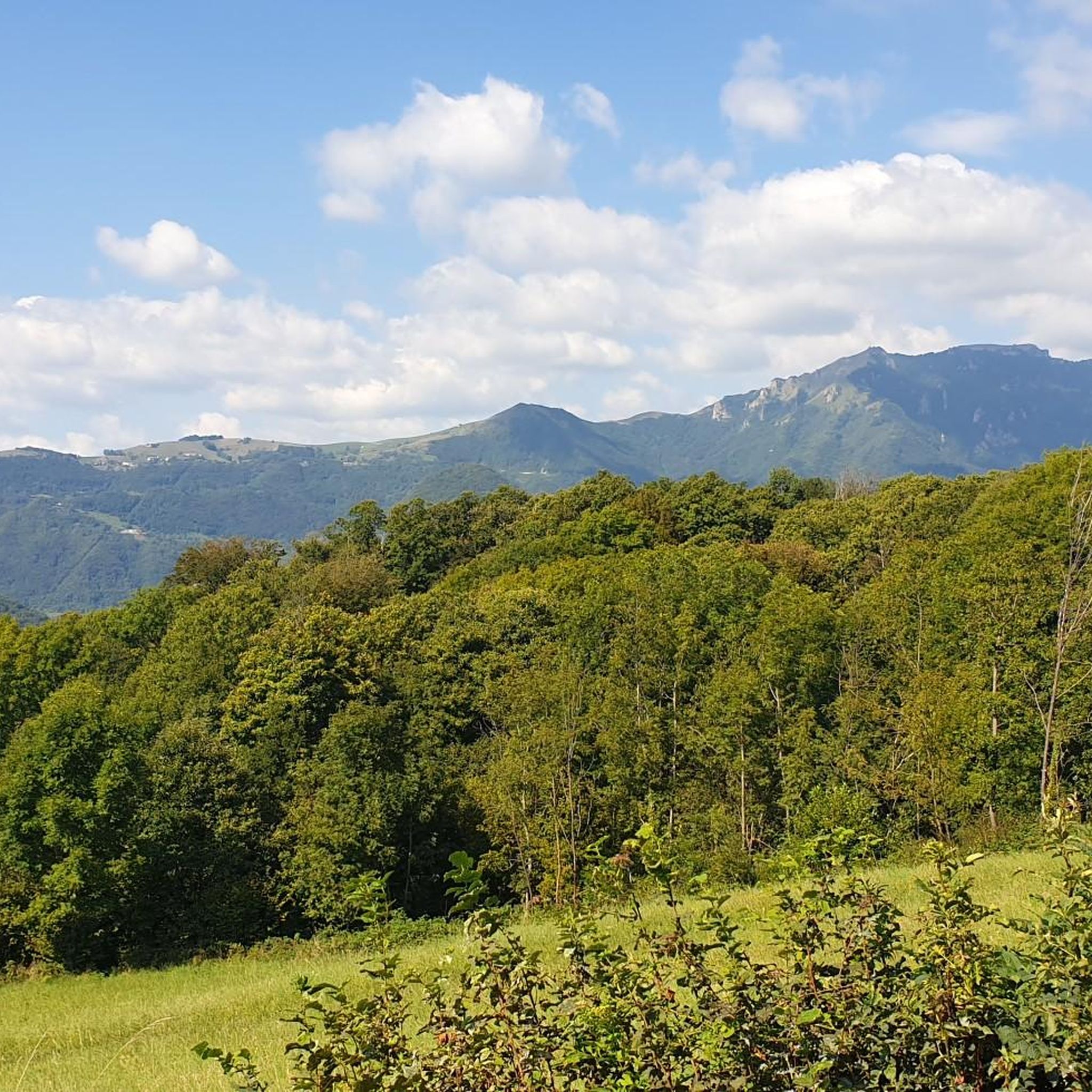
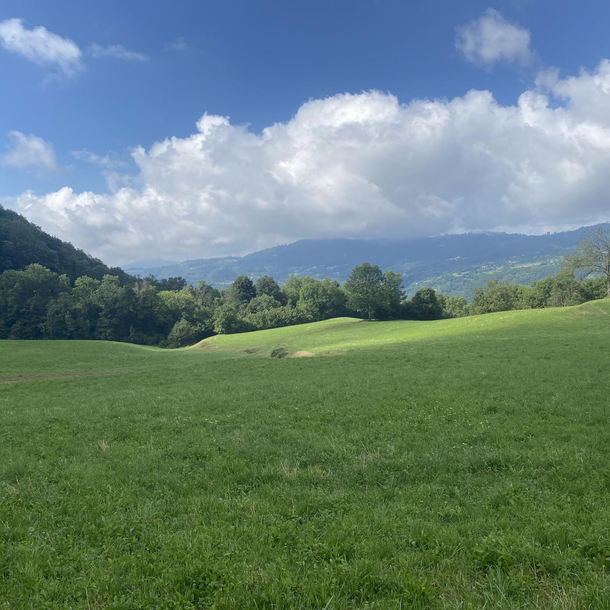
Touring cycling routes around Altissimo are situated within the Monte Baldo mountain range in northern Italy, offering diverse terrain and significant elevation changes. The region is characterized by panoramic views of Lake Garda, extending across the Gardesane Prealps and the Brenta Dolomites. Routes feature a mix of asphalt roads, forest tracks, and natural trails, providing varied experiences for cyclists. Monte Altissimo itself reaches an elevation of 6,818 feet (2,078 meters), contributing to challenging and rewarding cycling opportunities.
Best touring cycling…
Last updated: August 29, 2026
5.0
(4)
65
riders
40.1km
03:42
1,300m
1,300m
Hard bike ride. Very good fitness required. You may need to push your bike for some segments of this route.
4.2
(5)
53
riders
47.8km
04:10
1,710m
1,710m
Hard bike ride. Very good fitness required. Mostly paved surfaces. Suitable for all skill levels.

Sign up for free
3.0
(1)
34
riders
39.0km
03:25
1,190m
1,190m
Hard bike ride. Very good fitness required. Mostly paved surfaces. Suitable for all skill levels.
5.0
(1)
25
riders
27.2km
02:18
780m
780m
Hard bike ride. Very good fitness required. Mostly paved surfaces. Suitable for all skill levels.
19
riders
23.0km
01:48
650m
660m
Hard bike ride. Very good fitness required. Mostly paved surfaces. Suitable for all skill levels.
Get access to more routes and recommendations from other explorers.
Sign up for free
Already have an account?
Our route recommendations are based on thousands of hikes, rides, and runs completed by other people on komoot.
Start today with a free account
Your next adventure awaits.
Login or Signup

Tips from the Community

The photo shows the via ferrata, not the path below the refuge. It's misleading.
0
0

great panoramic view in good weather
0
0


But is the photo of the via ferrata along the path to get to the Bertagnoli refuge coming from the Battisti refuge or is it a via ferrata near the refuge ("optional")?
0
0

Very kind and excellent desserts
0
0
The Flat road closed to traffic at set times
2
0
Beautiful village surrounded by beautiful mountains
0
0
Charging point and last water supply point
1
0
Frequently Asked Questions
How many touring cycling routes are available in Altissimo?
There are over 200 touring cycling routes around Altissimo, offering a wide range of experiences. You'll find options for various skill levels, from moderate to difficult, with the majority being challenging rides.
What kind of terrain will I encounter on touring cycling routes in Altissimo?
The routes around Altissimo feature diverse terrain, including a mix of asphalt roads, forest tracks, and natural trails. This variety contributes to both the challenge and scenic appeal of the area, providing a rewarding experience for cyclists.
Are there any easy touring cycling routes for beginners in Altissimo?
While many routes in Altissimo are considered difficult, there are a few easier options available. Approximately 8 routes are rated as easy, making them suitable for beginners or those looking for a more relaxed ride.
What are some popular circular touring cycling routes in Altissimo?
Many routes in Altissimo are designed as loops, offering a complete journey back to your starting point. A popular choice is the Church of Santa Caterina – Ferrazza loop from Cerealto, a challenging 29.7-mile (47.8 km) route with significant elevation gain and expansive views. Another favorite is the Ferrazza – Campodalbero loop from Crespadoro, which traverses varied terrain over 24.1 miles (38.9 km).
What are the best times of year to go touring cycling in Altissimo?
The best time to cycle Monte Altissimo is generally from April to November. During these months, the weather is typically favorable for outdoor activities, allowing you to enjoy the panoramic views and diverse terrain without extreme conditions.
What kind of views and natural features can I expect along the cycling routes?
Touring cycling around Altissimo is renowned for its breathtaking panoramic views of Lake Garda, stretching from north to south. You'll also experience the diverse landscapes of the Monte Baldo mountain range, including forests, meadows, and rocky sections. On clear days, the vista can encompass the entire lake, the Gardesane Prealps, and even the Brenta Dolomites.
Are there any interesting landmarks or attractions to see along the routes?
Yes, the area offers several points of interest. You can explore various mountain passes like Camonda Pass or Xon Pass. For those interested in natural beauty, there are also several waterfalls, including Papalini Waterfall and Sette Fontane Waterfall. The summit of Altissimo itself features Rifugio Damiano Chiesa and historical World War I installations.
What do other touring cyclists say about the routes in Altissimo?
The touring cycling routes in Altissimo are highly rated by the komoot community, with an average score of 4.4 stars from over 400 reviews. Cyclists often praise the challenging climbs, the rewarding panoramic views of Lake Garda, and the varied terrain that makes each ride unique.
Are there any routes that include historical sites?
Yes, some routes pass through areas with historical significance. For example, the Chapel of 1944 – Church of Peace of Alvese loop from San Pietro Mussolino is a 16.9-mile (27.2 km) trail that leads through such areas. Additionally, the summit of Monte Altissimo itself has leftover military installations from World War I and a chapel dedicated to war victims.
Can I find places to eat or stay near the cycling routes?
Yes, towns like Torbole, Nago, and Riva del Garda, located near the base of Monte Altissimo and Lake Garda, offer various cafes, pubs, and accommodation options suitable for cyclists. At the summit of Altissimo, Rifugio Damiano Chiesa provides a resting point and refreshments.
Is there public transport available to access the cycling routes?
While specific public transport options directly to trailheads can vary, the towns around Lake Garda, such as Torbole and Riva del Garda, are well-connected by bus services. Some services may accommodate bicycles, but it's advisable to check local schedules and regulations beforehand.
Where can I find parking for my car when cycling in Altissimo?
Parking for cyclists is generally available in the towns surrounding Monte Altissimo, such as Torbole, Nago, and Riva del Garda. These towns serve as common starting points for many routes, and you'll find designated parking areas, though availability might vary during peak seasons.
Most popular routes around Altissimo
Most popular attractions around Altissimo

Get inspired with the komoot mobile app


Explore more
Browse the best Cycling routes in other regions.
