The best walks and hikes around Rohrbach-Berg
4.6
(2687)
16,042
hikers
109
hikes
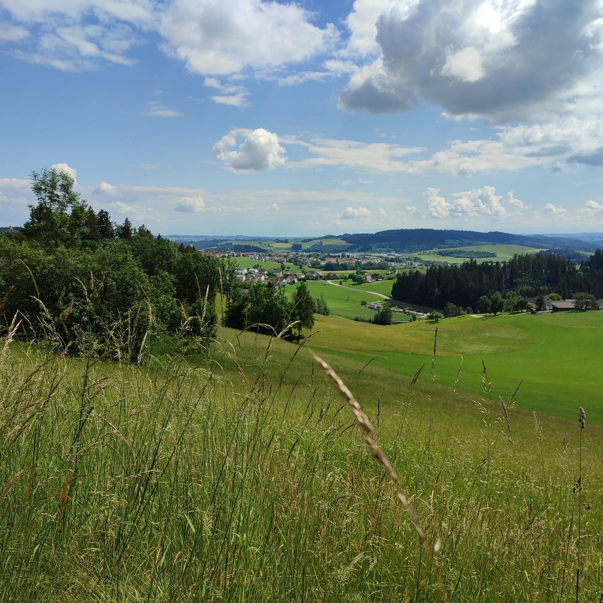
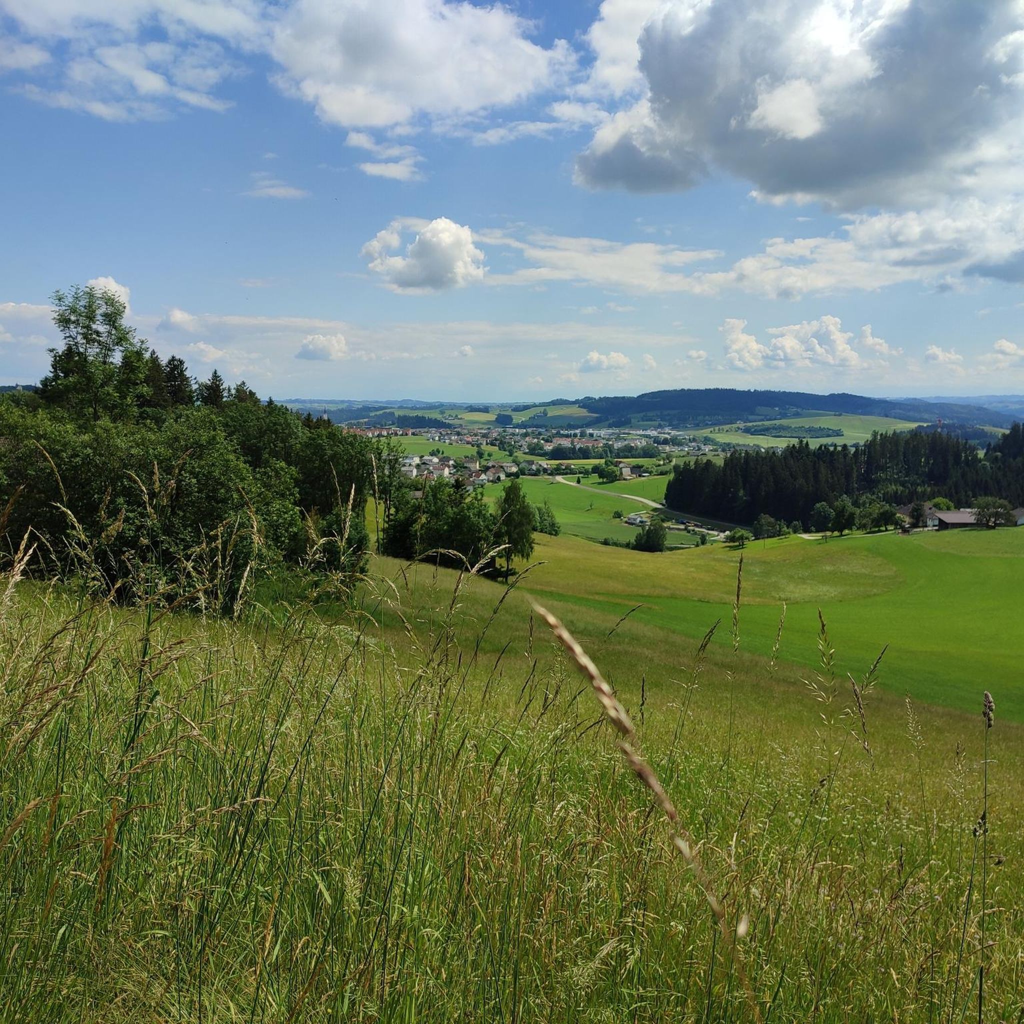
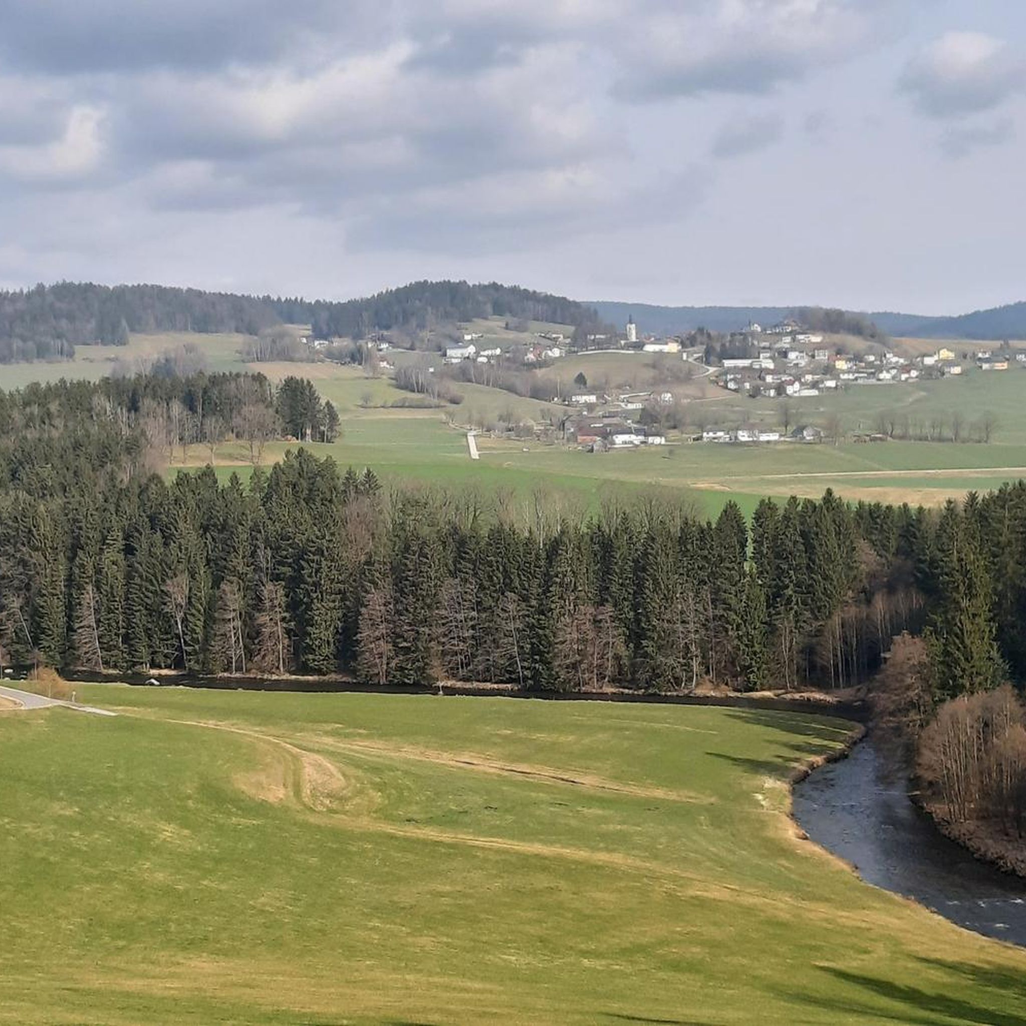
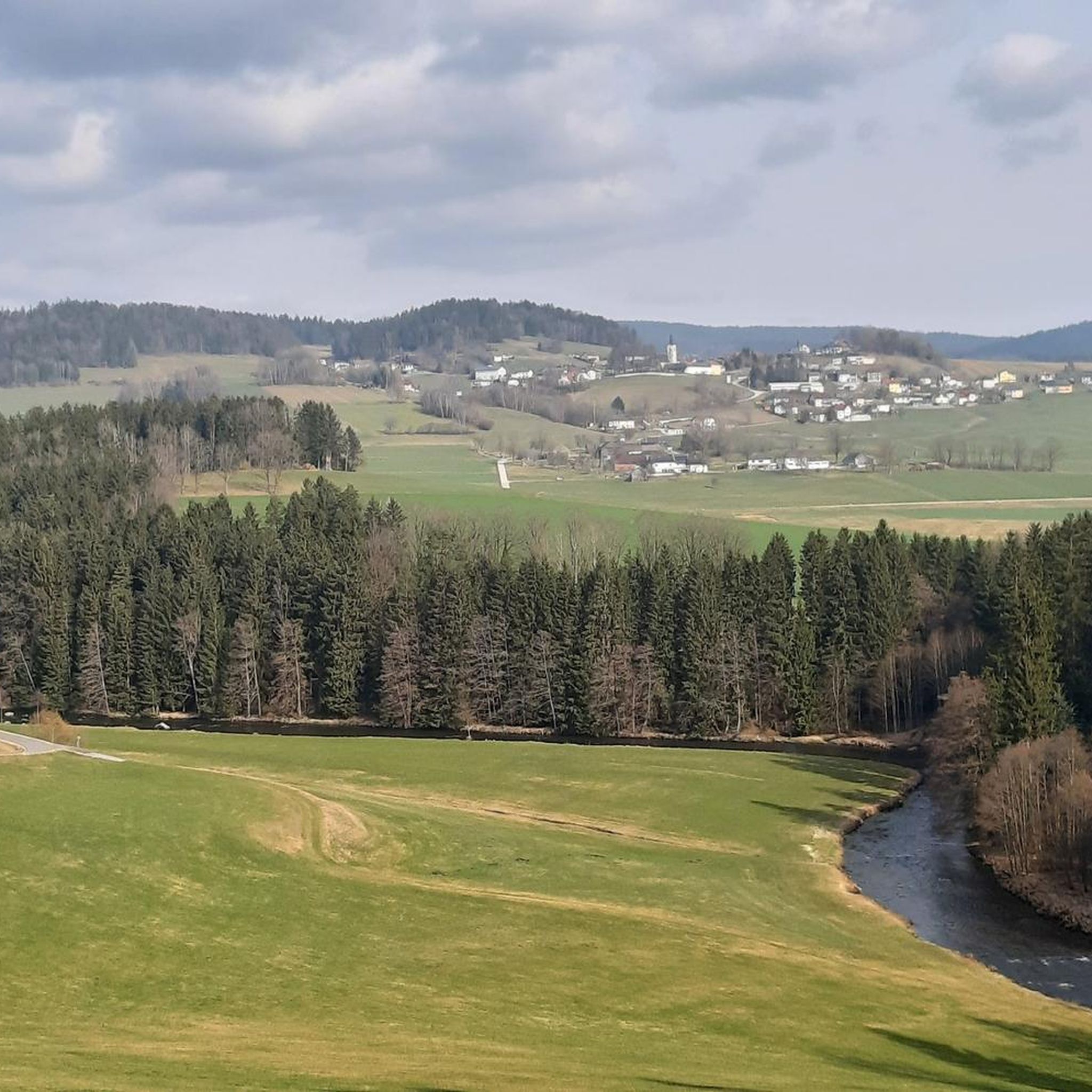
Hiking around Rohrbach-Berg offers a network of trails through varied landscapes. The region features a mix of forested areas, gentle hills, and paths alongside streams like the Große Mühl. Elevated sections provide views over the surrounding countryside. These physical characteristics contribute to a diverse range of hiking experiences.
Best hiking trails around Rohrbach-Berg
- The most popular hiking route is Fire Pit and Picnic Area – Holzmühle loop from Bezirk Rohrbach, a 4.0 miles (6.5 km) trail that takes 1…
Last updated: October 27, 2026
4.5
(17)
157
hikers
6.47km
01:48
120m
120m
Easy hike. Easily walkable paths.
4.9
(18)
60
hikers
28.6km
08:01
550m
550m
Hard hike. Very good fitness required. Easily walkable paths.

5.0
(10)
77
hikers
9.63km
02:46
240m
240m
Moderate hike. Good fitness required. Easily walkable paths.
4.8
(5)
50
hikers
6.22km
01:43
110m
110m
Easy hike. Easily walkable paths.
4.6
(7)
46
hikers
9.46km
02:41
210m
210m
Moderate hike. Good fitness required. Easily walkable paths.
Get access to more routes and recommendations from other explorers.
Already have an account?
Our route recommendations are based on thousands of hikes, rides, and runs completed by other people on komoot.
Start today with a free account
Your next adventure awaits.
Tips from the Community

The figures outside the building are also works of art that you can admire at any time.
0
0

Very nice section of the flood channel!
0
0
Good idea for a sculpture.
0
0
Beautiful old boundary stone with a detailed information board.
0
0
Probably one of the most beautiful sections on the Schwarzenbergischen Schwemmkanal.
0
0
Great motor skills park. Fountain, toilet, resting bench: everything is there.
0
0

A hike of approximately 1 1/2 hours; hiking boots are required.
0
0

Imperial and Royal Land of Upper Austria, Year 1788
0
0
Frequently Asked Questions
How many hiking trails are available in Rohrbach-Berg, and what are their difficulty levels?
Rohrbach-Berg offers a wide selection of hiking trails, with over 110 routes available. These are well-balanced across difficulty levels, including 56 easy, 56 moderate, and 4 challenging routes, ensuring options for every hiker.
Are there family-friendly hiking options around Rohrbach-Berg?
Yes, Rohrbach-Berg has several family-friendly trails. An excellent choice is the Fire Pit and Picnic Area – Holzmühle loop from Bezirk Rohrbach. This easy 4-mile (6.5 km) loop features a designated fire pit and picnic area, perfect for a family outing.
Can I bring my dog on hikes in Rohrbach-Berg?
Generally, dogs are welcome on hiking trails in Rohrbach-Berg. It's always recommended to keep your dog on a leash, especially in forested areas or near wildlife, and to carry waste bags to clean up after them. Please respect local signage regarding dog access.
Are there circular hiking routes in Rohrbach-Berg?
Many of the trails in Rohrbach-Berg are designed as circular routes, allowing you to start and end at the same point. Examples include the Rest area – Leitner Chapel loop from Bezirk Rohrbach and the Chapel on Höhenweg – Plague Column of 1679 loop from Rohrbach-Berg, offering varied scenery.
Which trails offer the best viewpoints or scenic spots?
The region features elevated sections that provide views over the surrounding countryside. For panoramic vistas, consider trails that pass by highlights such as the Ameisberg Tower or the Cooling stone, both offering excellent vantage points.
Are there any challenging hikes for experienced hikers?
While most trails are easy to moderate, Rohrbach-Berg does offer some challenging options. For a more demanding experience, the Stift Schlägl loop from Reith is a difficult 17.9-mile (28.7 km) route with significant elevation gain, suitable for experienced hikers.
What historical or cultural points of interest can I find on the trails?
Hiking trails in Rohrbach-Berg often lead past historical and cultural landmarks. You can explore sites like the Plague Column of 1679 or the tranquil Leitner Chapel. The area also features the impressive Stift Schlägl, a historic abbey.
Are there hiking trails with rest stops or places to eat?
Yes, some trails incorporate convenient rest stops. The Rest area – Leitner Chapel loop from Bezirk Rohrbach is named for a rest area along its path. Additionally, the Fire Pit and Picnic Area – Holzmühle loop provides a dedicated spot for breaks and meals.
What do other hikers enjoy most about hiking in Rohrbach-Berg?
The hiking experience in Rohrbach-Berg is highly rated by the komoot community, with an average score of 4.5 stars from over 140 reviews. Hikers frequently praise the diverse landscapes, including forested hills and stream valleys, as well as the well-maintained network of trails suitable for various ability levels.
Are there options for longer distance hikes in the region?
For those seeking longer excursions, Rohrbach-Berg offers routes that extend beyond a few hours. The Stift Schlägl loop from Reith is a substantial 17.9-mile (28.7 km) trail, providing a full day's adventure through varied terrain.
What kind of terrain can I expect on the hiking trails?
The terrain around Rohrbach-Berg is quite varied, characterized by forested areas, gentle rolling hills, and paths that follow streams like the Große Mühl. You'll encounter a mix of natural surfaces, with some elevated sections offering broader views.
Is public transport available to access hiking trails in Rohrbach-Berg?
While specific public transport connections to every trailhead can vary, Rohrbach-Berg is generally accessible by regional bus services. It's advisable to check local bus schedules and routes in advance to plan your journey to the starting points of your chosen hikes.
Most popular routes around Rohrbach-Berg
Most popular attractions around Rohrbach-Berg

Get inspired with the komoot mobile app


Explore more
Browse the best Hikes in other regions.
