The best walks and hikes around Roklum
4.7
(2109)
7,544
hikers
254
hikes
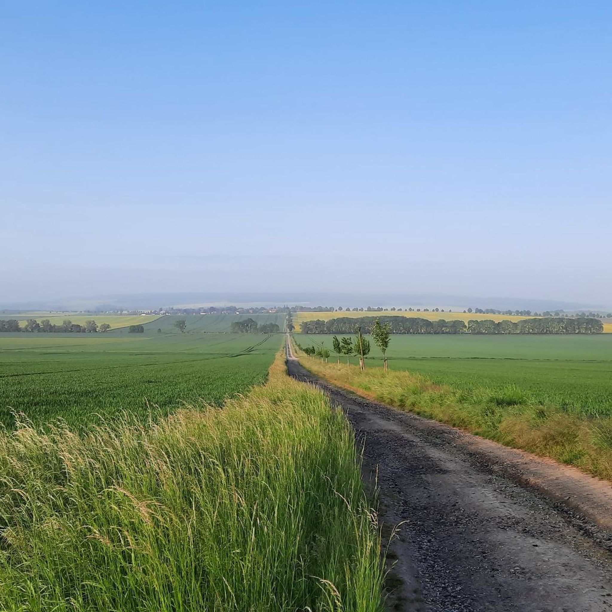
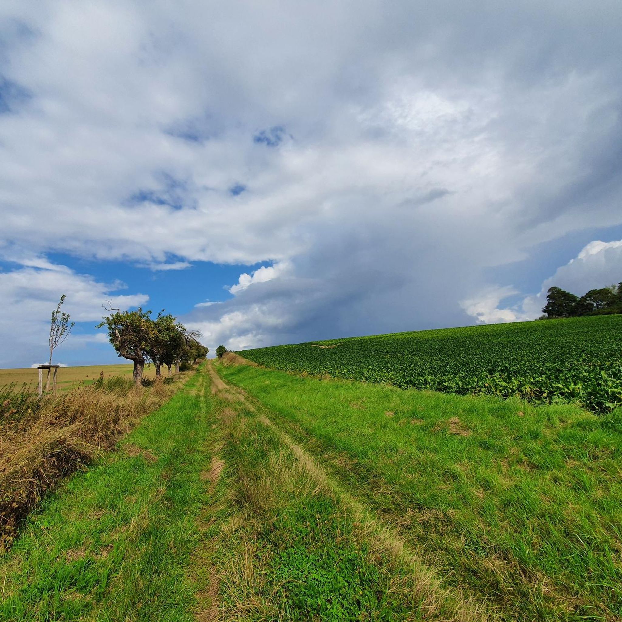
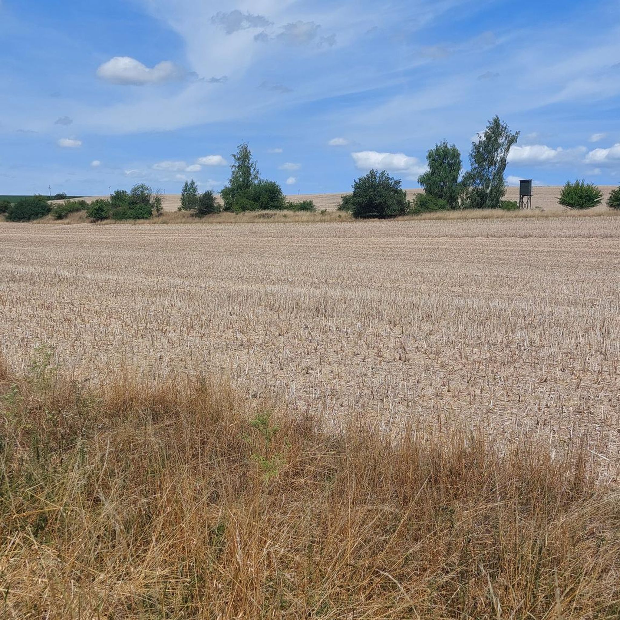
Hiking around Roklum, a village in Lower Saxony, Germany, features a landscape of open fields and wooded areas, typical of the region. The terrain includes accessible paths connecting to neighboring villages and natural features like the Tiefenbach Stream and the Schöppenstedter Teiche Nature Reserve. On clear days, views of the distant Harz mountains may be visible from elevated points like Heeseberg. The area also incorporates historical sites related to the former inner-German border, adding cultural interest to the trails.
Best…
Last updated: June 26, 2026
5.0
(3)
7
hikers
7.16km
01:50
20m
20m
Easy hike. Great for any fitness level. Easily-accessible paths. Suitable for all skill levels.
4.3
(3)
9
hikers
Moderate hike. Good fitness required. Easily-accessible paths. Suitable for all skill levels.

Sign up for free
5.0
(2)
8
hikers
6.32km
01:45
110m
110m
Easy hike. Great for any fitness level. Easily-accessible paths. Suitable for all skill levels.
4.7
(3)
10
hikers
6.37km
01:39
40m
40m
Easy hike. Great for any fitness level. Easily-accessible paths. Suitable for all skill levels.
4.7
(3)
9
hikers
6.23km
01:36
30m
30m
Easy hike. Great for any fitness level. Easily-accessible paths. Suitable for all skill levels.
Get access to more routes and recommendations from other explorers.
Sign up for free
Already have an account?
Our route recommendations are based on thousands of hikes, rides, and runs completed by other people on komoot.
Start today with a free account
Your next adventure awaits.
Login or Signup
Tips from the Community

Here you can find delicious homemade cakes and a few organic products are also available for purchase in the café.
1
0

Display cases for community and club notices have been set up here. The building next door looks like a very old fire station.
1
0
Here, a staircase leads to the old Brunswick-Schöningen railway. The old railway embankment is now a beautiful sunken lane, and only a few gravel stones along the edge remind us of its former use.
1
0
The church was rebuilt in 1855, retaining the Romanesque tower.
1
0
Here at the insect hotel there is also a sample map and a bench for a break.
1
0
This small cafe is open during the summer months.
6
0
There is also a small parking lot here, you can drive right up.
1
0
Frequently Asked Questions
How many hiking trails are available around Roklum?
There are over 240 hiking routes around Roklum, offering a wide variety of options for different preferences and fitness levels. These include 171 easy routes, 72 moderate routes, and a few more challenging trails.
What kind of terrain can I expect on hikes around Roklum?
The terrain around Roklum is characterized by accessible paths through open fields and wooded areas, typical of the Lower Saxony region. While generally gentle, some routes may feature slight elevation changes. For example, the Mattierzoll Border Museum – Willow Alley on the Green Belt loop from Winnigstedt has an elevation gain of about 60 meters.
Are there any family-friendly hiking trails in the Roklum area?
Yes, many trails around Roklum are suitable for families. The area offers numerous easy routes, perfect for all fitness levels. An example is the Mattierzoll – Mattierzoll Border Museum loop from Winnigstedt, which is an easy 7.2 km trail that takes about 1 hour 50 minutes to complete.
What natural features or landmarks can I see along the hiking trails?
Hikers can enjoy a mix of natural and historical features. You might encounter the Tiefenbach Stream in Winnigstedt or the Schöppenstedter Teiche Bird Sanctuary. On clear days, you can even catch a distant view of the Harz mountains from elevated points like Heeseberg. The area also features historical sites related to the former inner-German border, such as the Grenzmuseum Mattierzoll.
Are there any circular hiking routes available?
Yes, many of the hiking routes around Roklum are circular, allowing you to start and end at the same point. For instance, the Café Nettle – Shelter and Picnic Area loop from Veltheim is a popular 6.3 km circular trail.
Is parking available at the trailheads?
While specific parking details for every trailhead are not available, Roklum and its surrounding villages are generally accessible, and parking is typically available near popular starting points or local amenities. It's advisable to check local signage upon arrival.
What do other hikers enjoy most about the trails in Roklum?
The hiking routes in Roklum are highly rated by the komoot community, with an average score of 4.7 stars from over 2000 reviews. Hikers often praise the accessible paths, the blend of natural scenery with historical sites, and the variety of options for different fitness levels.
Are dogs allowed on the hiking trails around Roklum?
Generally, dogs are welcome on hiking trails in the Roklum area. However, it's always recommended to keep your dog on a leash, especially in nature reserves like the Schöppenstedter Teiche Bird Sanctuary, and to be mindful of local regulations and other hikers.
Are there any cafes or places to eat near the hiking routes?
Yes, the region offers options for refreshments. For example, the Café Nettle – Shelter and Picnic Area loop from Veltheim specifically mentions a café in its name, suggesting places to stop for a break. You can find local cafes and pubs in Roklum and neighboring villages like Winnigstedt and Veltheim.
What is the best time of year to go hiking in Roklum?
Roklum offers pleasant hiking conditions throughout much of the year. Spring and autumn provide comfortable temperatures and beautiful scenery. Summer is also suitable, though it can be warmer. Winter hiking is possible, but trails might be muddy or icy depending on conditions.
Are there any easy routes for beginners or those looking for a relaxed walk?
Absolutely. Over 170 of the routes around Roklum are classified as easy. A great option for beginners or a relaxed walk is the Large Insect Hotel loop from Winnigstedt, an easy 6.2 km trail.
Can I reach the hiking trails using public transport?
Roklum is a village in Lower Saxony, Germany, and while local bus services connect it to larger towns, direct public transport access to specific trailheads might vary. It's advisable to check local bus schedules and routes to plan your journey to the starting points of your chosen hikes.
Most popular attractions around Roklum

Get inspired with the komoot mobile app


Explore more
Browse the best Hikes in other regions.
