The best mountain hikes around Fuipiano Valle Imagna
4.6
(34)
298
hikers
8
hikes
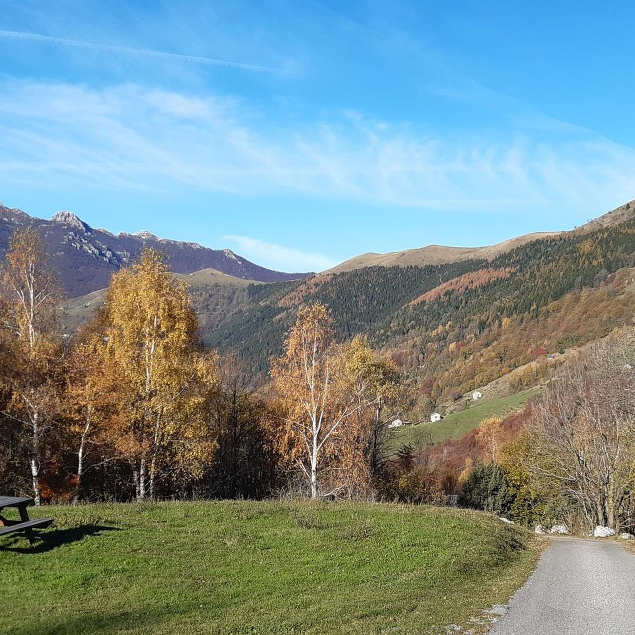
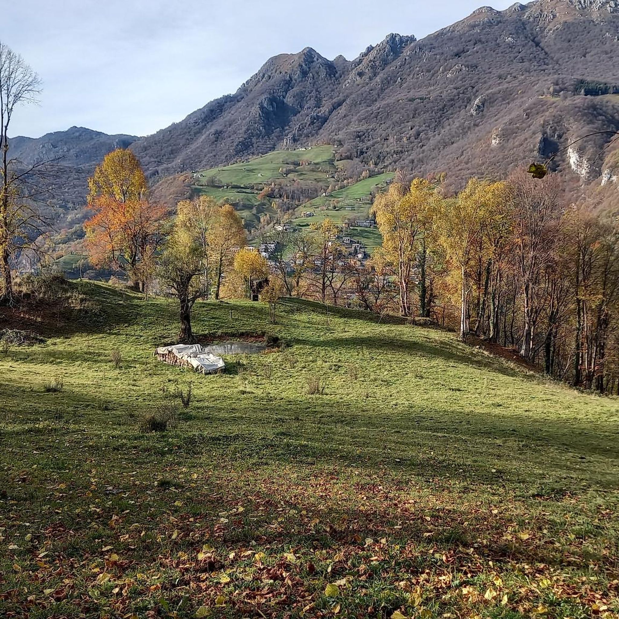
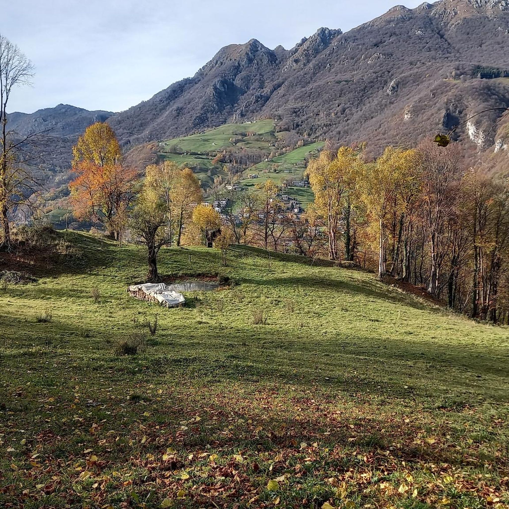
Mountaineering routes around Fuipiano Valle Imagna traverse the diverse landscapes of the Bergamasque Prealps in Lombardy, Italy. The region is characterized by the scenic Imagna Valley, featuring majestic mountains and lush valleys. A prominent landmark for mountaineers is Monte Resegone, known for its eleven jagged summits and dolomite stones, reaching an elevation of 1,875 meters (6,152 ft). The area offers a range of challenging ascents and technical routes.
Best mountaineering routes around Fuipiano Valle Imagna
- The most popular mountaineering route…
Last updated: August 28, 2026
4.5
(8)
70
hikers
12.2km
08:04
1,280m
1,280m
Hard mountaineering route. Very good fitness required. Sure-footedness, sturdy shoes and alpine experience required.
5.0
(2)
21
hikers
Hard mountaineering route. Very good fitness required. Sure-footedness, sturdy shoes and alpine experience required.

Sign up for free
5.0
(5)
20
hikers
6.17km
03:12
420m
420m
Hard mountaineering route. Good fitness required. Sure-footedness, sturdy shoes and alpine experience required.
4.7
(3)
11
hikers
5.04km
04:41
660m
660m
Hard mountaineering route. Good fitness required. Sure-footedness, sturdy shoes and alpine experience required.
4.0
(1)
7
hikers
3.30km
02:42
410m
410m
Hard mountaineering route. Good fitness required. Sure-footedness, sturdy shoes and alpine experience required.
Get access to more routes and recommendations from other explorers.
Sign up for free
Already have an account?
Our route recommendations are based on thousands of hikes, rides, and runs completed by other people on komoot.
Start today with a free account
Your next adventure awaits.
Login or Signup

Tips from the Community

For the fittest
0
0

one of the most beautiful views of the lake and Lecco!
0
0

Spectacular view towards the tip of Lake Lecco, Grigna and Resegone
0
0

A crossroads for many Resegone routes. Very famous for being the reference point for the centenary via ferrata.
0
0

Watch out for ticks... last year's experience
0
0

The via ferrata and path are currently completely closed!!
0
0

Great get together, always lots of friends!
1
0

Frequently Asked Questions
How many mountaineering routes are available in Fuipiano Valle Imagna?
There are over 10 mountaineering routes around Fuipiano Valle Imagna, offering diverse experiences in the Bergamasque Prealps. Most of these, specifically 10, are rated as difficult, with 2 routes considered moderate.
What natural landmarks or viewpoints can I expect to see on mountaineering routes?
Mountaineering routes in Fuipiano Valle Imagna often provide stunning panoramic views. You can expect to see the majestic Monte Resegone, known as 'the roof of Valle Imagna,' and vistas of the Orobie Prealps, the Lombardy plain, and even Lake Lecco on clear days. The area is also rich in lush beech forests, such as those surrounding the ancient Tre Faggi (Three Beeches).
Are there any unique attractions near the mountaineering trails?
Yes, the region boasts several unique attractions. The Sanctuary of Cornabusa is a notable highlight, a shrine to the Virgin Mary located within a natural cave. The area is also known for its numerous caves, including the Passata Mines and Carlotta's Hole, earning it the title 'queen of the Bergamo caves.' You might also encounter the Waterfall at the Source of the Enna.
What is the general difficulty level of mountaineering routes in Fuipiano Valle Imagna?
The mountaineering routes in Fuipiano Valle Imagna are primarily challenging. Out of 12 available routes, 10 are rated as difficult, involving significant elevation gain and technical sections. There are also 2 moderate routes for those seeking a slightly less strenuous experience.
Are there any circular mountaineering routes in the area?
Yes, many of the mountaineering routes in Fuipiano Valle Imagna are circular. For example, the difficult Crest Trail on Monte Due Mani – Mount Two Hands Ridge loop from Piani d'Erna offers a rewarding circuit through the pre-alpine environment.
What do other mountaineers say about the routes in Fuipiano Valle Imagna?
The mountaineering routes in Fuipiano Valle Imagna are highly rated by the komoot community, with an average score of 4.5 stars from over 28 reviews. Mountaineers often praise the jagged mountain summits, deep valleys, and ancient beech trees that define the challenging ascents and panoramic views.
What are the typical durations for mountaineering routes here?
The duration of mountaineering routes varies depending on the specific trail and your pace. For instance, the difficult View From Resegone – Pian Serada Spring loop from Piani d'Erna typically takes around 3 hours and 12 minutes to complete, covering about 6.1 kilometers.
Is Fuipiano Valle Imagna suitable for family-friendly mountaineering?
While many routes are challenging, some paths are more accessible. The excursion to the Tre Faggi, for example, is suitable for families, leading through vast beech forests and opening up to pastures with views of Resegone and Valle Imagna. However, most mountaineering routes here are rated difficult.
What is the best time of year for mountaineering in Fuipiano Valle Imagna?
The best time for mountaineering in Fuipiano Valle Imagna is generally from spring through autumn when the weather is more stable and trails are clear. Winter mountaineering is possible but requires specific equipment and experience due to snow and ice conditions.
Are there places to eat or stay near the mountaineering routes?
Yes, the region offers amenities for mountaineers. The Rifugio Luigi Azzoni, located at 1,860 meters on Monte Resegone, is a key reference point, offering food and overnight accommodation with unparalleled 360-degree panoramic views. Additionally, several agritourisms in the Valle Imagna provide options for food and lodging.
What are the parking options for mountaineering trailheads?
Many mountaineering routes, including several leading to Monte Resegone, start from areas like Piani d'Erna or Brumano, where parking facilities are typically available. It's advisable to check specific trailhead information for detailed parking guidance.
Can I bring my dog on the mountaineering trails?
Many trails in the Fuipiano Valle Imagna region are dog-friendly, allowing you to enjoy the mountainous terrain with your canine companion. However, it's always recommended to check local regulations or specific route details for any restrictions, especially in protected areas or on more technical sections.
Most popular routes around Fuipiano Valle Imagna
Most popular attractions around Fuipiano Valle Imagna

Get inspired with the komoot mobile app


Explore more
Browse the best Mountain Hikes & Routes in other regions.
