The best cycling routes around Römershager Forst-Nord
4.6
(1658)
6,913
riders
337
rides
Touring cycling around Römershager Forst-Nord offers varied landscapes within the Rhön Biosphere Reserve. The region is characterized by tranquil forest areas, lush woodlands, and rolling hills, providing diverse terrain for cyclists. Many routes utilize former railway lines, offering gentle gradients through scenic countryside. The area's highest elevation reaches 609 meters above sea level, contributing to varied cycling challenges.
Best touring cycling routes around Römershager Forst-Nord
- The most popular touring cycling route is Rhönexpress Cycle Path – End of Rhönexpress Rail…
Last updated: November 1, 2026
4.6
(16)
105
riders
Hard bike ride. Very good fitness required. Mostly paved surfaces.
4.8
(11)
89
riders
34.7km
02:20
490m
490m
Hard bike ride. Very good fitness required. Mostly paved surfaces.

4.7
(53)
224
riders
45.4km
02:56
600m
600m
Hard bike ride. Very good fitness required. Mostly paved surfaces.
4.7
(31)
62
riders
48.7km
03:03
540m
540m
Hard bike ride. Very good fitness required. Mostly paved surfaces.
4.3
(16)
36
riders
30.2km
02:17
580m
580m
Hard bike ride. Very good fitness required. Mostly paved surfaces.
Get access to more routes and recommendations from other explorers.
Already have an account?
Our route recommendations are based on thousands of hikes, rides, and runs completed by other people on komoot.
Start today with a free account
Your next adventure awaits.
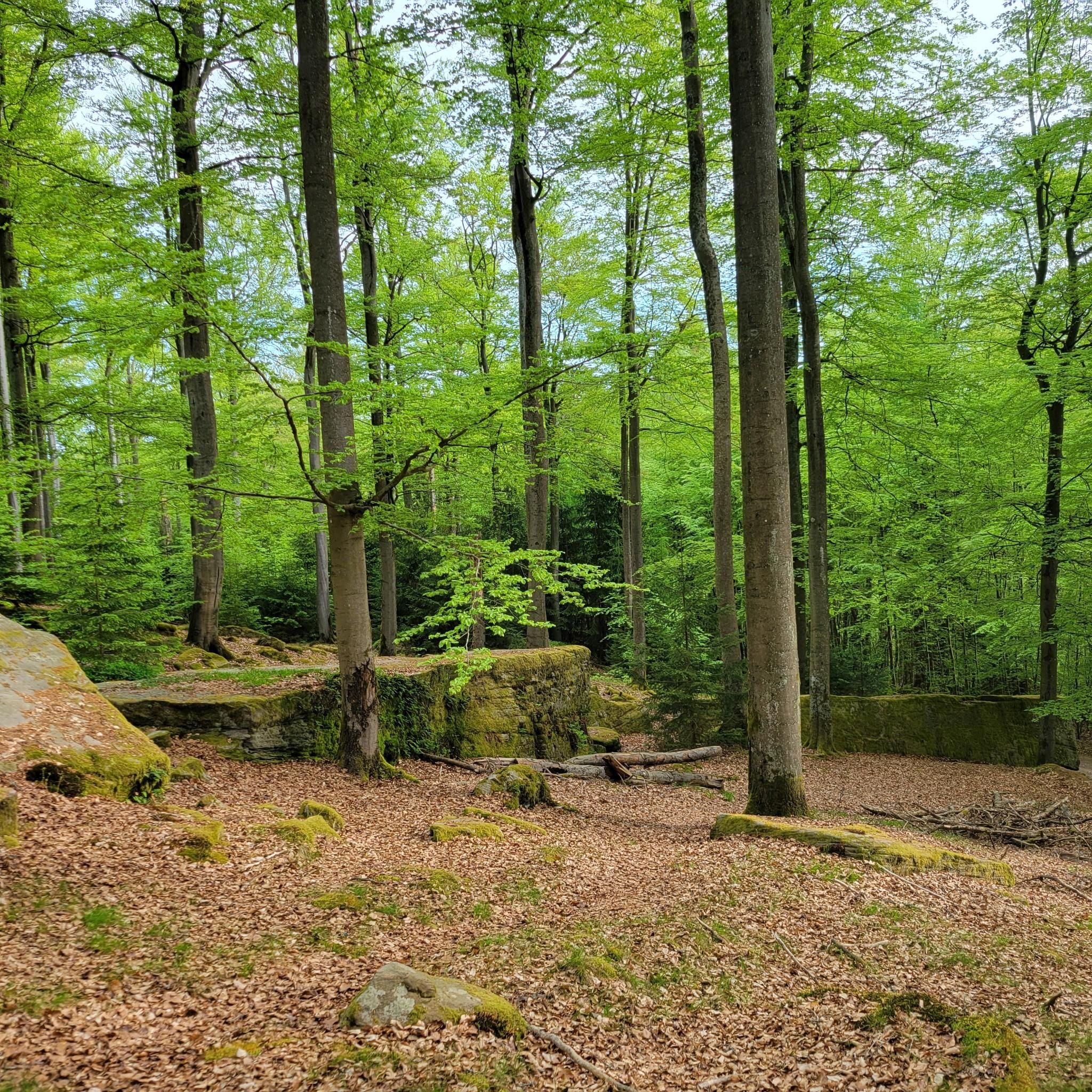
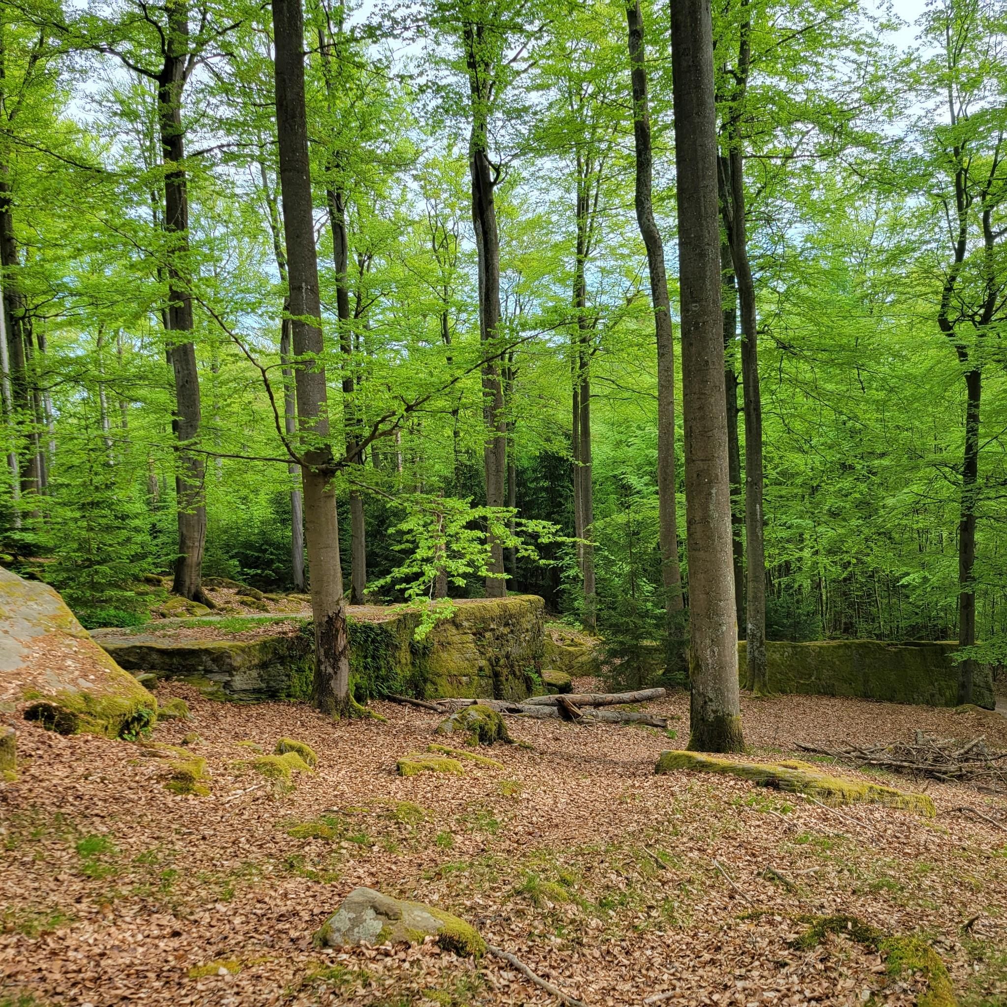
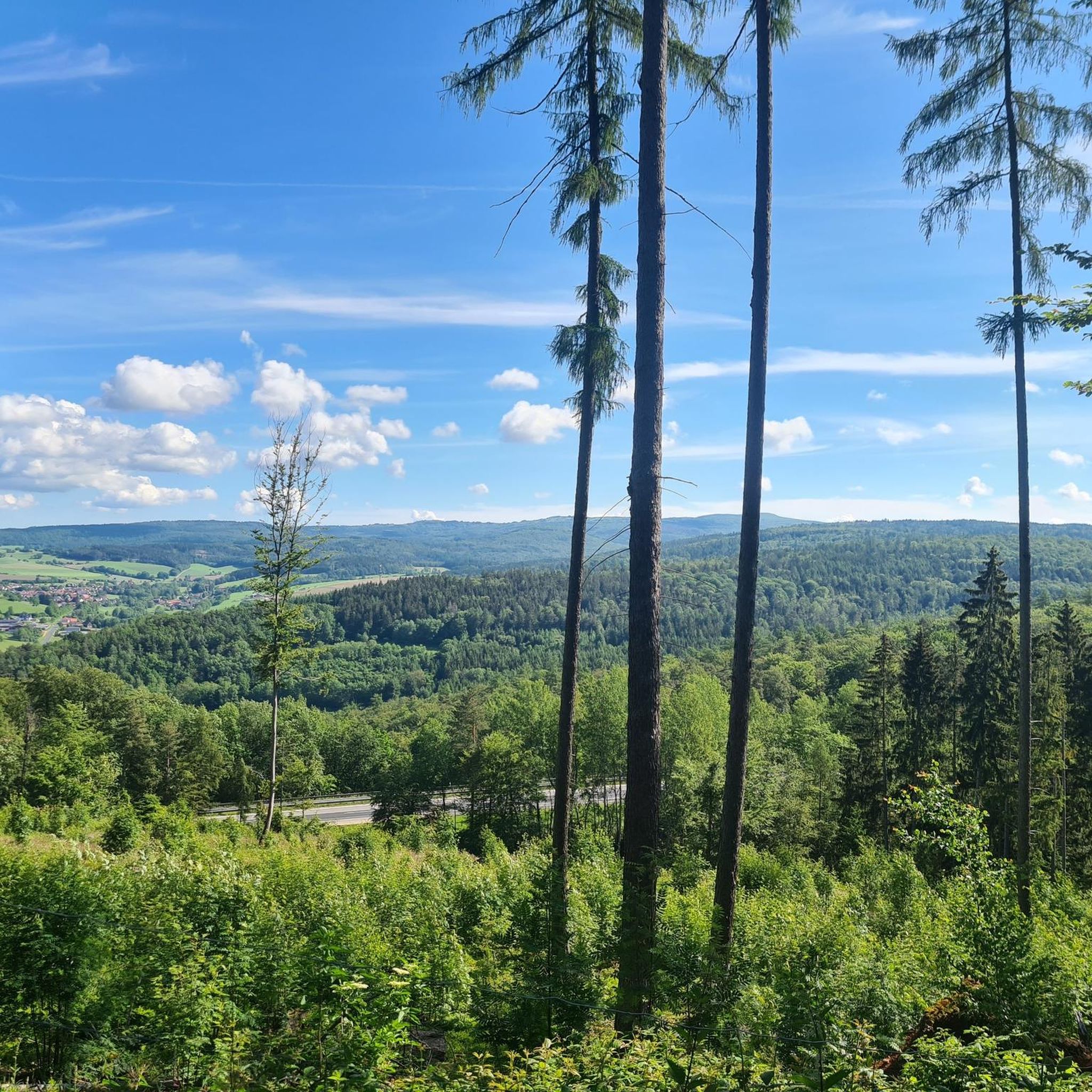
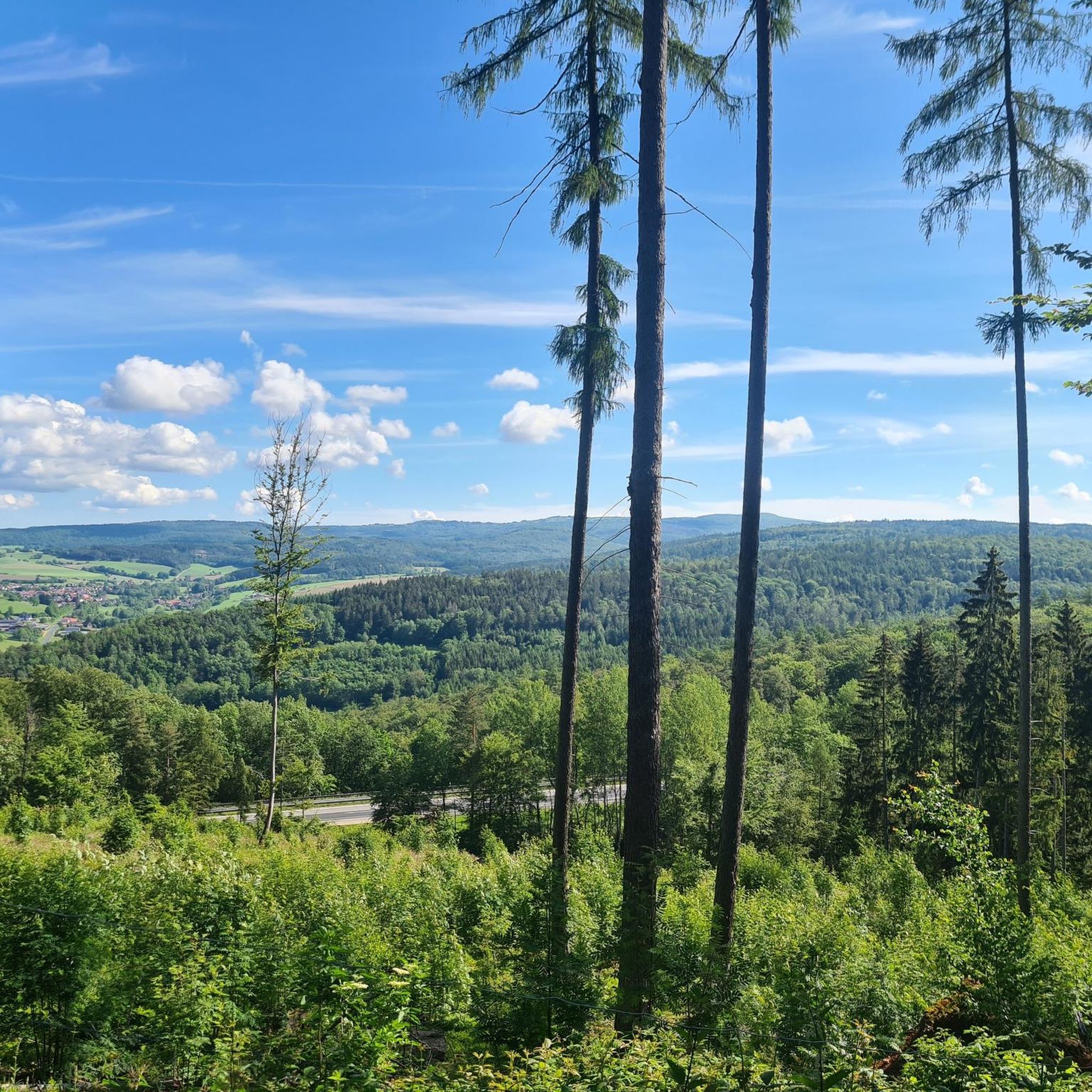
Tips from the Community

The Kreuzberg is considered the "Holy Mountain of the Franconians". The highest elevation in the Bavarian Rhön, at 928 meters, is known not only as a pilgrimage site but also for the world-famous Kreuzbergbier, which is produced in the monastery brewery located on the mountain and enjoyed in the cozy monastery tavern with all sorts of regional delicacies.
0
0

From Kreuzberg to Bad Brückenau, you practically don't have to pedal for 26.9 km by bike. But even then, it's always downhill to Jossa on the way and further to Gemünden. The Rhönexpress Way leads through wonderful meadows and protected landscape. Worth seeing.
1
0
You have to climb up there, meter by meter, but it's worth it.
0
0

The Kreuzberg in the Rhön has always attracted people as a place of power. In pre-Christian times, there was a sacred ash tree there, which is remembered by the old name "Aschberg". Since the Christianization of the Franks by St. Kilian and his companions in the year 686, the Kreuzberg has been considered the Holy Mountain of the Franks. The monastery, located just below the summit, was founded in 1644 by Franciscan monks. The pilgrimages are popular with the population, both from the surrounding area and traditionally from the Lower Franconian district town of Würzburg, which makes the long journey on foot to the pilgrimage church every year. Quelle: https://www.biosphaerenreservat-rhoen.de/mensch/tourismus-gastronomie-und-erholung/schaetze-der-rhoen/der-kreuzberg
1
0
Beautiful view of Bischofsheim, Wasserkuppe, the ruin of Osterburg and also down to the Gemündener Hütte.
1
0

Wonderful cycle path with a perfect surface
1
0

Even without words.....simply beautiful
0
0

Directly below the Kreuzberg is a paid hiking parking lot. From there it is only about 400 meters to the Kreuzberg monastery. Via a steep staircase, you reach the Kreuzberg (928 m above sea level). On the way, you pass three oversized crosses that represent striking waypoints. A little further up, you finally reach the even larger summit cross of the mountain. The location is part of the Bischofsheimer Gipfel-Pass with stamp number 3 (directly next to the cross pedestal).
1
0
Frequently Asked Questions
How many touring cycling routes are available in Römershager Forst-Nord?
There are over 340 touring cycling routes in Römershager Forst-Nord, offering a wide range of options for cyclists of all abilities. The region is highly rated by the komoot community, with an average score of 4.6 stars from over 1,500 reviews.
What kind of terrain can I expect on touring cycling routes in Römershager Forst-Nord?
Römershager Forst-Nord, nestled within the Rhön Biosphere Reserve, features varied forest landscapes, lush woodlands, and rolling hills. Many routes utilize former railway lines, such as sections of the Rhön Cycle Path, which offer more gentle gradients through the scenic countryside. You'll find a mix of quiet woods and open vistas.
Are there any easy touring cycling routes suitable for beginners or families?
Yes, Römershager Forst-Nord offers several easy touring cycling routes. For a relaxed ride, consider the Bad Brückenau Spa Park – Witch's Cottage Café loop from Bad Brückenau, which is 16.9 km long and features minimal elevation changes, making it ideal for families or those seeking a leisurely pace.
What are some of the more challenging touring cycling routes in the area?
For experienced touring cyclists looking for a challenge, routes like the Rhönexpress Cycle Path – View of Kreuzberg loop from Bad Brückenau offer significant elevation gains over 50.1 km. Another demanding option is the View of Kreuzberg – View of Sandberg and the Rhön loop from Riedenberg, a 37.3 km path with expansive views and considerable climbs.
Are there any circular touring cycling routes in Römershager Forst-Nord?
Many of the touring cycling routes in Römershager Forst-Nord are circular, allowing you to start and end at the same point. An excellent example is the Rhönexpress Rail Cycle Path – Rhönexpress Rail Trail loop from Speicherz, a 38.5 km route that takes you through picturesque landscapes on a former rail trail.
What natural features or viewpoints can I expect to see along the routes?
As part of the Rhön Biosphere Reserve, Römershager Forst-Nord offers breathtaking panoramic views, often referred to as the 'land of endless horizons.' You'll encounter diverse ecosystems, including orchards and pastures. Specific routes may lead to viewpoints, such as those highlighted on the 'Rundtour Alte Motten-Steinbrüche – XXL-Bank Motten ab Speicherz' (mentioned in region research), providing opportunities to appreciate the expansive landscapes.
Are there any interesting attractions or landmarks near the touring cycling routes?
While Römershager Forst-Nord itself is known for its natural beauty, the surrounding Rhön region offers several points of interest. You might pass historical ruins or old quarries, adding cultural and geological interest. For specific natural highlights, consider exploring the Basalt Lake Tintenfass or the Beaver Habitat Steiersbach Ziegelhütte, both of which are accessible from routes in the wider area.
What is the best season for touring cycling in Römershager Forst-Nord?
The Rhön Biosphere Reserve, including Römershager Forst-Nord, is beautiful throughout the warmer months. Spring offers lush greenery and blooming orchards, while summer provides pleasant temperatures for longer rides. Autumn transforms the woodlands with vibrant colors, making it another excellent time to explore the region by bike. Always check local weather forecasts before heading out.
Is it possible to access the touring cycling routes by public transport?
The broader Rhön region, which encompasses Römershager Forst-Nord, has cycle paths that utilize former railway lines, suggesting some accessibility points. While specific public transport connections directly to trailheads within Römershager Forst-Nord may vary, towns like Bad Brückenau, which serve as starting points for several routes, often have public transport links.
Are there places to park near the touring cycling routes?
Yes, many popular starting points for touring cycling routes in the region, such as Bad Brückenau or Speicherz, offer parking facilities. These towns serve as convenient bases for exploring the network of paths in and around Römershager Forst-Nord.
What makes touring cycling in Römershager Forst-Nord unique?
Touring cycling in Römershager Forst-Nord is unique due to its location within the UNESCO Rhön Biosphere Reserve. This designation ensures a commitment to nature conservation, offering cyclists stunning highland landscapes, diverse ecosystems, and the characteristic 'land of endless horizons.' The blend of tranquil forest areas, rolling hills, and routes along former railway lines provides a distinct and fulfilling experience.
Can I find routes with moderate difficulty for an enjoyable day trip?
Absolutely. Römershager Forst-Nord has a significant number of moderate routes, with 159 out of 344 tours falling into this category. These routes offer a good balance of distance and elevation, providing an engaging ride without being overly strenuous. An example is the Rhönexpress Cycle Path – End of Rhönexpress Rail Trail loop from Bad Brückenau, a 26.1 km route with moderate climbs.
Most popular routes around Römershager Forst-Nord
Most popular attractions around Römershager Forst-Nord

Get inspired with the komoot mobile app


Explore more
Browse the best Cycling routes in other regions.
