The best mountain hikes around Pomarolo
4.8
(139)
971
hikers
4
hikes
Mountaineering around Pomarolo offers a range of challenging routes within the Trentino region, characterized by its mountainous terrain. The area features prominent peaks, scenic ridges, and high-altitude refuges, providing diverse landscapes for exploration. Routes often include significant elevation gains, leading to summit crosses and offering expansive views, including glimpses of Lake Garda. The region's geology supports varied trails, from forested sections to exposed mountain paths.
Best mountaineering routes around Pomarolo
- The most popular mountaineering route is View of Lake Garda…
Last updated: July 6, 2026
4.9
(50)
232
hikers
2.72km
01:27
170m
170m
Hard mountaineering route. Great for any fitness level. Sure-footedness, sturdy shoes and alpine experience required.
4.9
(27)
279
hikers
4.85km
02:24
430m
430m
Moderate mountaineering route. Good fitness required. Mostly accessible paths. Sure-footedness required.

Sign up for free
4.8
(11)
107
hikers
Moderate mountaineering route. Good fitness required. Mostly accessible paths. Sure-footedness required.
4.9
(10)
70
hikers
Hard mountaineering route. Good fitness required. Sure-footedness, sturdy shoes and alpine experience required.
5.0
(3)
20
hikers
Moderate mountaineering route. Good fitness required. Mostly accessible paths. Sure-footedness required.
Our route recommendations are based on thousands of hikes, rides, and runs completed by other people on komoot.
Start today with a free account
Your next adventure awaits.
Login or Signup
Tips from the Community

Splendid view over the entire Lake Garda from Torbole to Sirmione
0
0

Kiosk with WC available. Drinking fountain also present. The local bouldering community obviously meets here.
0
0

Monte Cornetto, along with Cima Verde and Dos d'Abramo, is one of the peaks that make up the famous "Tre Cime del Bondone"; it's probably the one with the best panoramic views. From here, the view opens up to a 360° panorama of the Brenta Dolomites, Adamello, Paganella, the Lessinia Mountains, the Garda Prealps, Carega, and the Lagorai mountain range. The climb to the summit cross features easy rock sections, but requires hands.
1
0

Summit Cross Monte Stivo (2054 m) A truly panoramic summit with panoramic views of Lake Garda, the Brenta Range, and the Dolomites – impressive at any time of day. The short detour to the ridge is absolutely worth it for even more views and photo opportunities!
0
0

Piazzola from which you can start your journey and reach the Marchetti refuge and the summit of Stivo
0
0

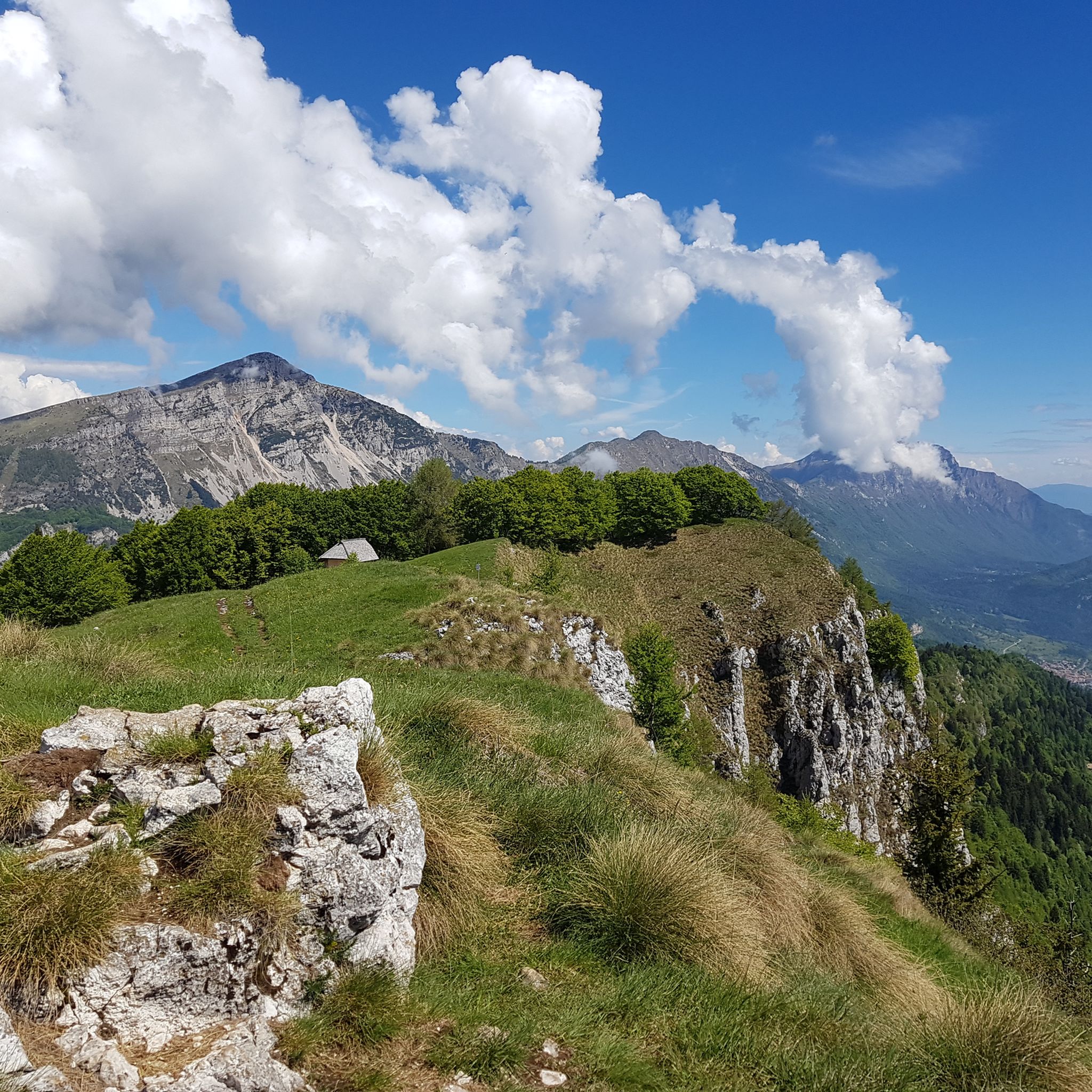
From this point on the trail you have a very wide view of Lake Garda and the surrounding peaks.
2
0
This beautiful picnic area offers great shelter from the sun. From here you can enjoy a magnificent view of Lake Cavedine, Dro and the surrounding mountains. A truly great place to make a memorable stop!
0
0
The Via Ferrata Caduti di Nassirya is an exciting adventure between rock walls and a stream that flows between mossy rocks. The route includes suspension bridges, metal ladders and vertiginous passages, with spectacular views of waterfalls.
2
1
Frequently Asked Questions
How many mountaineering routes are available around Pomarolo?
There are 5 mountaineering routes detailed in this guide for the Pomarolo area. These routes offer a variety of experiences within the Trentino region.
What is the general difficulty level of mountaineering routes in Pomarolo?
The mountaineering routes around Pomarolo cater to different skill levels. You'll find 2 moderate routes and 3 difficult routes, offering options for both experienced hikers and those looking for a significant challenge.
Are there any moderate mountaineering routes suitable for those with less experience?
Yes, there are moderate routes available. For example, the View of Lake Garda – Rifugio Stivo "P. Marchetti" loop from Ronzo-Chienis is a moderate 6.0-mile (9.6 km) trail that takes about 4 hours 26 minutes, offering stunning views without extreme difficulty. Another moderate option is the Cima Valdritta Summit Cross – Rifugio Stivo "P. Marchetti" loop from Rifugio Stivo Prospero Marchetti.
What are some of the more challenging mountaineering routes around Pomarolo?
For those seeking a challenge, routes like the Costa del Cavai – Monte Cavo Ridge loop from Biotopo Toribera delle Viote offer a difficult 6.3-mile (10.1 km) path traversing a scenic ridge. Another demanding option is the Rifugio Stivo "P. Marchetti" – Cima Valdritta Summit Cross loop from Patone, which is a difficult 10.9-mile (17.5 km) route.
What do other mountaineers enjoy most about the routes in Pomarolo?
The routes in Pomarolo are highly rated by the komoot community, with an average score of 4.8 stars from over 140 reviews. Mountaineers often praise the expansive views, including glimpses of Lake Garda, the prominent summit crosses, and the well-maintained mountain refuges along the trails.
Are there any circular loop trails for mountaineering near Pomarolo?
Yes, several routes are designed as circular loops, allowing you to start and end at the same point. Examples include the View of Lake Garda – Rifugio Stivo "P. Marchetti" loop from Ronzo-Chienis and the Costa del Cavai – Monte Cavo Ridge loop from Biotopo Toribera delle Viote.
When is the best season for mountaineering in Pomarolo?
The Trentino region, where Pomarolo is located, generally offers the best mountaineering conditions from late spring through early autumn (May to October). During these months, trails are typically clear of snow, and the weather is more stable, making for safer and more enjoyable ascents.
Are there mountain refuges or places to eat along the mountaineering routes?
Yes, some routes lead to or pass by mountain refuges. For instance, the View of Lake Garda – Rifugio Stivo "P. Marchetti" loop specifically mentions leading to Rifugio Stivo "P. Marchetti," which typically offers food and accommodation during the season.
What kind of views can I expect on the mountaineering routes around Pomarolo?
Mountaineering around Pomarolo is renowned for its spectacular panoramic views. Many routes offer expansive vistas, including stunning glimpses of Lake Garda, and lead to prominent summit crosses that provide 360-degree perspectives of the surrounding mountainous terrain.
Are there any interesting landmarks or attractions near the mountaineering routes?
While focusing on the mountain experience, the region around Pomarolo also features notable mountain passes. You might consider exploring nearby highlights such as Monte Velo – Santa Barbara Pass or Passo Bordala, which offer scenic drives or additional hiking opportunities.
Where can I find parking for mountaineering routes near Pomarolo?
Specific parking details vary by trailhead. For routes like the View of Lake Garda – Rifugio Stivo "P. Marchetti" loop, the starting point is Ronzo-Chienis, and for the Costa del Cavai – Monte Cavo Ridge loop, it's Biotopo Toribera delle Viote. These villages and natural areas typically have designated parking areas for hikers, though it's always advisable to check local signage upon arrival.
Most popular routes around Pomarolo
Most popular attractions around Pomarolo

Get inspired with the komoot mobile app


Explore more
Browse the best Mountain Hikes & Routes in other regions.
