The best running trails around Oltressenda Alta
4.2
(58)
5,576
runners
304
runs
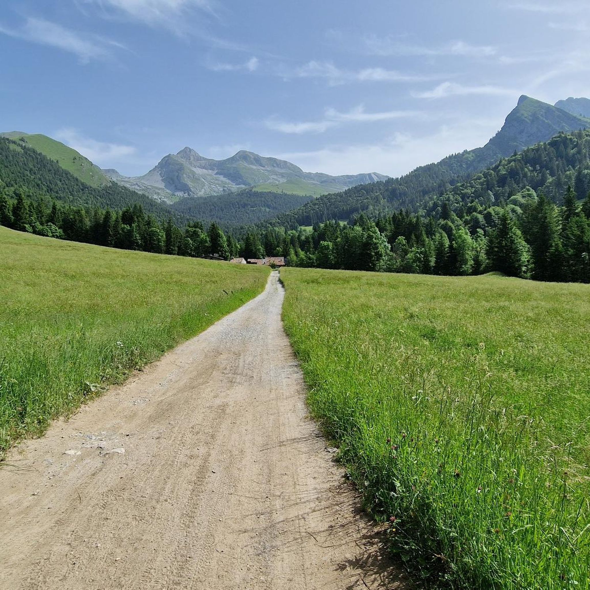
Jogging routes Oltressenda Alta traverse a landscape characterized by pristine mountain trails, the picturesque Valzurio Valley, and the meandering Ogna stream. The region offers varied terrain, from the lower center of Nasolino to the higher altitudes of Valzurio, providing diverse inclines and declines for runners. Historic centers and ancient hamlets also offer cultural points of interest along many running routes.
Best jogging routes around Oltressenda Alta
- The most popular jogging route is Rifugio Olmo loop from Oltressenda Alta, a…
Last updated: September 25, 2026
245
runners
27.5km
04:38
1,600m
1,600m
Hard run. Very good fitness required. Sure-footedness, sturdy shoes and alpine experience required.
36
runners
24.7km
04:11
1,340m
1,340m
Hard run. Very good fitness required. Sure-footedness, sturdy shoes and alpine experience required.

38
runners
20.7km
03:46
1,250m
1,250m
Hard run. Very good fitness required. Sure-footedness, sturdy shoes and alpine experience required.
21
runners
19.1km
02:02
190m
190m
Hard run. Very good fitness required. Mostly paved surfaces. Suitable for all skill levels.
16
runners
19.0km
02:36
990m
990m
Hard run. Very good fitness required. Sure-footedness, sturdy shoes and alpine experience required.
Get access to more routes and recommendations from other explorers.
Already have an account?
Our route recommendations are based on thousands of hikes, rides, and runs completed by other people on komoot.
Start today with a free account
Your next adventure awaits.

Tips from the Community

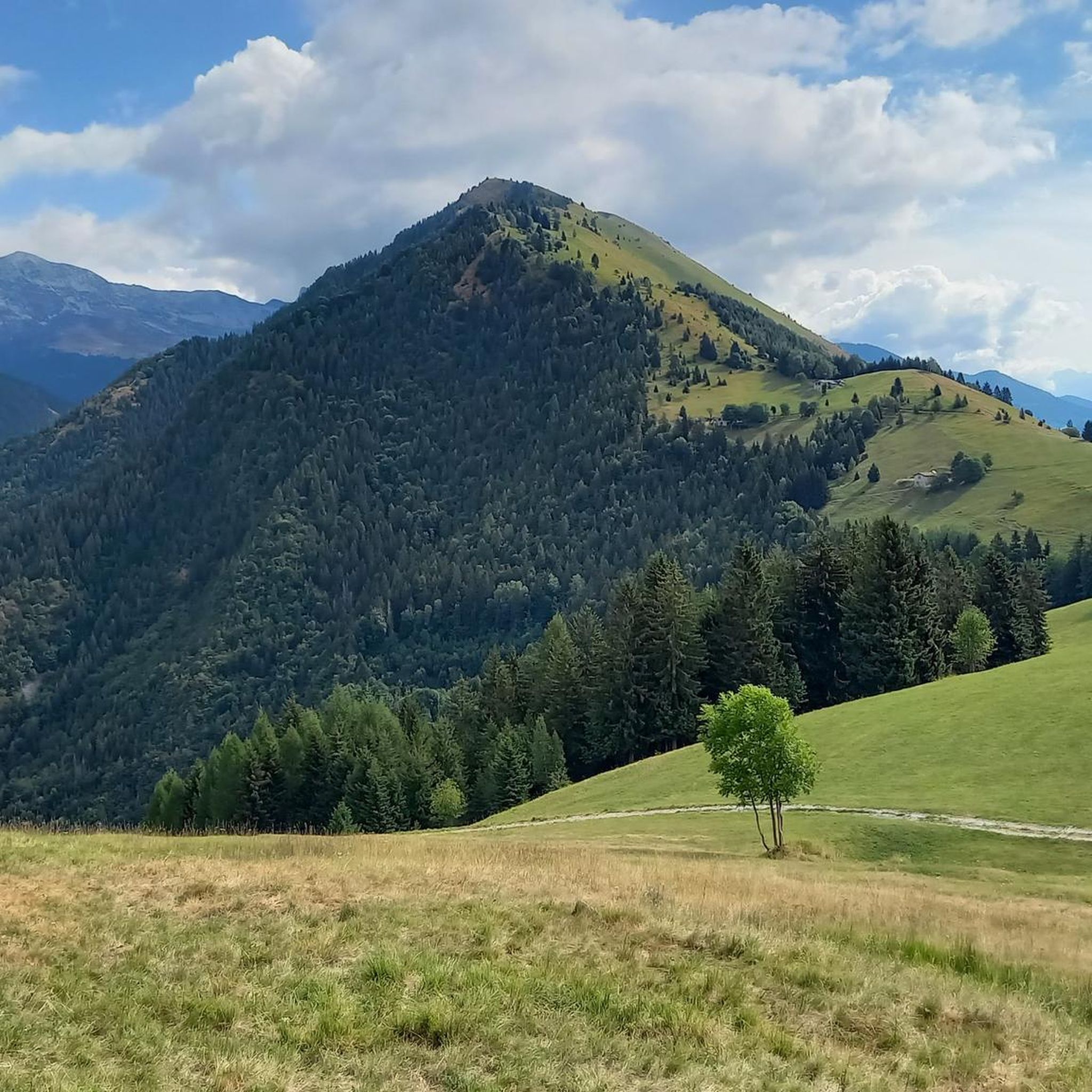
One of the few ancient constructions, found in the Bergamo area, in which dairy products produced at high altitude were stored for aging and conservation. The Selter del Ruì is, in its characteristic stone construction with a vaulted roof covered with earth, a close relative of the more famous Tuscan Burraie. Which, however, have the characteristic of running water in their internal tanks. Here, replaced by a cold flow of air that crosses the small construction.
11
0
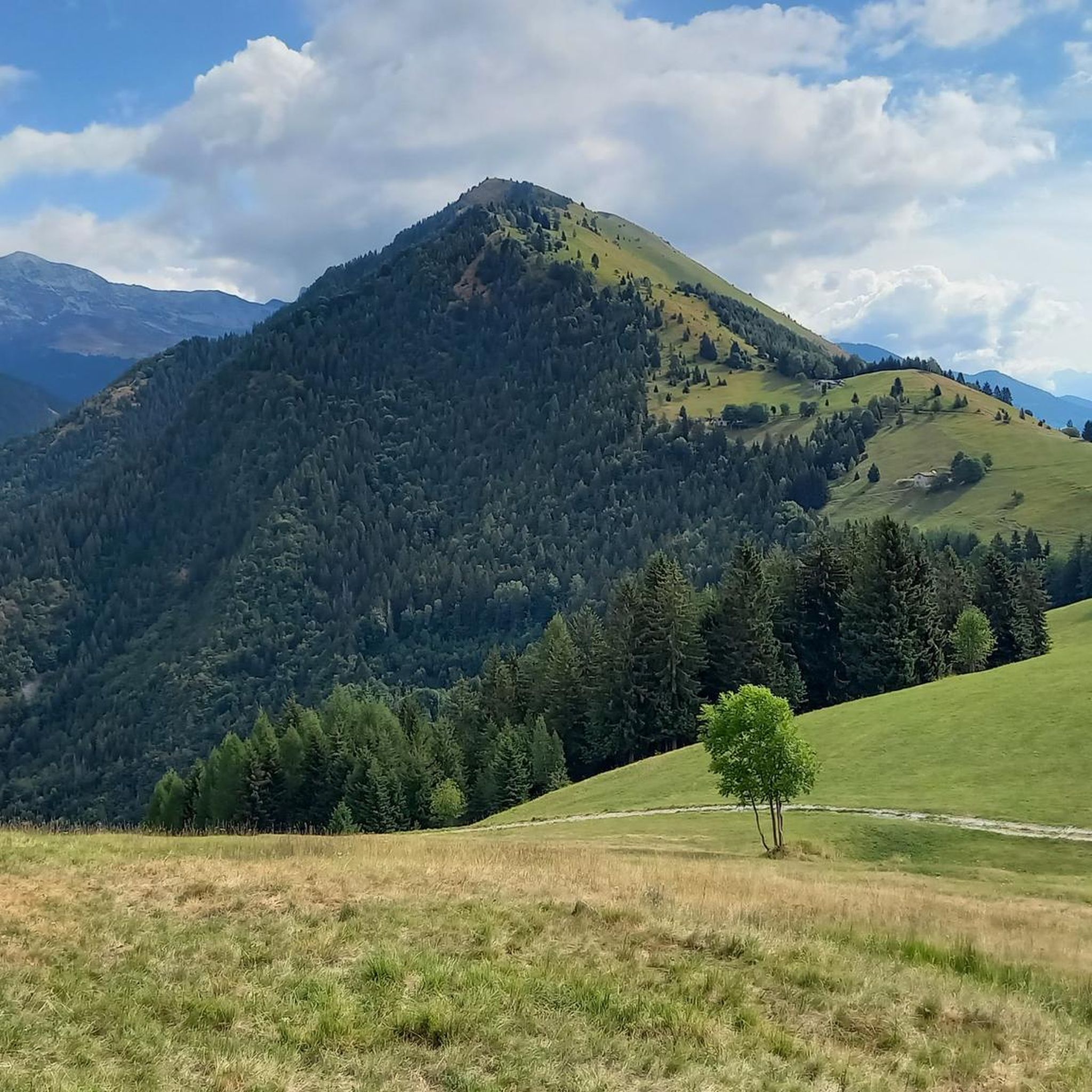
According to history, Möschel was the scene in 774 AD of a battle between the troops of the Lombard Prince Alano and part of those of Charlemagne, who had pursued him along the Valle di Scalve. The huts (5) form a tiny village in the plain of the same name. Half a century ago they were still stone huts dedicated to summer grazing. Now they have all been converted into rural high-altitude dwellings. Il Möschel is the starting point for Passo dello Scagnello and Rif. Albani; and for the ascent to Ferrantino and Ferrante. A little before, in the woods, there is a charming bivouac.
11
0
Charming little village, composed of a cluster of houses. Upon arrival, the Baroque church with its splendid pronaos makes a beautiful display. It is dedicated to Saint Margaret and richly frescoed. It is worth a stop to visit. A little further on, in the center of the small village, a beautiful fountain/washhouse.
11
0

The Torrente Valle Flex (also known as Torrente della Val Flash) is a watercourse located in Val Seriana, in the province of Bergamo, within the municipal territory of Clusone and surrounding areas.
0
0

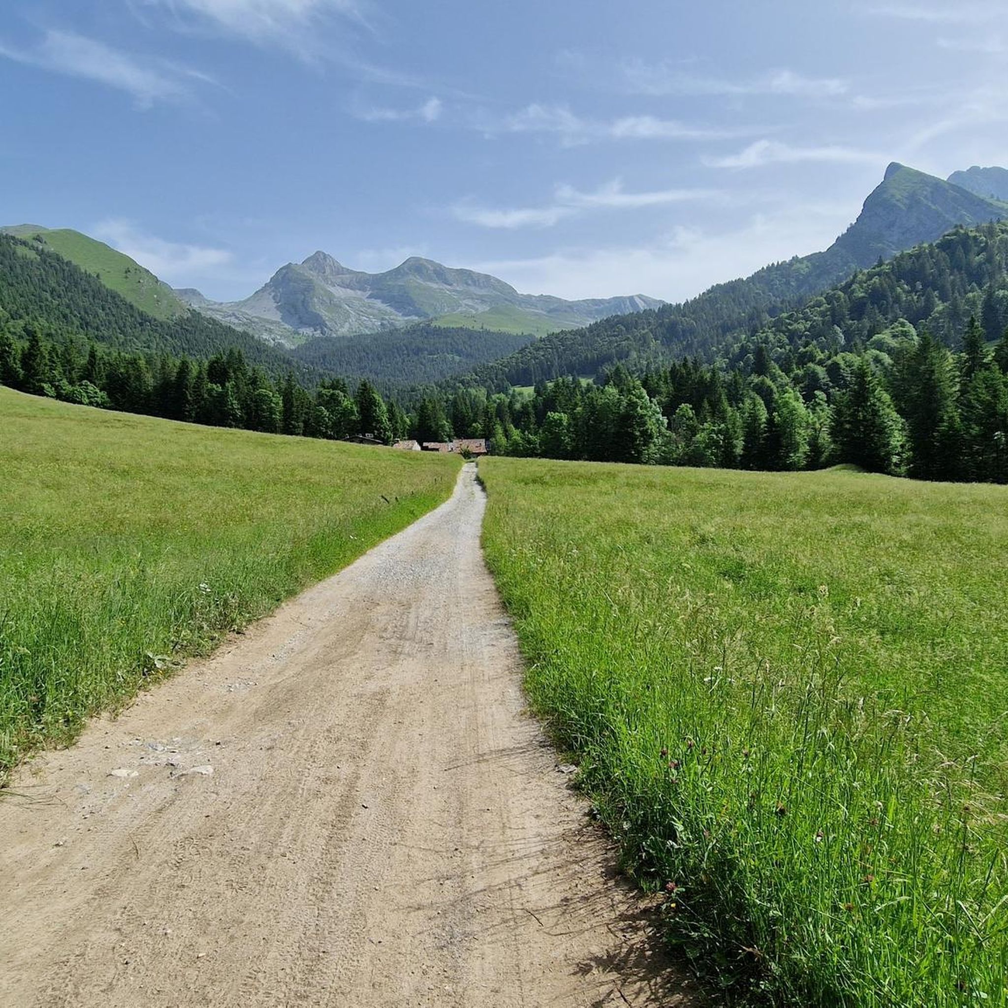
Passo degli Agnelli (1,950 m) is a charming panoramic pass located at the foot of the southern walls of Presolana, in the province of Bergamo. Accessible mainly from Rifugio Rino Olmo or via routes including the Sentiero delle Capre and Rifugio Cassinelli, it offers a unique alpine environment, often frequented for hikes and chamois spotting.
0
0

Snow-covered Giants' Cauldrons!
1
0

natural masonry which has the characteristic of maintaining a cool and constant temperature inside
0
0
beautiful hamlet with catering services
0
0
Frequently Asked Questions
How many running routes are available in Oltressenda Alta?
Oltressenda Alta offers a wide selection of running routes, with over 240 trails available. This includes a variety of options, from easier paths to challenging mountain runs, ensuring there's something for every runner.
What kind of terrain can I expect on the running trails in Oltressenda Alta?
The region is characterized by pristine nature and mountain trails, with varied terrain ranging from the lower center of Nasolino to the higher altitudes of Valzurio. You'll find diverse inclines and declines, often winding through natural amphitheaters of meadows and woods, and sometimes along waterways like the Ogna stream. Historic centers and ancient hamlets also offer cultural points of interest along many routes.
Are there running routes suitable for beginners or those looking for an easy run?
Yes, Oltressenda Alta has options for all skill levels. There are 17 easy running routes available, perfect for beginners or those seeking a more relaxed pace. Additionally, 89 moderate routes offer a good balance for intermediate runners.
What about more challenging trail running options in Oltressenda Alta?
For experienced trail runners, Oltressenda Alta provides ample challenge with 143 difficult routes. The Valzurio Valley, for instance, is home to the competitive Valzurio Trail, a 23 km mountain running course with a significant positive elevation gain, indicating the demanding nature of some local trails. An example of a challenging route is the Rifugio Olmo loop from Oltressenda Alta, which covers 27.2 km with over 1600 meters of elevation gain.
What do other runners say about the trails in Oltressenda Alta?
The running routes in Oltressenda Alta are highly rated by the komoot community, with an average score of 4.5 stars from over 40 reviews. More than 4000 runners have used komoot to explore the varied terrain, often praising the pristine nature, mountain landscapes, and the blend of physical challenge with cultural exploration.
Are there any circular running routes in Oltressenda Alta?
Yes, many routes in the area are designed as loops, allowing you to start and finish in the same location. For example, the Selter Ruì (Cold Hole) – Baite del Möschel loop from Valzurio is a difficult 24.7 km circular path exploring the natural amphitheater of meadows and woods.
What interesting landmarks or attractions can I see along the running routes?
Beyond the natural beauty, you can encounter several points of interest. The historic centers of Oltressenda Alta and Nasolino, with their ancient architecture and churches like San Bernardo, offer cultural glimpses. You might also find historical sites such as the Selter Ruì (Cold Hole) or the Fluorite Mines Near Rifugio Albani. For scenic views, some routes pass by beautiful lakes such as Gleno Dam and Lake or Barbellino Reservoir.
Are there any running routes that pass through historic villages or cultural sites?
Absolutely. Many routes in Oltressenda Alta allow you to combine your run with cultural exploration. You can weave through the narrow streets of the historic center, admire ancient architecture, and discover the village's past. The ancient urban core of Nasolino, with its typical rural houses and the Church of San Bernardo, is a notable spot. The Church of Santa Margherita Vergine e Martire in Valzurio and the small church of Madonna della Neve in Dosso also provide cultural points of interest along potential routes.
Are there any running routes near water features like streams or lakes?
Yes, the region's geography includes the Ogna stream, a tributary of the Serio River, suggesting potential for scenic runs along waterways. Additionally, some routes offer views of or pass by beautiful lakes. For example, the At the Foot of Monte Beur – Valle Flex Stream loop from Villa d'Ogna offers a route near a stream.
What is a good running route for exploring the Valzurio area?
The Valzurio area is known for its picturesque landscapes. A great option is the Rifugio Olmo loop from Valzurio, a 19.4 km trail leading through mountainous landscapes, often completed in about 3 hours 32 minutes. This route allows you to experience the higher altitudes and natural beauty of Valzurio.
Are there any running routes that are suitable for families?
While many routes in Oltressenda Alta are challenging, there are 17 easy routes that could be suitable for families looking for a gentler run or walk. These typically have less elevation gain and cover shorter distances, making them more accessible for various fitness levels.
Can I find running routes with parking available?
While specific parking details for every route are not listed, many trailheads in popular areas like Valzurio and near historic centers often have designated parking. It's advisable to check local maps or route descriptions for specific parking information when planning your run.
Most popular routes around Oltressenda Alta
Most popular attractions around Oltressenda Alta

Get inspired with the komoot mobile app


Explore more
Browse the best Running Trails & Routes in other regions.
