The best road cycling routes around Ardesio
4.3
(206)
7,551
riders
69
rides
Road cycling routes around Ardesio navigate the mountainous terrain of the Italian Prealps, characterized by significant elevation changes and winding roads through valleys and up mountain passes. The region offers a diverse landscape for road cyclists, from challenging climbs to routes that traverse picturesque villages. This area is known for its demanding ascents and descents, providing a rigorous experience for those seeking high-elevation cycling.
Best road cycling routes around Ardesio
- The most popular road cycling route is Bedulita Climb –…
Last updated: October 11, 2026
4.5
(4)
571
riders
102km
04:38
1,000m
1,000m
Hard road ride. Very good fitness required. Some segments of this route may be unpaved and difficult to ride.
4.0
(1)
148
riders
83.9km
04:16
1,390m
1,390m
Hard road ride. Very good fitness required. Mostly well-paved surfaces and easy to ride.

4.1
(8)
315
riders
75.8km
04:11
1,490m
1,490m
Hard road ride. Very good fitness required. Some segments of this route may be unpaved and difficult to ride.
4.0
(10)
344
riders
54.1km
02:21
430m
430m
Moderate road ride. Good fitness required. Some segments of this route may be unpaved and difficult to ride.
3.8
(4)
100
riders
116km
05:26
1,460m
1,460m
Hard road ride. Very good fitness required. Mostly well-paved surfaces and easy to ride.
Get access to more routes and recommendations from other explorers.
Already have an account?
Our route recommendations are based on thousands of hikes, rides, and runs completed by other people on komoot.
Start today with a free account
Your next adventure awaits.
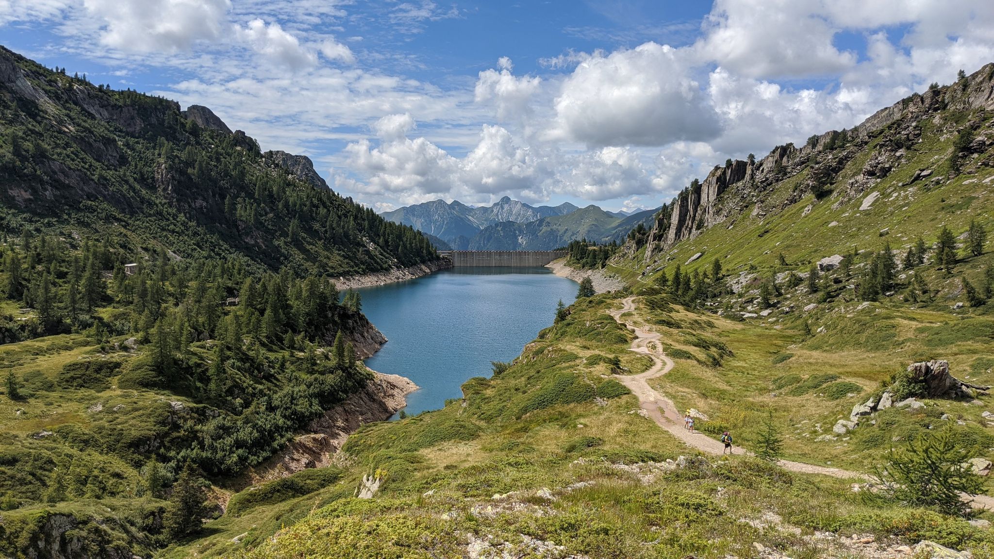
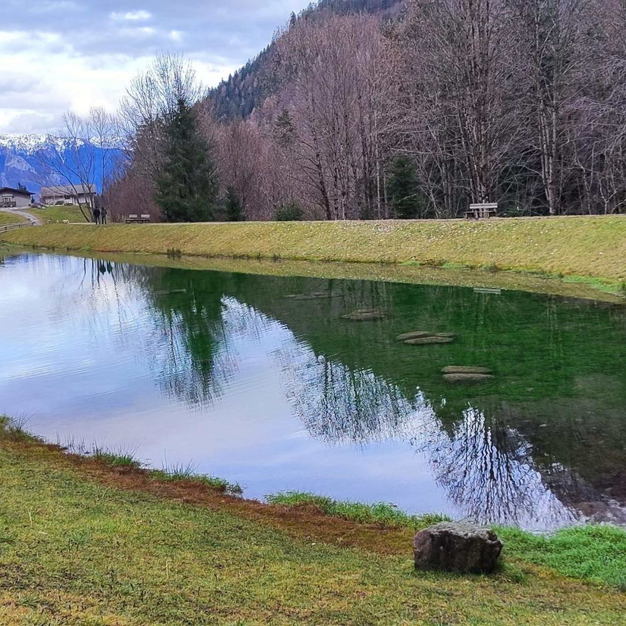
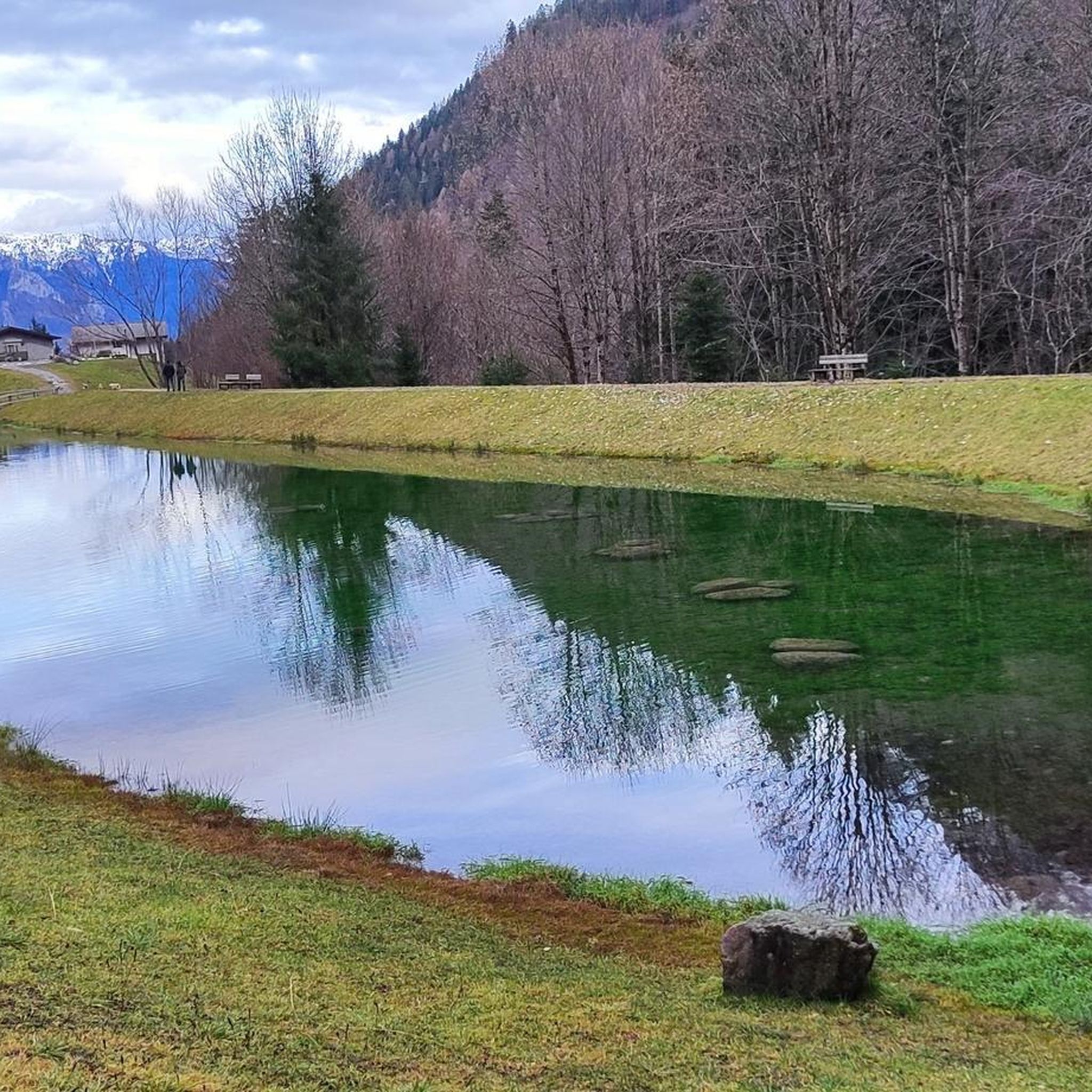
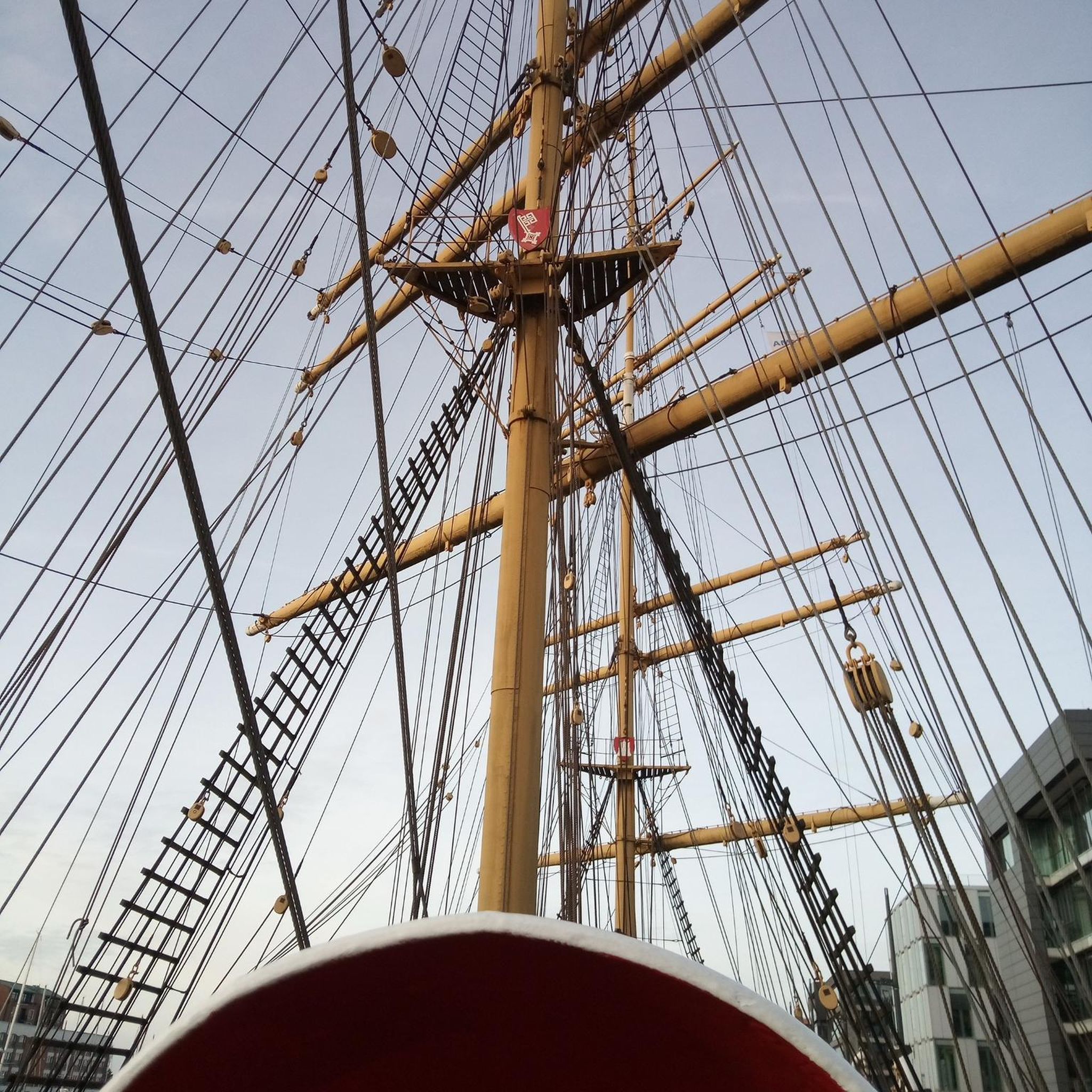

Other adventures around Ardesio

Tips from the Community

Ascent that crosses several very well-equipped and beautiful villages to see.
0
0

Try the trail that passes above the gorge: spectacular.
1
0

La Porta San Lorenzo, officially renamed Porta Garibaldi in 1907, is the smallest, oldest, and most rustic of the four monumental gates that open onto the Venetian Walls of Bergamo, included since 2017 in the UNESCO World Heritage. It was built between 1562 and 1563. It takes its name from the ancient church of the same name that stood in the area and which was demolished by the government of the Republic of Venice precisely to make way for the fortifications. On June 8, 1859, Giuseppe Garibaldi, leading his "Cacciatori delle Alpi" volunteers, entered Bergamo through this gateway. He thus liberated the city from Austrian rule. A plaque on the facade commemorates the event. This historical link is the reason why Bergamo is today nicknamed the "City of the Thousand".
0
0
Narrow and blind passages. Be very careful.
0
0

One of the most beautiful cycling routes on the northern Italian lakes ever.
0
0

The church is dedicated to Santa Maria Assunta and is classified as a subsidiary church of the Diocese of Bergamo. The building has a two-tiered facade, marked by pilasters and niches painted with figures of saints (Maria SS., St. Joseph, St. Roch, St. Paul, St. Peter, St. Anthony Abbot). The interior has a single nave, with three bays and side chapels dedicated to the Madonna del Rosario and the Crucifix.
0
1
The church is dedicated to Santa Maria Assunta and is classified as a subsidiary church of the Diocese of Bergamo. The building has a two-tier facade
0
1
Ganda is a hamlet in the municipality of Aviatico, in the province of Bergamo, located at about 1060 m altitude on a small plateau between Monte Ganda and Monte Rena, below Monte Poieto. The position is extremely panoramic: it overlooks the middle Seriana Valley, the Gandino Valley and, on clear days, even the plain. The SP41 road reaches it, which climbs from Gazzaniga, passes through Orezzo and crests at Col de la Muruna, before arriving at Amora and then at Aviatico. 🧭 Territory and environment The territory of Ganda includes: the Rovaro valley, a narrow gorge between Monte Ganda and Monte Rena; numerous seasonal streams that activate after heavy rains; ancient mule tracks that connected Ganda to Orezzo, Amora, Petello, Merà and the upper localities of Albino. 🕰️ Essential History The documented history is sparse, but the sources agree on some key points: Ancient Origins After the fall of the Roman Empire, groups of people took refuge at high altitudes to escape incursions and looting in the valley floors. Ganda was born this way: as a settlement of escape and survival. Etymology According to the historian Zambetti, the name would derive from the Celtic "gant", "pile of fallen rocks", linked to an ancient landslide of Cornagera that would have covered the area. Middle Ages and Tribulina Around the year 1000, some inhabitants of Aviatico took refuge here due to the "terror of the year 1000". On the highest point (1071 m) they built a small shrine used for prayer and burials. 1378: the best-known episode Barnabò Visconti, at war with the lords of Comenduno, sent troops to destroy the fortified village. Some inhabitants fled towards the Ganda small shrine, which became a refuge and the nucleus of the village.
0
0
Frequently Asked Questions
How many road cycling routes are available around Ardesio?
Ardesio and its surrounding area offer a wide selection of road cycling routes, with over 60 distinct tours available. These routes cater to various skill levels, including easy, moderate, and challenging options.
What is the best time of year for road cycling in Ardesio?
The mountainous terrain of Ardesio makes late spring, summer, and early autumn ideal for road cycling. During these seasons, the weather is generally more stable, and mountain passes are clear of snow, offering the best conditions for tackling the region's demanding ascents and scenic descents.
Are there any easy road cycling routes suitable for beginners in Ardesio?
While Ardesio is known for its challenging climbs, there are a few easier road cycling routes available. These routes typically feature less elevation gain and shorter distances, providing a good starting point for beginners to experience the region's beauty without extreme difficulty. There are 7 easy routes in the area.
Where can I find challenging road cycling routes with significant elevation gain?
Ardesio is characterized by its demanding ascents and descents, making it perfect for cyclists seeking a rigorous experience. Routes like the Val Palot – Val Palot loop from Piario, which covers 61.7 miles (99.2 km) with over 2,200 meters of elevation gain, offer substantial climbing through alpine valleys and mountain roads. Another option is the Climb to Spiazzi di Gromo – Spiazzi di Gromo loop from Valcanale, a difficult 36.7 km route with over 1,100 meters of ascent.
Are there any circular road cycling routes around Ardesio?
Yes, many of the road cycling routes in Ardesio are designed as loops, allowing you to start and finish in the same location. Examples include the popular Bedulita Climb – Roncola village center loop from Piario and the Valbondione Fountain – Bani Village loop from Boario, both offering extensive circular journeys through varied landscapes.
What kind of views and scenery can I expect on road cycling routes in Ardesio?
Road cycling routes around Ardesio offer diverse and stunning scenery. You can expect winding roads through picturesque valleys, challenging climbs up mountain passes with panoramic vistas of the Italian Prealps, and routes connecting charming small villages. The landscape is defined by its mountainous character, providing a dramatic backdrop for your rides.
Are there any notable attractions or landmarks along the road cycling routes?
Yes, the region around Ardesio features several natural and cultural highlights. You might encounter stunning waterfalls such as the Sambuzza Valley Waterfall or the Sanguigno Stream Waterfalls. Additionally, the area is dotted with mountain huts like the Carlo Medici Refuge at Cassinelli or Capanna 2000 Hut, which can serve as scenic points of interest or rest stops.
What do other road cyclists enjoy most about cycling in Ardesio?
The road cycling experience in Ardesio is highly rated by the komoot community, with an average score of 4.5 stars from over 140 reviews. Cyclists frequently praise the challenging mountain climbs, the scenic valley roads, and the well-maintained routes that connect small, authentic villages, offering a true taste of the Italian Prealps.
Are there routes suitable for families or those looking for less strenuous rides?
While Ardesio's road cycling is largely characterized by its demanding nature, there are a limited number of easier routes that might be more suitable for families or those seeking a less strenuous experience. These routes typically involve less elevation and shorter distances, focusing on flatter sections of valleys or less steep ascents. It's advisable to check the difficulty ratings and elevation profiles carefully.
Where can I find parking for road cycling routes in Ardesio?
Many road cycling routes around Ardesio start from villages like Piario or Boario. These towns typically offer public parking areas where you can leave your vehicle before beginning your ride. It's recommended to check local parking regulations and availability, especially during peak season.
Are there any road cycling routes that pass through villages with cafes or amenities?
Yes, many routes in Ardesio are designed to connect various small villages. These villages often provide opportunities for rest stops, where you can find cafes, restaurants, or small shops to refuel and enjoy local hospitality. For example, routes passing through Valbondione or Bani Village offer such amenities.
Most popular routes around Ardesio
Most popular attractions around Ardesio

Get inspired with the komoot mobile app


Explore more
Browse the best Road cycling routes in other regions.
