The best running trails around Besenello
4.4
(559)
20,848
runners
387
runs
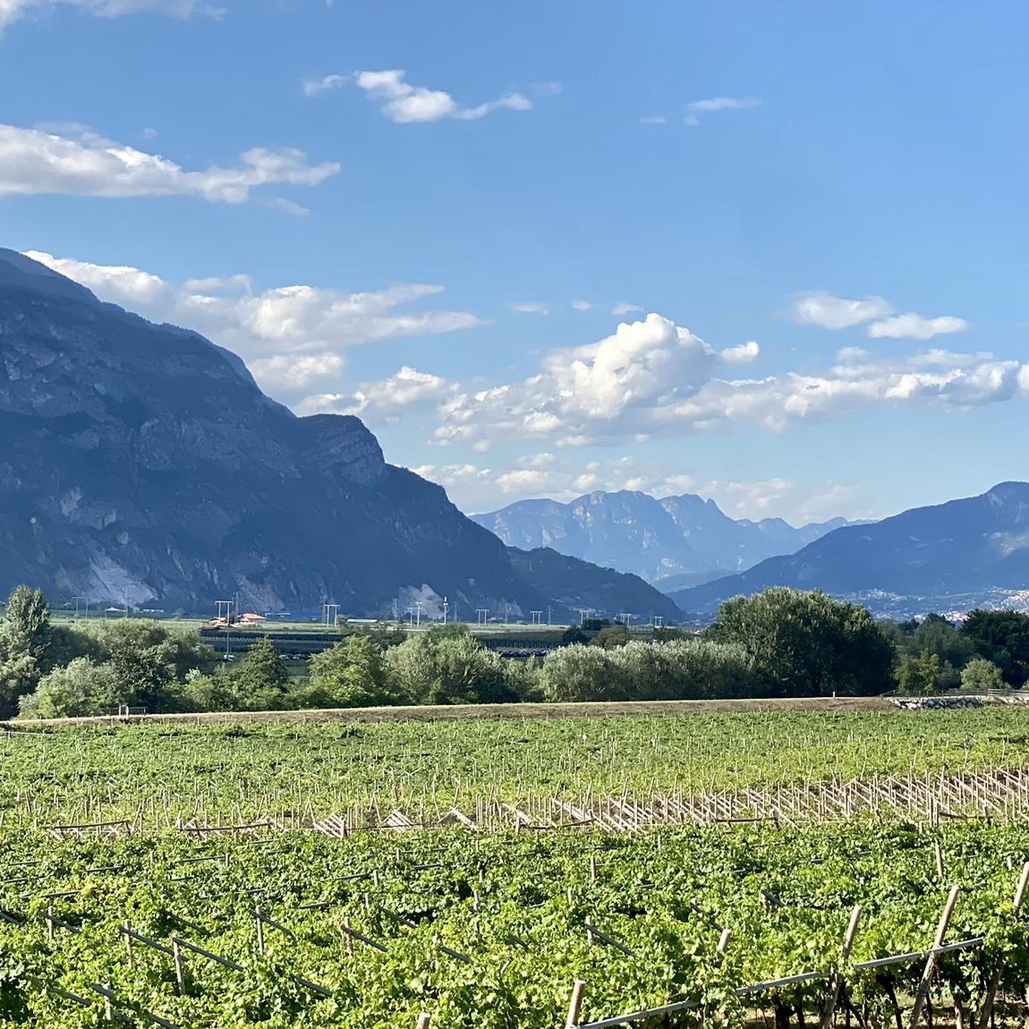
Jogging routes around Besenello traverse the verdant Vallagarina valley, situated on the left bank of the Adige River. The region features a mild climate, supporting vineyards and fruit orchards, and offers a mix of flat paths along the Adige cycle lane and more challenging routes through surrounding hills. Joggers can experience varied terrain, from riverside trails to elevated paths providing views of the valley and historical landmarks like Castel Beseno. The landscape is characterized by its green scenery and diverse…
Last updated: September 30, 2026
119
runners
27.8km
02:56
50m
50m
Hard run. Very good fitness required. Mostly paved surfaces. Suitable for all skill levels.
95
runners
Hard run. Very good fitness required. Sure-footedness, sturdy shoes and alpine experience required.

3.0
(1)
45
runners
Hard run. Very good fitness required. Sure-footedness, sturdy shoes and alpine experience required.
24
runners
8.54km
00:53
30m
30m
Hard run. Good fitness required. Sure-footedness, sturdy shoes and alpine experience required.
5.0
(1)
20
runners
6.22km
00:39
30m
30m
Moderate run. Good fitness required. Mostly paved surfaces. Suitable for all skill levels.
Get access to more routes and recommendations from other explorers.
Already have an account?
Our route recommendations are based on thousands of hikes, rides, and runs completed by other people on komoot.
Start today with a free account
Your next adventure awaits.

Tips from the Community

Nice place in Rovereto
0
0

Always a pleasure to travel this stretch of the E7 cycle path, the temperature is always pleasant even in summer.
0
0

Small square in Borgo Sacco before arriving at Bicigril. There is a fountain for refueling.
1
0

Excellent ice cream, a must-see.....
0
0


Nice, original little place with a bar and tabacchi.
0
0

An ancient village that directly overlooks the Adige river, it was once home to the famous tobacco factory where cigarettes were produced. For those who want there are numerous B&Bs, bars, pizzerias and a beautiful park.
1
0

A real eye-catcher, very interesting construction. From the bridge you have a very beautiful view of the Etsch. Stop for a moment and enjoy the impressions.
7
1
Frequently Asked Questions
How many running routes are available around Besenello?
There are over 300 running routes around Besenello, offering a wide range of options for all fitness levels, from easy riverside paths to more challenging ascents through the hills.
What kind of terrain can I expect on the jogging trails in Besenello?
You can expect a diverse range of terrain. Many routes follow the flat, scenic Adige Cycle Path along the river, passing through vineyards and fruit orchards. For those seeking more challenge, the surrounding hills offer significant elevation gains and panoramic views.
Are there easy running routes suitable for beginners in Besenello?
Yes, Besenello offers several easy running routes. For instance, the Running loop from Calliano is a moderate 3.9-mile (6.2 km) trail that takes you through local fields and vineyards, perfect for a relaxed run.
Can I find challenging trails for advanced runners in the area?
Absolutely. For experienced runners, routes like the Caproni Airport loop from Calliano offer a difficult 14.3-mile (23.0 km) run. Another challenging option is the Dietrobeseno loop from Calliano, which includes significant elevation changes.
Are there any running routes that offer scenic viewpoints?
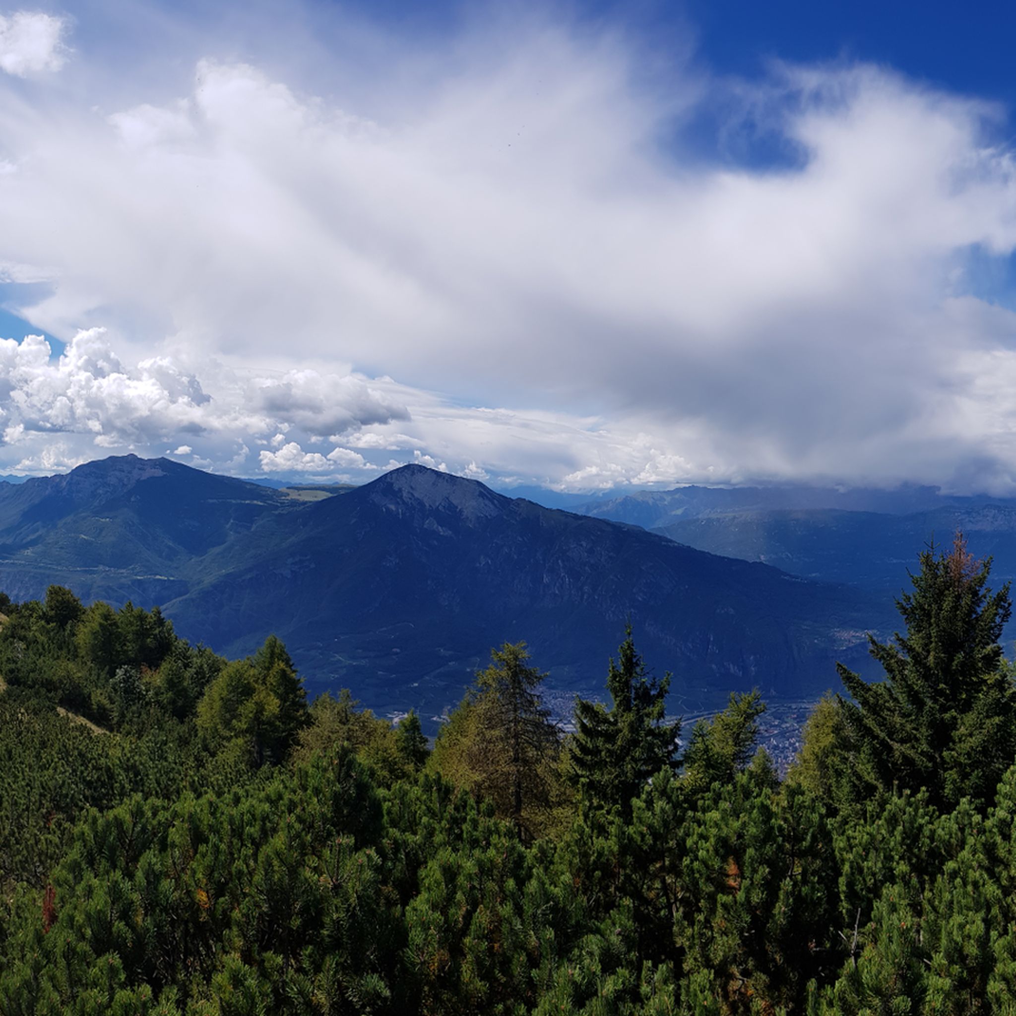
Many routes in Besenello provide spectacular views. Trails climbing through the surrounding hills, such as the 'Sentiero dell'Imperatore' or the 'View of the Adige Valley – Castel Beseno loop,' offer impressive overlooks of the Vallagarina valley and the Adige River. You can also get magnificent 360-degree views from Castel Beseno itself.
Are there jogging routes that pass by waterfalls?
Yes, Besenello is close to several enchanting waterfalls that can be incorporated into your running routes. You might encounter the Zambèl Waterfall, Hofentol Waterfall, or the Rio Mous Waterfalls, adding natural beauty to your run.
What historical sites can I see while jogging around Besenello?
You can explore routes that lead to or around Castel Beseno, Trentino's largest fortified complex. Other historical points of interest include the Church of Sant'Agata and the ancient little church of Santa Marina, which can be found along various trails.
Are there family-friendly jogging options in Besenello?
The milder, flatter sections along the Adige River, such as parts of the Adige Cycle Path, are generally suitable for families. These paths offer a pleasant environment without significant elevation changes.
Are dogs allowed on the running trails in Besenello?
Generally, dogs are welcome on many outdoor trails in the Besenello area. However, it's always recommended to keep them on a leash, especially in nature reserves or near agricultural areas, and to check for specific local regulations or signage on individual routes.
How can I get to the jogging trails using public transport?
Besenello is situated in the Vallagarina valley, and the Adige cycle path runs alongside it, connecting to cities like Rovereto and Trento. Public transport options, including local buses, can connect you to Besenello and nearby towns like Calliano, where many routes begin. It's advisable to check local bus schedules for specific connections to trailheads.
Where can I park near the jogging trails in Besenello?
Parking is generally available in Besenello and the surrounding villages like Calliano, which serve as starting points for many routes. Look for designated parking areas in town centers or near popular trailheads. Specific parking information for individual routes can often be found on komoot route pages.
Are there circular running routes available in Besenello?
Yes, many of the running routes around Besenello are designed as loops, allowing you to start and finish in the same location. Examples include the Bridge over the Adige River loop from Besenello and the Casom Ruins loop from Aldeno.
What is the best time of year to go running in Besenello?
Besenello benefits from a particularly mild climate, making it suitable for outdoor pursuits throughout much of the year. Spring and autumn offer pleasant temperatures and vibrant scenery. Even in winter, the mild climate can allow for enjoyable runs, though higher elevation trails might be affected by snow.
What do other runners enjoy most about the routes in Besenello?
The routes in Besenello are highly rated by the komoot community, with an average score of 4.39 stars from over 360 reviews. Runners often praise the diverse landscapes, from the flat riverside paths along the Adige to the challenging ascents with panoramic views, as well as the historical landmarks like Castel Beseno.
Most popular routes around Besenello
Most popular attractions around Besenello

Get inspired with the komoot mobile app


Explore more
Browse the best Running Trails & Routes in other regions.
