The best walks and hikes around Aldeno
4.4
(4862)
28,069
hikers
624
hikes
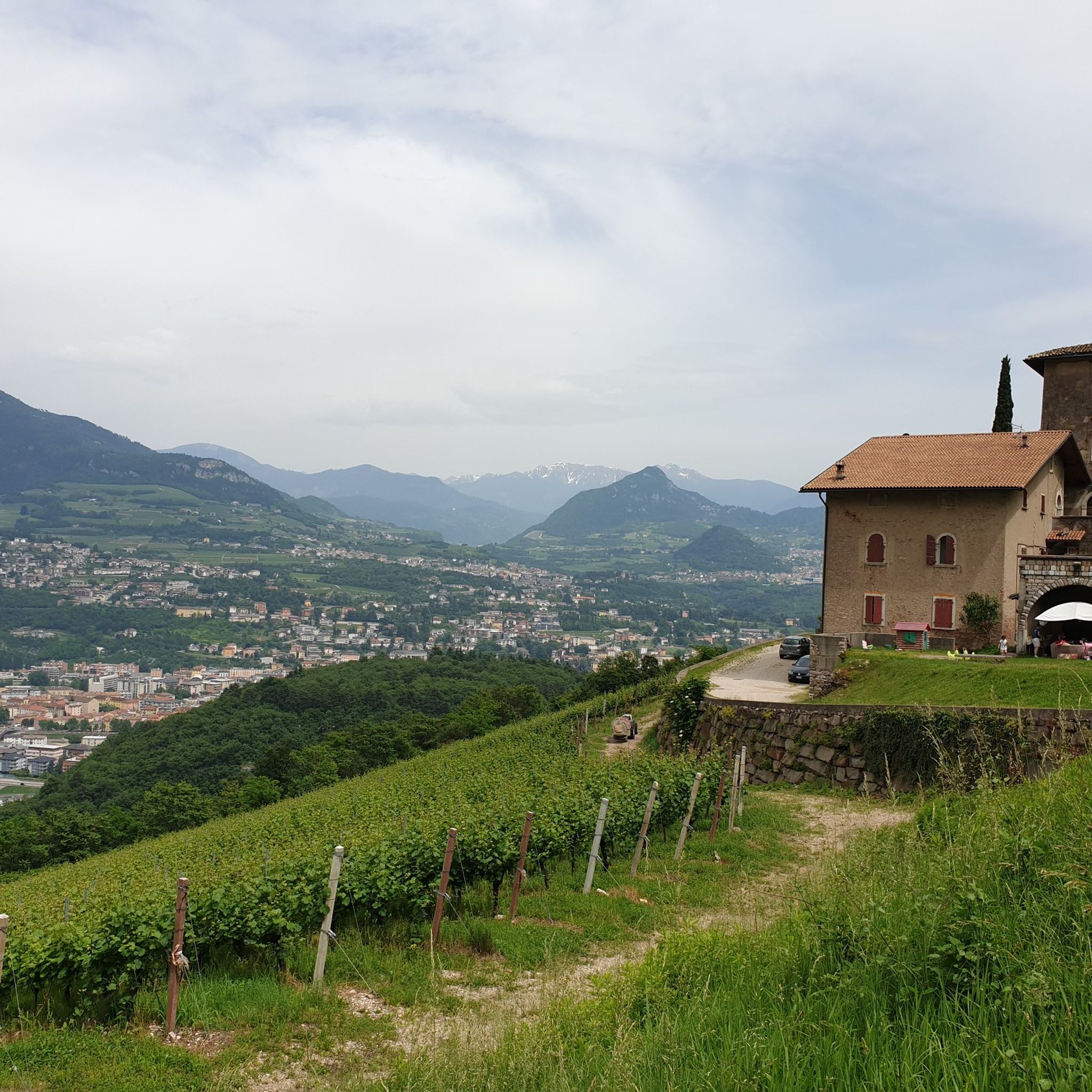
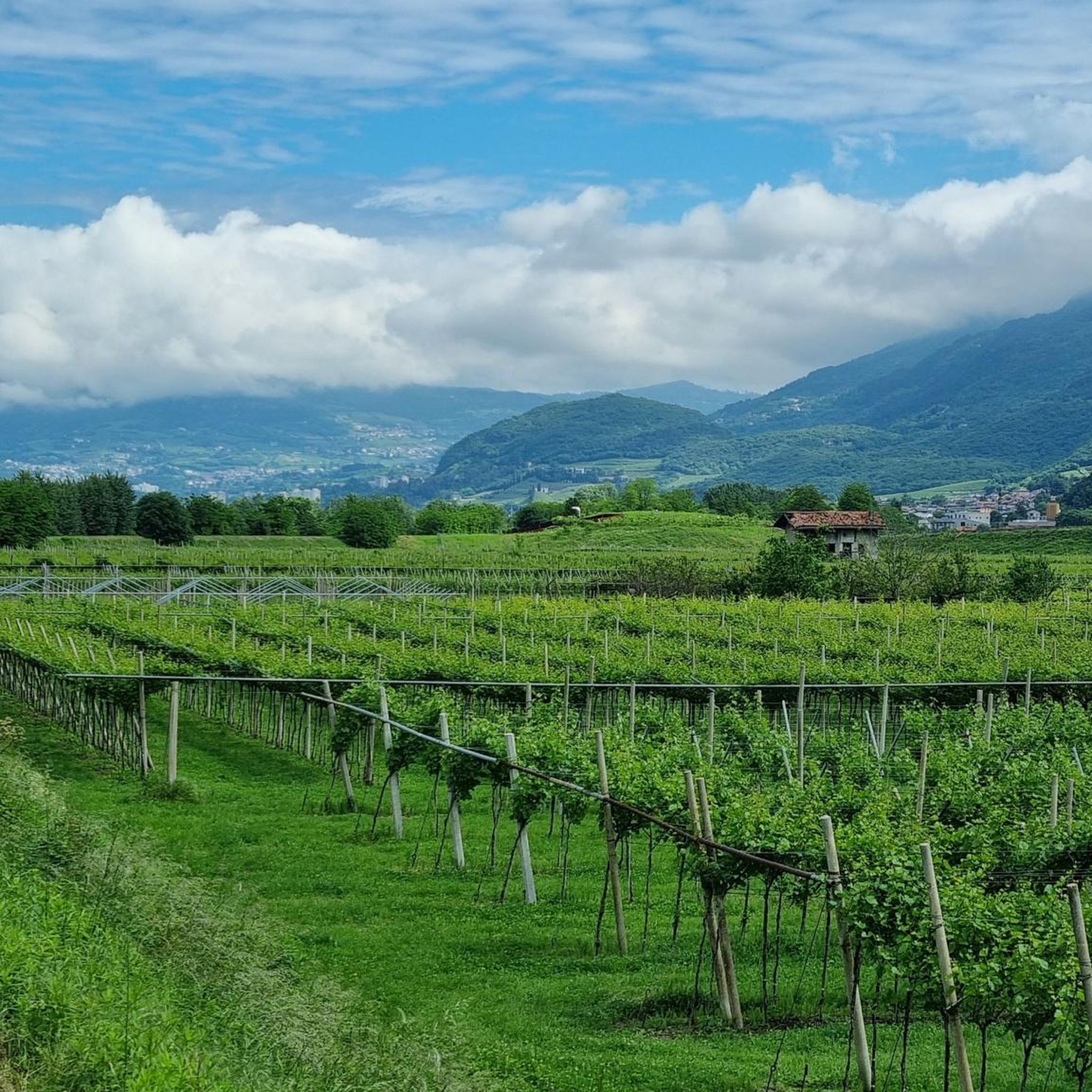
Hiking around Aldeno offers diverse landscapes, from rural vineyards and orchards to rugged alpine environments. Situated on the eastern slopes of Monte Bondone, the area provides access to the broader Trentino mountains, including the Dolomites. The terrain varies from gentle walks through agricultural areas to challenging ascents in mountainous regions. This blend of features creates a comprehensive hiking experience for various skill levels.
Best hiking trails around Aldeno
- The most popular hiking route is Tre Cime del Bondone Circuit,…
Last updated: October 25, 2026
4.3
(6)
27
hikers
14.1km
08:02
1,500m
1,500m
Hard hike. Very good fitness required. Sure-footedness, sturdy shoes and alpine experience required.
4.5
(15)
43
hikers
Moderate hike. Good fitness required. Mostly walkable paths. Sure-footedness required.

5.0
(2)
19
hikers
8.99km
03:58
620m
620m
Hard hike. Good fitness required. Sure-footedness, sturdy shoes and alpine experience required.
4.9
(7)
18
hikers
10.4km
03:58
610m
610m
Hard hike. Good fitness required. Sure-footedness, sturdy shoes and alpine experience required.
10
hikers
9.59km
02:27
30m
30m
Moderate hike. Good fitness required. Easily walkable paths.
Get access to more routes and recommendations from other explorers.
Already have an account?
Our route recommendations are based on thousands of hikes, rides, and runs completed by other people on komoot.
Start today with a free account
Your next adventure awaits.

Tips from the Community

The Arione stream gorge, with its numerous waterfalls, can be explored following a trail on the right bank, reserved for experienced hikers. The trail is not included in the komoot map.
0
0

Tough climb and technical descent
0
0
The climb that leads to Peschiera is quite tough, so try it on the descent with caution.
0
0

This stretch of trail is particularly evocative, with sections dug into the rock and cycle tunnels.
0
0

Small and ruined stone shelter built by Stefano Cont nicknamed Corazza
0
0

The difficult Via Ferrata Giulio Segata is not signposted. To get there you follow the Sentiero del Coraza. The via ferrata, signposted a little further up, is the slight gully next to Via Giulio Segata.
0
0

Here you can visit the farm (great for children) and buy farm products in the farm shop.
0
0

excellent vantage point, slightly offset from the path that continues to Garniga
0
0
Frequently Asked Questions
How many hiking trails are available around Aldeno?
Aldeno offers a wide variety of hiking experiences, with over 580 routes available. These range from easy walks through vineyards to challenging alpine ascents.
What kind of terrain can I expect on hikes near Aldeno?
The terrain around Aldeno is incredibly diverse. You can find gentle walks through picturesque vineyards and orchards, as well as more rugged alpine environments on the slopes of Monte Bondone and towards the broader Trentino mountains. Trails vary from well-maintained paths to more challenging, rocky ascents.
Are there hiking options for different skill levels in Aldeno?
Yes, Aldeno caters to all fitness levels. There are approximately 188 easy routes, 300 moderate trails, and 94 difficult hikes. This variety ensures that both casual walkers and experienced mountaineers can find suitable options.
Are there any circular hiking routes around Aldeno?
Yes, several popular routes are designed as loops. For example, the Tre Cime del Bondone Circuit is a difficult 8.5-mile loop offering panoramic views. Another challenging option is the Climb to Monte Cornetto and Cima Verde — Ring tour.
Can I find hikes with notable viewpoints or natural features near Aldeno?
Absolutely. The region is rich in natural beauty. Many trails offer stunning panoramic views of the Dolomites, Lake Garda, and the Adige Valley. You can also discover natural monuments like the Monte Cornetto summit (2,178 m), or the Fonte Romana. The area is also known for its vineyards and orchards, providing a picturesque backdrop for many walks.
Are there any waterfalls to see on hikes around Aldeno?
Yes, hikers can visit the Zambèl Waterfall, a notable natural feature in the area. Additionally, the Orrido di Ponte Alto, a canyon with impressive waterfalls, is also accessible.
Is it possible to reach trailheads near Aldeno using public transport?
While specific public transport routes to every trailhead can vary, Aldeno is part of the Trentino region which generally has a well-developed public transport network. For detailed information on bus schedules and connections to specific trailheads, it's advisable to check local transport authority websites or inquire at the local tourist information center in Aldeno.
Where can I find parking for hiking trails around Aldeno?
Parking availability varies by trailhead. Many popular starting points for hikes, especially those leading to Monte Bondone or other significant areas, typically have designated parking areas. For specific routes, it's recommended to check the route details on komoot or local maps for parking information near the starting point.
Are there family-friendly hiking trails in Aldeno?
Yes, Aldeno offers numerous easy and moderate trails suitable for families. These often wind through the charming vineyards and orchards, or provide gentler ascents with rewarding views. The region's natural parks, such as Adamello-Brenta, also feature themed trails designed for discovery, which can be great for families.
Are dogs allowed on hiking trails near Aldeno?
Generally, dogs are welcome on most hiking trails in the Trentino region, provided they are kept on a leash and owners clean up after them. However, specific rules might apply in certain protected areas or nature reserves. It's always best to check local regulations for the particular trail you plan to hike.
What is the best time of year to go hiking in Aldeno?
The best time for hiking in Aldeno is typically from spring to autumn (May to October). During these months, the weather is generally pleasant, and trails are clear of snow. Summer offers lush landscapes, while autumn provides stunning fall foliage. Higher alpine routes might be accessible only in summer due to snow cover.
What do other hikers enjoy the most about hiking in Aldeno?
The komoot community highly rates the hiking experience in Aldeno, with an average score of 4.4 stars from over 3,300 reviews. Hikers often praise the diverse landscapes, from the peaceful vineyards to the dramatic mountain views, and the well-marked trails that cater to various abilities.
Are there places to eat or stay near the hiking trails in Aldeno?
Aldeno and the surrounding villages offer various options for refreshments and accommodation. You'll find local cafes, restaurants, and agriturismos that serve traditional Trentino cuisine. For specific recommendations, it's best to check local listings or inquire in Aldeno itself, which is known for its refined wines and rural traditions.
Most popular attractions around Aldeno

Get inspired with the komoot mobile app


Explore more
Browse the best Hikes in other regions.
