The best MTB trails around Gandellino
4.4
(428)
1,669
riders
44
rides
Mountain biking around Gandellino offers a diverse range of trails through the Seriana Valley, characterized by its mountainous terrain and dense forests. The region features significant elevation changes, with routes often following river valleys and ascending into the surrounding peaks. Mountain bikers can expect a mix of challenging climbs and technical descents, with views of the Lombardy Alps. The landscape provides varied surfaces, from forest paths to more rugged mountain tracks.
Best mountain bike trails around Gandellino
- The most popular…
Last updated: October 9, 2026
4.0
(21)
49
riders
17.7km
01:49
640m
640m
Moderate mountain bike ride. Good fitness required. Suitable for all skill levels.
4.0
(22)
60
riders
27.5km
03:06
1,100m
1,100m
Hard mountain bike ride. Very good fitness required. Advanced riding skills necessary. Some portions of the route may require you to push your bike.

4.4
(12)
37
riders
25.6km
02:07
680m
680m
Hard mountain bike ride. Good fitness required. Advanced riding skills necessary. Some portions of the route may require you to push your bike.
4.3
(28)
121
riders
38.0km
03:22
1,020m
1,010m
Hard mountain bike ride. Very good fitness required. Advanced riding skills necessary. Some portions of the route may require you to push your bike.
4.6
(8)
49
riders
39.2km
03:36
1,300m
1,300m
Hard mountain bike ride. Very good fitness required. Suitable for all skill levels.
Get access to more routes and recommendations from other explorers.
Already have an account?
Our route recommendations are based on thousands of hikes, rides, and runs completed by other people on komoot.
Start today with a free account
Your next adventure awaits.

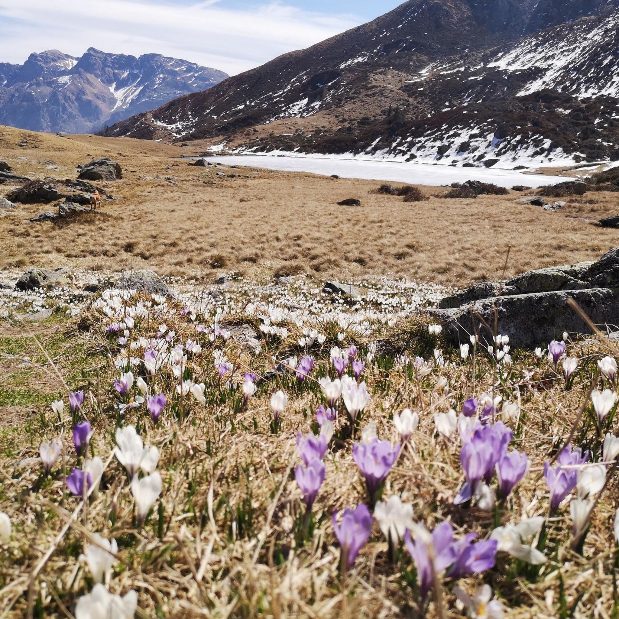
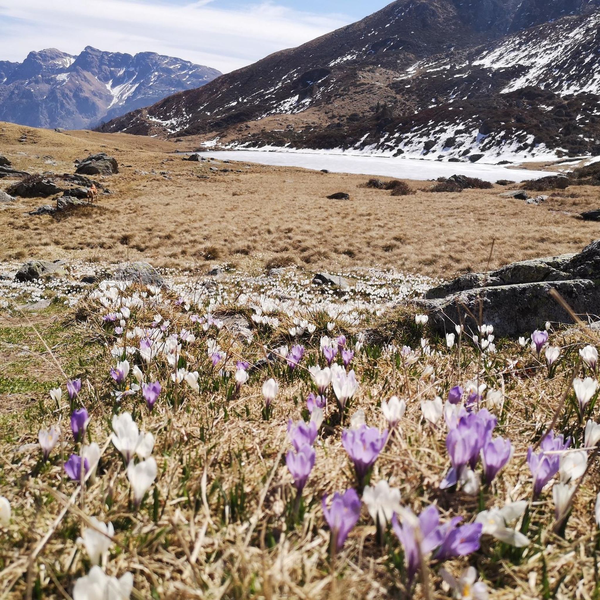
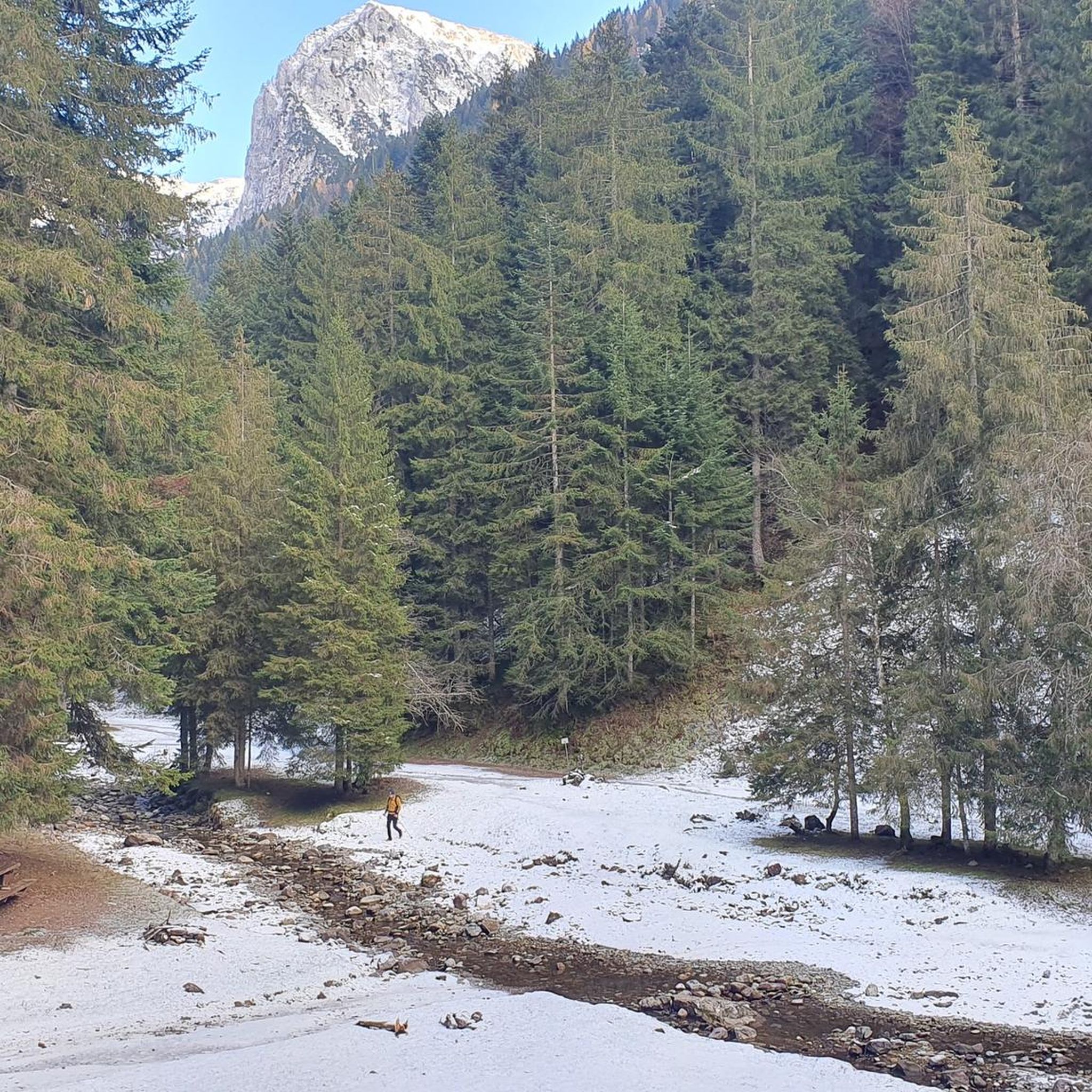
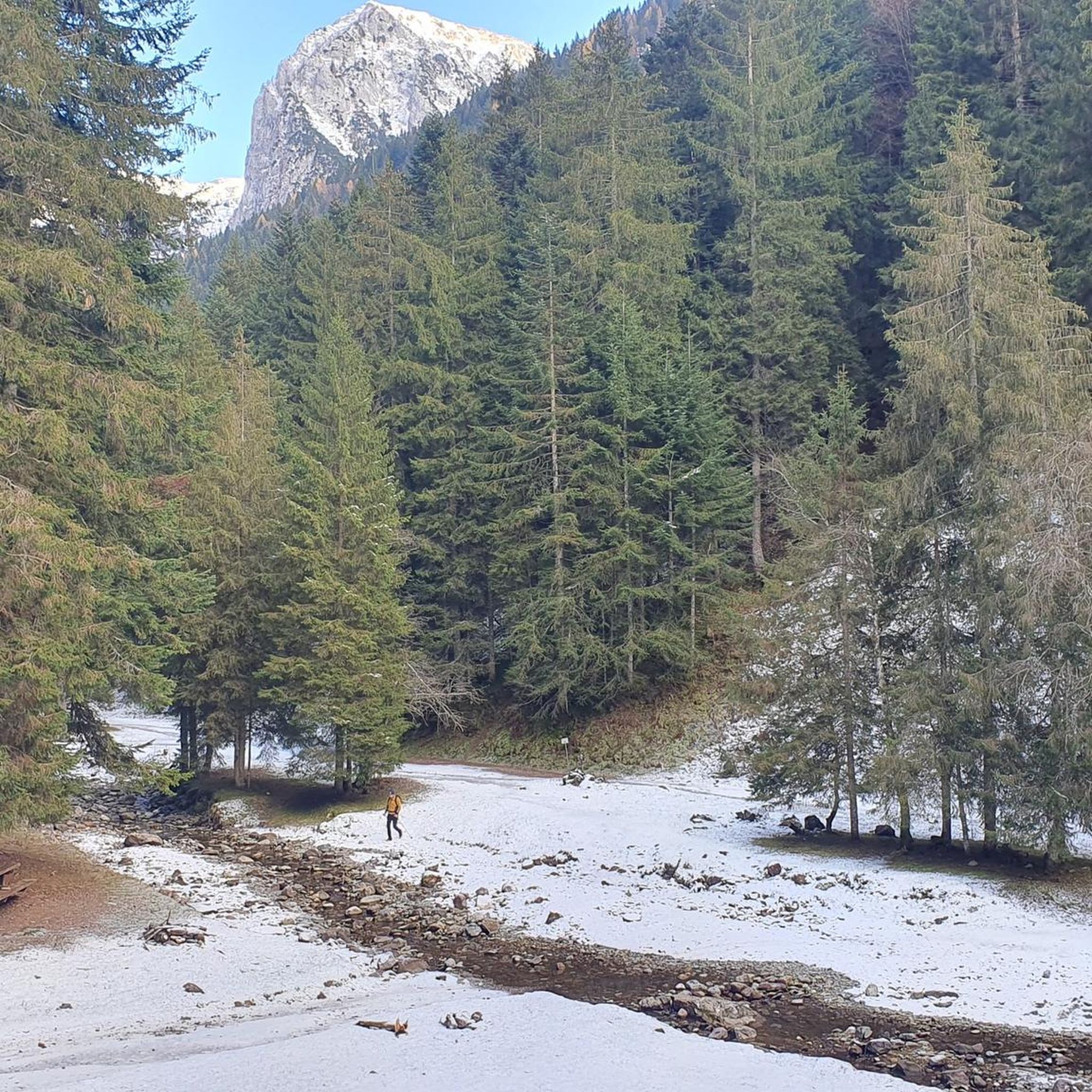

Other adventures around Gandellino

Tips from the Community

One of the few ancient constructions, found in the Bergamo area, in which dairy products produced at high altitude were stored for aging and conservation. The Selter del Ruì is, in its characteristic stone construction with a vaulted roof covered with earth, a close relative of the more famous Tuscan Burraie. Which, however, have the characteristic of running water in their internal tanks. Here, replaced by a cold flow of air that crosses the small construction.
11
0
According to history, Möschel was the scene in 774 AD of a battle between the troops of the Lombard Prince Alano and part of those of Charlemagne, who had pursued him along the Valle di Scalve. The huts (5) form a tiny village in the plain of the same name. Half a century ago they were still stone huts dedicated to summer grazing. Now they have all been converted into rural high-altitude dwellings. Il Möschel is the starting point for Passo dello Scagnello and Rif. Albani; and for the ascent to Ferrantino and Ferrante. A little before, in the woods, there is a charming bivouac.
11
0
Charming little village, composed of a cluster of houses. Upon arrival, the Baroque church with its splendid pronaos makes a beautiful display. It is dedicated to Saint Margaret and richly frescoed. It is worth a stop to visit. A little further on, in the center of the small village, a beautiful fountain/washhouse.
11
0

Gromo, which is part of the circuit of “The most beautiful villages in Italy” and has obtained the “Orange Flag” from the Touring Club Italiano, rises on a rocky promontory, surrounded by meadows and fir forests. The town, famous in antiquity for its iron and silver mines and for its white weapon factories, maintains the compact medieval fabric in the upper part of the inhabited area.
0
0
Perfectly working. It was 5:30 PM daylight saving time.
0
0

The Spiazzi dell'Acqua Picnic Area is one of the most peaceful and pleasant spots in the Gandellino area, surrounded by greenery and perfect for a relaxing break before or after a hike. Located in an easily accessible clearing, it offers tables, natural shade, and a cool atmosphere thanks to the proximity to the water. It's a simple yet meticulously maintained spot, ideal for families, groups, or anyone looking to enjoy a quiet moment in nature. Its secluded location and wooded setting make it a small haven of peace, convenient to reach yet far from the noise.
0
0
The erratic boulder, a parallelepiped of reddish-purple verrucano, has a volume of about 20 cubic meters and emerges from the ground by about 130 cm. The walls facing East and West have detached from the boulder due to weathering, rotating slightly outwards and show an outline of carved steps to facilitate access to the boulder. The upper part, slightly concave and sloping towards the valley, features various rough-hewn but somewhat symmetrically arranged carvings, cupules, and small channels: they are mainly distributed along three parallel lines. The face facing North also shows a series of cup-shaped carvings arranged in an oblique line. The shape and distribution of these carvings are such that they cannot be considered of natural origin. This altar stone was presumably a sacred place for the ancient priests, the Druids of the Celts. Perhaps a place of sacrifice. According to studies carried out here and in other areas of the Alps, it is believed that the altar stone was used for sacred rites between the third and first millennia BC. In reality, the sacredness of this place is not only related to prehistory. The name "Sedornia" is a transformation of the Roman name "Sáturnia", thus another religious element, the god Saturn, god of nature, prosperity, and abundance.
0
0
Water Spiazzi equipped area
0
0
Frequently Asked Questions
How many mountain bike trails are available around Gandellino?
There are over 35 mountain bike trails around Gandellino, offering a wide range of options for different skill levels. The region features significant elevation changes and diverse terrain through the Seriana Valley.
What is the best time of year for mountain biking in Gandellino?
The best time for mountain biking in Gandellino is generally from spring through autumn. During these seasons, the weather is more stable, and trails are typically free of snow, offering optimal conditions for exploring the mountainous terrain and dense forests.
Are there any easy mountain bike trails suitable for beginners in Gandellino?
While many routes in Gandellino are challenging, there are a few easier options. The guide lists 2 easy trails and 7 moderate trails, which could be suitable for beginners looking for less demanding rides. These often follow river valleys or less steep forest paths.
What are some challenging mountain bike routes for experienced riders in Gandellino?
Experienced riders will find plenty of challenging routes, with 28 difficult trails available. Routes like Valzurio Village – Baite del Möschel loop from Gromo (23.6 miles / 38.0 km) and Cycle Path Along the River – Connection to Val Sedornia loop from Gromo (21.0 miles / 33.7 km) feature substantial climbs and technical descents through alpine pastures and wooded sections.
Can I find circular mountain bike routes around Gandellino?
Yes, many mountain bike routes around Gandellino are circular. For example, the popular Val Seriana e Val Sedornia - Giro ad anello is a moderate 11.0-mile (17.7 km) loop exploring two distinct valleys. Another option is the difficult Connection to Val Sedornia – Descent to Gandellino loop from Gandellino, which is a 38.1 km loop.
Are there mountain bike trails in Gandellino that offer scenic viewpoints?
The mountainous terrain of the Seriana Valley naturally offers many scenic viewpoints. Routes often ascend into the surrounding peaks, providing views of the Lombardy Alps. While specific viewpoints are not always marked, the higher elevation trails, such as the Alpe Corte Hut – Zulino Pass loop from Gromo, are likely to provide expansive vistas.
What kind of terrain can I expect on Gandellino's mountain bike trails?
You can expect a mix of challenging climbs and technical descents. The terrain varies from forest paths to more rugged mountain tracks, often following river valleys and ascending into the surrounding peaks. The region is characterized by deep valleys, challenging mountain ascents, and extensive forest trails.
Are there any interesting natural attractions to see along the mountain bike trails in Gandellino?
Yes, the area around Gandellino is rich in natural attractions. You might encounter stunning waterfalls like the Sambuzza Valley Waterfall or the impressive Serio Falls. There are also unique geological formations such as the Giant's Kettles of Valzurio and various gorges like the Sanguigno Valley.
What do other mountain bikers say about the trails in Gandellino?
The mountain bike trails in Gandellino are highly rated by the komoot community, with an average score of 4.4 stars from over 280 reviews. Reviewers often praise the diverse terrain, challenging ascents, and the beautiful natural scenery of the Seriana Valley.
Are there any mountain bike trails in Gandellino that are suitable for families?
For families, focusing on the easier or moderate trails is recommended. While the region is known for its challenging routes, some valley rides or less steep forest paths can be suitable. Look for routes described as 'moderate' or 'easy' in the guide, which typically have less extreme elevation changes.
Are permits required for mountain biking on trails around Gandellino?
Generally, permits are not required for mountain biking on public trails in the Gandellino area. However, it's always advisable to respect local regulations and private property signs. Some specific areas or events might have special requirements, so check local signage.
Where can I find parking or trailheads for mountain biking in Gandellino?
Trailheads for mountain biking in Gandellino are typically accessible from the main villages in the Seriana Valley, including Gandellino itself and nearby Gromo. Parking is usually available in or near these towns, often at public parking lots or designated areas close to the start of popular routes.
Most popular attractions around Gandellino

Get inspired with the komoot mobile app


Explore more
Browse the best MTB trails in other regions.
